
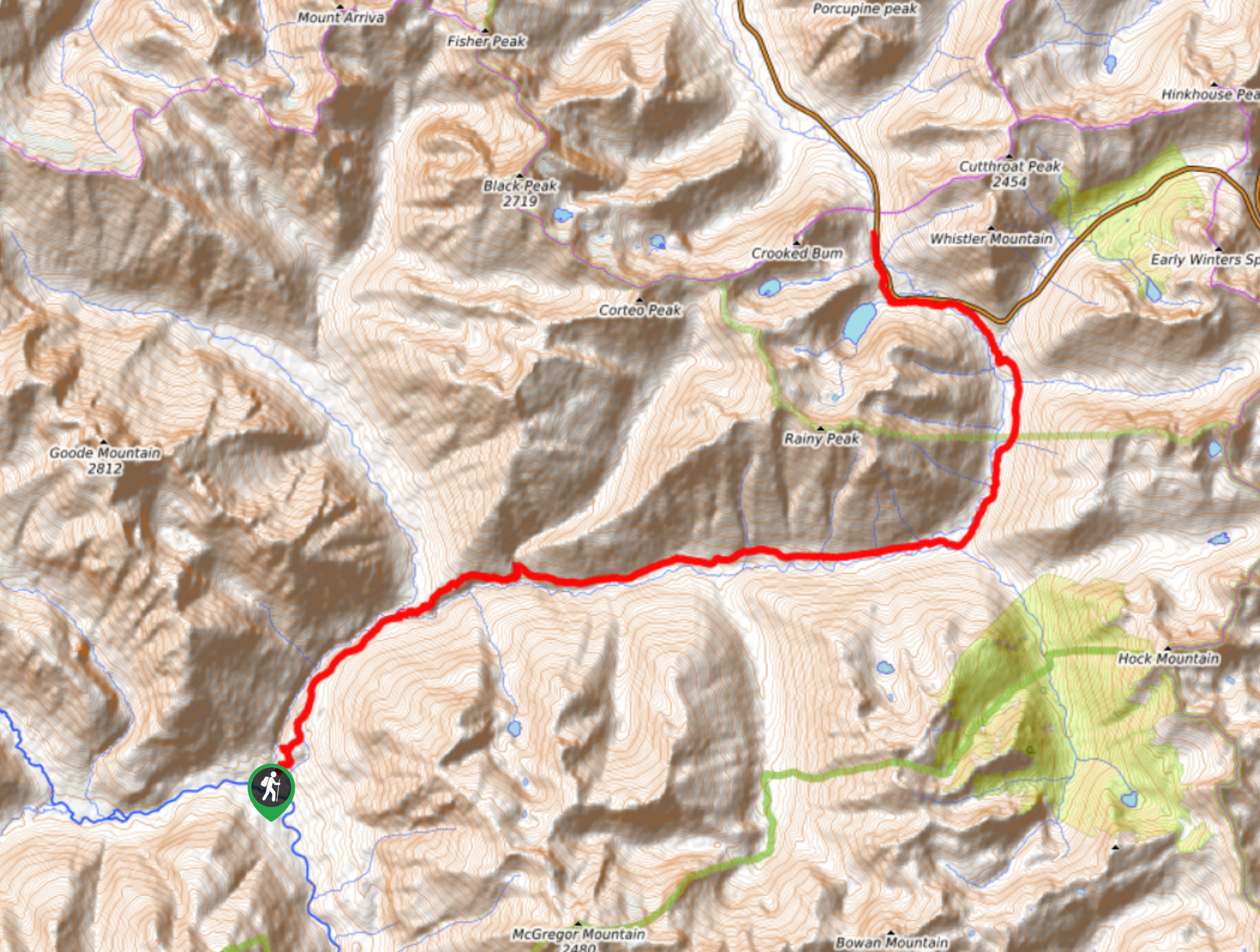
Bridge Creek Trail
View Photos
Bridge Creek Trail
Difficulty Rating:
Bridge Creek Trail is a 13.9mi route in North Cascades National Park that is considered hard. This is a point-to-point route that serves to link other trails in the area, including Stehekin Valley Road, North Fork Bridge Creek, Twisp Pass, McAlester Pass, and more. It’s not commonly done as a day trip but you could easily make a portion of this trail an out and back adventure without needing to backpack.
Getting there
The trailhead for Bridge Creek Trail is at Rainy Pass off North Cascades Highway.

About
| Backcountry Campground | Various backcountry |
| When to do | June-October |
| Pets allowed | No |
| Family friendly | No |
| Route Signage | Average |
| Crowd Levels | High |
| Route Type | One Way |
Bridge Creek Trail
Elevation Graph
Weather
Bridge Creek Trail Description
Bridge Creek Trail is a 13.9mi hard trek. This point-to-point route is usually used by backpackers to link up with other trails, but part of this route can be hiked as an out and back adventure if you’re not backpacking.
Begin at the PCT trailhead off the highway. You’ll hike south alongside the highway initially before turning south. Roughly following the river valley, you’ll hike through the forest. Turn right at a three-way junction before Firewood Camps, hiking past several backcountry camps. There is a steep descent before the trail ends at the junction with Stehekin Valley Road.
Similar hikes to the Bridge Creek Trail hike
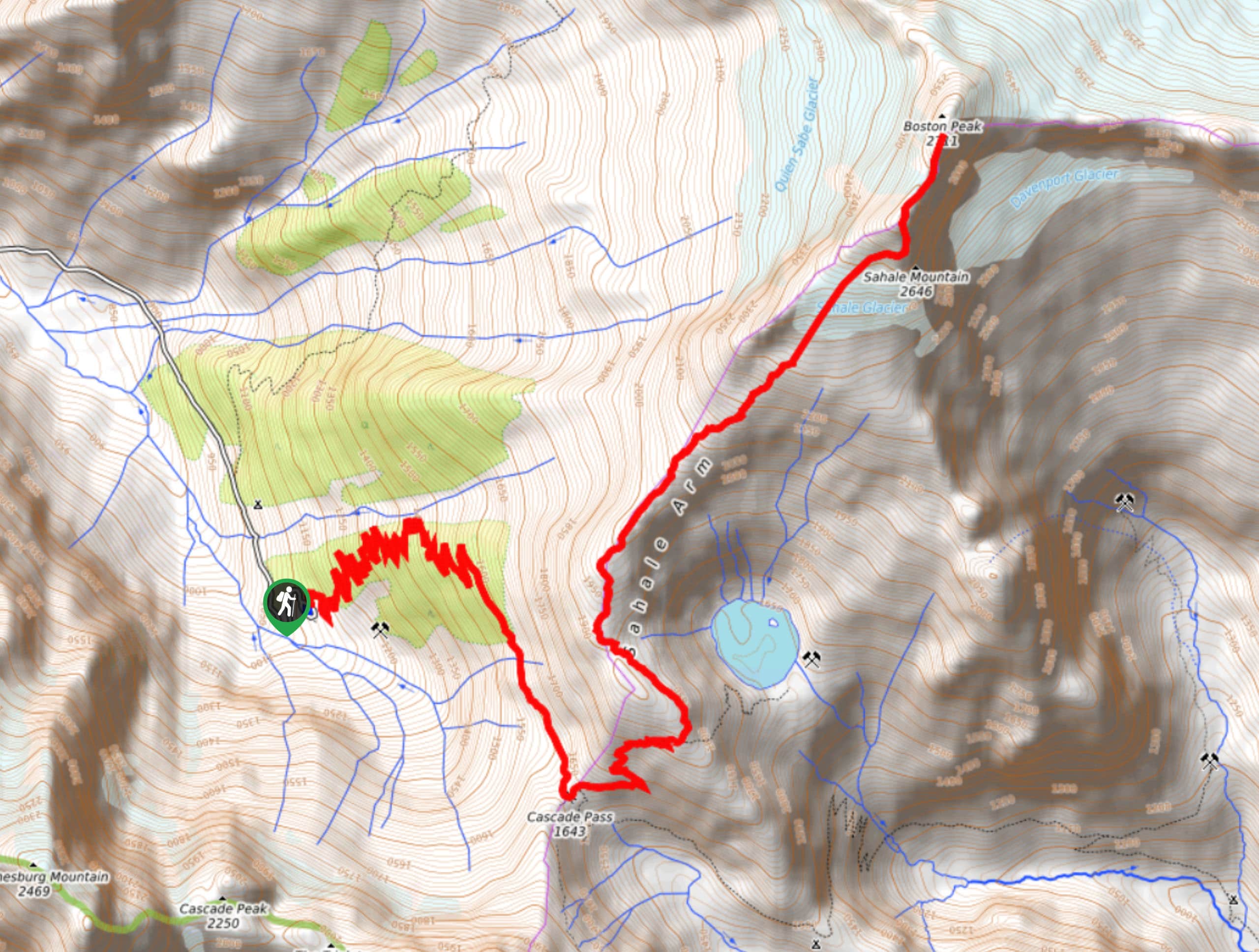
Sahale Arm Trail to Quien Sabe Glacier
Hike through one of the most jaw-dropping locations you can reach on foot in North Cascades National Park on the…
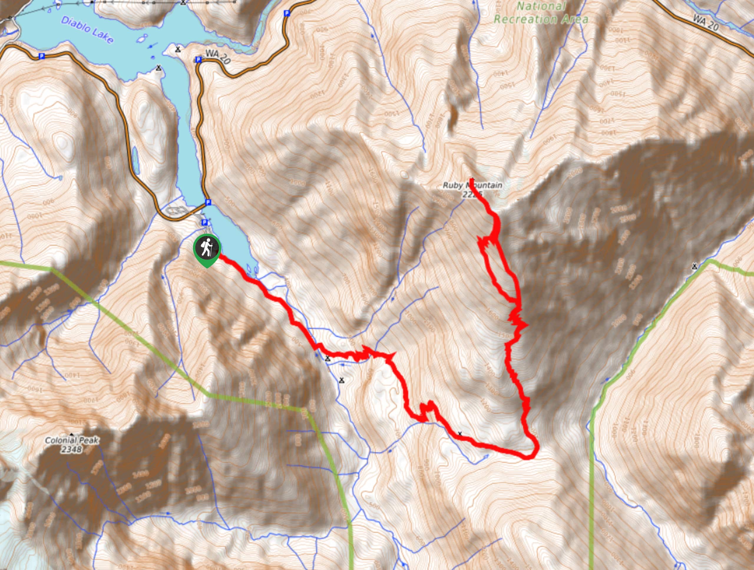
Ruby Mountain Summit via Fourth of July Pass and Thunder Creek
Ruby Mountain Summit via Fourth of July Pass and Thunder Creek is a hard hike used by both day hikers…
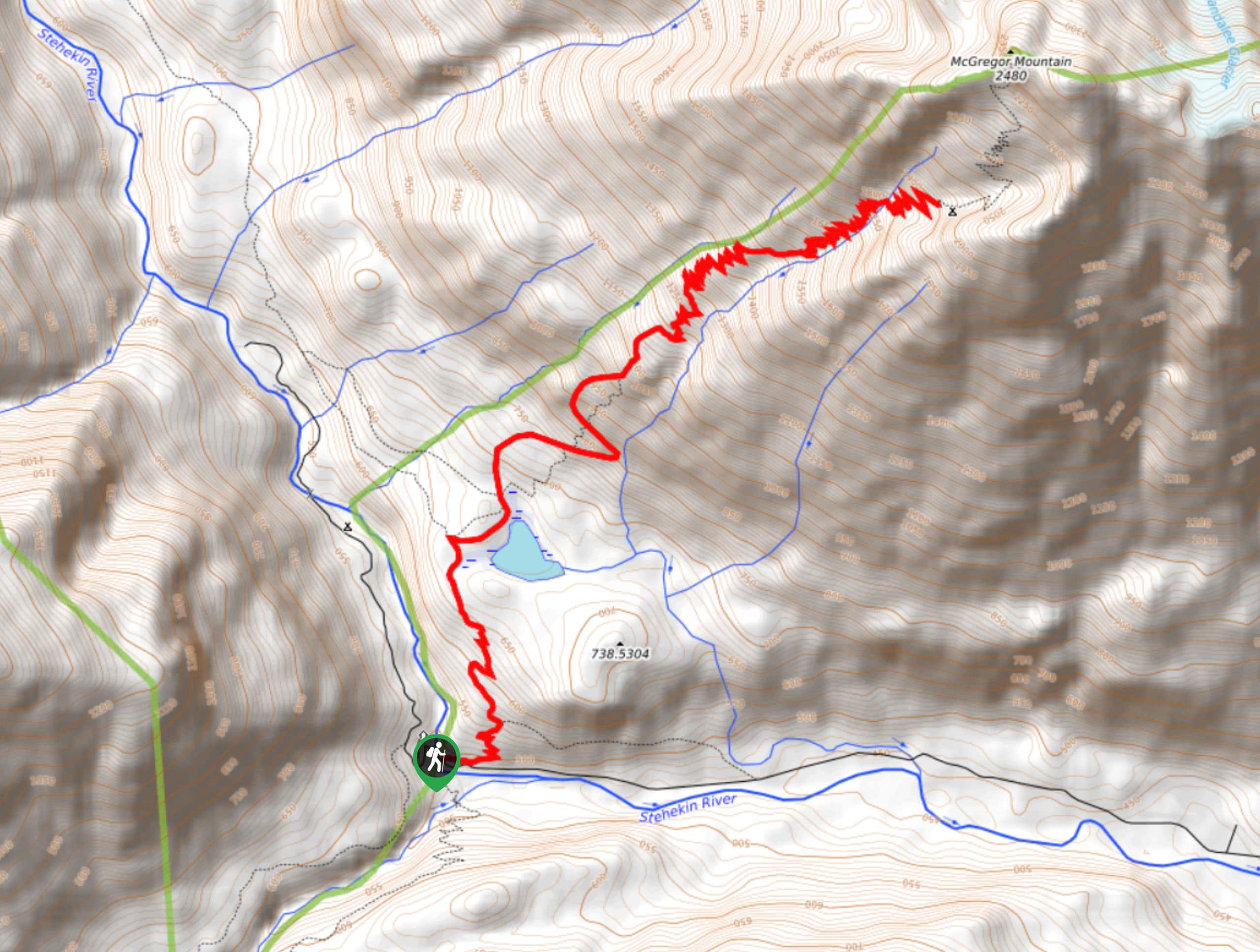
McGregor Mountain Trail
McGregor Mountain is a physically demanding trail with over 4265ft of elevation gain in North Cascades National Park.…
Comments