McGregor Mountain Trail
View Photos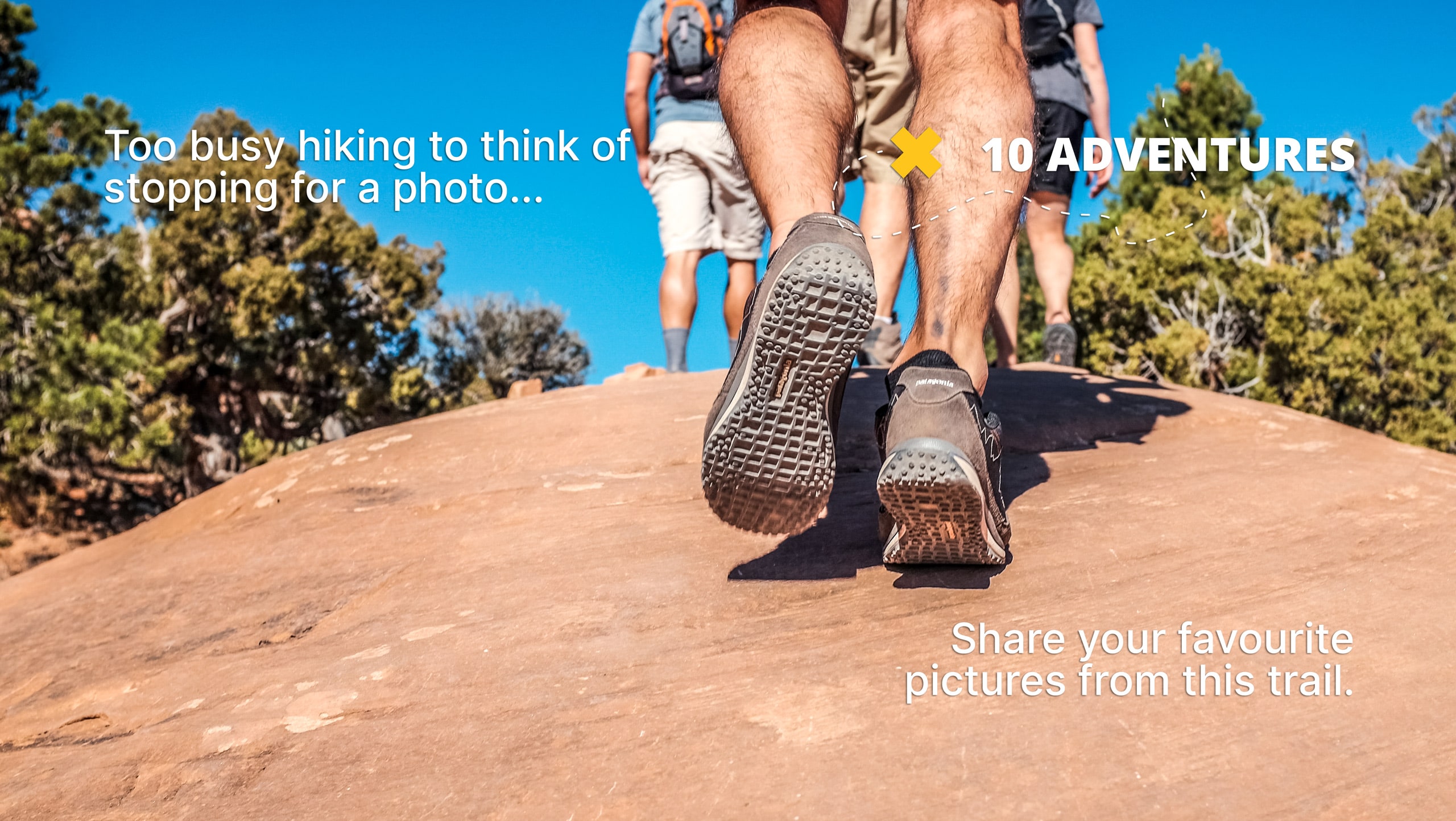
McGregor Mountain Trail
Difficulty Rating:
McGregor Mountain is a physically demanding trail with over 4265ft of elevation gain in North Cascades National Park. This trail is very difficult and only recommended for experienced, confident hikers. You likely won’t be able to reach the true summit without specialized equipment, but well-prepared day hikers can get quite close.
Come with lots of water, poles, and a GPS route.
Getting there
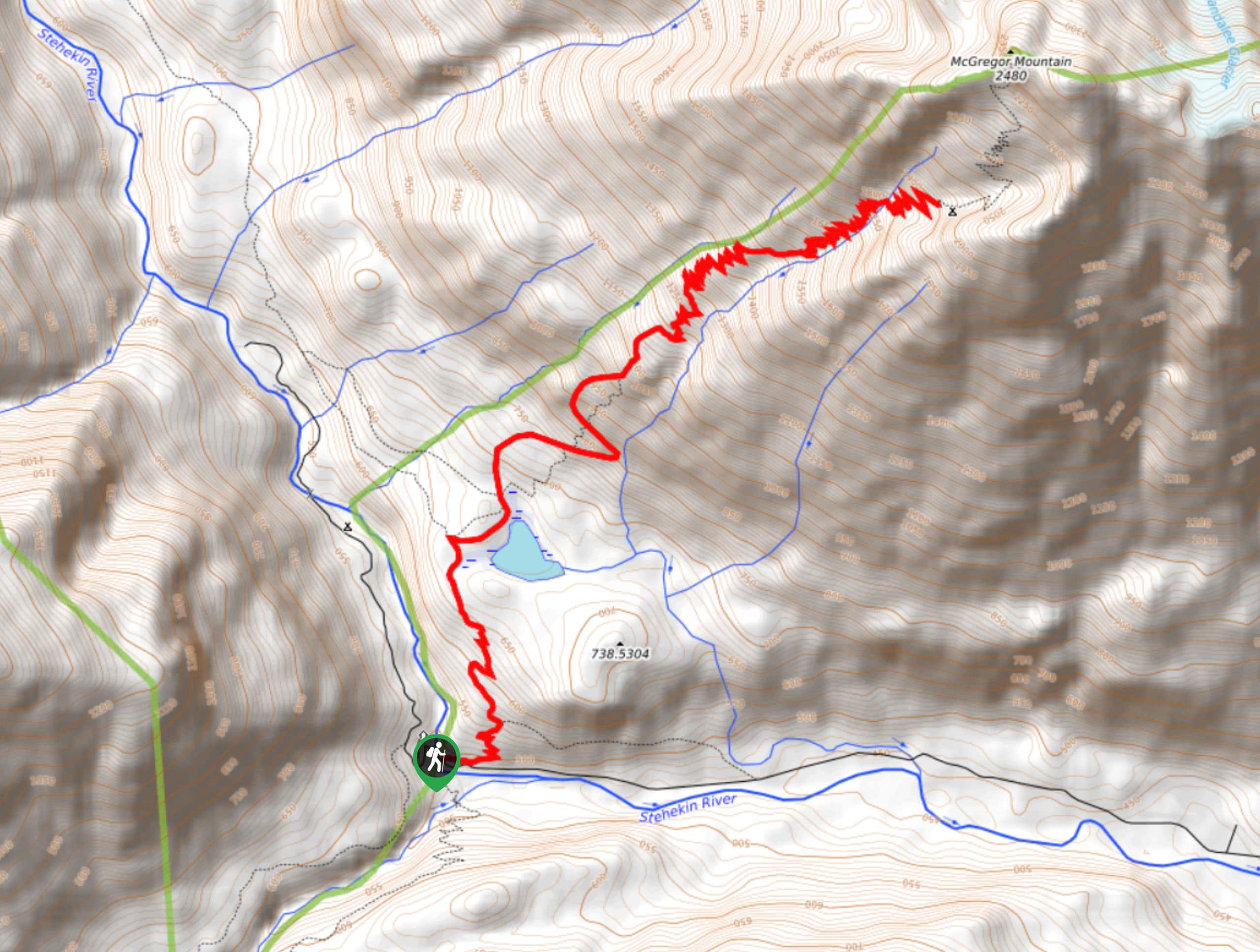
The trailhead for McGregor Mountain Trail is accessed on foot only. It’s at a junction with Stehekin Valley Road.

About
| Backcountry Campground | High Bridge |
| When to do | June-October |
| Pets allowed | No |
| Family friendly | No |
| Route Signage | Average |
| Crowd Levels | Low |
| Route Type | Out and back |
McGregor Mountain Trail
Elevation Graph
Weather
McGregor Mountain Trail Description
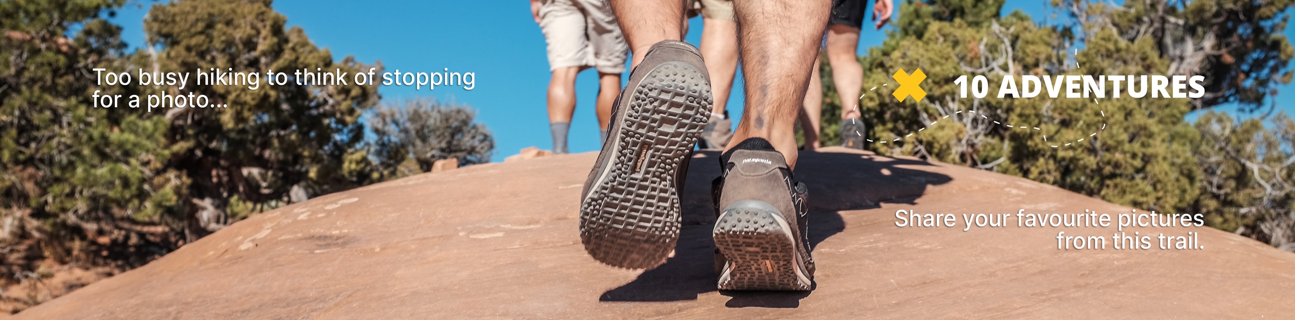
McGregor Mountain Trail is no joke, demanding hard work and offering an amazing reward for experienced hikers. Don’t necessarily expect to get on the true summit of this mountain due to the possible need for specialized equipment, but you can expect an incredible view from the point at which most hikers turn around.
Come prepared for this hike with lots of water. Some of the water sources along the trail are dangerous to try and reach. The trail is hot and unshaded for large sections.
Begin from the trailhead, immediately beginning to climb over steep switchbacks. This trail occasionally collects downed trees, so you might end up climbing a bit. Pass Howard Lake and continue through the middle of the 4-way junction, heading uphill.
You’ll briefly traverse one wide turn before returning to narrow switchbacks. This brutally steep ascent continues for what feels like forever. Between 6102ft and 7218ft, evaluate whether you feel capable of continuing, which is where most hikers make the call to come back if they don’t feel the summit is accessible. You’ll retrace your steps when you’re ready.
Similar hikes to the McGregor Mountain Trail hike
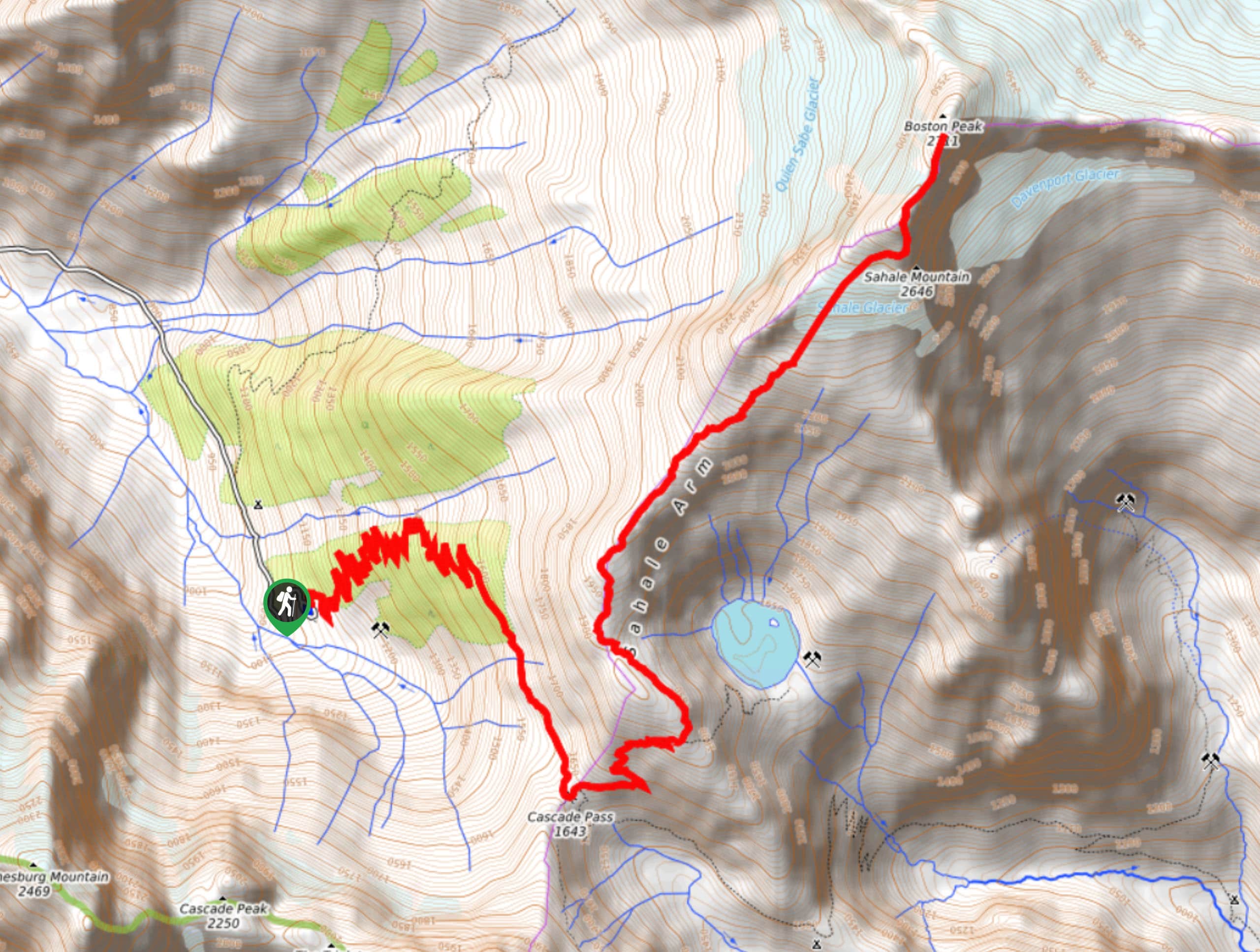
Sahale Arm Trail to Quien Sabe Glacier
Hike through one of the most jaw-dropping locations you can reach on foot in North Cascades National Park on the…
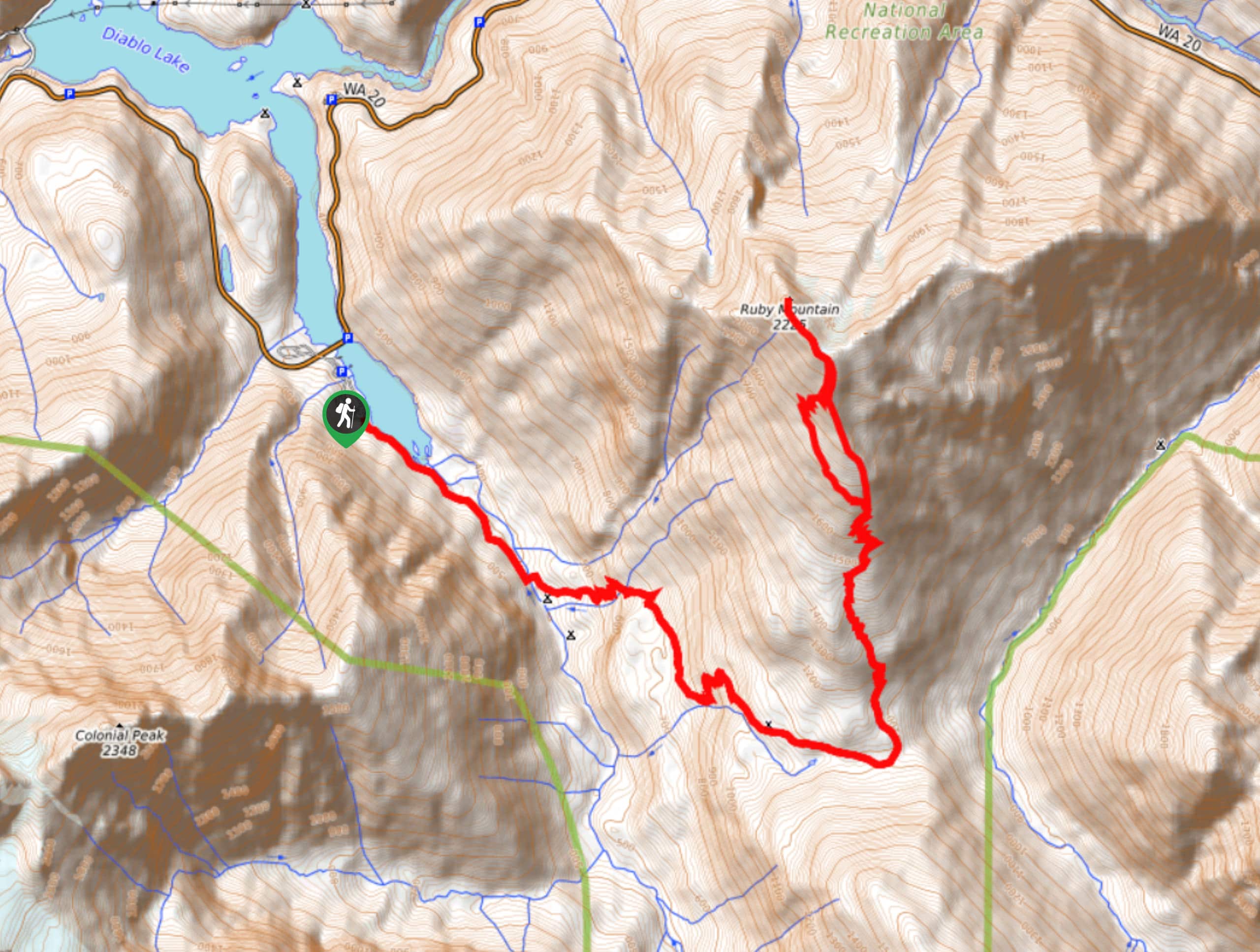
Ruby Mountain Summit via Fourth of July Pass and Thunder Creek
Ruby Mountain Summit via Fourth of July Pass and Thunder Creek is a hard hike used by both day hikers…
Stiletto Lake via Twisp Pass Trail
Stiletto Lake via Twisp Pass Trail is a long, difficult hike that feels quite remote. If you’re seeking a real…
Comments