Sahale Arm Trail to Quien Sabe Glacier
View Photos
Sahale Arm Trail to Quien Sabe Glacier
Difficulty Rating:
Hike through one of the most jaw-dropping locations you can reach on foot in North Cascades National Park on the Sahale Arm Trail to Quien Sabe Glacier hike. This is a difficult hike with heavy traffic, but it’s so worth it. The views of towering summits framing meadows filled with wildlife and the accomplishment of summiting Sahale will make this a hike you won’t forget.
Come prepared with poles, good boots, sun protection, and lots of water for this trail.
Getting there
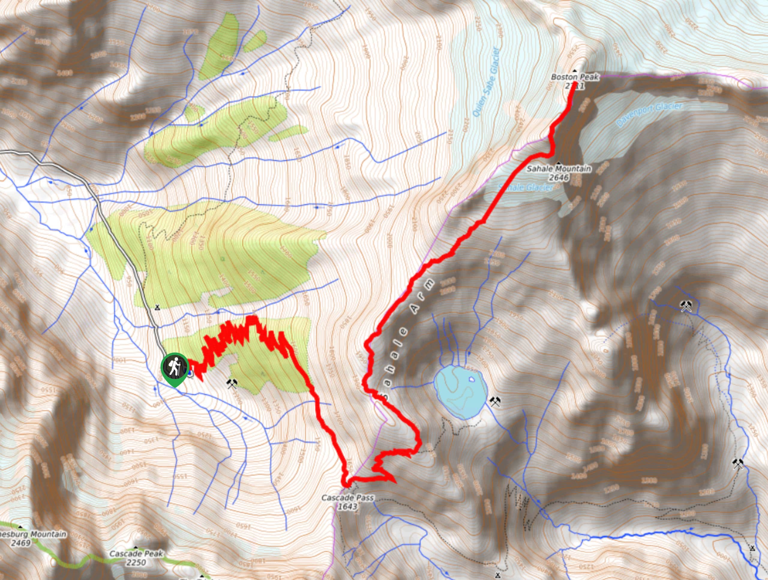
The trailhead for Sahale arm Trail to Quien Sabe Glacier is at the end of Cascade River Road.

About
| Backcountry Campground | Sahale Glacier Camp |
| When to do | June-October |
| Pets allowed | No |
| Family friendly | No |
| Route Signage | Average |
| Crowd Levels | High |
| Route Type | Out and back |
Sahale Arm Trail to Quien Sabe Glacier
Elevation Graph
Weather
Sahale Arm Trail to Quien Sabe Glacier Description
Hiking Sahale Arm Trail to the Quien Sabe Glacier is an epic adventure. This hike includes some of the dreamiest scenery in the North Cascades, from the peak-framed meadows of Cascade Pass to the high-up views from Sahale Mountain and the glacier. While it’ll be unforgettable, this hike requires some preparation. Come with lots of water, sun protection, poles, and good boots.
Some hikers aren’t comfortable completing the last portion of this trail because of the loose, scrambly condition of the route as it approaches the glacier. Only go as far as you feel comfortable going.
The hike begins from the Cascade Pass trailhead parking, and it begins with a bang. The first nearly 3 miles are continuous switchbacks before the path gradually evens out over a one-mile traverse. The trees gradually thin out as you get closer to the pass. Hike over some rockfields and make a few last turns before arriving in Cascade Pass.
Admire the view over the ridge of Johannesburg Mountain, Magic Mountain, Mixup Peak, and Cache Glacier. Behind you, El Dorado Peak dominates the view. Look for marmots and pika or even larger characters, including bears. From the pass, it’s time to head up Sahale. Take the trail heading north (left), switchbacking up a steep path. Go left on the trail, enjoying a stretch of flat trail before turning right towards the mountain. You’ll be back on a steep trail here.
About a half of a mile further, the path flattens out again. Before long, you’ll be heading back uphill, eventually over loose scree. The trail doesn’t relent until you arrive at the glacier camp. The views here are jaw-dropping, but you’re not quite there yet. Traverse north towards Boston Peak to see the glacier. Go as far as you’re comfortable going before turning back and retracing your steps.
Similar hikes to the Sahale Arm Trail to Quien Sabe Glacier hike
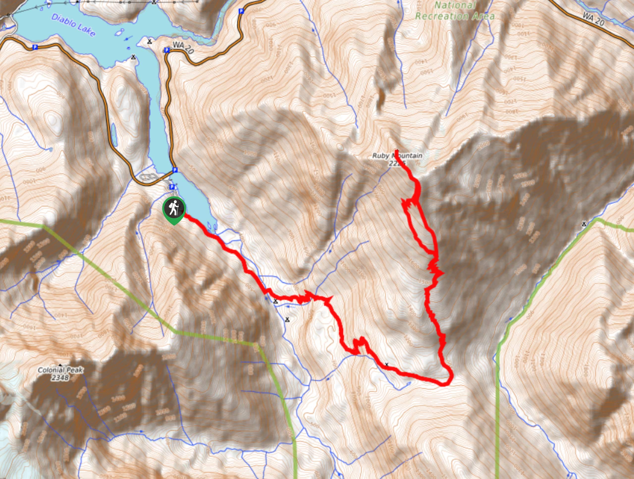
Ruby Mountain Summit via Fourth of July Pass and Thunder Creek
Ruby Mountain Summit via Fourth of July Pass and Thunder Creek is a hard hike used by both day hikers…
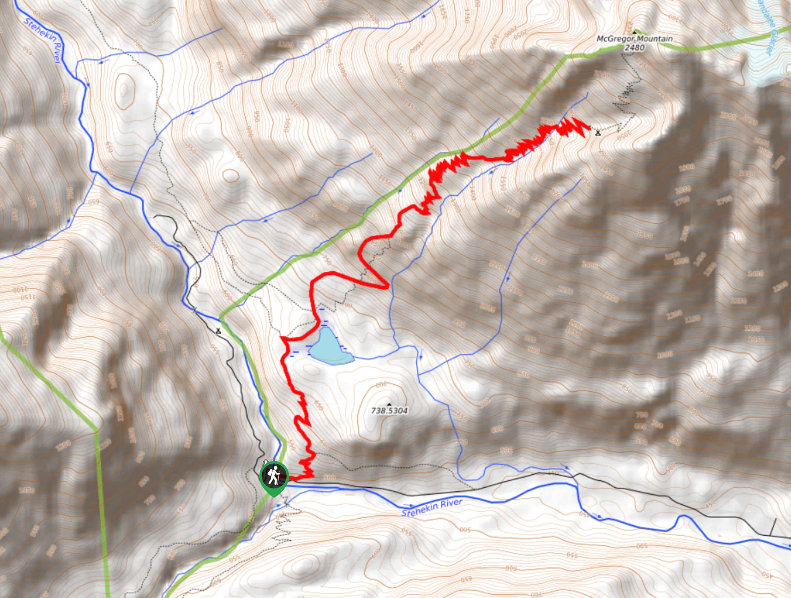
McGregor Mountain Trail
McGregor Mountain is a physically demanding trail with over 4265ft of elevation gain in North Cascades National Park.…
Stiletto Lake via Twisp Pass Trail
Stiletto Lake via Twisp Pass Trail is a long, difficult hike that feels quite remote. If you’re seeking a real…
Comments