
Gorge Creek Falls Trail
View Photos
Gorge Creek Falls Trail
Difficulty Rating:
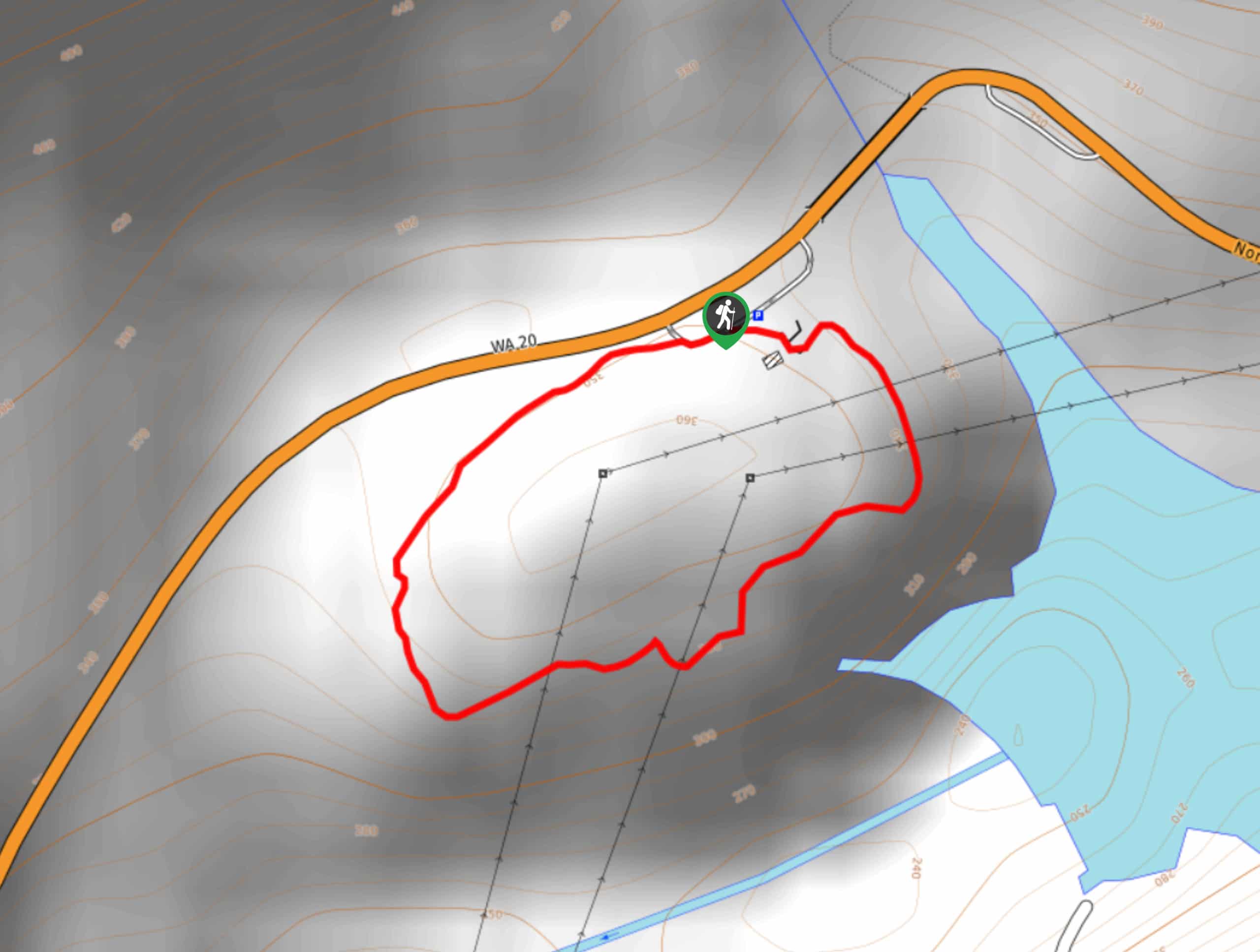
The Gorge Creek Falls Trail is a quick, easy loop trail with a waterfall view. It’s only 0.8km long with 12m of elevation gain, making it suitable for all levels and ages. Part of this trail is paved, making it stroller-friendly. It’s a nice way to stretch your legs before or after a day in the park.
Getting there
The trailhead for the Gorge Creek Falls Trail is off North Cascades Highway at the west end of Gorge Lake.

About
| Backcountry Campground | No |
| When to do | March-October |
| Pets allowed | No |
| Family friendly | Yes |
| Route Signage | Average |
| Crowd Levels | High |
| Route Type | Loop |
Gorge Creek Falls Trail
Elevation Graph
Weather
Gorge Creek Falls Trail Description
Gorge Creek Falls Trail is a very easy way to stretch your legs and enjoy a waterfall in a mossy forest. It’s less than a kilometer in length and nearly flat, so most visitors should be able to get to the viewpoint.
Begin from the parking area and take the path on your left. This will lead you to the falls viewpoint through the forest. You’ll loop around the trail through the trees back to the parking lot. If you want the quickest and easiest trail possible, you can hike this as an out and back from the short side of the trail. Enjoy the falls and the forest before heading out.
Similar hikes to the Gorge Creek Falls Trail hike
Trail of the Cedars Hike
The Trail of the Cedars is a 1.7mi easy hike in North Cascades National Park. This hike is…

Skagit River Loop Trail
The Skagit River Loop Trail is an easy hike in North Cascades National Park. This hike is suitable for all…
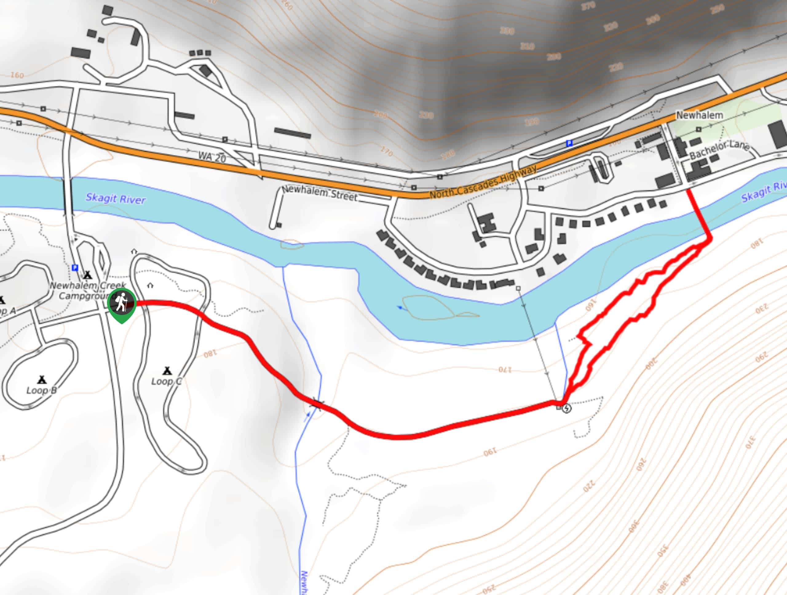
Rock Shelter Trail
Rock Shelter Trail is a relatively short and easy hike near Newhalem. This trail crosses the Skagit River and takes…
Comments