Fourth of July Pass via Thunder Creek
View Photos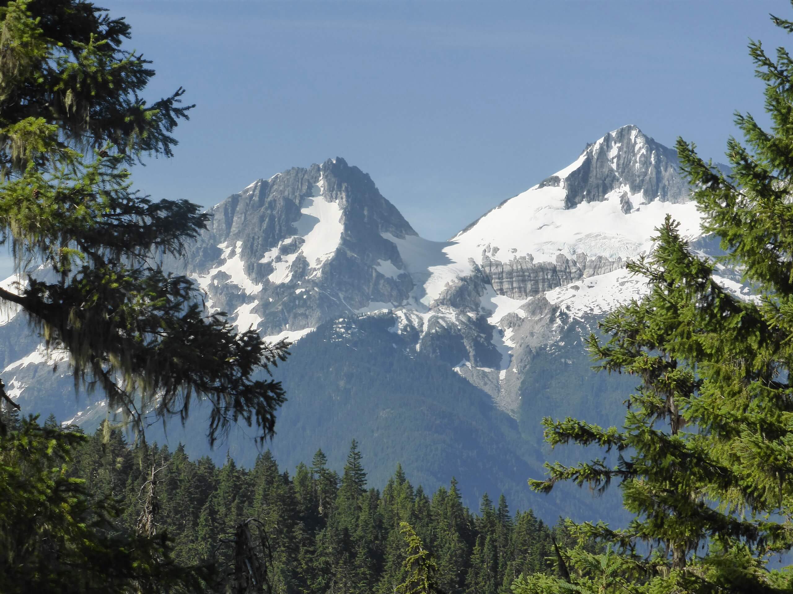
Fourth of July Pass via Thunder Creek
Difficulty Rating:
Fourth of July Pass via Thunder Creek is a moderate hike used by both day hikers and backpackers. It’s lightly trafficked and 9.3mi in length, making for a nice, quiet mid-distance trek. Some hikers don’t feel the views from the pass are necessarily worth the effort and some love them, but all love the super-quiet backcountry spots and the chance to get away from the crowds. Come try it for yourself and see.
This trail offers lots of tree coverage, making it a good choice for hot days.
Getting there
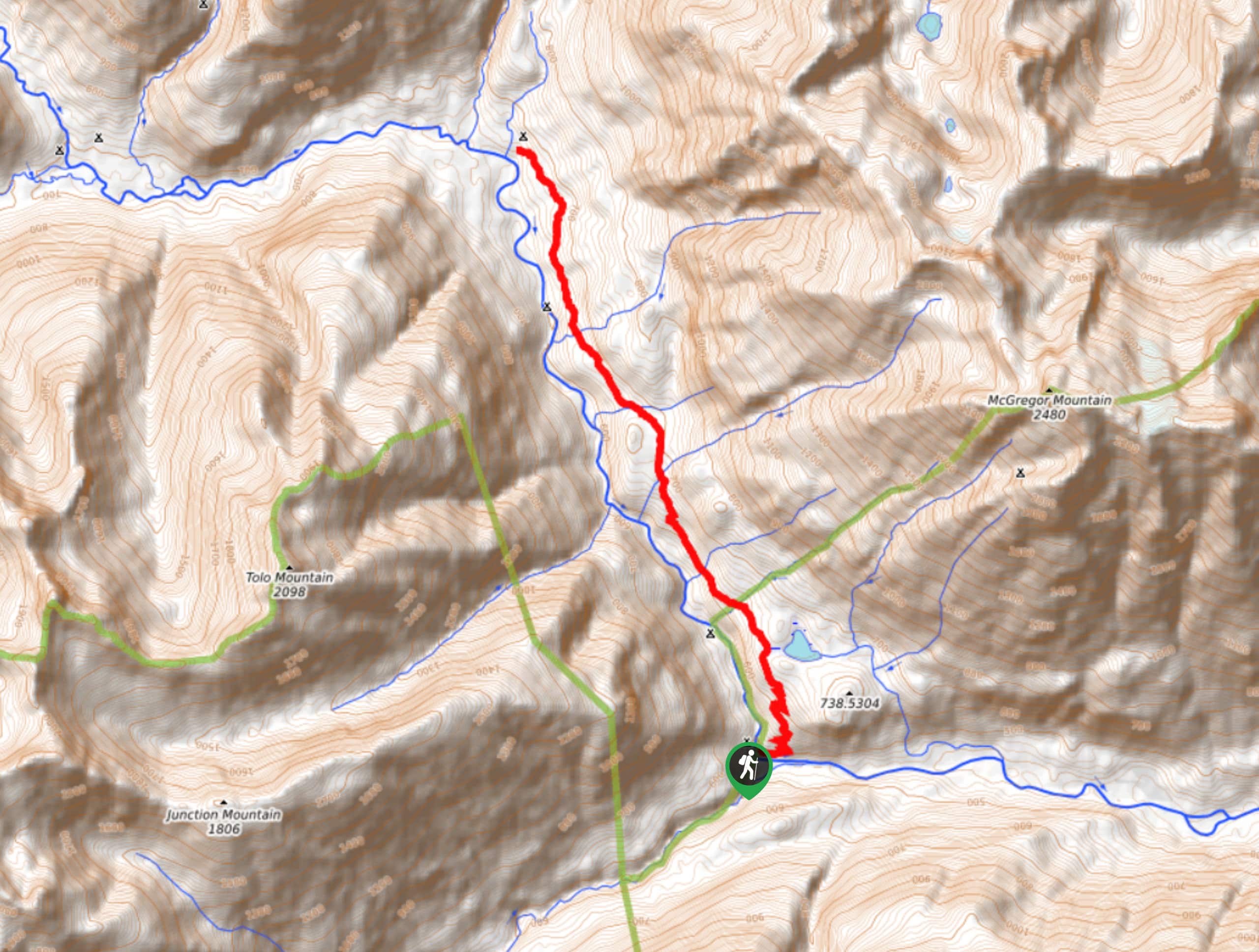
The trailhead for Fourth of July Pass via Thunder Creek is at the south end of Colonial Creek Campground.

About
| Backcountry Campground | Fourth of July Camp, Thunder Camp |
| When to do | July-October |
| Pets allowed | No |
| Family friendly | Yes |
| Route Signage | Average |
| Crowd Levels | Low |
| Route Type | Out and back |
Fourth of July Pass via Thunder Creek
Elevation Graph
Weather
Fourth of July Pass via Thunder Creek Hike Description
Fourth of July Pass is most often accessed by way of Thunder Creek. This hike is not too busy and it offers views of the surrounding mountains from under the trees. There are lovely camping spots and good places to enjoy your lunch on the trail.
This route occasionally suffers from downed trees, and although they’re periodically cleared, you may need to navigate around recent blowdown.
Begin from the road leading southeast of the campground. You’ll hike a mostly flat path along Thunder Creek for two miles. About a third of a mile past the bridge, go left onto the Fourth of July Pass Trail.
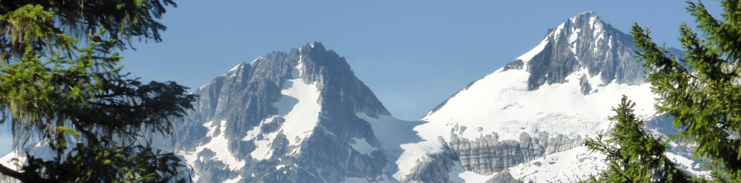
You’ll now begin to gain elevation more aggressively, climbing around 2000ft in about 2.5mi. The end of the climb sees you arrive at Fourth of July Camp. Look out over Colonial Peak, Snowfield Peak, and Neve Glacier. Take a moment to rest here before continuing on to the pass.
You’ll only need to hike another almost-mile to the pass at 3600ft and it’s a gradual trek to get there. Enjoy even better views here. Once you’re done, you’ll retrace your steps back to the trailhead on the same route you came up on.
Similar hikes to the Fourth of July Pass via Thunder Creek hike
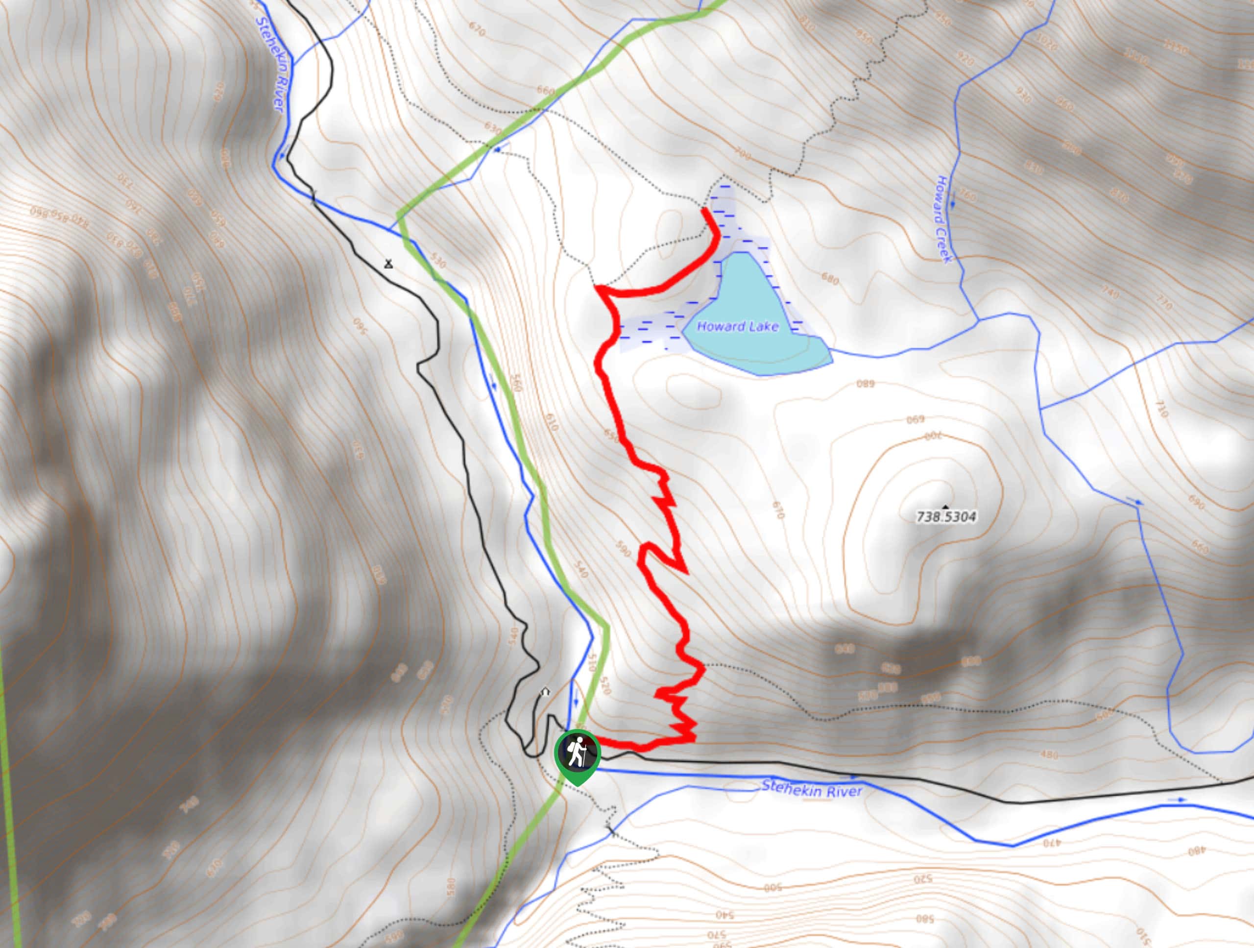
Howard Lake via PCT
Howard Lake via PCT is a pretty hike through the woods. It’s consistently uphill for its short ascent, but you’ll…
Bridge Creek Trail
Bridge Creek Trail is a 13.9mi route in North Cascades National Park that is considered hard. This is…
Old Wagon Trail
The Old Wagon Trail is a moderate trail that runs the Pacific Crest Trail. A hike on Old Wagon takes…
Comments