Desolation Peak Trail
View Photos
Desolation Peak Trail
Difficulty Rating:
Desolation Peak Trail is a hard hike that is accessed by boat rental or water taxi across Ross Lake. This hike packs in the elevation gain, but the views from the top will make it feel worthwhile. There is also a campsite just past the halfway mark of the ascent that you can use to stretch this adventure into a multi-day experience.
Poles are helpful for this hike.
Getting there
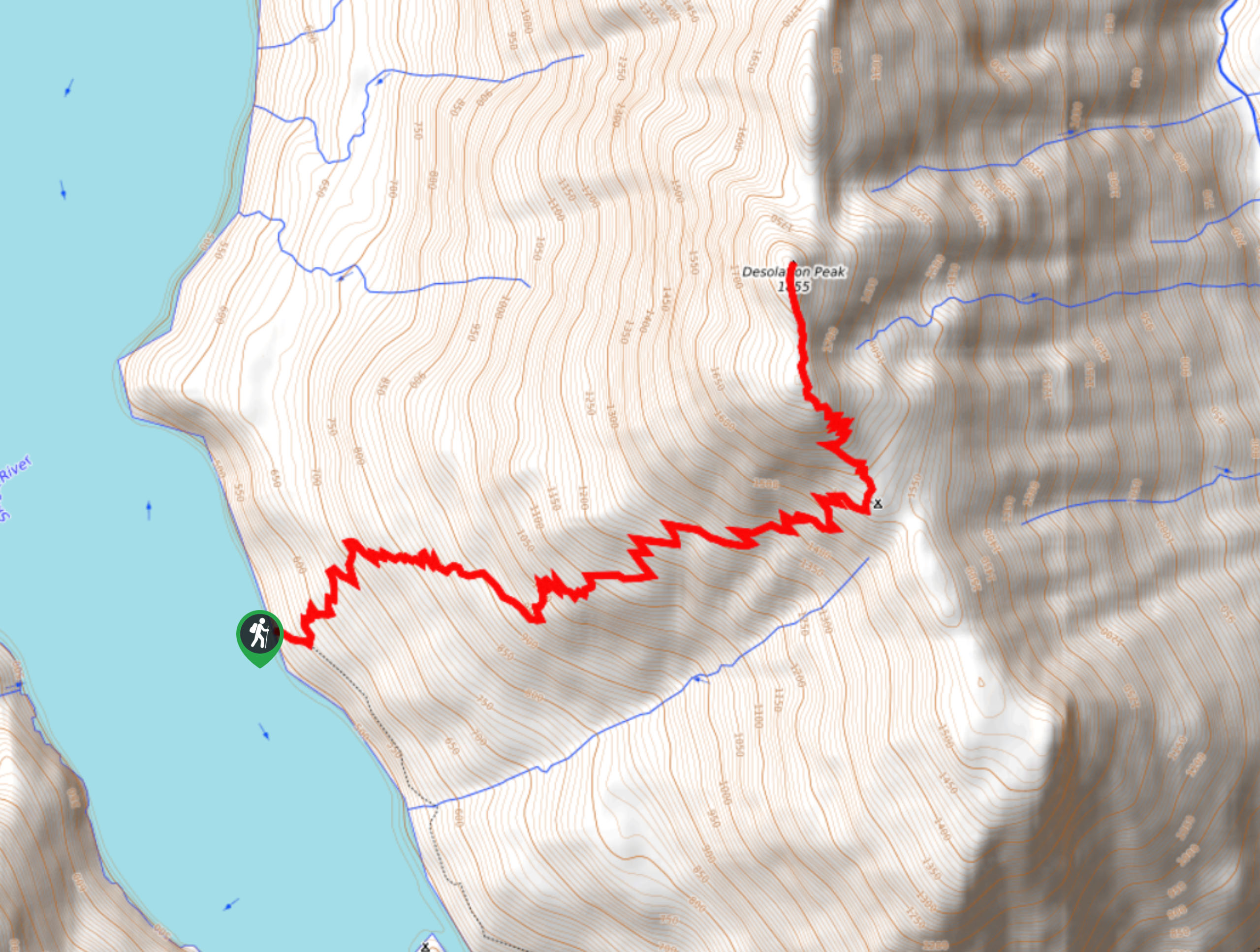
The trailhead for Desolation Peak Trail is on the eastern shore of Ross Lake north of Cat Island.

About
| Backcountry Campground | Desolation |
| When to do | May-September |
| Pets allowed | Yes - On Leash |
| Family friendly | No |
| Route Signage | Average |
| Crowd Levels | Low |
| Route Type | Out and back |
Desolation Peak Trail
Elevation Graph
Weather
Desolation Peak Trail Description
Desolation Peak is a challenging but rewarding hike, taking you up a steep but well-kept trail to a viewpoint over Ross Lake and the surrounding mountains. This hike is accessed by boat, and you can either rent a boat from Ross Lake Resort or take a water taxi to the trailhead.
The route is well-maintained but steep, so poles are recommended. Despite this being a dog-friendly trail, your water taxi or boat rental may not allow dogs, so check ahead of time.
Begin from the lakeshore trailhead, hiking up through switchbacks. While a short traverse breaks up the turns, it’s back to switchbacks as you approach the Desolation camp on your right. Go left here to make the final approach to the summit. You’ll have much less shade for the last quarter of the trail, so bring lots of water.
From the summit, admire the snow-capped peaks of the North Cascades and look up the lake all the way to Canada. Say hi to the ranger if he’s around, then pack up and retrace your steps to the shore.
Similar hikes to the Desolation Peak Trail hike
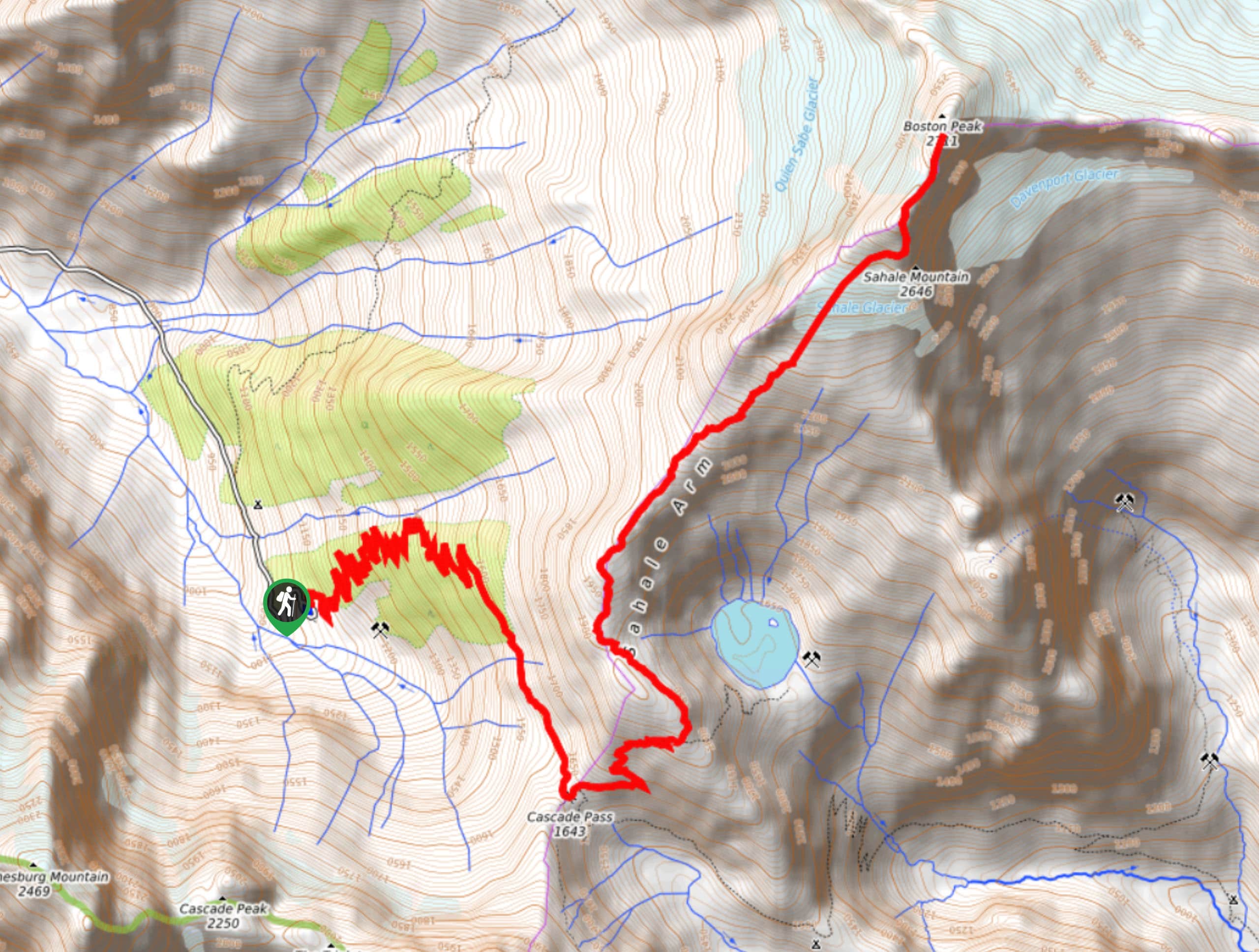
Sahale Arm Trail to Quien Sabe Glacier
Hike through one of the most jaw-dropping locations you can reach on foot in North Cascades National Park on the…
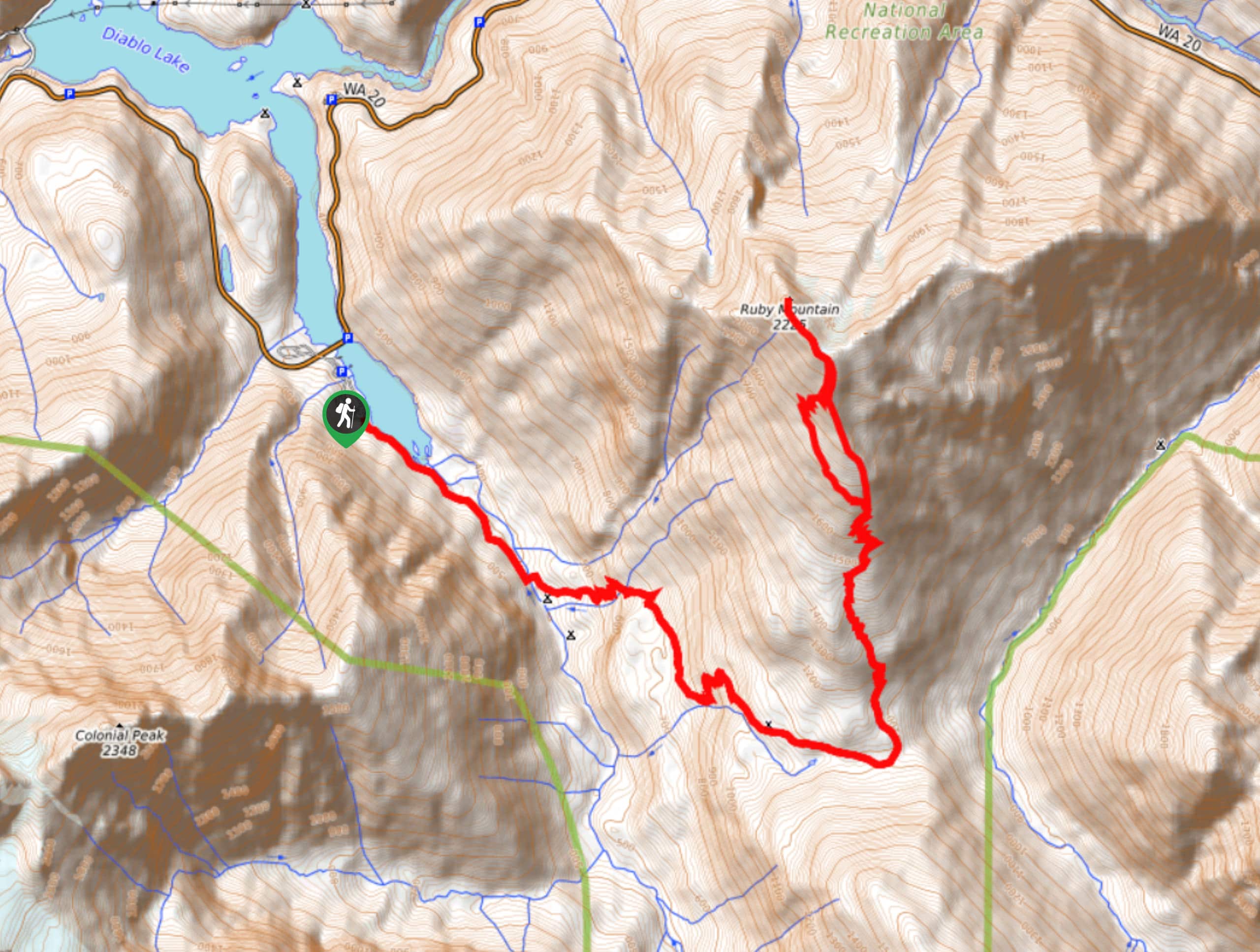
Ruby Mountain Summit via Fourth of July Pass and Thunder Creek
Ruby Mountain Summit via Fourth of July Pass and Thunder Creek is a hard hike used by both day hikers…
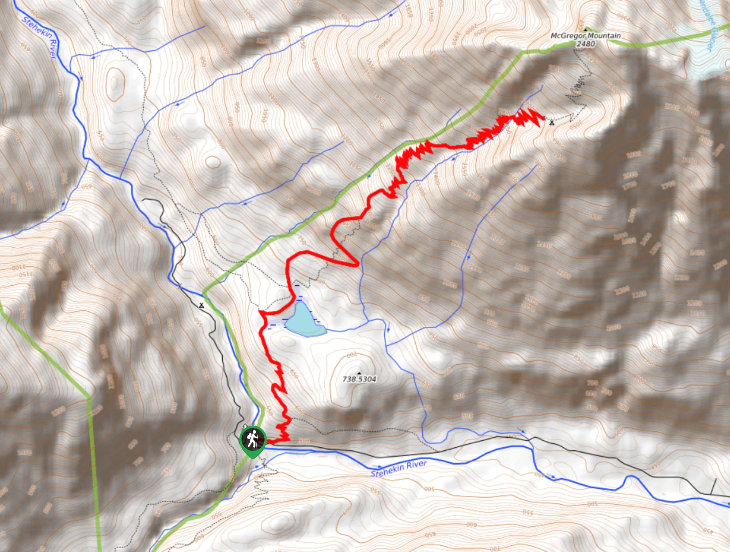
McGregor Mountain Trail
McGregor Mountain is a physically demanding trail with over 4265ft of elevation gain in North Cascades National Park.…
Comments