
Woodend Conservation Area Loop Hike
View Photos
Woodend Conservation Area Loop Hike
Difficulty Rating:
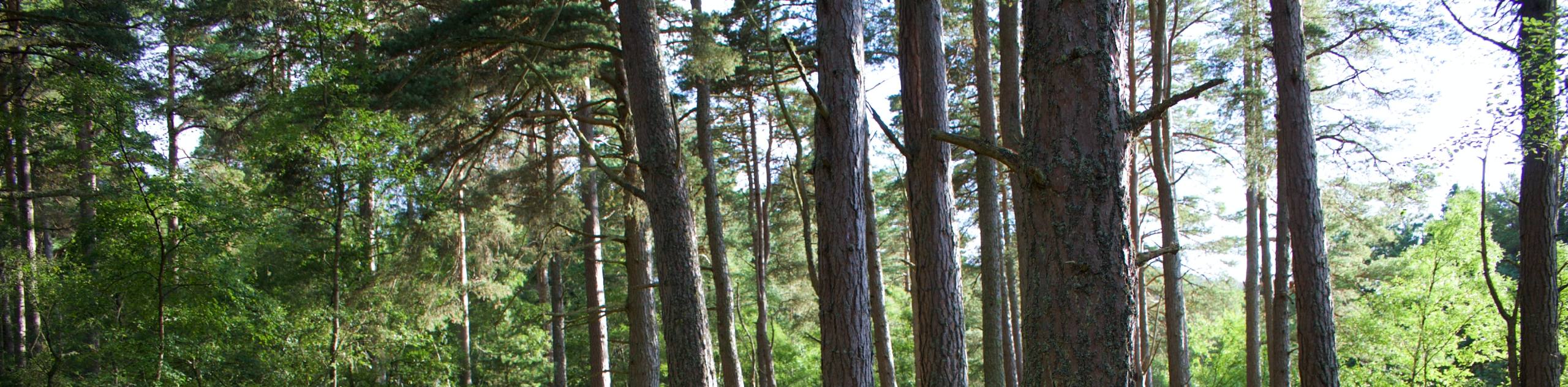
The Woodend Conservation Area Loop is a family-friendly hiking route in the Niagara region that will lead you through a lovely stretch of woodland terrain on a quick lollipop trail. While out on this hike, you will make your way through the tranquil atmosphere of the forest and traverse the rock strewn landscape of the Niagara Escarpment. Hiking this lovely forest trail is a great way to spend an afternoon escaping the city to reconnect with nature.
Getting there
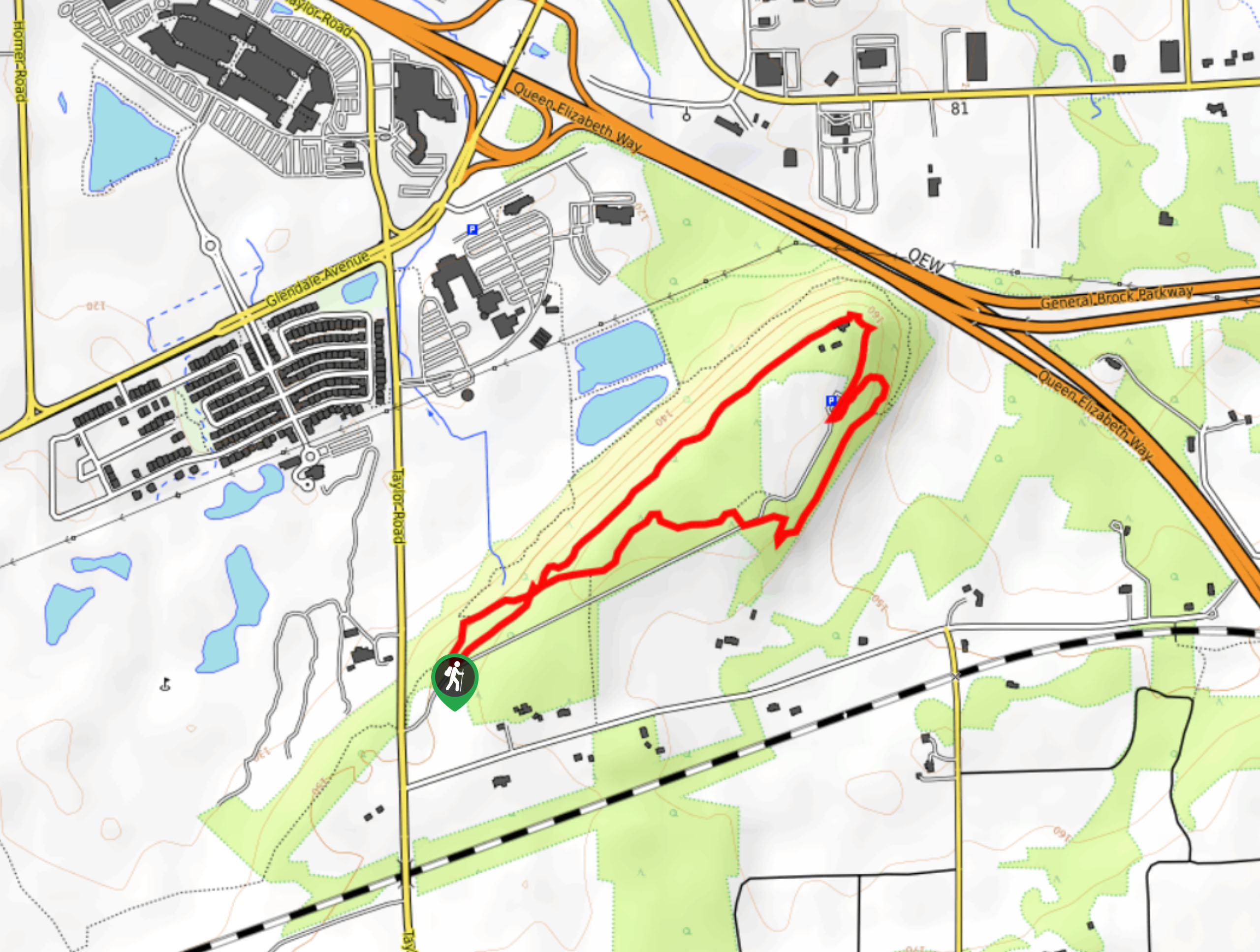
To reach the parking area for the Woodend Conservation Area Loop from Merritton, drive to the northeast on Glendale Avenue for 2.0mi and turn right onto Taylor Road. Continue on for 0.7mi and turn left to arrive at the trailhead.

About
| When to do | Year-Round |
| Backcountry Campsites | No |
| Pets allowed | Yes - On Leash |
| Family friendly | Yes |
| Route Signage | Average |
| Crowd Levels | Moderate |
| Route Type | Lollipop |
Woodend Conservation Area Loop Hike
Elevation Graph
Weather
Woodend Conservation Area Loop Hike Description
The Woodend Conservation Area Loop is a quick and relatively easy trail that is popular with beginner hikers and families in the St. Catharines/Niagara Falls area that are looking to get out and enjoy a bit of nature. Because of this, the trail can be a bit busy during peak times, especially during the height of summer. Be sure to arrive early to secure parking and enjoy the peace and quiet of this charming forest trail. Additionally, this route is set along a portion of the Niagara Escarpment, meaning that there will be some short sections of uphill climbing along sometimes rocky terrain. Wear proper hiking footwear if you are planning to hike this trail.
Setting out from the car park, follow the trail to the northeast as it enters into the thick cover of the forest. Enjoy the serene atmosphere of the woodland landscape, as you make your way slightly uphill to eventually reach the northeast corner of the trail. From here, the route will turn to the southwest and follow along the rocky edge of the escarpment. Continue straight along the path and enjoy the final views of mature trees and giant slabs of rock before exiting the forest on the return to the parking lot where you began the Woodend Conservation Area Loop.
Similar hikes to the Woodend Conservation Area Loop Hike hike
Black Walnut and Swayze Falls Loop
Hiking the Black Walnut and Swayze Falls Loop is a fantastic adventure near St. Catherines that will lead you through…
Niagara River Recreational Trail
Hiking the Niagara River Recreational Trail is a lengthy adventure in Niagara Falls that will take you through the city…
Scarlet Tanager to Hemlock Valley Hike
The Scarlet Tanager to Hemlock Valley Hike is a moderate length route near St. Catherines that will lead you through…
Comments