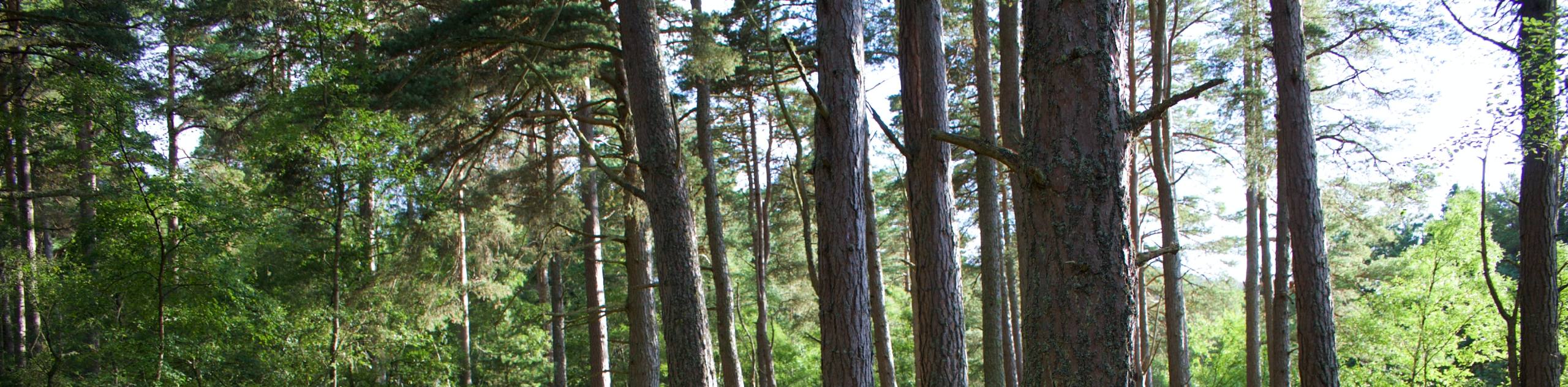
Niagara River Recreational Trail
View Photos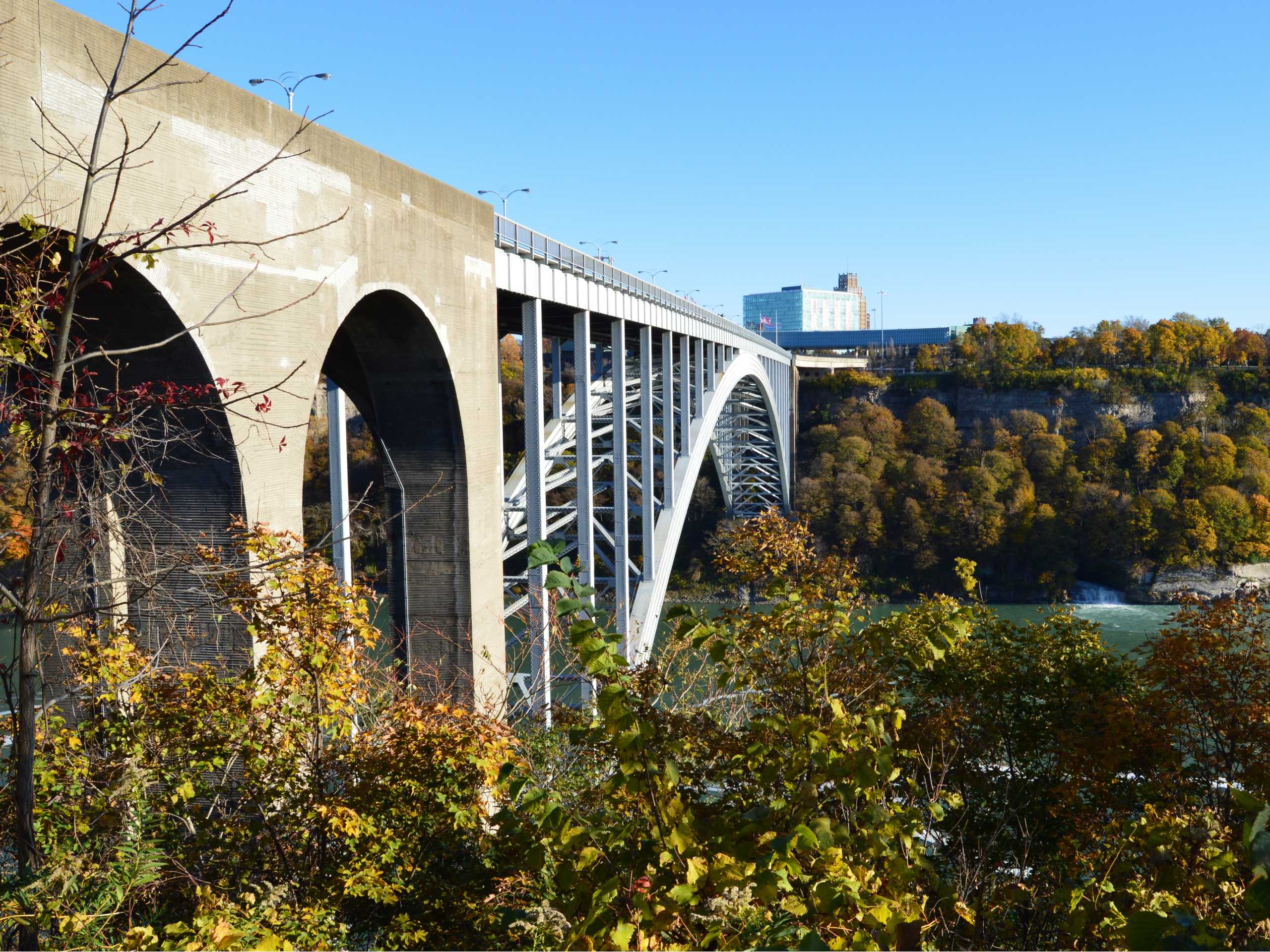
Niagara River Recreational Trail
Difficulty Rating:
Hiking the Niagara River Recreational Trail is a lengthy adventure in Niagara Falls that will take you through the city for some amazing views across the water. While out on the trail, you will head down to a viewpoint overlooking the iconic Horseshoe Falls before walking along the river’s edge to reach Queenston Heights Park. While long, this is a great trail for families looking to explore the beauty of Niagara Falls.
Getting there
To reach the trailhead for the Niagara River Recreational Trail from Queen Victoria Park, head south on Niagara Parkway for 0.9mi and turn right onto Fraser Hill. In 427ft, you will find the entrance to the parking area on the right.

About
| When to do | June-September |
| Backcountry Campsites | No |
| Pets allowed | Yes - On Leash |
| Family friendly | Yes |
| Route Signage | Average |
| Crowd Levels | Moderate |
| Route Type | Out and back |
Niagara River Recreational Trail
Elevation Graph
Weather
Niagara River Recreational Trail Description
The main downside to the Niagara River Recreational Trail is its overall length and sections of slightly steep terrain, although anyone not looking to hike the entire trail can certainly turn back at any time due to its configuration as an out-and-back route. Families travelling with strollers or anyone with a wheelchair may need assistance in the steeper portions of the route. That aside, the entire route is paved, making for a pleasant adventure along the length of the Niagara River.
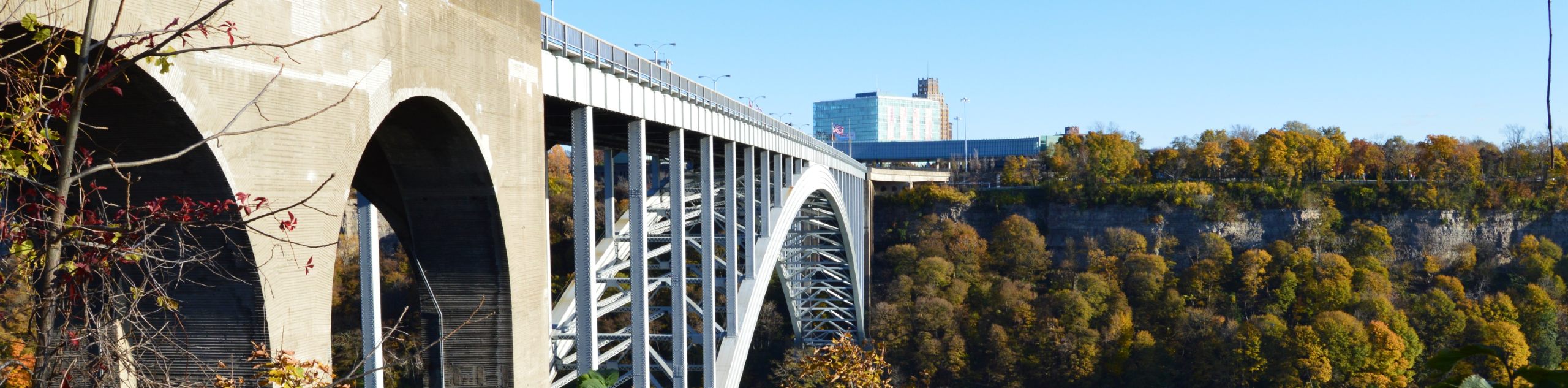
Setting out from the parking area, the trail will lead you towards the edge of the river to reach a viewpoint overlooking the stunning sight of both the Horseshoe Falls on the Canadian side of the border, as well as the American Falls on the United States side. From here, you will turn to the north and walk along the length of the Niagara River, cutting through the tourist-driven part of the city to skirt around the Whirlpool Golf Course and the Botanical Gardens. After reaching the terminus of the trail at Queenston Heights Park, take some time to explore the area and relax in the peaceful setting of the park. From here, you will turn back and retrace your steps along the trail to experience the breathtaking views of the Niagara River and both sets of waterfalls from the opposite perspective, eventually arriving back at the parking area having completed the lengthy Niagara River Recreational Trail.
Similar hikes to the Niagara River Recreational Trail hike
Woodend Conservation Area Loop Hike
The Woodend Conservation Area Loop is a family-friendly hiking route in the Niagara region that will lead you through a…
Black Walnut and Swayze Falls Loop
Hiking the Black Walnut and Swayze Falls Loop is a fantastic adventure near St. Catherines that will lead you through…
Scarlet Tanager to Hemlock Valley Hike
The Scarlet Tanager to Hemlock Valley Hike is a moderate length route near St. Catherines that will lead you through…
Comments