Lyndhurst Circular Walk
View Photos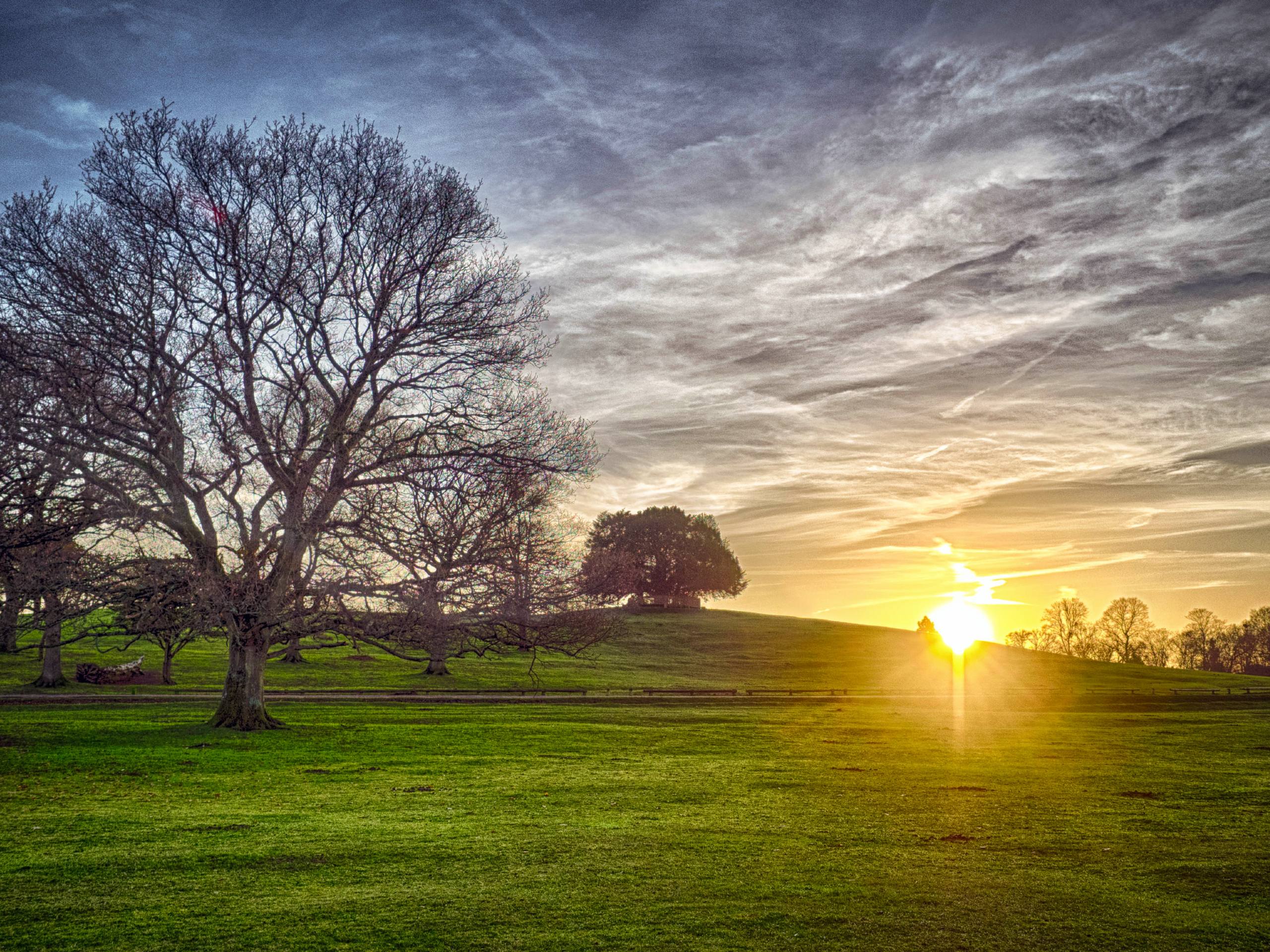
Lyndhurst Circular Walk
Difficulty Rating:
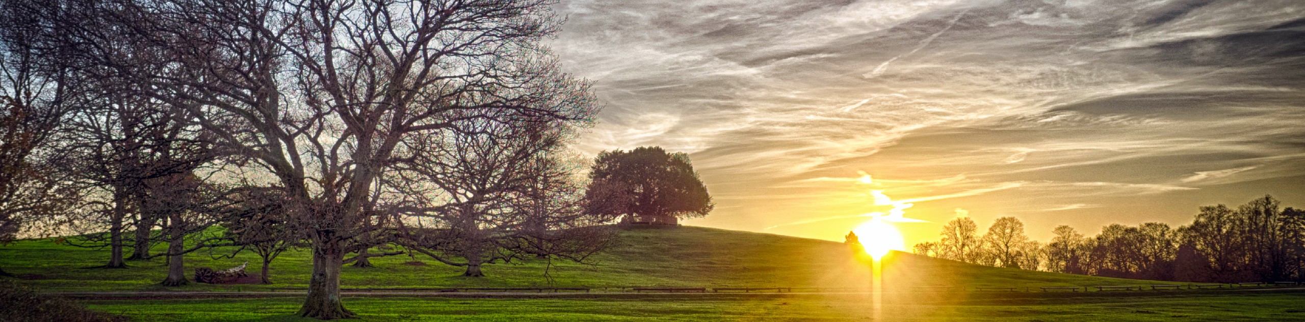
The Lyndhurst Circular Walk begins and ends at one of Lyndhurst’s most notable landmarks, Bolton’s Bench, a lovely knoll where legend has it a brave knight and a fearsome dragon perished during battle. From here the trail takes you through the grassy plains where ponies graze, along lovely footpaths in the woods, across rivers and past a golf course. Along the way you’ll get to enjoy some interesting sights and the great scenery the New Forest is renowned for.
Getting there
To get to the start of the Lyndhurst Circular Walk, head south from Southampton on the A35 straight into Lyndhurst and turn left onto Beaulieu Road (B3056) where you’ll see the Bolton’s Bench parking areas on both sides of the road.

About
| When to do | Year-Round |
| Backcountry Campsites | No |
| Pets allowed | Yes - On Leash |
| Family friendly | Older Children only |
| Route Signage | Poor |
| Crowd Levels | Low |
| Route Type | Circuit |
Lyndhurst Circular Walk
Elevation Graph
Weather
Lyndhurst Circular Walk Description
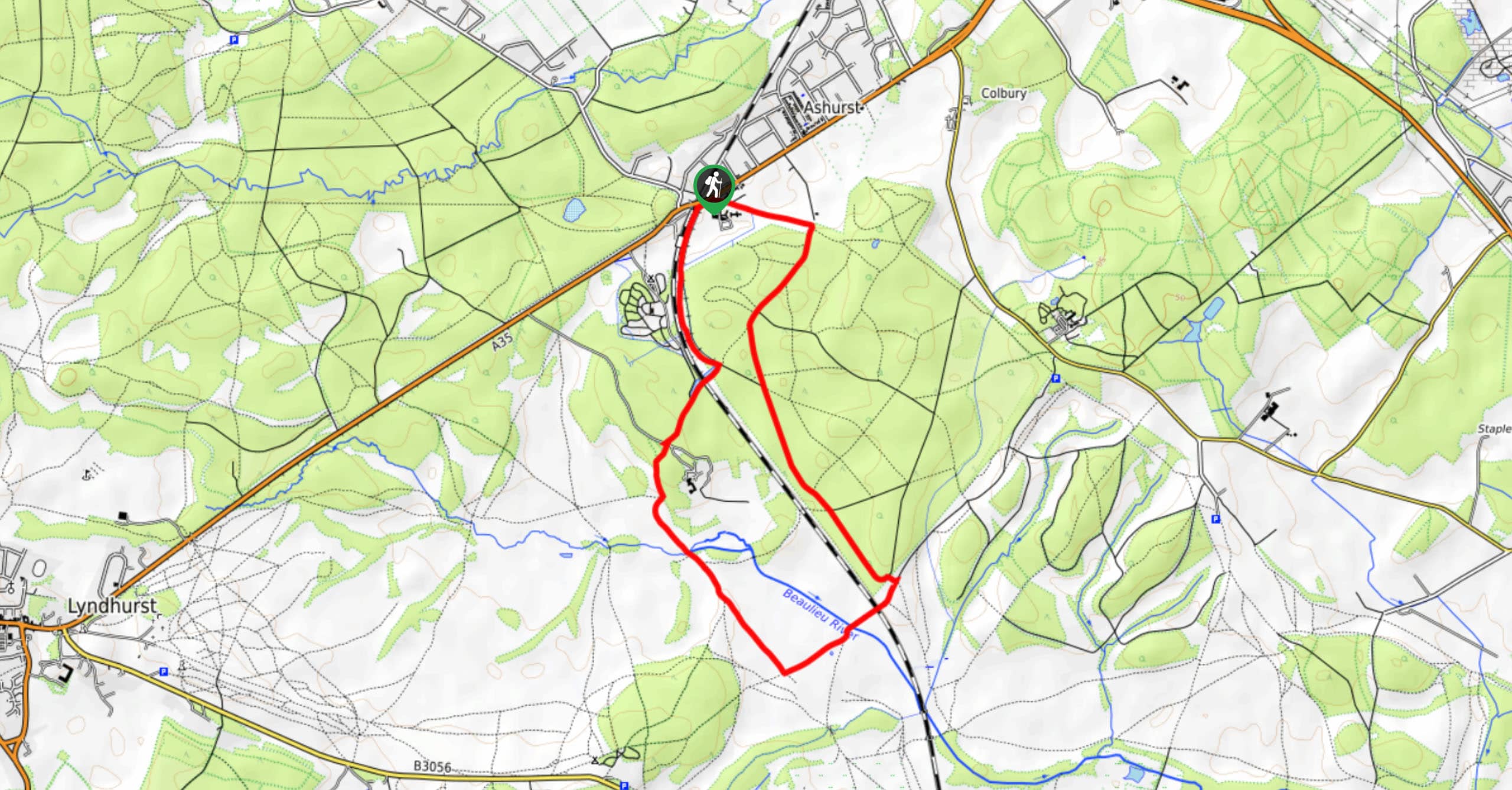
The Lyndhurst Circular Walk starts on the edge of town. From Bolton’s Bench, you’ll see the footpath below on your right, which runs mostly parallel to Beaulieu Road. Follow this footpath through the fields, and once you pass the Matley Woods Campsite on your right the trail takes you into a section of woods, after which you take a left turn on trail.
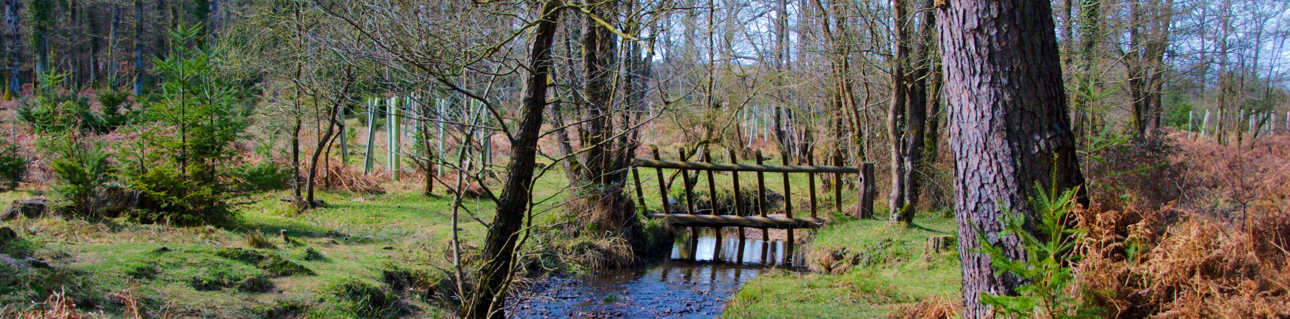
Soon you’ll cross the Beaulieu River and continue straight until you hit a paved road (which leads to the Ashurst Lodge on the right). Once you reach the paved road, turn left and follow it until you reach the A35. Be careful when crossing the highway. The Lyndhurst Circular Trail then continues on the other side of the road, and you’ll see the Busketts Inclosure on your right. From here you go left and continue on a straight path through Busketts Lawn Inclosure and left into the Rushpole Woods. Then follow a smaller path into the Yew Tree Hill woodland. Soon you’ll hit up the golf course, go through an underpass, walk past a cemetery, and reach back to Lyndhurst where you began.
Insider Hints
After your walk, make sure to visit Lyndhurst for an afternoon tea. Peggy May's Cafe is a great place for tea and scones and it also makes some of the best paninis in the region.
Similar hikes to the Lyndhurst Circular Walk hike
Ashurst to Deerleap Walk
The Ashurst to Deerleap Walk makes for a fun family outing due to the gentle elevation gain and lovely moorland…
Bolderwood to Knightwood Oak Walk
The Bolderwood to Knightwood Oak Walk makes for a great option if you’re craving moody forest scenery with the potential…
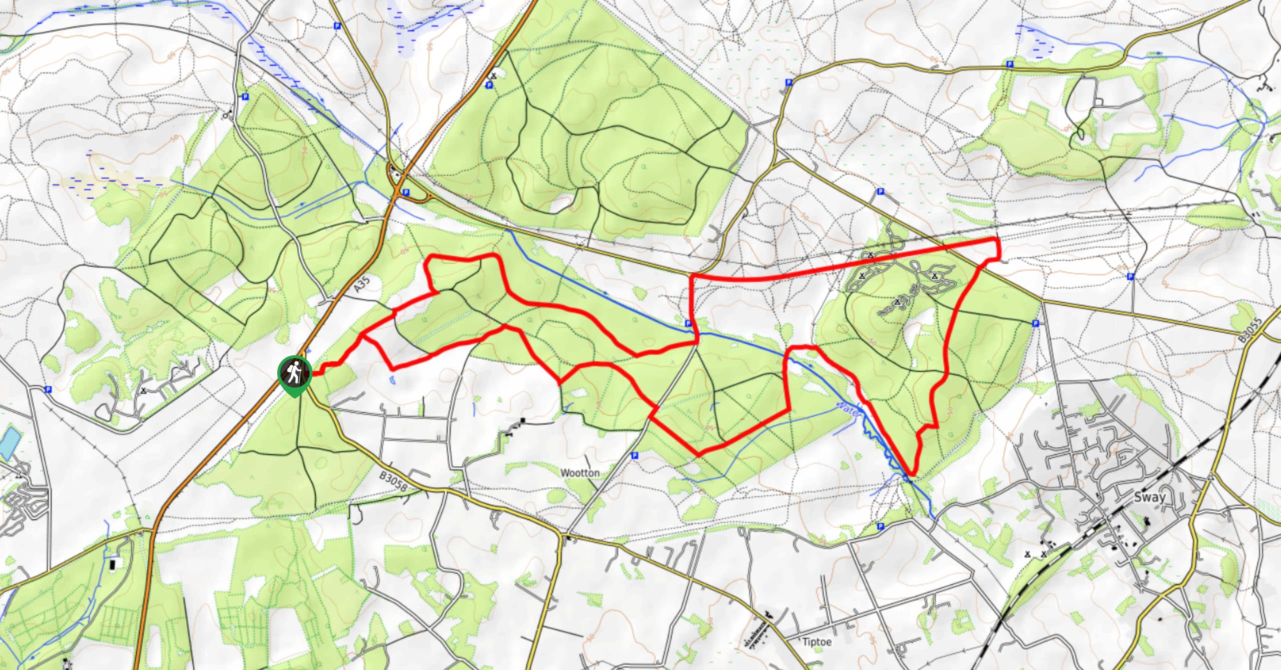
Burley and Sway Walk
The Burley and Sway Walk meanders along varied terrain, ranging from gravel and grass tracks, stream crossings, and muddy conditions.…
Comments