Bolderwood Circular Walk
View Photos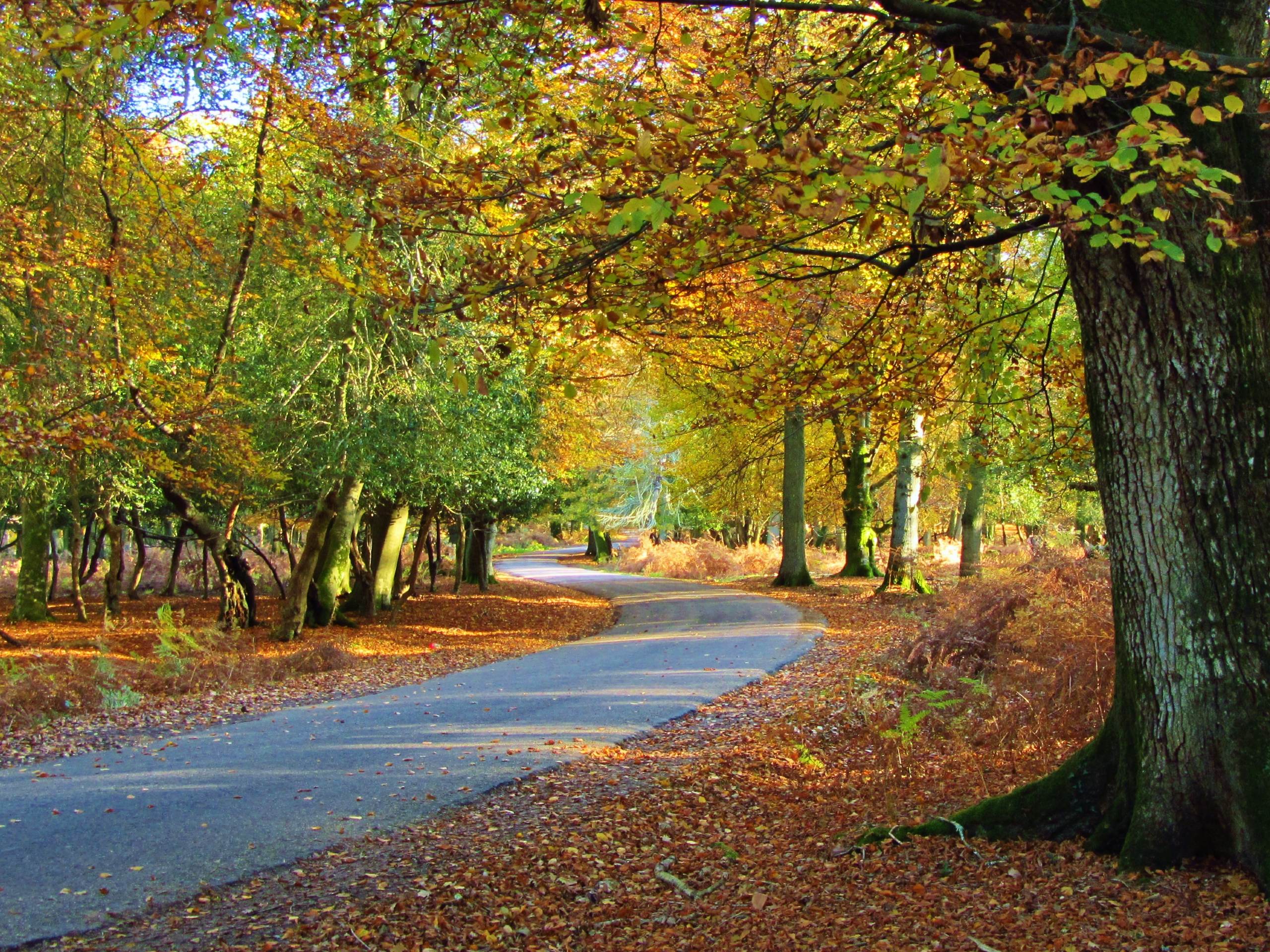
Bolderwood Circular Walk
Difficulty Rating:
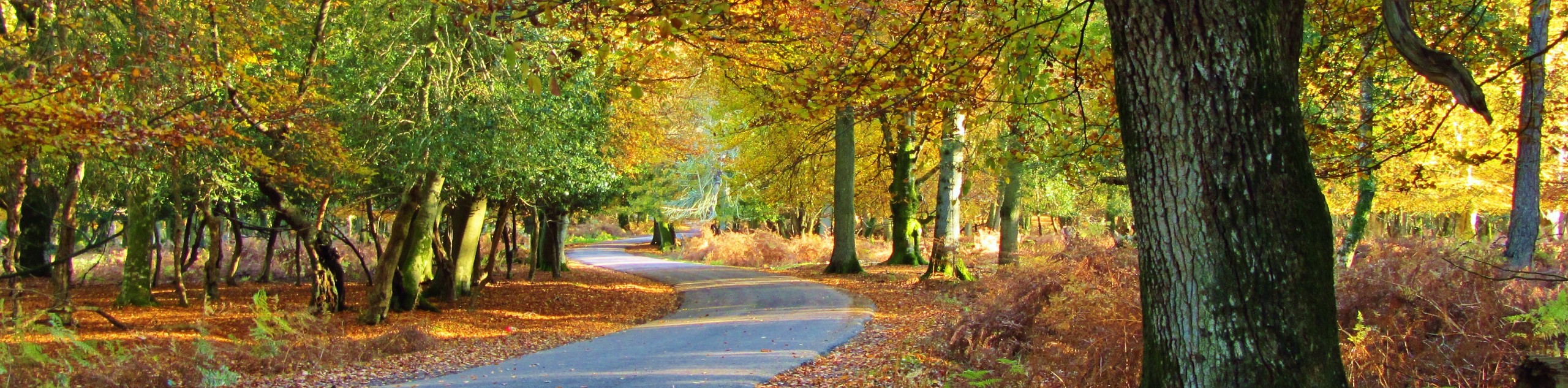
There are few New Forest routes as charming as the Bolderwood Circular Walk. With a variety of well-signed paths that lead through an impressive stretch of forest, it’s the perfect outing for outdoor lovers of all ages. Enjoy a stroll through the beech, oak, and sweet chestnut trees, crossing over rivers and exploring the woods. Don’t miss the Bolderwood Deer Sanctuary, where whole herds of fallow deer mingle and wait for feedings from the local keeper! This is a very accessible walk that everyone can enjoy
Getting there
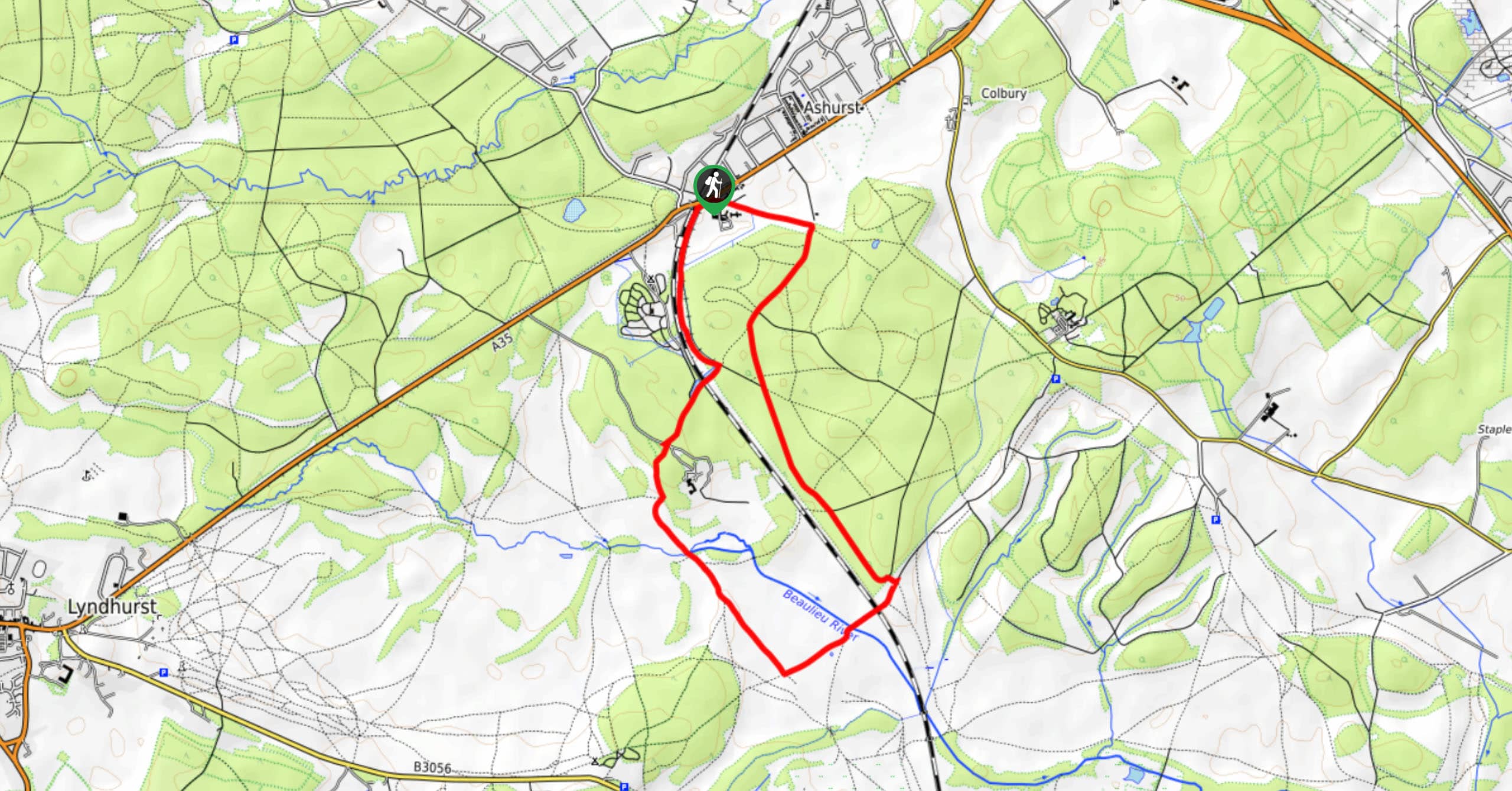
To get to the Bolderwood Circular Walk, head for the heart of New Forest National Park. If driving west from Lyndhurst, take the A35 southwest, then turn right onto Bolderwood Arboretum Memorial Drive. Follow this until you see the car park on your right. Regardless of your approach, keying the “Bolderwood Deer Sanctuary” into your GPS should get you there.

About
| When to do | Year-round |
| Backcountry Campsites | No |
| Pets allowed | Yes - On Leash |
| Family friendly | Yes |
| Route Signage | Good |
| Crowd Levels | High |
| Route Type | Circuit |
Bolderwood Circular Walk
Elevation Graph
Weather
Bolderwood Circular Walk Description
This circular walk through the Bolderwood Grounds is accessible, easy to navigate, and pleasant for all ages. With the many fallow deer that gather for feedings in the summer months, it’s imperative that all dogs be kept on leads and closely supervised.
From the car park, cross the road and head west into the Bolderwood Grounds. There are plenty of information signs which list the three waymarked trails available for visitors. The Radnor trail, longest of the three, is the one detailed here – follow the red markers when in doubt. You can stop at the Deer Sanctuary right away. From April through September, the Forestry Commission keeper will put out food for the deer, who are often over fifty in number! A viewing platform provides the perfect vantage point to gaze upon these beloved local animals.
Leaving the sanctuary, stay to the right along a footpath which bends to the right as it leads you through the woods. This section has a short but steep descent; if you have mobility concerns, we recommend taking a left out of the sanctuary instead, with a right then another left bringing you back to the route on this description.
A sharp left follows roughly 656ft from the sanctuary, which brings you to a junction. Turn right, and keep right at the next junction. The path brings you out to a forest road. Turn right and follow the road for 984ft. It ends at a track, which you should turn left onto. This crosses the Bratley Water and runs south for a short while – this is the lowest elevation on your walk.
About 656ft after crossing the river for the first time, you’ll spot a footpath heading off to your left. Turn and follow this over the river once more. Stay right at the junction, then left onto the forest road. The following footpath on your right is the one to take, curving in a northeast direction. Left at the junction, then your first right, and you’re just about back at the sanctuary. Take your next left to approach the sanctuary (maybe stopping for a second viewing of the deer), then right to exit and cross the road back to the car park.
Insider Hints
On the last section of your return towards the sanctuary, keep an eye out for the Radnor Stone. This is a memorial to the Earl of Radnor, who chaired the Forestry Commission from 1952 to 1963.
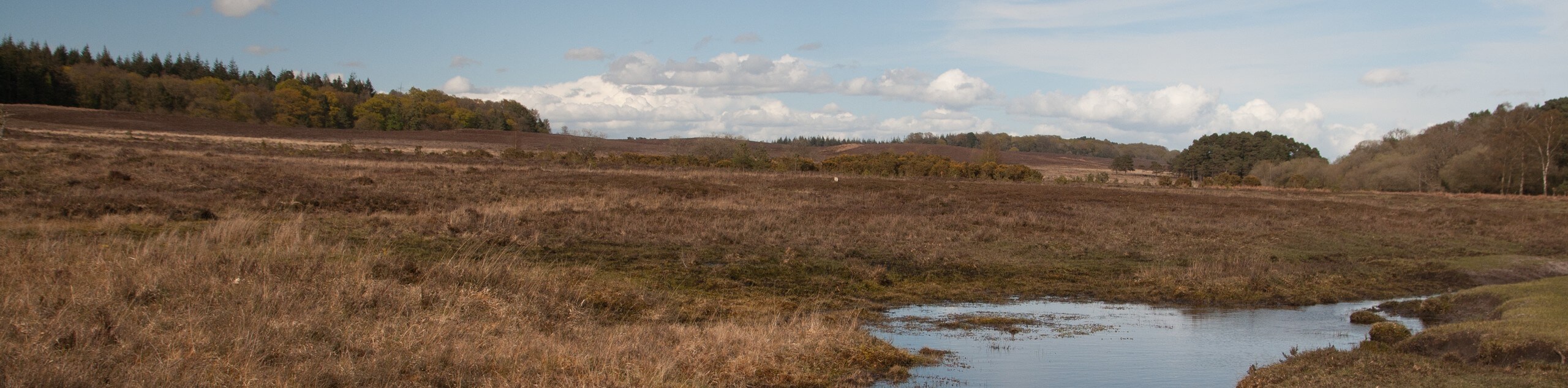
There are plenty of lovely spots to stop for a picnic lunch on this walk. One is on the banks of the Bratley Water, which flows near the path on the western end of the route.
Parking is free, but use of the donation box is encouraged to keep the area clean and ecologically healthy!
Similar hikes to the Bolderwood Circular Walk hike
Ashurst to Deerleap Walk
The Ashurst to Deerleap Walk makes for a fun family outing due to the gentle elevation gain and lovely moorland…
Linwood Bottom to Appleslade Inclosure Walk
Revel in stunning scenery without too much physical exertion on the Linwood Bottom to Appleslade Inclosure Walk, which travels through…
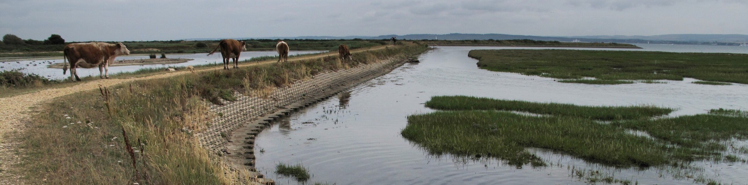
Lymington to Keyhaven Walk
The Lymington to Keyhaven Walk is a fantastic adventure option if you’re craving coastal views, a level path, and other…
Comments