Brockenhurst Village Walk
View Photos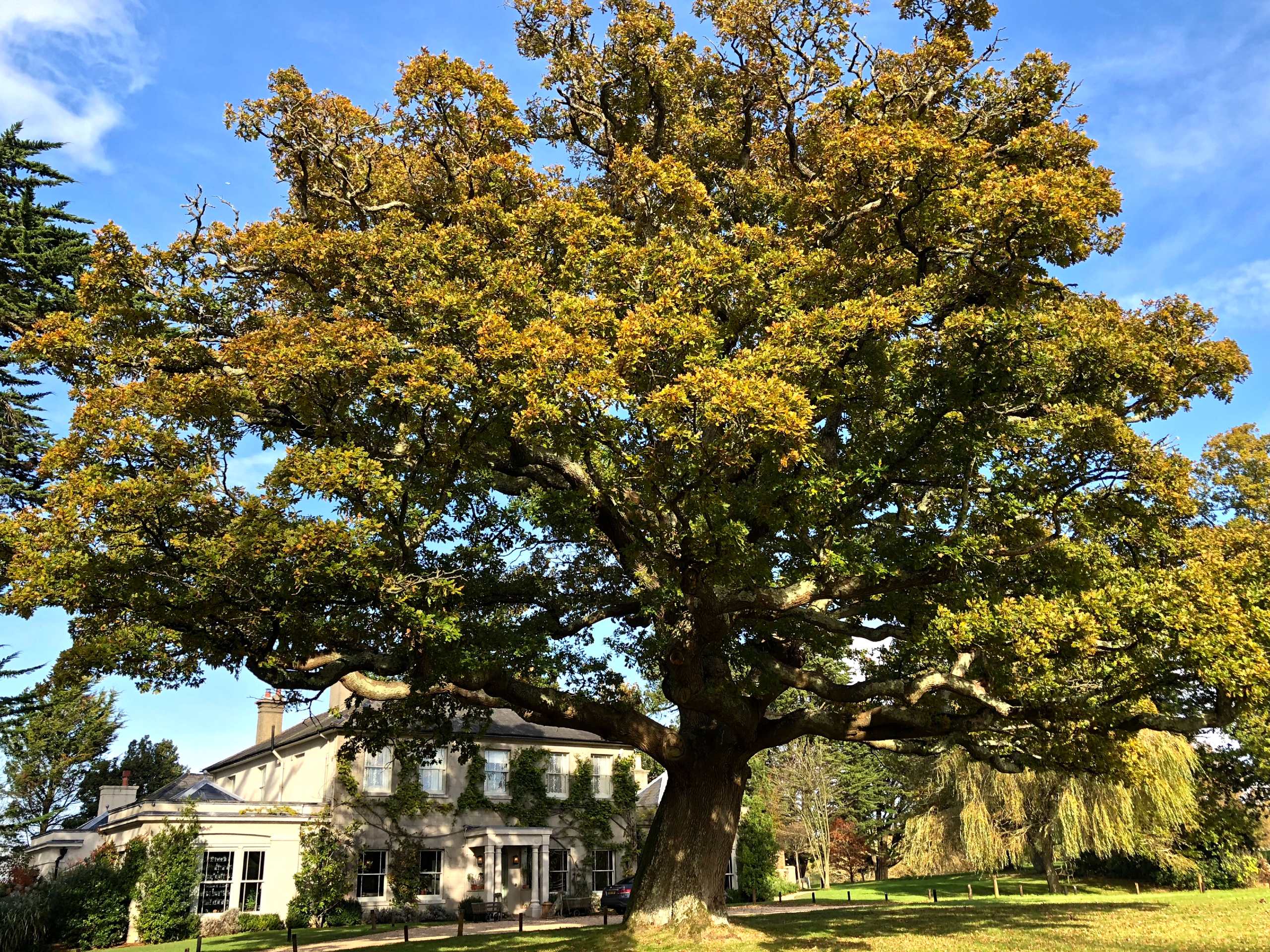
Brockenhurst Village Walk
Difficulty Rating:
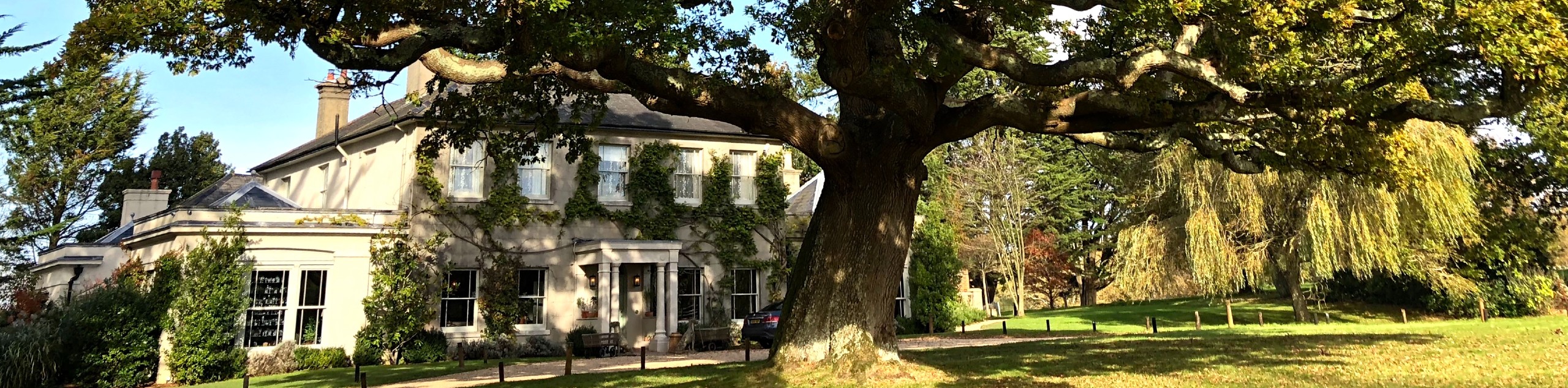
Located in the heart of the New Forest, Brockenhurst is blessed with lots of natural beauty and scenic spots, including wide open grassy plains where ponies, pigs and donkeys nibble and graze. Follow the circular Brockenhurst Village Walk route to explore this charming town and head off on paths along the rivers, bridges, water splashes and woodlands that surround it. The Brockenhurst Village Walk is the perfect day trip that combines a foray into the quaint village of Brockenhurst and the famed landscapes of the New Forest.
Getting there
To get to the Brockenhurst Village Walk, from Southampton head south on the Totton Bypass to take the A35 south towards Lyndhurst and then continue on the A337 to Brockenhurst. You can try to park at the Brookley Road Car Park though parking in the downtown area can be a challenge on the weekends. If parking is difficult in town, the trail can also be accessed from the Ober Corner Car Park or the Beechern Wood Car Park.

About
| When to do | Year-round |
| Backcountry Campsites | No |
| Pets allowed | Yes - On Leash |
| Family friendly | Yes |
| Route Signage | Average |
| Crowd Levels | Moderate |
| Route Type | Circuit |
Brockenhurst Village Walk
Elevation Graph
Weather
Brockenhurst Village Walk Description
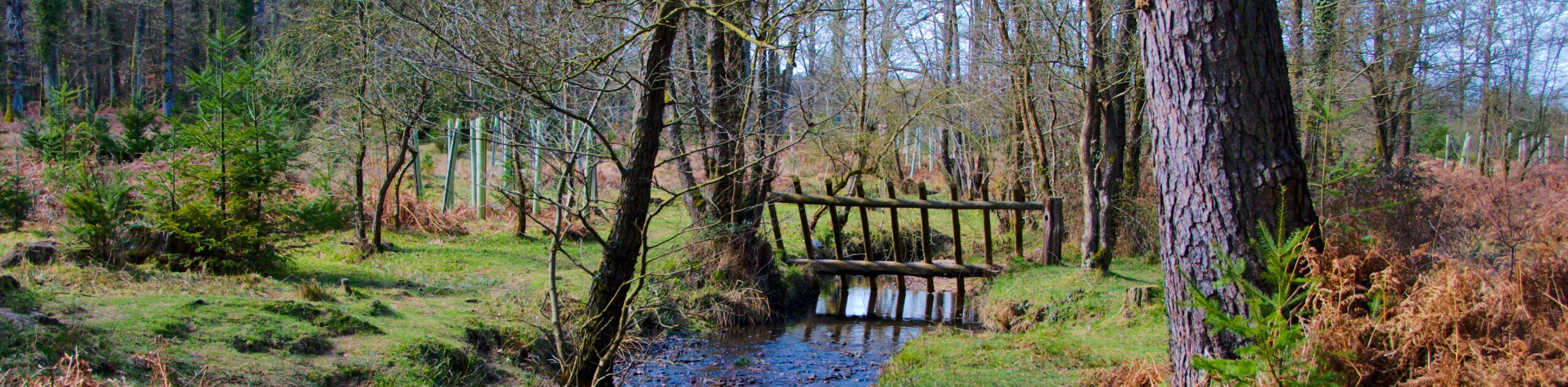
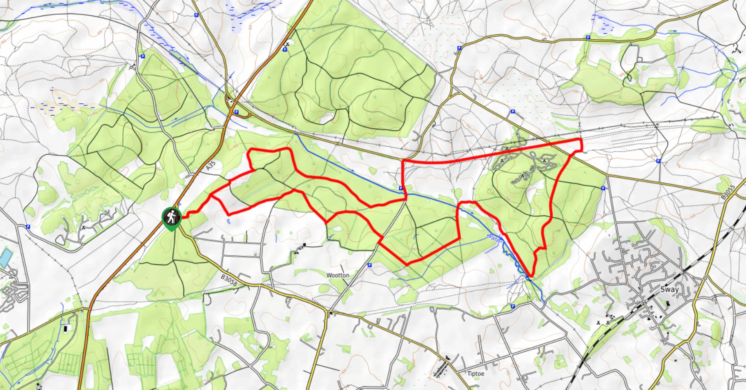
The Brockenhurst Village Walk is a circular route that takes you through the downtown area of Brockenhurst and onto gravel paths through grassy plains and woodlands. Starting from Brookley Road, you’ll cross the watersplash via the footbridge and turn right on to Rhinefield Road. When you see St. Anne’s Church on your right, follow the gravel path that crosses Meerut Road and the wide-open grass lawn where it’s common to see cattle, ponies and pigs grazing.
When you reach the forest, take the path on your right and follow this to waymarker post 264. Soon you’ll reach Bolderford Bridge which crosses the Lymington River. From the bridge, you backtrack to the grassy plain and keep following the trail until you reach Ober Corner and the car park.
Shortly after the car park, you turn right onto a small path that crosses the Ober Water river and the Aldridge Hill cottage. After this, you turn left onto a small path into the woods with a small cast-iron tombstone, a Victorian boundary marker. You’ll cross a bridge over the river and then take another left, which leads you towards Beachern Woods. When you reach Rhinefield Road, follow N Weirs Road south, which goes all the way around the edge of the village and connects to Burley Road. Follow Burley Road back into town to end the route.
Similar hikes to the Brockenhurst Village Walk hike
Ashurst to Deerleap Walk
The Ashurst to Deerleap Walk makes for a fun family outing due to the gentle elevation gain and lovely moorland…
Bolderwood to Knightwood Oak Walk
The Bolderwood to Knightwood Oak Walk makes for a great option if you’re craving moody forest scenery with the potential…
Burley and Sway Walk
The Burley and Sway Walk meanders along varied terrain, ranging from gravel and grass tracks, stream crossings, and muddy conditions.…
Comments