
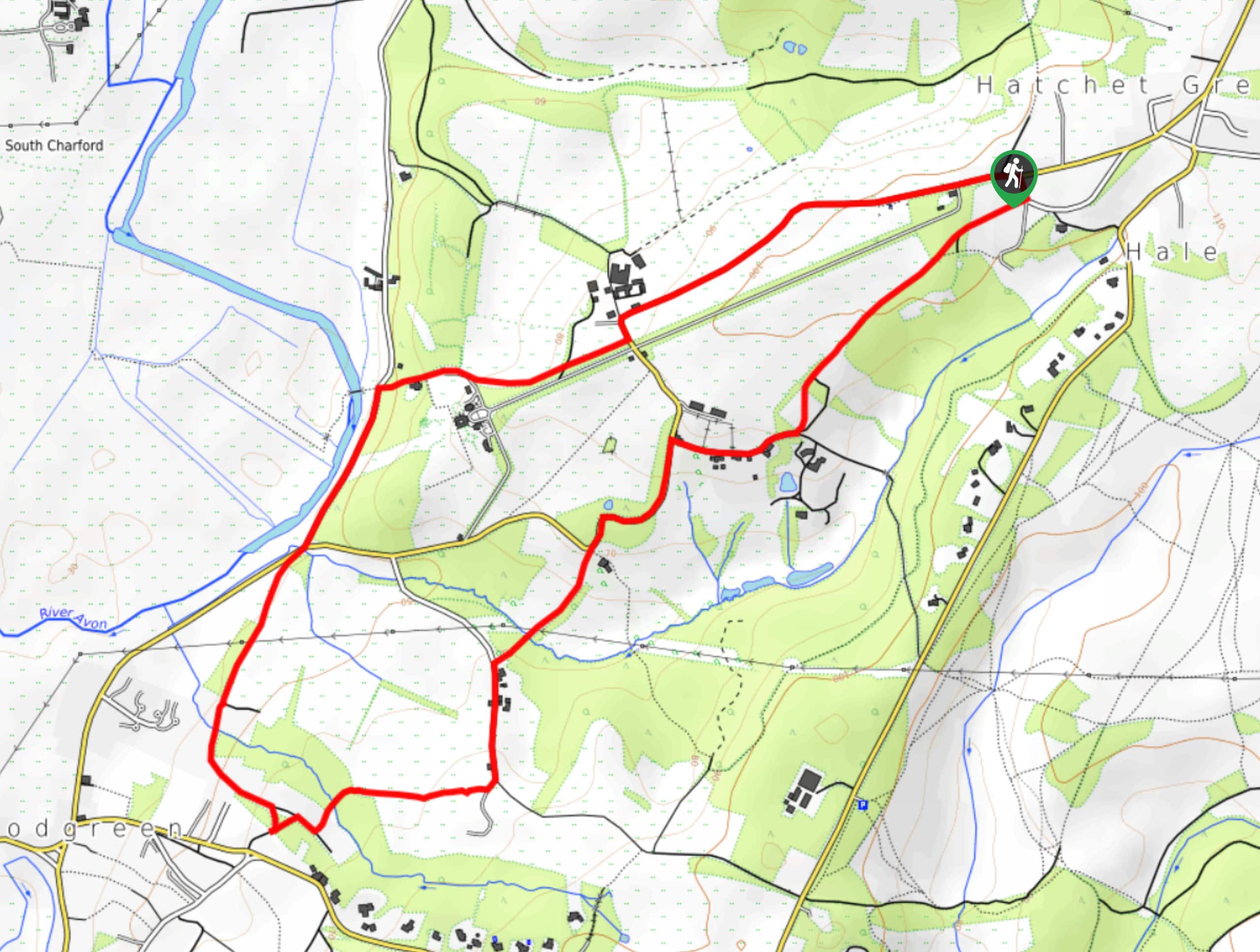
Hale and Woodgreen Circular Walk
View Photos
Hale and Woodgreen Circular Walk
Difficulty Rating:
Explore a range of views on the Hale and Woodgreen Circular Walk, including cozy villages, mistletoes, white violets, roaming cattle, and river Avon. The walk mostly follows bridleways but starts with a kilometre of road walking, so take care along this section.
Getting there
To get to the start of the Hale and Woodgreen Circular Walk, head to Hale, and look for parking along Hale Lane, close to Hale Primary School.

About
| When to do | Year-round |
| Backcountry Campsites | No |
| Pets allowed | Yes - On Leash |
| Family friendly | Yes |
| Route Signage | Average |
| Crowd Levels | Moderate |
| Route Type | Circuit |
Hale and Woodgreen Circular Walk
Elevation Graph
Weather
Hale and Woodgreen Circular Walk Description
Experience a combination of lovely scenery on the 3.6mi Hale and Woodgreen Circular Walk in the New Forest. Setting out from your car, you’ll meander through Hatchet Green, a charming area with cottages harking to sometime in the past. After, you’ll head west towards Hale Park. Look for roaming cattle, mistletoe, and white violets en route! Next, you’ll follow Moot Lane on the other side of river Avon before reaching Woodgreen. This is another excellent village worth exploring! Continue making your way around the loop until you end up back at your car.
Similar hikes to the Hale and Woodgreen Circular Walk hike
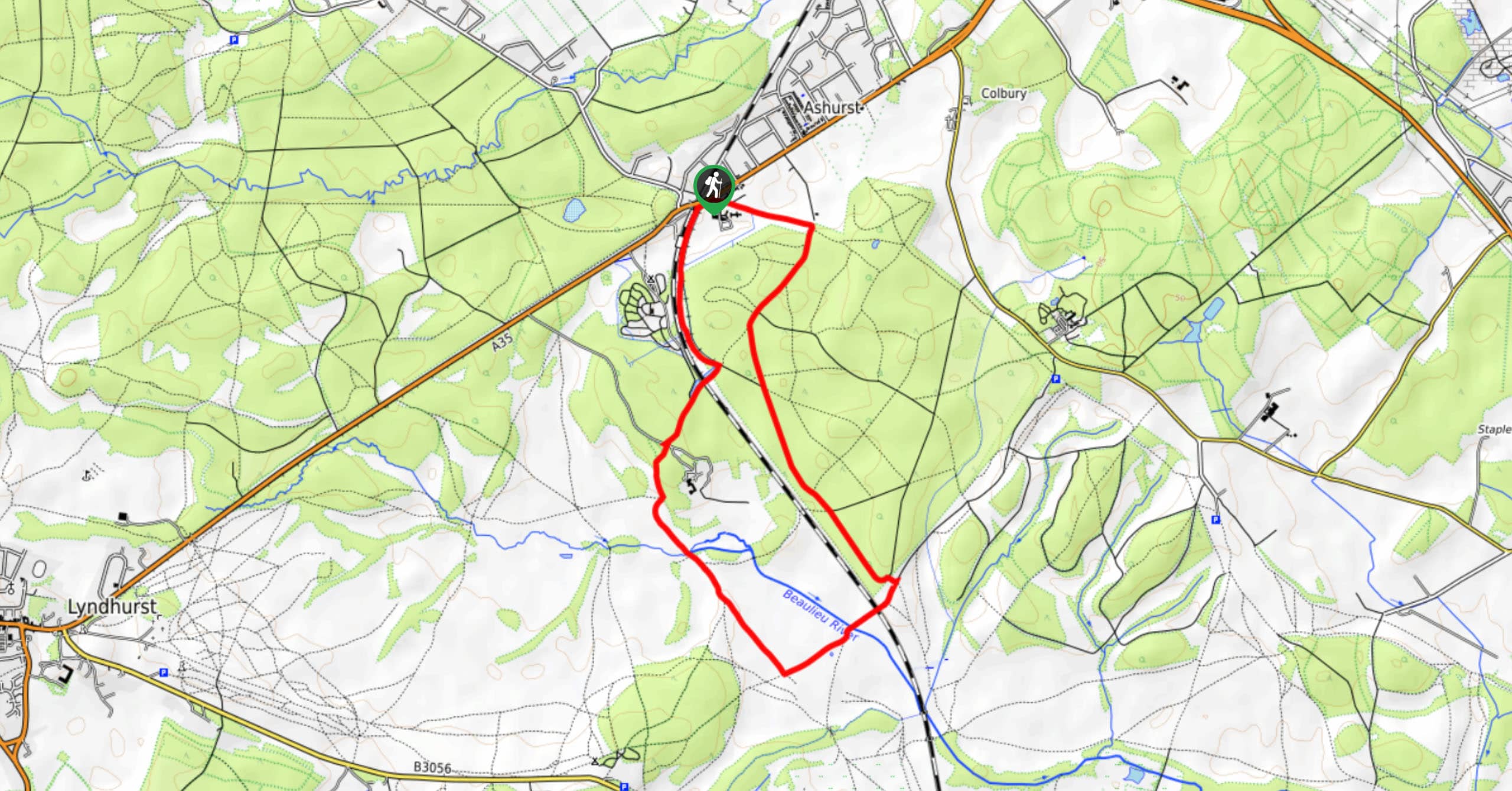
Ashurst to Deerleap Walk
The Ashurst to Deerleap Walk makes for a fun family outing due to the gentle elevation gain and lovely moorland…
Bolderwood to Knightwood Oak Walk
The Bolderwood to Knightwood Oak Walk makes for a great option if you’re craving moody forest scenery with the potential…
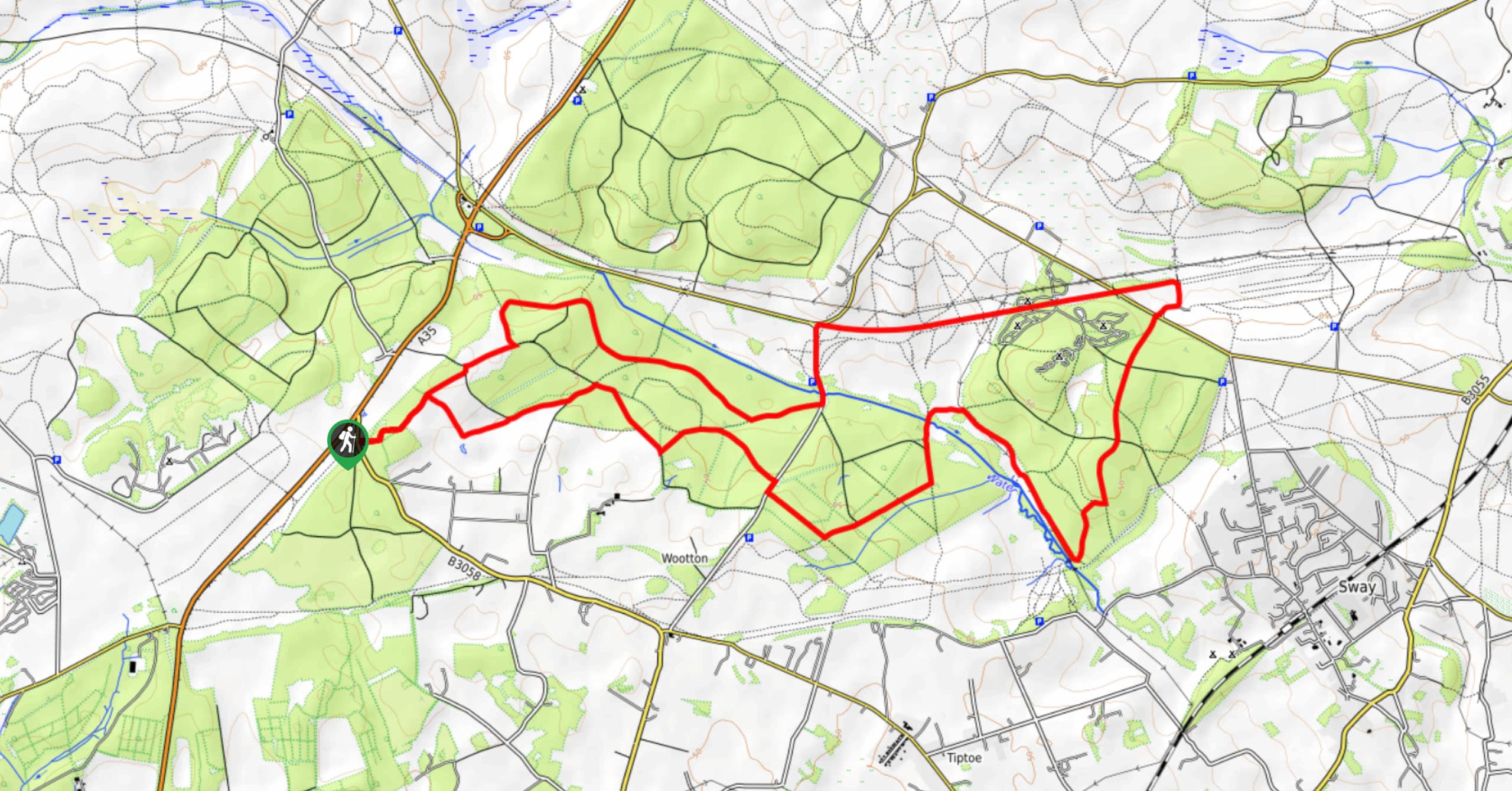
Burley and Sway Walk
The Burley and Sway Walk meanders along varied terrain, ranging from gravel and grass tracks, stream crossings, and muddy conditions.…
Comments