
Clay Hill Circular Walk
View Photos
Clay Hill Circular Walk
Difficulty Rating:
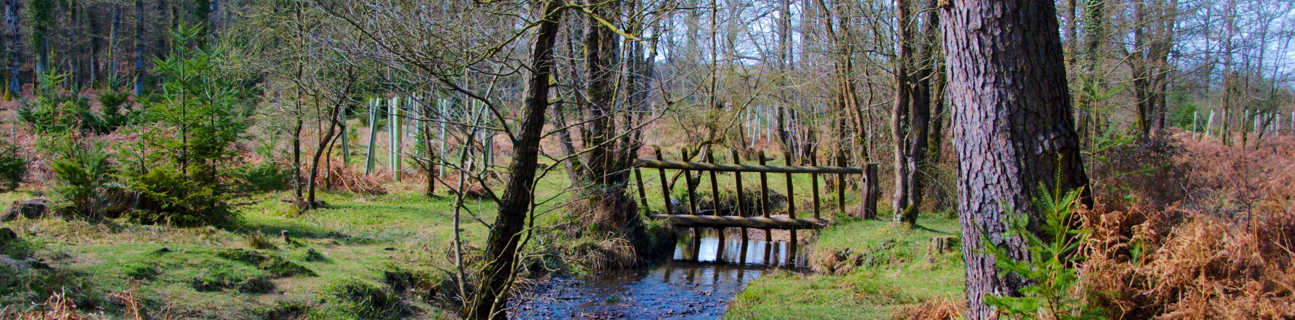
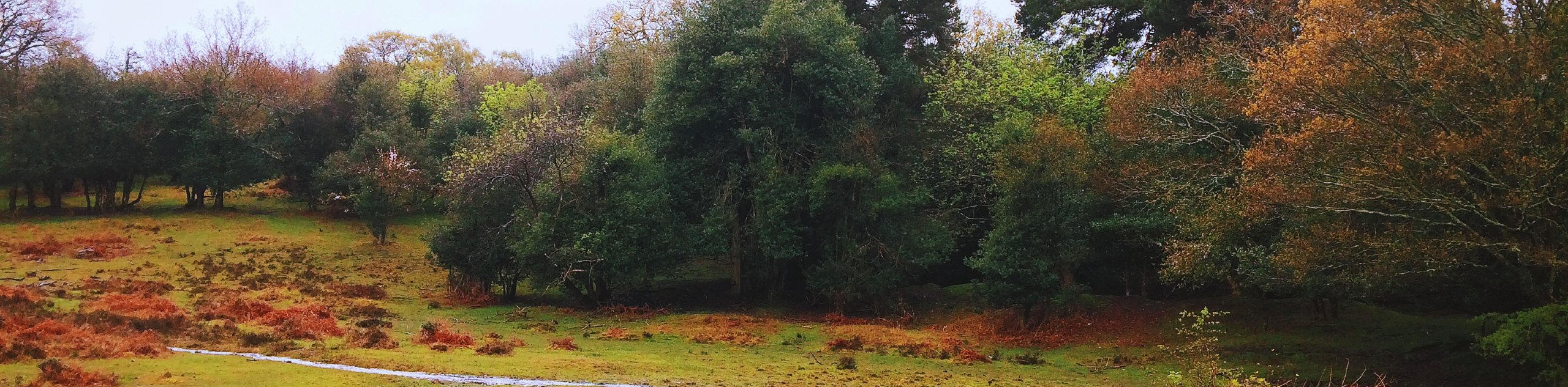
The Clay Hill Circular Walk may be long at 13.7mi, but the moody scenery punctuated by wild horses and deer will force you to forget all about how long you have to go to make it back to your car. Some parts are overgrown, boggy, and marshy, but we see this as part of the adventure! You’ll also want to download a GPS for this route, for sure! But hey, it’s fun to get a little lost sometimes, right?
Getting there
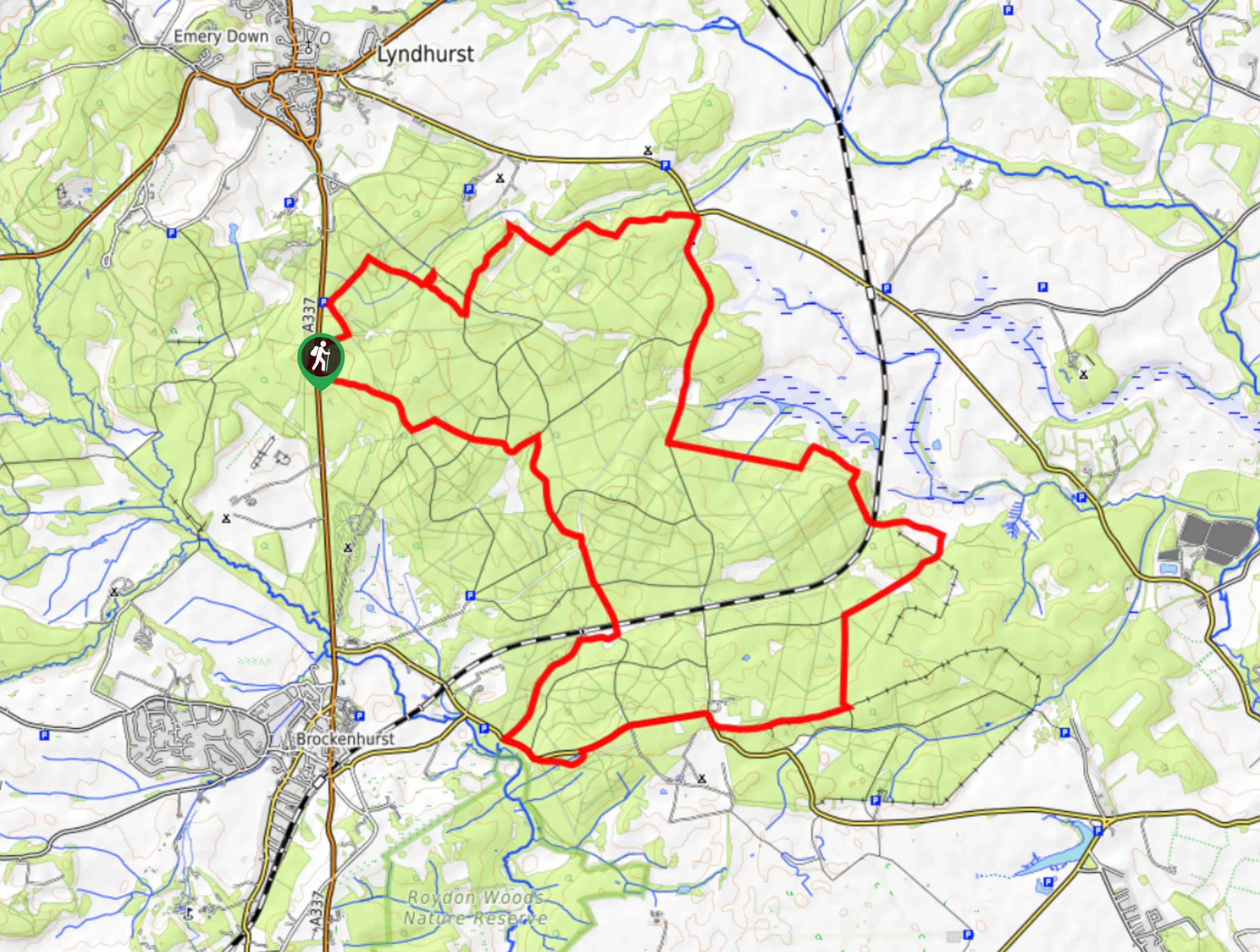
To get to the start of the Clay Hill Circular Walk, head to Whitley Wood near Lyndhurst, just past the Clay Hill Car Park.

About
| Backcountry Campground | No |
| When to do | Year-round |
| Pets allowed | Yes - On Leash |
| Family friendly | Older Children only |
| Route Signage | Poor |
| Crowd Levels | Low |
| Route Type | Lollipop |
Clay Hill Circular Walk
Elevation Graph
Weather
Clay Hill Circular Walk Description
The Clay Hill Circular Walk takes you on an exciting adventure through moody and fairytale-like woodland scenery. You’ll find some unique trees en route, including one with a painted door, looking like it came straight from Winnie the Pooh’s Honey Acre Woods! We also mentioned above that trail finding can be tricky along this route, so be sure to download a GPS before you go. It’s also recommended to wear appropriate footwear as sections can be boggy, even during summer months.
Setting out from Whitley Wood, go north through the trees before turning right to cross Lyndhurst Road. Shortly after, you’ll reach an intersection, where you’ll veer right to kickstart the circular section of this route. As you make your way around, look for deer and horses roaming through the trees! Take care during boggy, marshy, overgrown, and road sections as well. Eventually, you’ll reach the same intersection that signalled the start of the loop. Here, you’ll veer right to cross Lyndhurst Road to go back to your car.
Similar hikes to the Clay Hill Circular Walk hike
Bolderwood to Knightwood Oak Walk
The Bolderwood to Knightwood Oak Walk makes for a great option if you’re craving moody forest scenery with the potential…
Burley and Sway Walk
The Burley and Sway Walk meanders along varied terrain, ranging from gravel and grass tracks, stream crossings, and muddy conditions.…
Cadman's Pool and Fritham Forest Walk
The Cadman's Pool and Fritham Forest Walk forms a figure-eight to take you through stretches of open heath, under the…
Comments