
Yellow Aster Butte Trail
View Photos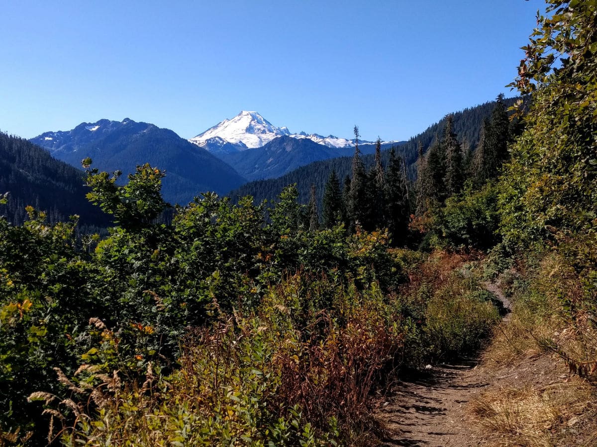

Yellow Aster Butte Trail
Difficulty Rating:
The Yellow Aster Butte trail has summer wildflowers, fall colors, twinkling tarns and 360-degree mountain views. All that adds up to Yellow Aster Butte being an undeniably spectacular trail in the Mount Baker wilderness in the North Cascades region of Washington.
Getting there
To get to Yellow Aster Butte trailhead, from the town of Glacier, drive east for 13.0mi urn left at Twin Lakes Rd. Follow Twin Lakes Rd for 4.5mi to the signed trailhead. A Northwest Forest Pass or America the Beautiful Interagency Pass is required. Some local passes are also accepted. Click here for more information about fees and passes.

About
| When to do | July to October |
| Backcountry Campsites | Yes, at tarns west of Yellow Aster Butte |
| Toilets | Yes, at trailhead |
| Family friendly | No |
| Route Signage | Average |
| Crowd Levels | High |
| Route Type | Out and back |
Yellow Aster Butte Trail
Elevation Graph
Weather
Yellow Aster Butte Trail Description
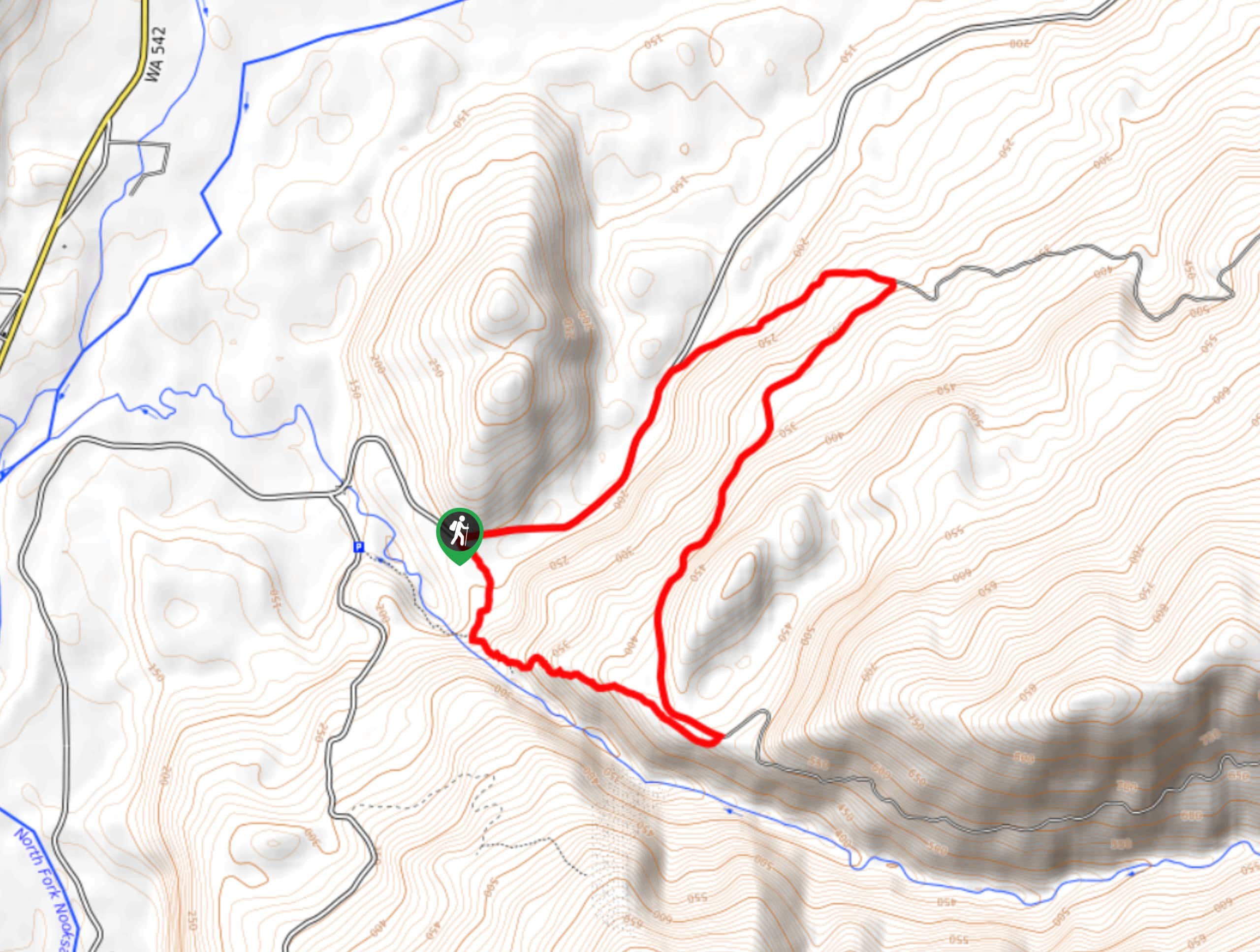
A challenging and rewarding ascent is what you’ll find at Yellow Aster Butte. Begin by securing a parking spot along the road (there is no actual parking lot), then find the signed trailhead and restroom.
The trail begins climbing immediately through the forest, gaining 900ft in the first 1.0mi. At 1.6mi, stay left at the signed junction.
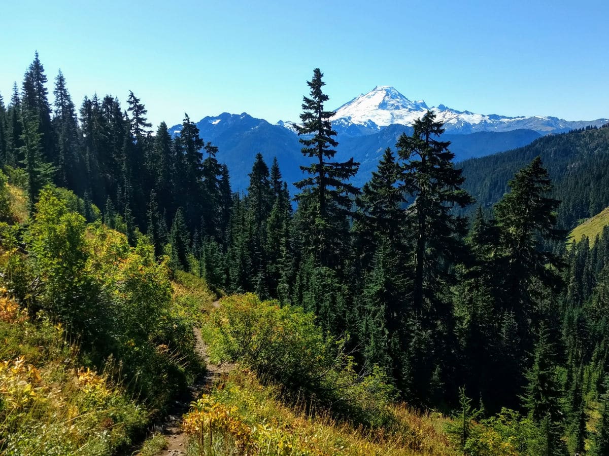
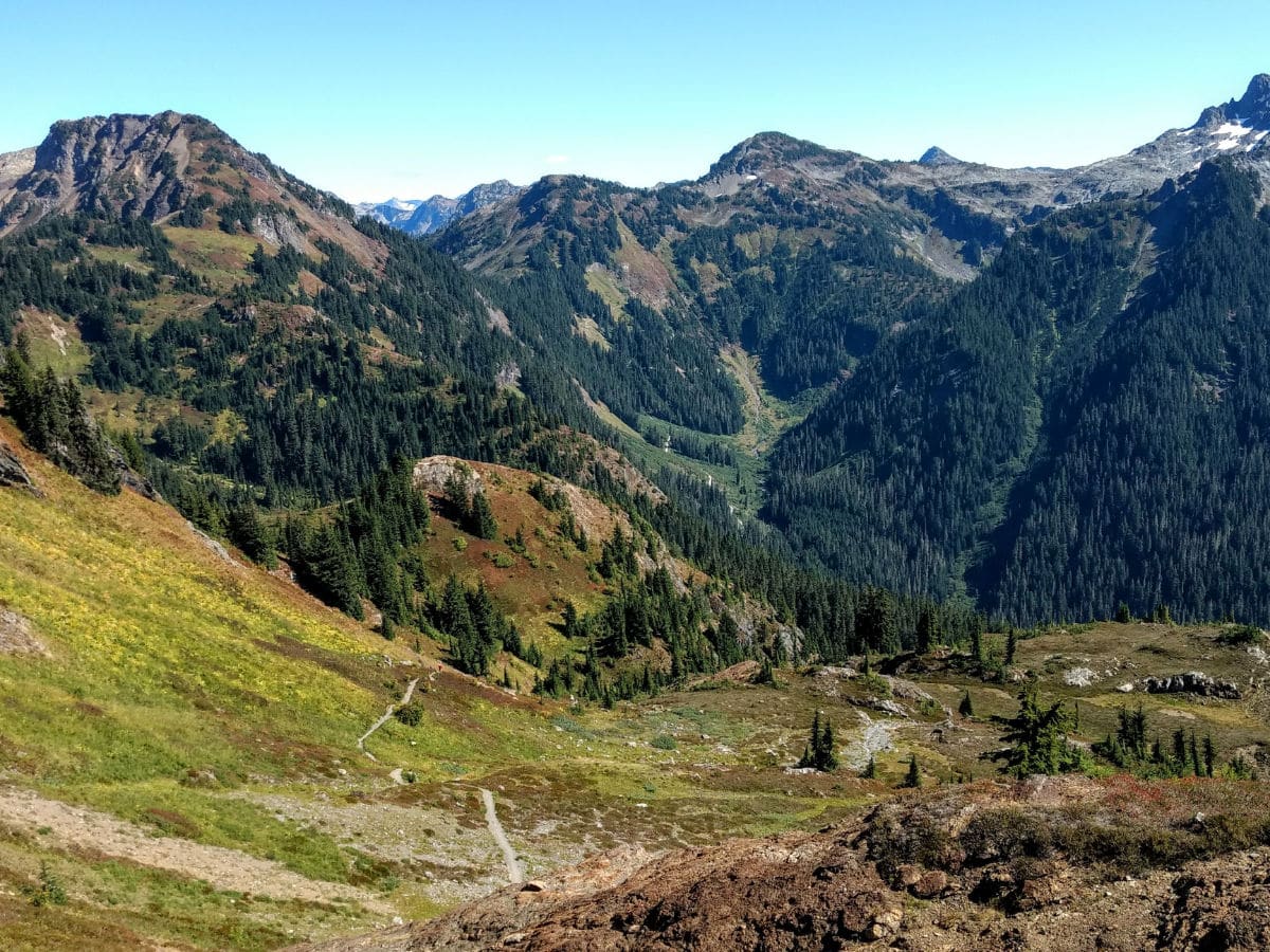
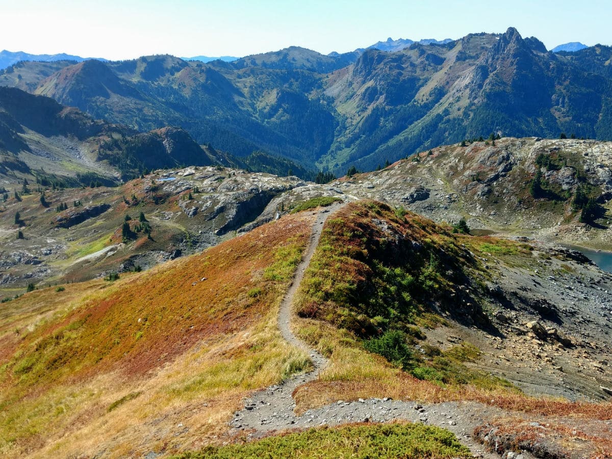
Views open up as the Yellow Aster Butte trail transforms to meadows. The path arcs north, then west, then southwest, following a relatively flat contour for the next 0.8mi. At 2.3mi the trail drops into a bowl, where a permanent snowfield melts under the sun creating a series of braided streams. This is a nice spot for a break before continuing the climb.
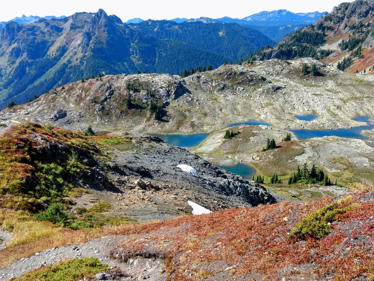
After crossing the streams, continue gaining elevation to an unsigned junction at 3.3mi. Turn right (east) to make your way up Yellow Aster Butte. The path to the left drops down to a picturesque collection of tarns before eventually climbing to Tomyhoi Peak. The tarns are a popular camping area. Camping is only allowed on snow, rock, or the bare ground, as the meadows here are very fragile.
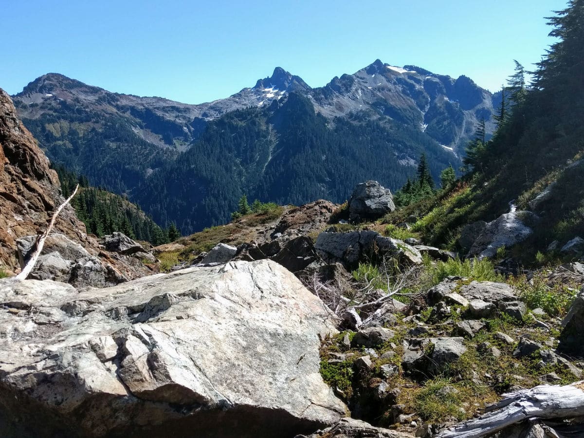
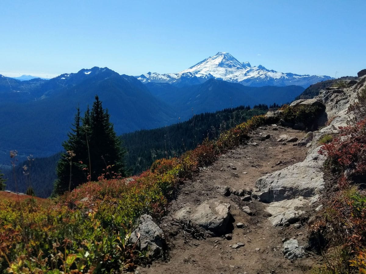
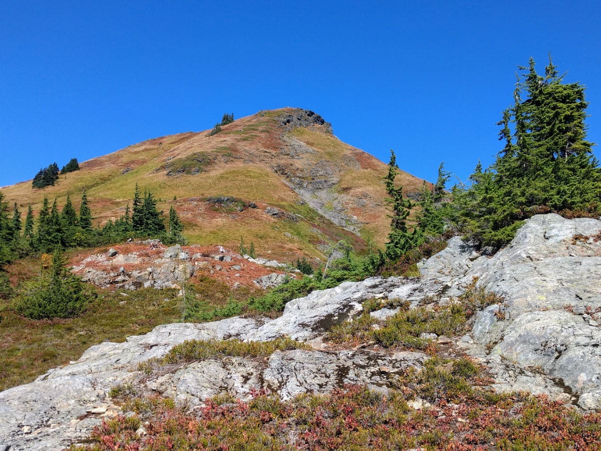
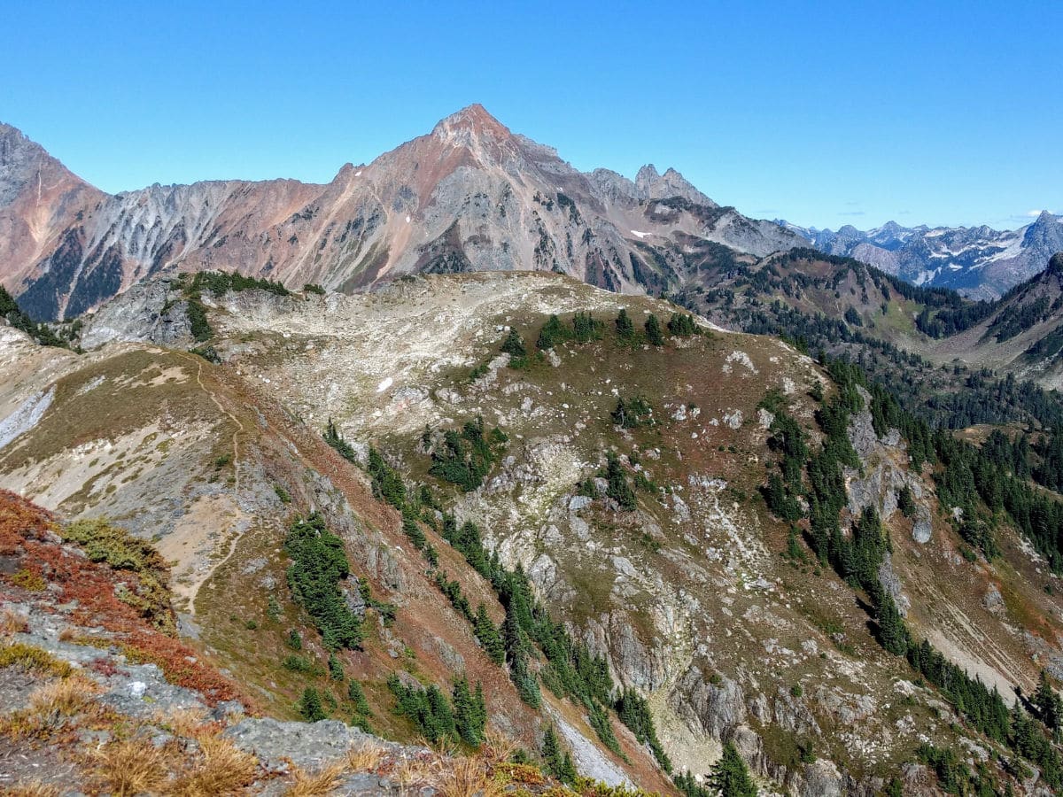
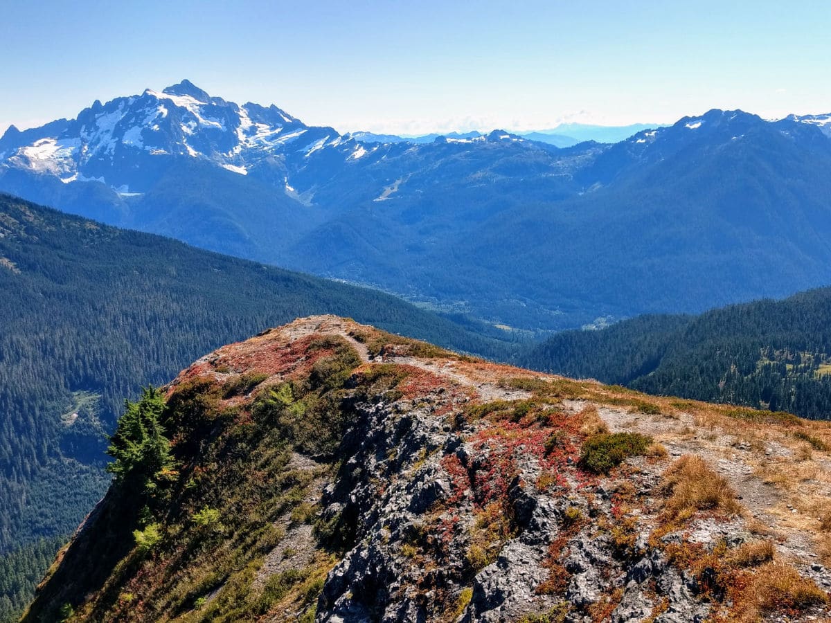
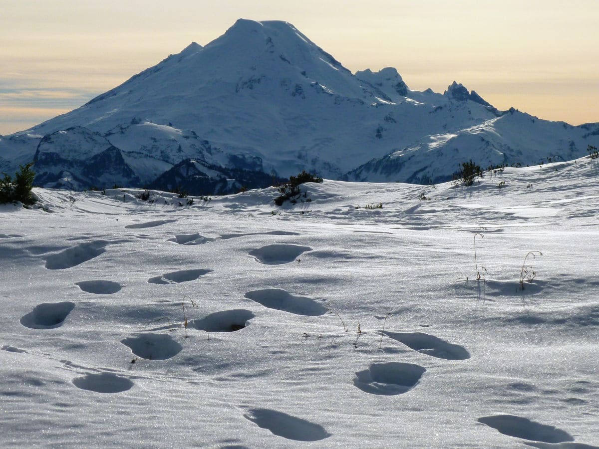
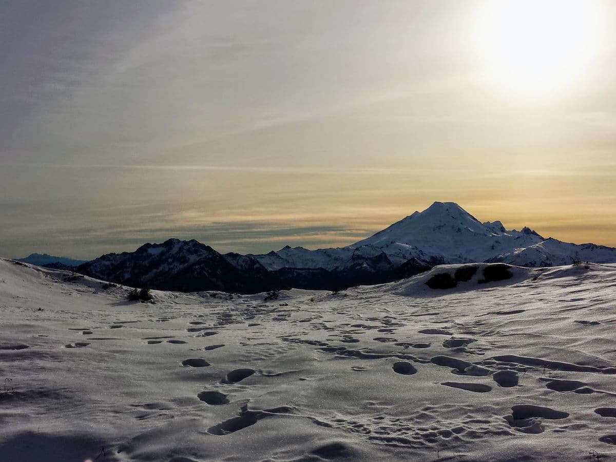
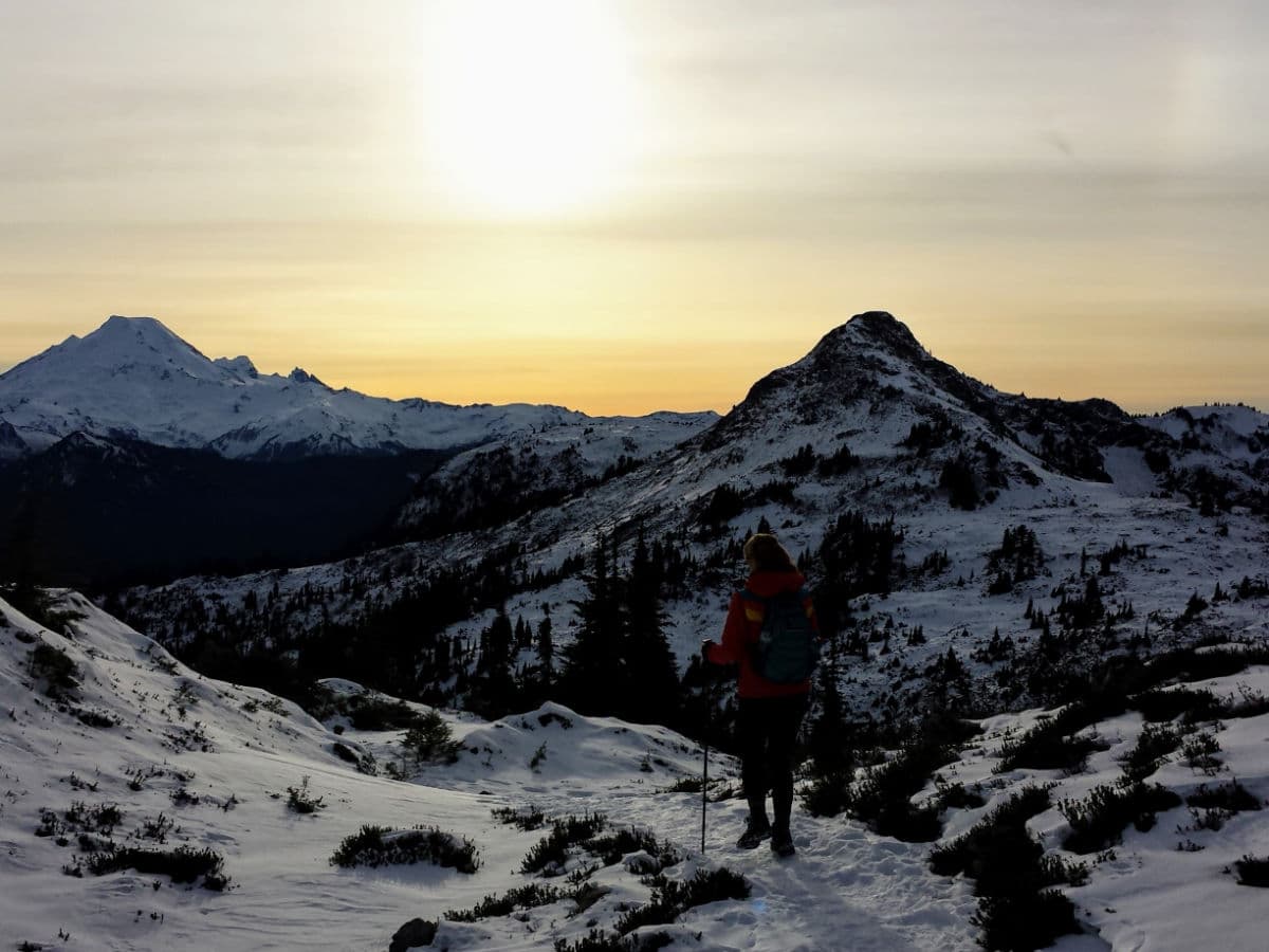
The final push to the summit of Yellow Aster Butte gains 400ft in 0.3mi. This is by far the steepest section of the trail, but it’s well worth the effort. At the top, victorious hikers are rewarded with views north to Canada, the border peaks, and rusty Mount Larrabee. Winchester Mountain rises to the east – bring binoculars to spot its lookout tower. Turn to the southeast to see Goat Mountain, Mount Shuksan and Price Lake. Mount Baker rises coolly to the southwest. Finally, Tomyhoi Peak completes the panorama. Once you’ve had your fill, return the way you came.
Hiking Trail Highlights
Yellow Aster Butte
Yellow Aster Butte is a scenic triple-summit peak just west of the Twin Lakes and Winchester Mountain, near Mount Baker.
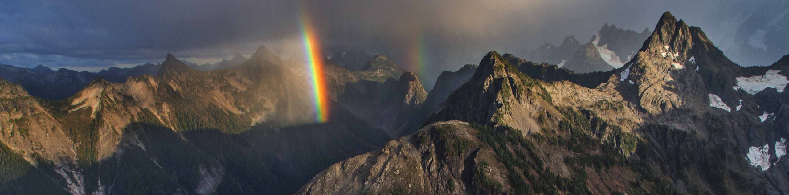
While it is not the most technical climb, Yellow Aster Butte is quite a challenging hike but it is also very rewarding. After you reach the summits, you will be amazed by some of the most spectacular views in the region, including Mount Baker, the Pickets, Mount Shuksan, Mount Larabee, Canadian Border Peak, American Border Peak, the Tomyhoi Peak, and even the beautiful Church Mountain further away to the west.
The Yellow Aster Butte trail is especially in the autumn as the trees change to bright colors and the forest is full of wildlife scavenging for berries. The trail is also less crowded in the fall. Spring and early summer is also a great time of year to hike this trail as the wildflowers along the trail are a wonder to behold.
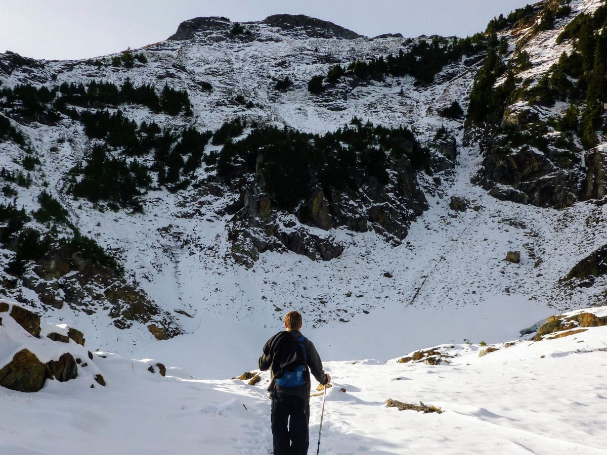
The weather in this area is best between June and September. Be sure to check the weather forecast before hitting the trail. Thick cloud cover not only spoils the incredible views, it also reduces visibility. Wet rocks and steep descents can pose a safety hazard, so avoid this trail in bad weather.
Like this hike? Check out more amazing hikes in Mount Baker, like Skyline Divide, Heliotrope Ridge, and Chain Lakes Loop!
What to know when hiking the Yellow Aster Butte in 2024
The trail usually opens from July through October due to heavy snowfall during the other months, however, due to low snow levels this year, it is expected for the trail to clear up earlier. The trailhead road (NF-3605) is narrow and windy, often leading to traffic jams, especially during weekends or the busy fall season. It’s advisable to park a little south of the trailhead to avoid congestion.
Insider Hints
Trekking poles are encouraged here, especially for the descent.
For another nearby adventure, follow the rough Twin Lakes Road up to Twin Lakes (high clearance and 4WD suggested). Then hike the trail to Winchester Mountain Lookout.

Similar hikes to the Yellow Aster Butte Trail hike
Twin Lakes Trail
Twin Lakes Trail is a 14.7mi hike in the Mount Baker Wilderness that leads you to two picturesque…
Racehorse Falls Loop
The Racehorse Trail Loop is an easy hike to a pretty waterfall that cascades over several tiers. The hike to…
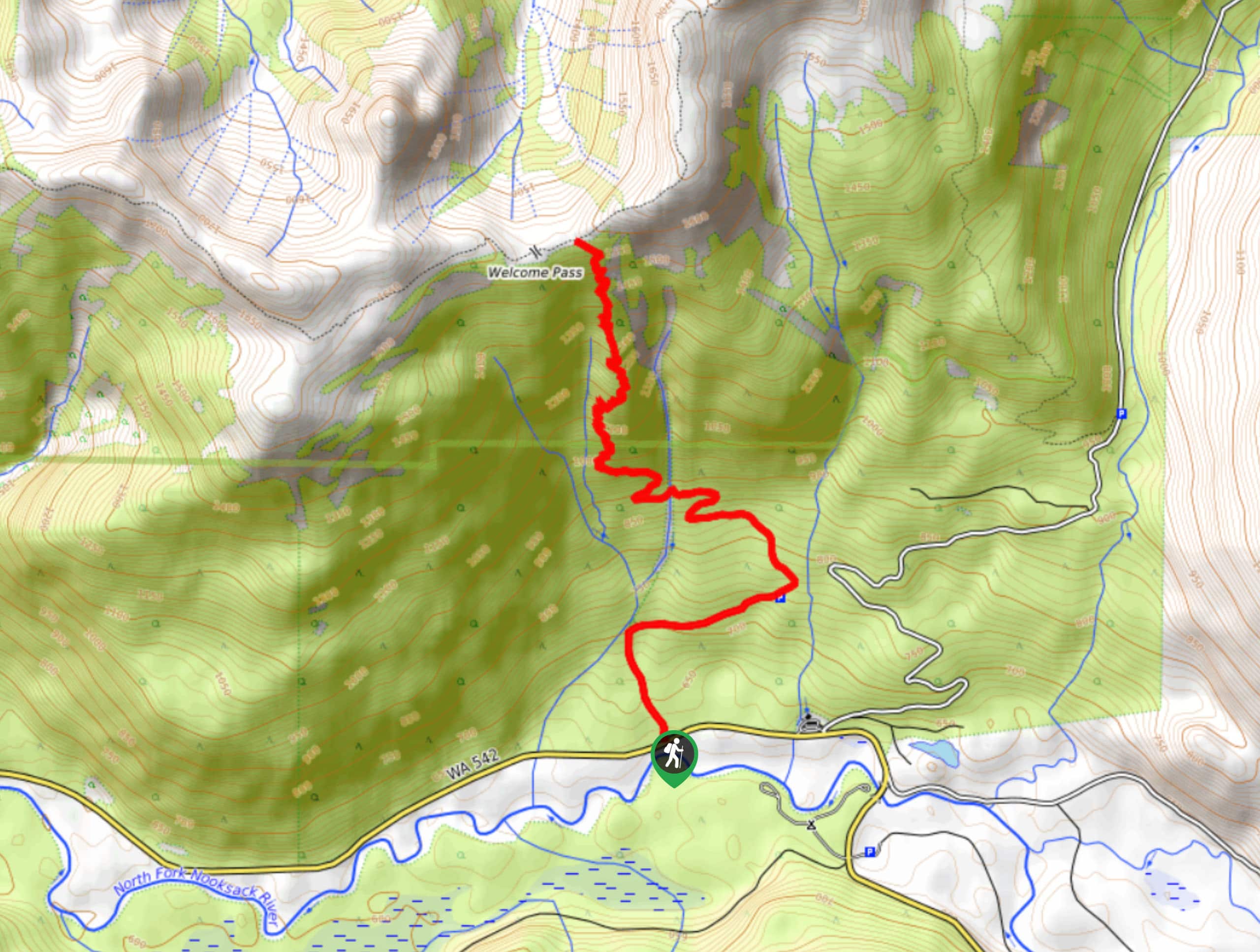
Welcome Pass Hike
The hike to Welcome Pass on High Divide Trail offers fantastic views of the surrounding mountains and lakes too numerous…
Papa smurph 4 years ago
The top was incredible. Sweeping panoramic views of the Canadian border peaks, Mount Baker, and Mount Larrabee. Amazing!
E.david 4 years ago
Very peaceful and great views.
Lambert O 4 years ago
360 degree view from the top that is nothing less than rewarding and worth it. Amazing!
Aleysha C. 4 years ago
Sweeping panoramic views of the Canadian border peaks, Mount Baker, and Mount Larrabee. We absolutely loved it!
Meighan 4 years ago
The last portion of the hike is a bit steep but we'll worth the climb. Gorgeous hike!
T Rob 4 years ago
I did this trail in September last year and the sights are spectacular. a surprise everywhere you look
Sahara K. 4 years ago
The terrains were incredible! It was a pleasant experience overall.
Eli-Tim 4 years ago
I enjoyed the views and the wildlife spotting along the way.
Zoey Mann 4 years ago
It's nice to see fellow hikers leaving nothing but footprints behind.
Eliza Mendez 5 years ago
Glorious hike in the park. The trail was exhausting to do, but the whole experience was memorable and priceless.