Tomyhoi Peak Hike
View Photos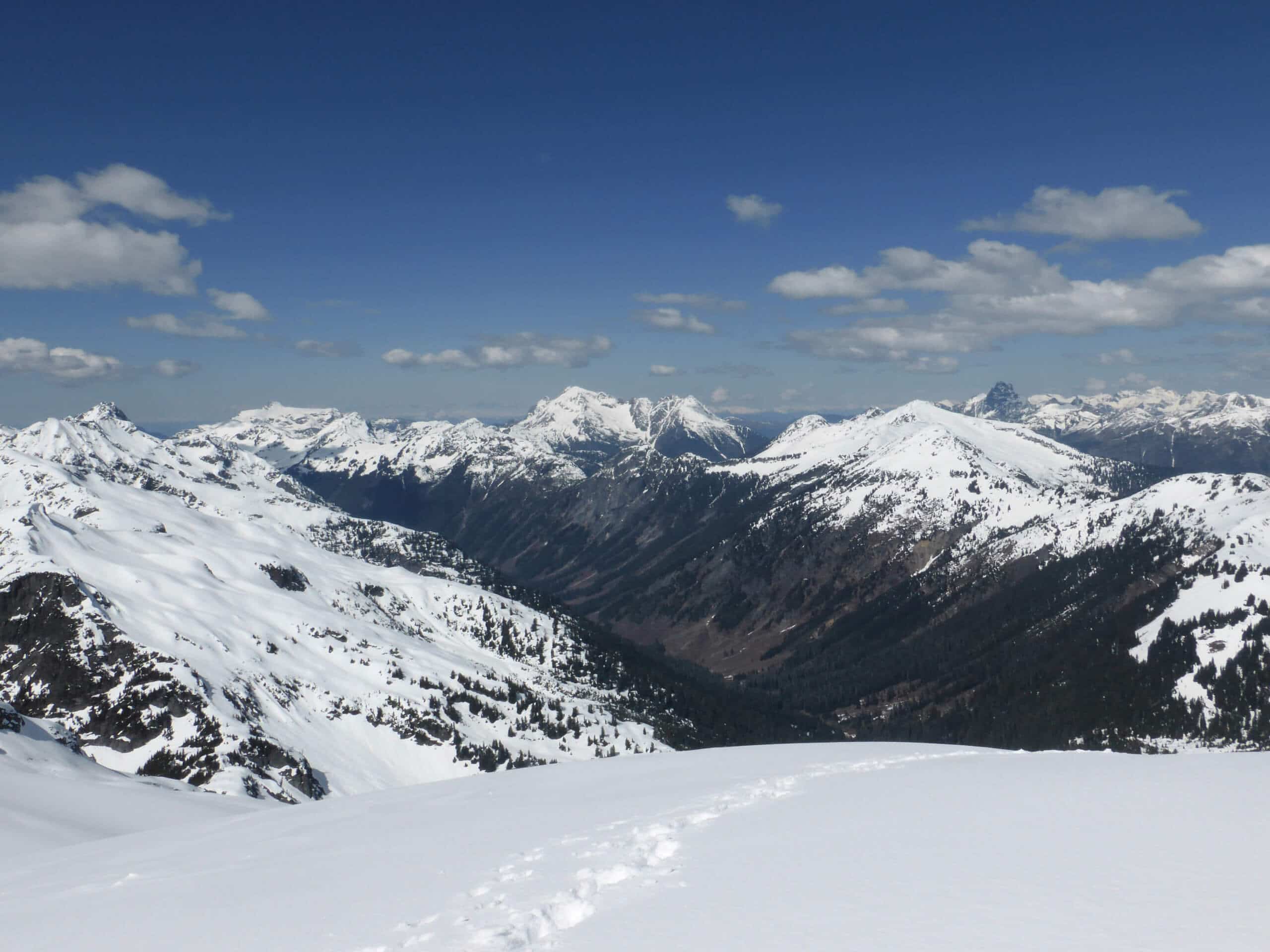
Tomyhoi Peak Hike
Difficulty Rating:
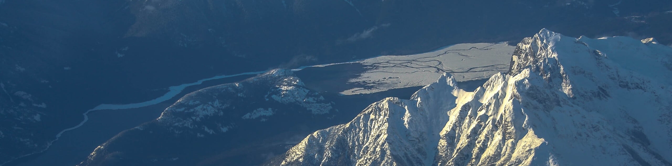
The Tomyhoi Peak hike is a great choice for experienced adventurers who want to try out a mountain that requires some technical work. This hike offers stunning views to the nearby Canadian border and beyond. It’s a hard trail with hands-on climbing required, making it unsuitable for newer hikers or those who are uncomfortable with exposure.
Dogs are permitted on this trail but won’t be able to make it up to the summit- unless they can nail a Class III scramble!
Getting there
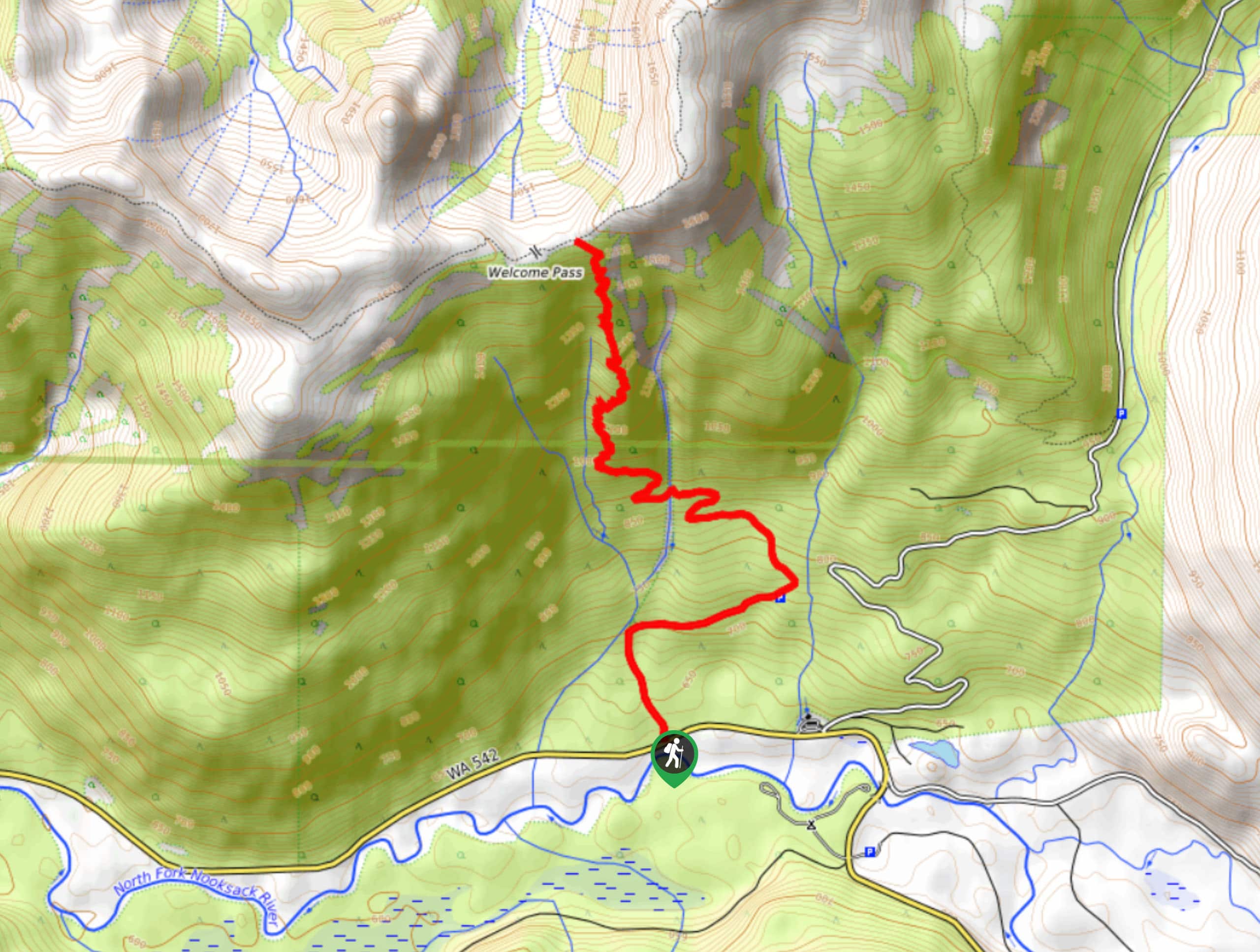
The trailhead for Tomyhoi Peak is on Twin Lakes Road.

About
| Backcountry Campground | No |
| When to do | June-October |
| Pets allowed | Yes - On Leash |
| Family friendly | No |
| Route Signage | Average |
| Crowd Levels | Low |
| Route Type | Out and back |
Tomyhoi Peak Hike
Elevation Graph
Weather
Tomyhoi Peak Hike Description
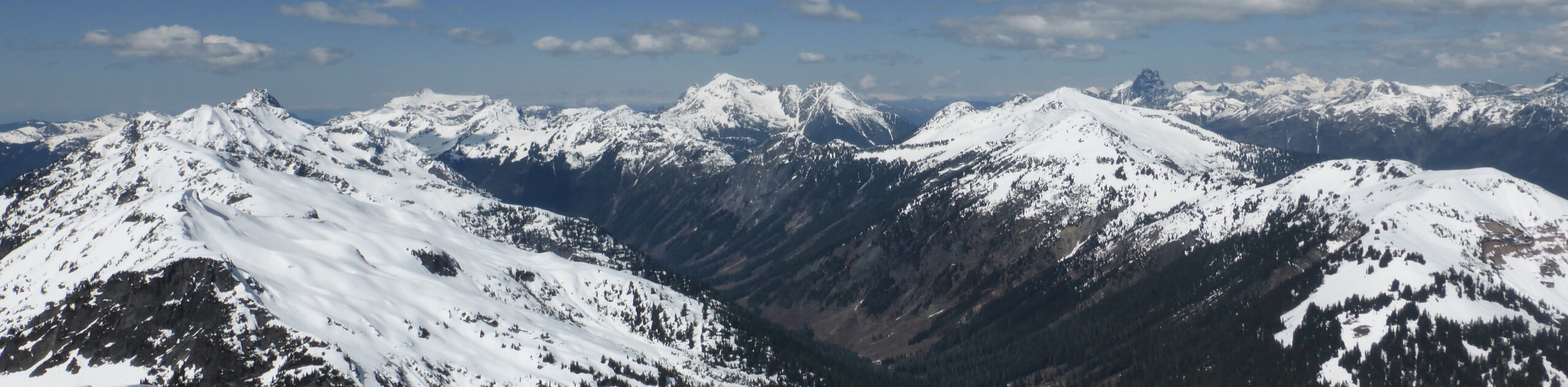
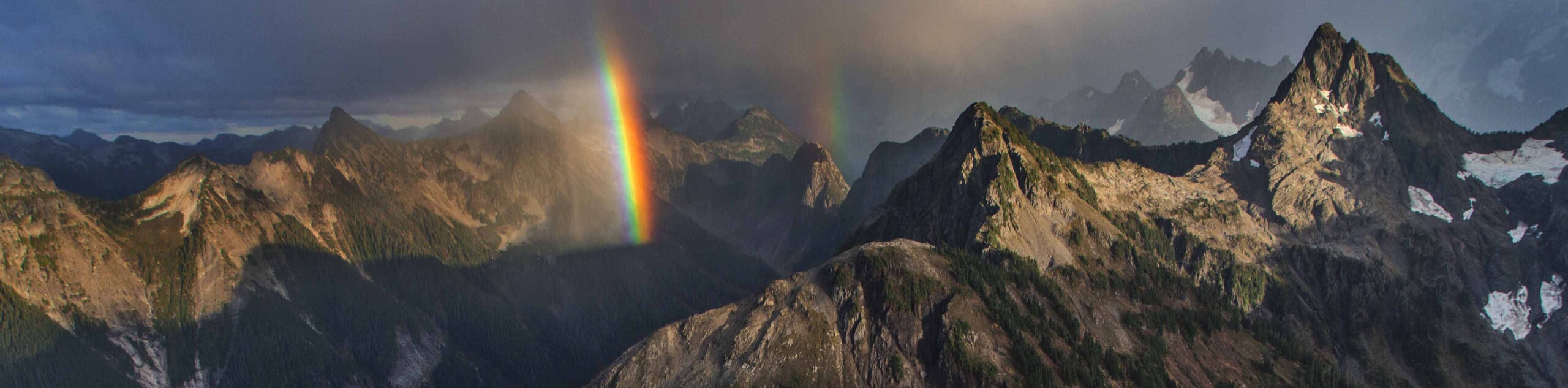
Looking for a hike that can help you expand your comfort zone? Tomyhoi Peak offers stunning views across the Canadian border and beyond, but this long, difficult hike will make you work for it. Expect exposed Class III scrambling to get to the summit and lots of leg-burning required to reach the top. Those who want to skip the scramble can hike as far as they feel comfortable going to enjoy the views.
Don’t attempt this hike on a wet day, and don’t attempt it solo. We also recommend downloading a GPS track to make sure you stay on the trail. Bring plenty of water and extra layers for the top.
From the trailhead, the route follows wide switchbacks to climb a steep wall. The trail straightens out as you trek directly up to the base of Yellow Aster Butte. You’ll skirt around the base of the butte and navigate through a collection of tarns to the trail for the peak. Following a faint ridgeline, it’s a straight shot to the top. Just before the summit, you’ll take on an exposed section of technical hands-on climbing.
From the top, bask in the views before carefully downclimbing and then retracing your steps back to the trailhead.
Similar hikes to the Tomyhoi Peak Hike hike
Twin Lakes Trail
Twin Lakes Trail is a 14.7mi hike in the Mount Baker Wilderness that leads you to two picturesque…
Welcome Pass Hike
The hike to Welcome Pass on High Divide Trail offers fantastic views of the surrounding mountains and lakes too numerous…
Shannon Ridge Trail
Shannon Ridge Trail is a fun, challenging hike that leads you through the forest to a viewpoint over Baker Lake…
Comments