
Shannon Ridge Trail
View Photos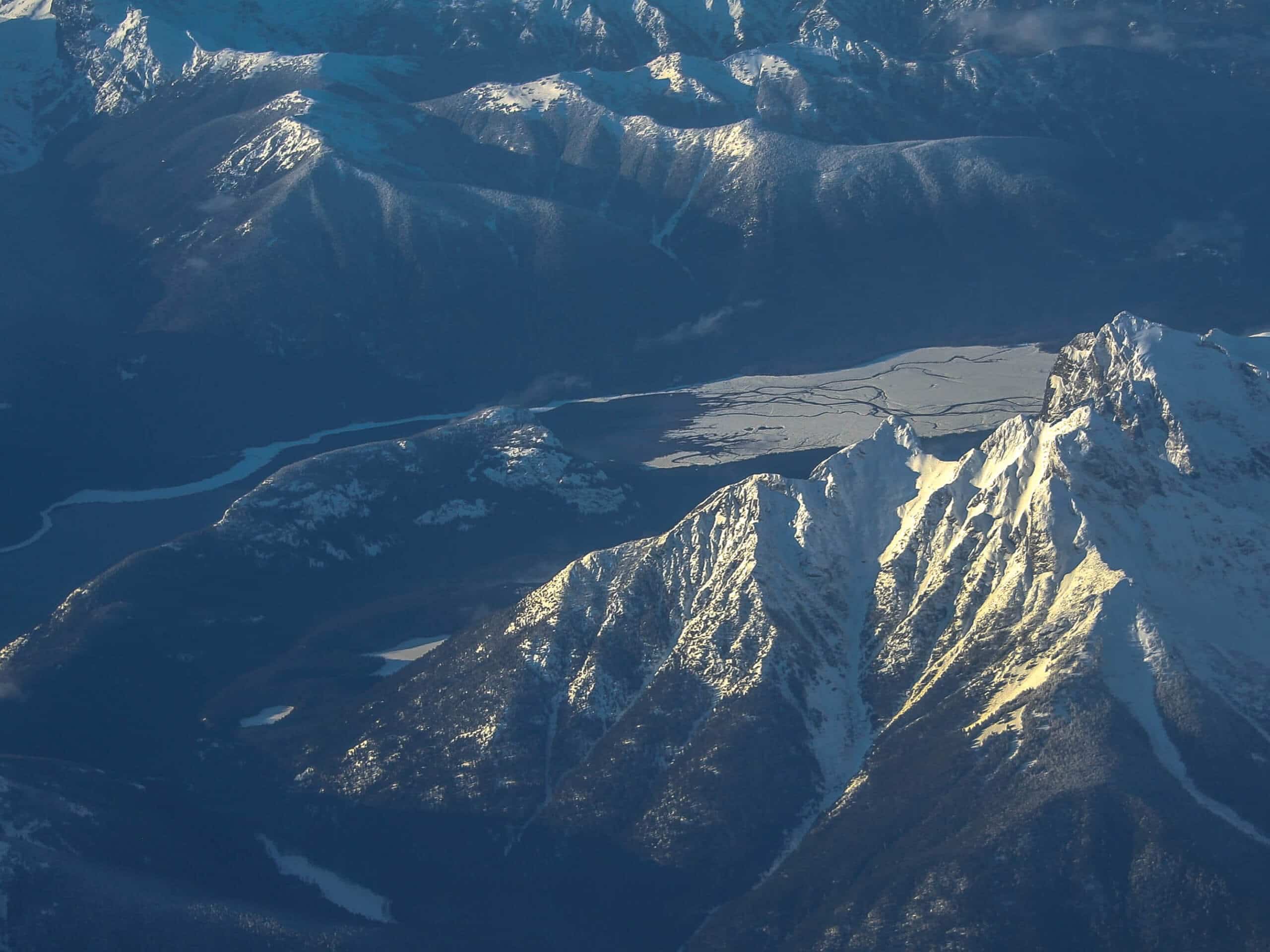
Shannon Ridge Trail
Difficulty Rating:
Shannon Ridge Trail is a fun, challenging hike that leads you through the forest to a viewpoint over Baker Lake and the surrounding Mountains. It’s a fun but tiring trek, with lots of roots to avoid and a solid climb required. You won’t need to share the trail with too many other people on this hike! Poles and good boots are recommended.
Getting there
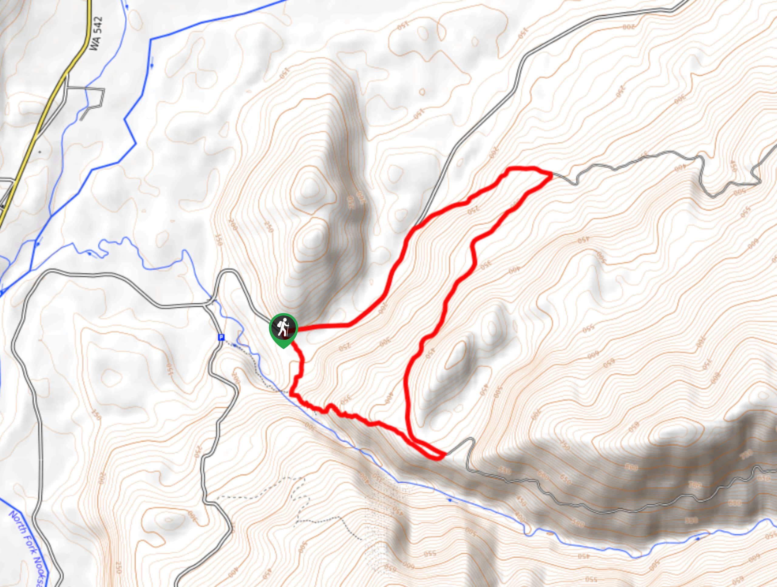
The trailhead for the Shannon Ridge Trail is near the end of National Forest Development Road 1152.

About
| Backcountry Campground | No |
| When to do | June-November |
| Pets allowed | Yes |
| Family friendly | No |
| Route Signage | Average |
| Crowd Levels | Moderate |
| Route Type | Out and back |
Shannon Ridge Trail
Elevation Graph
Weather
Shannon Ridge Trail Description
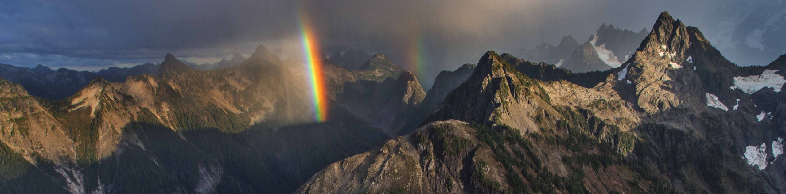
Shannon Ridge is an impressive hike that rewards you with views of Baker Lake and the Cascades. This hike is a bit adventurous, with lots of rooty sections and mud. Wear solid boots and prepare for an intrepid trek. You’ll also need to climb some steep sections, so poles are a good idea if you have them.
Note: There are two parking areas for this hike. The first one is free and the second one is paid. The second one is about two miles past the first at the end of the road.
From the trailhead, hike roughly north into the forest. You’ll cross a creek as you traverse across a slope, following the contour of the hillside. The route is quite relaxed until the last third or so. This is where the climbing begins- you’ll switchback your way up the slope, gaining most of the elevation of the trail en route to the viewpoint. From the top, the trail continues on, but you’ll turn back and retrace your steps.
Similar hikes to the Shannon Ridge Trail hike
Twin Lakes Trail
Twin Lakes Trail is a 14.7mi hike in the Mount Baker Wilderness that leads you to two picturesque…
Racehorse Falls Loop
The Racehorse Trail Loop is an easy hike to a pretty waterfall that cascades over several tiers. The hike to…
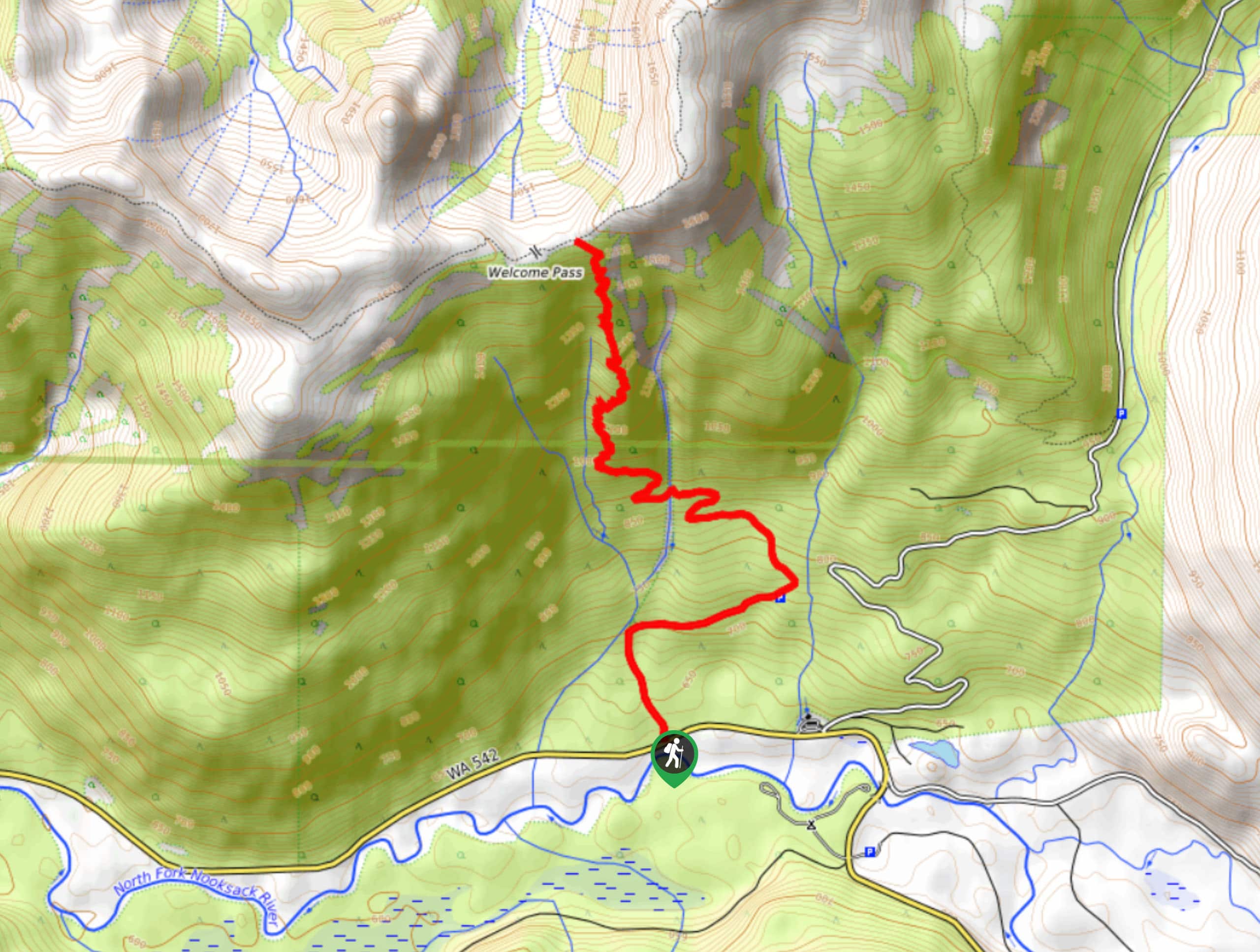
Welcome Pass Hike
The hike to Welcome Pass on High Divide Trail offers fantastic views of the surrounding mountains and lakes too numerous…
Comments