
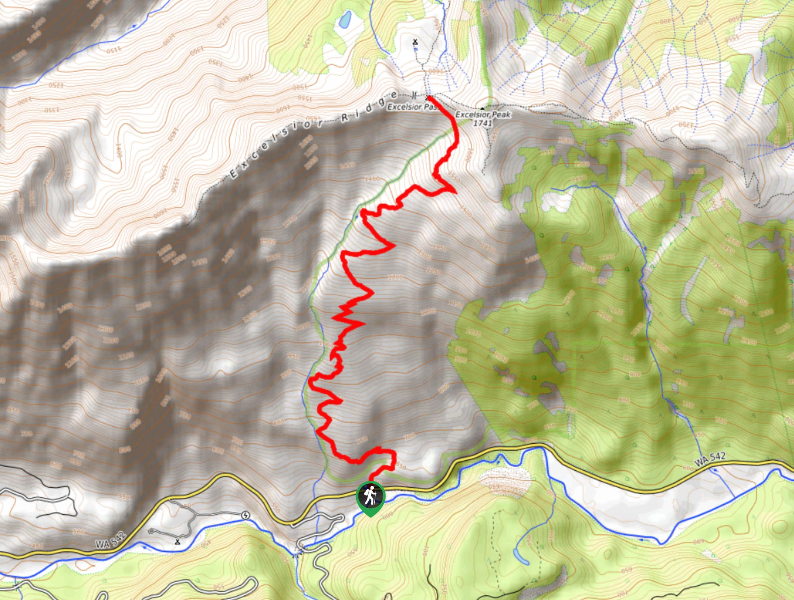
Excelsior Pass Trail
View Photos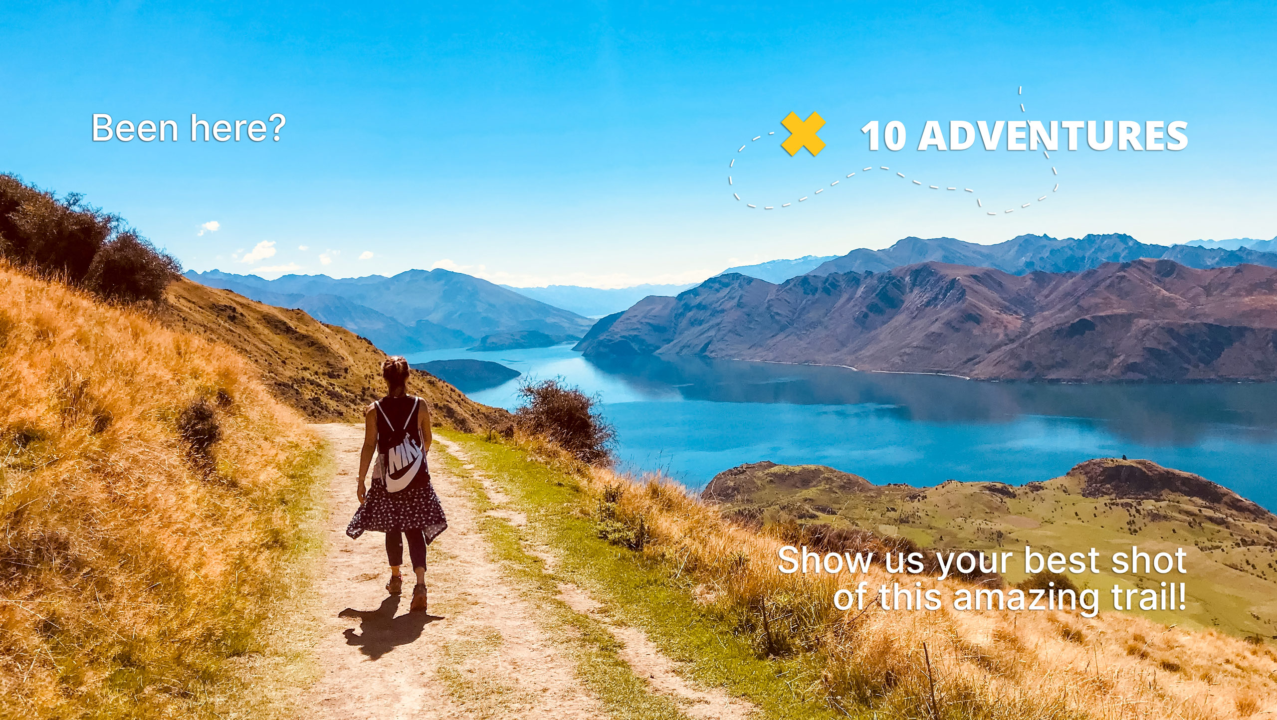
Excelsior Pass Trail
Difficulty Rating:
Excelsior Pass Trail is a beautiful hike with 360-degree views from the top. While it’s a bit of a leg-burner, it’s worth the work. This trail can easily be extended a few more steps to include the summit of Excelsior Peak, but the views from the pass will feel quite rewarding on their own. Bring poles and prepare for a lot of switchbacks! Expect moderate-heavy traffic on this hike.
Getting there
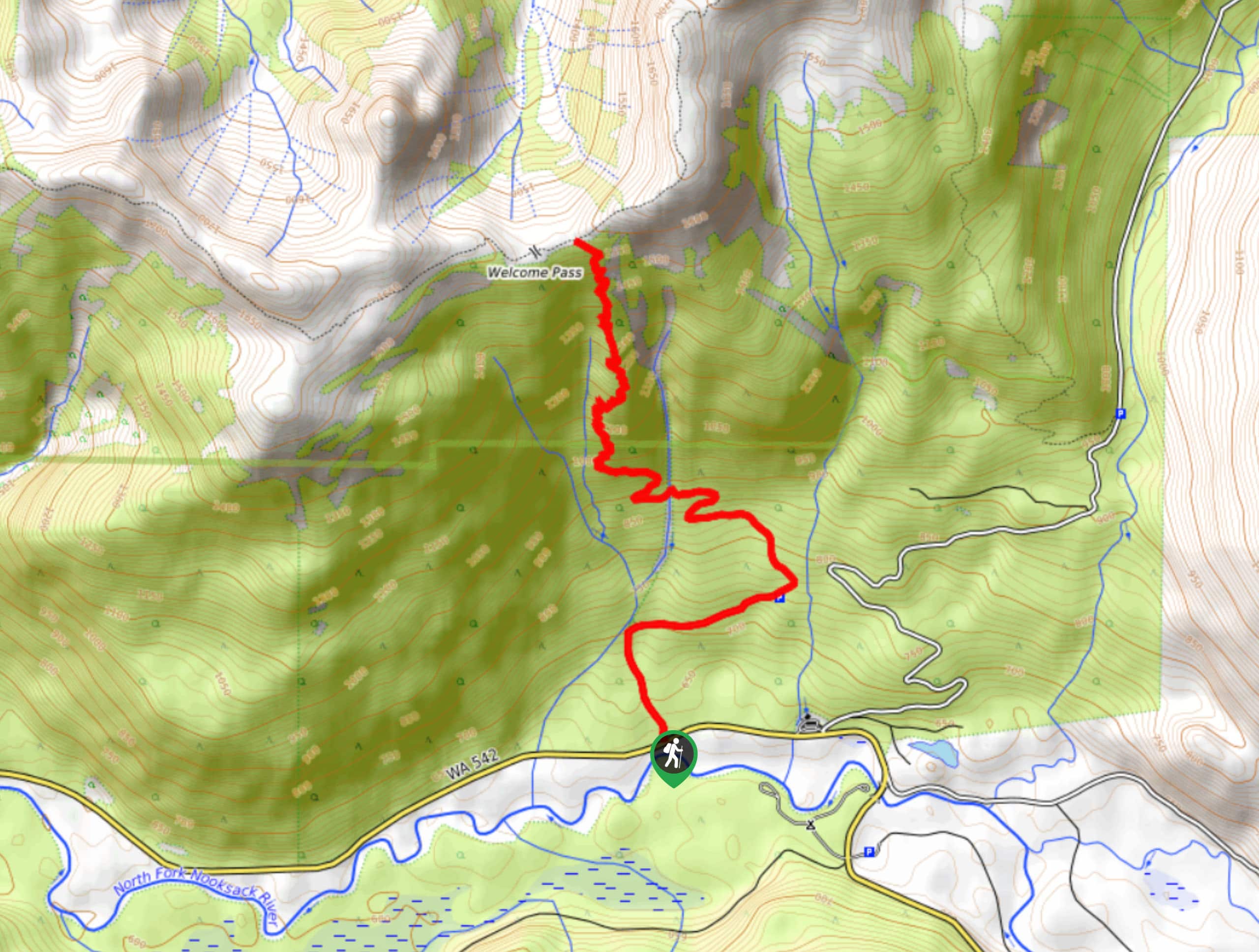
The trailhead for Excelsior Pass Trail is on Mount Baker Highway.

About
| Backcountry Campground | No |
| When to do | June-November |
| Pets allowed | Yes - On Leash |
| Family friendly | No |
| Route Signage | Average |
| Crowd Levels | High |
| Route Type | Out and back |
Excelsior Pass Trail
Elevation Graph
Weather
Excelsior Pass Trail Description
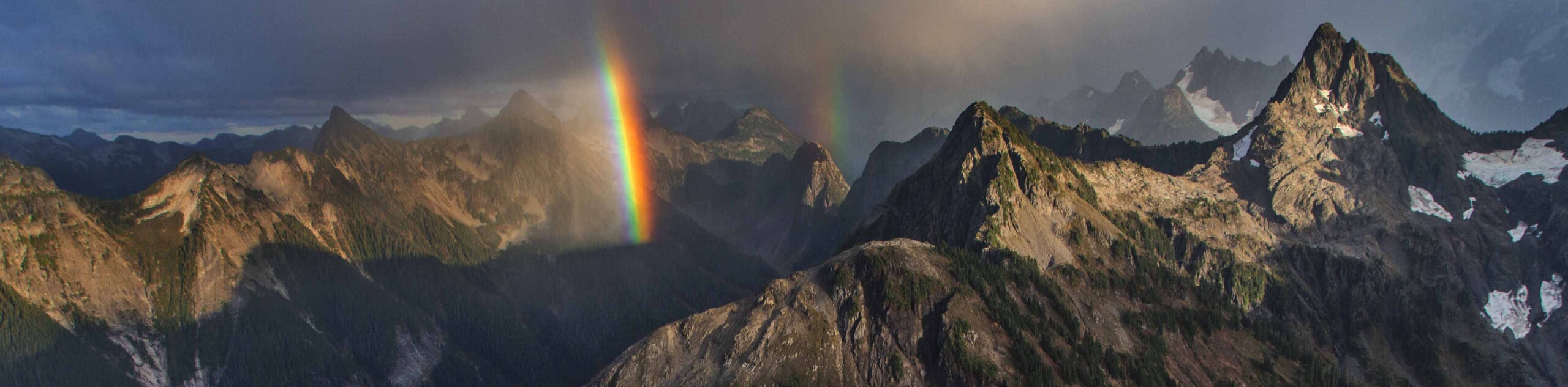
The Excelsior Pass Trail is an awesome adventure. While you’ll climb more switchbacks than you’ll care to count, the view from the top will be worth it. You can see far into Canada and all across the surrounding mountains, including Bearpaw Mountain, Church Mountain, Skyline, and more.
Poles and good boots are recommended. If you can, plan this hike in the early summer when the meadows are in full bloom. It’s quite a sight to see!
From the trailhead near the road, you’ll start a long, long course of switchbacks through the forest. Muscle through this section. When you enter the meadows, take a moment to marvel at the view. It’s impossibly scenic! The pass is where all the trails in the area meet. If you want to add on a quick trip to the peak, hike east a few more steps. When you’re ready, return on the same trail.
Similar hikes to the Excelsior Pass Trail hike
Twin Lakes Trail
Twin Lakes Trail is a 14.7mi hike in the Mount Baker Wilderness that leads you to two picturesque…
Racehorse Falls Loop
The Racehorse Trail Loop is an easy hike to a pretty waterfall that cascades over several tiers. The hike to…
Welcome Pass Hike
The hike to Welcome Pass on High Divide Trail offers fantastic views of the surrounding mountains and lakes too numerous…
Comments