
Twin Falls Trail
View Photos
Twin Falls Trail
Difficulty Rating:
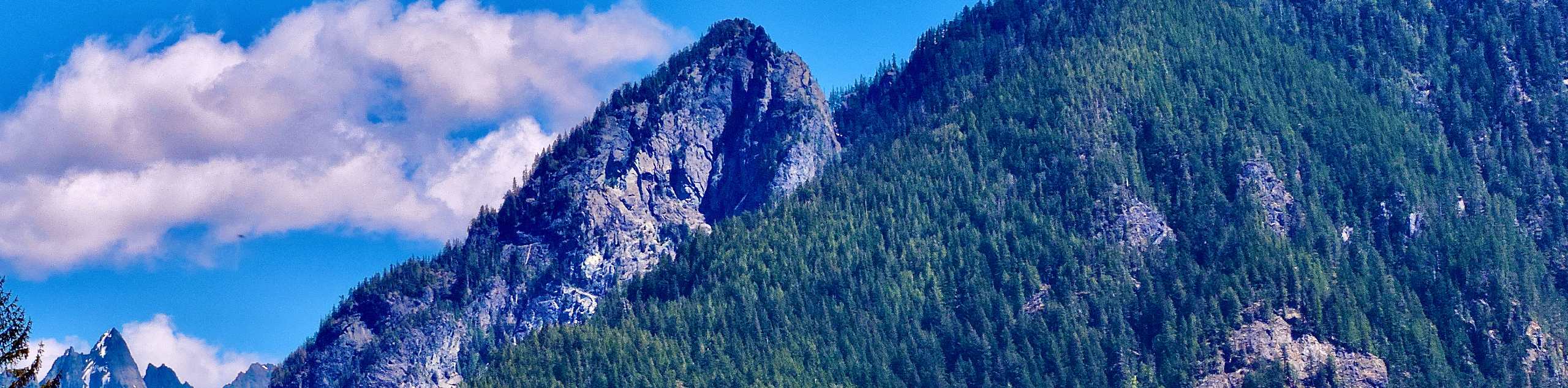
Twin Falls Trail is a heavily trafficked out and back trail in Olallie State Park that is rated as easy-moderate. This trail is family-friendly and offers the opportunity to length or shorten your hike a bit depending on the length of adventure you want. The falls are some of the prettiest close to Seattle, making this a very popular route. Try to arrive early or hike midweek to avoid the crowds!
Getting there
The trailhead for Twin Falls Trail is off I-90 at the end of 468th Ave SE. Turn left onto SE 159th Street and park at the trailhead.

About
| Backcountry Campground | No |
| When to do | May-October |
| Pets allowed | Yes - On Leash |
| Family friendly | Yes |
| Route Signage | Average |
| Crowd Levels | High |
| Route Type | Out and back |
Twin Falls Trail
Elevation Graph
Weather
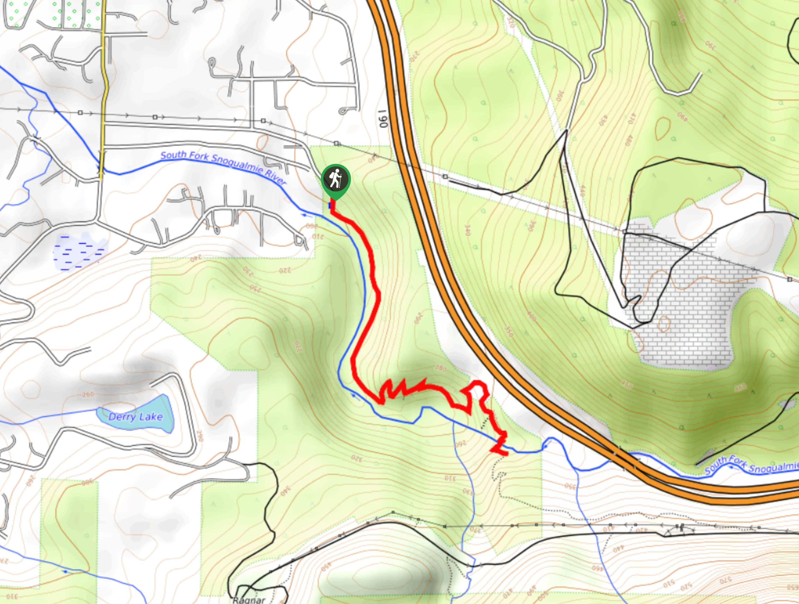
Twin Falls Trail Description
Twin Falls Trail is a beautiful waterfall hike fairly close to Seattle. This hike is a top choice for families and beginner hikers and a very popular weekend spot. The falls aren’t difficult to reach, and you can keep hiking on the trail if you want a longer trip. Because of all of these perks, we do recommend coming early to avoid the weekend crowds.
The hike begins from the trailhead near the South Fork of the Snoqualmie River. Walk alongside the river on Twin Falls Trail for half a mile. There are some small swimming holes on this stretch that can be nice for a quick dip.
After a few winding turns, you’ll get a quick glimpse of the falls before passing through an old-growth grove. About 400 feet later, you’ll arrive at the lower falls viewpoint. This viewpoint is down a set of stairs and the best viewpoint of the falls, making it a good turn-around point for those short on time or who don’t want to complete the entire hike.
Go back up the stairs and hike a quarter of a mile to a bridge crossing. Shortly after the bridge, the second viewpoint appears. This is still a beautiful spot, although it’s perhaps less impressive than the lower viewpoint. Turn around here and retrace your steps to the parking lot. The trail continues on, but it’s a ways further before eastbound hikers will find any worthwhile views.
Similar hikes to the Twin Falls Trail hike
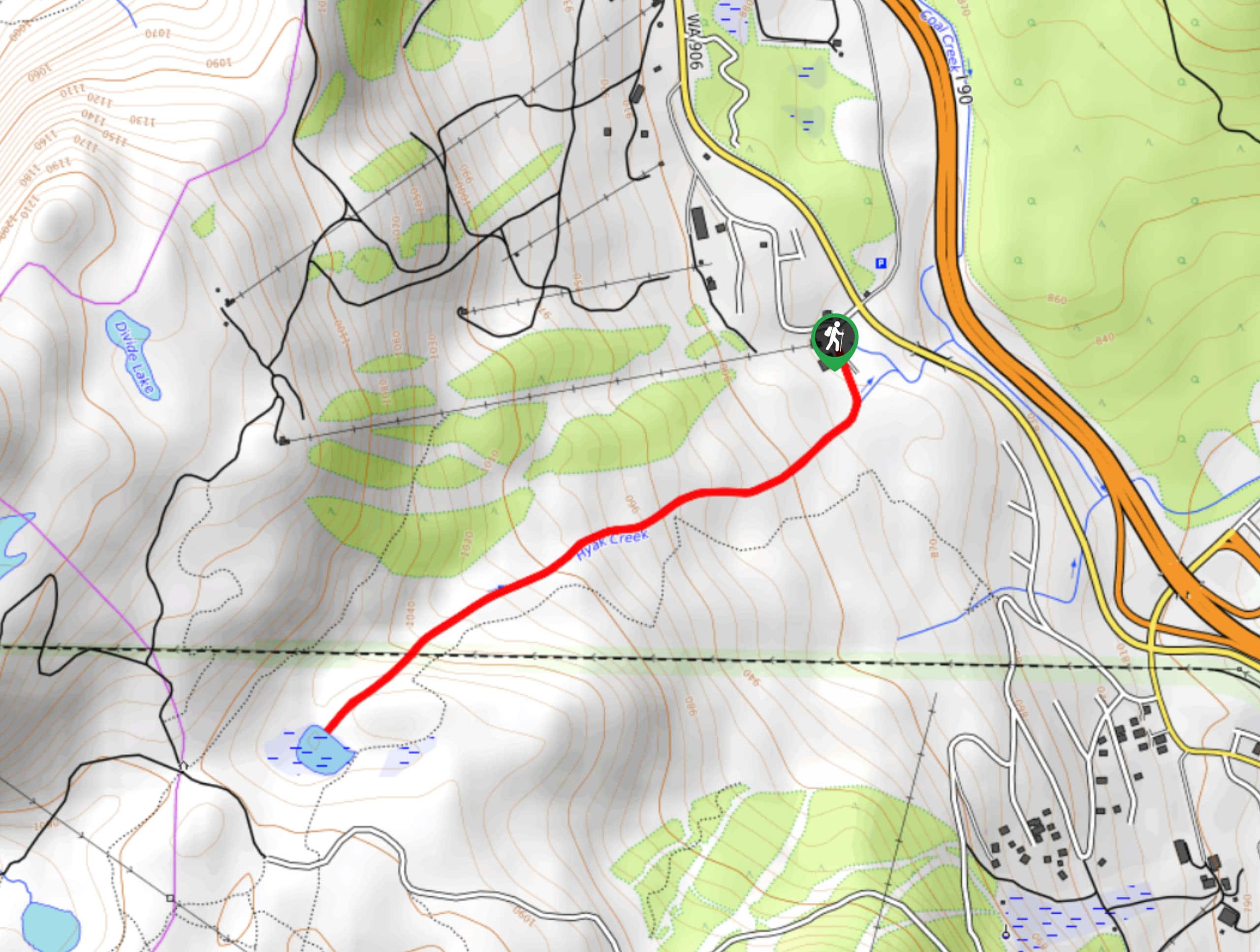
Hyak Creek Trail
Hyak Creek Trail is an easy 1.9mi trail in Mount Baker-Snoqualmie National Forest. This lightly trafficked trail is…
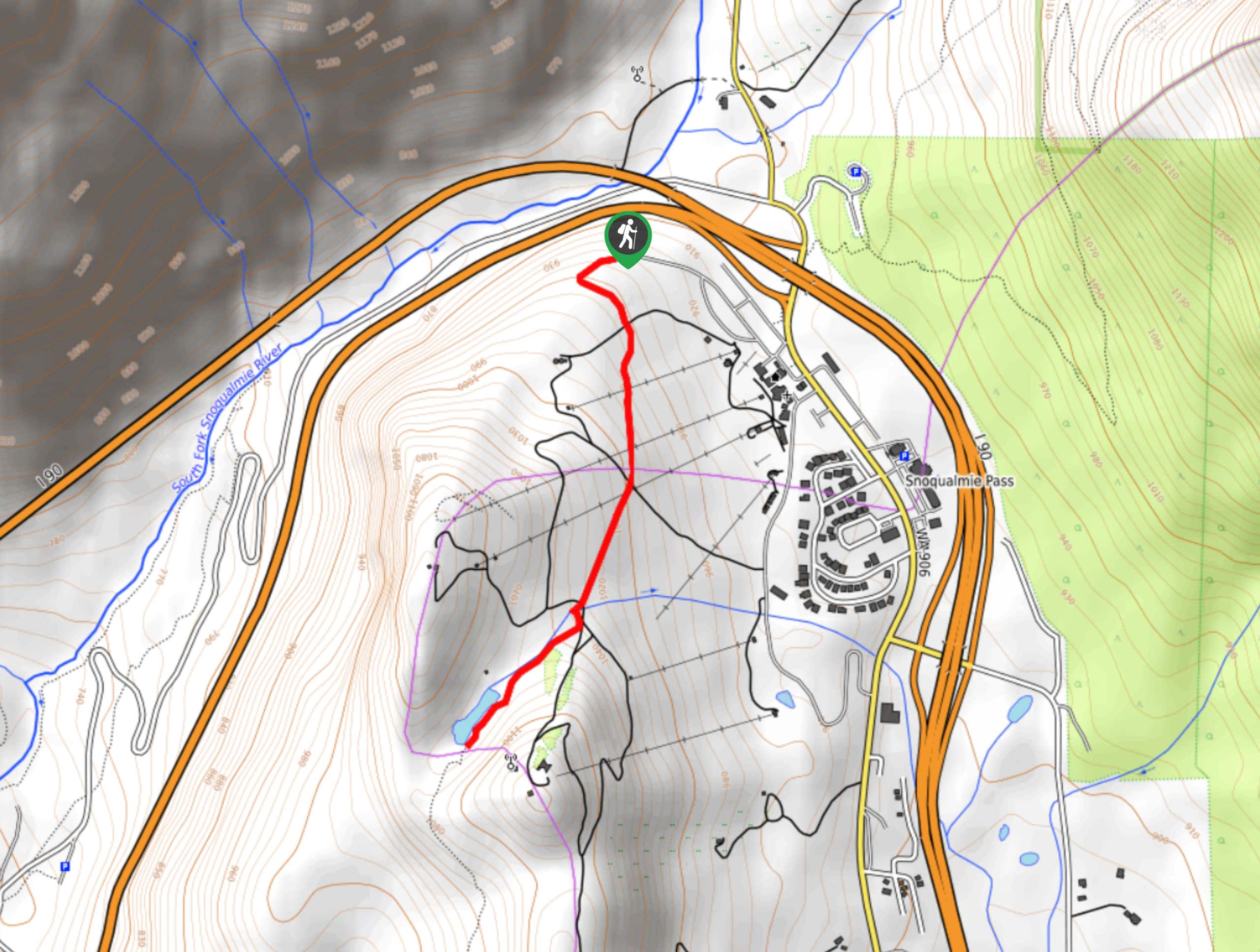
Stegosaurus Butte Trail
Stegosaurus Butte Trail is a lightly trafficked route that is only 1.9mi long, but that requires some climbing…
Beaver Lake Trail
Beaver Lake Trail is a quick, pretty hike in the Snoqualmie Pass area. This hike explores the ski area in…
Comments