Snoqualmie Valley Trail
View Photos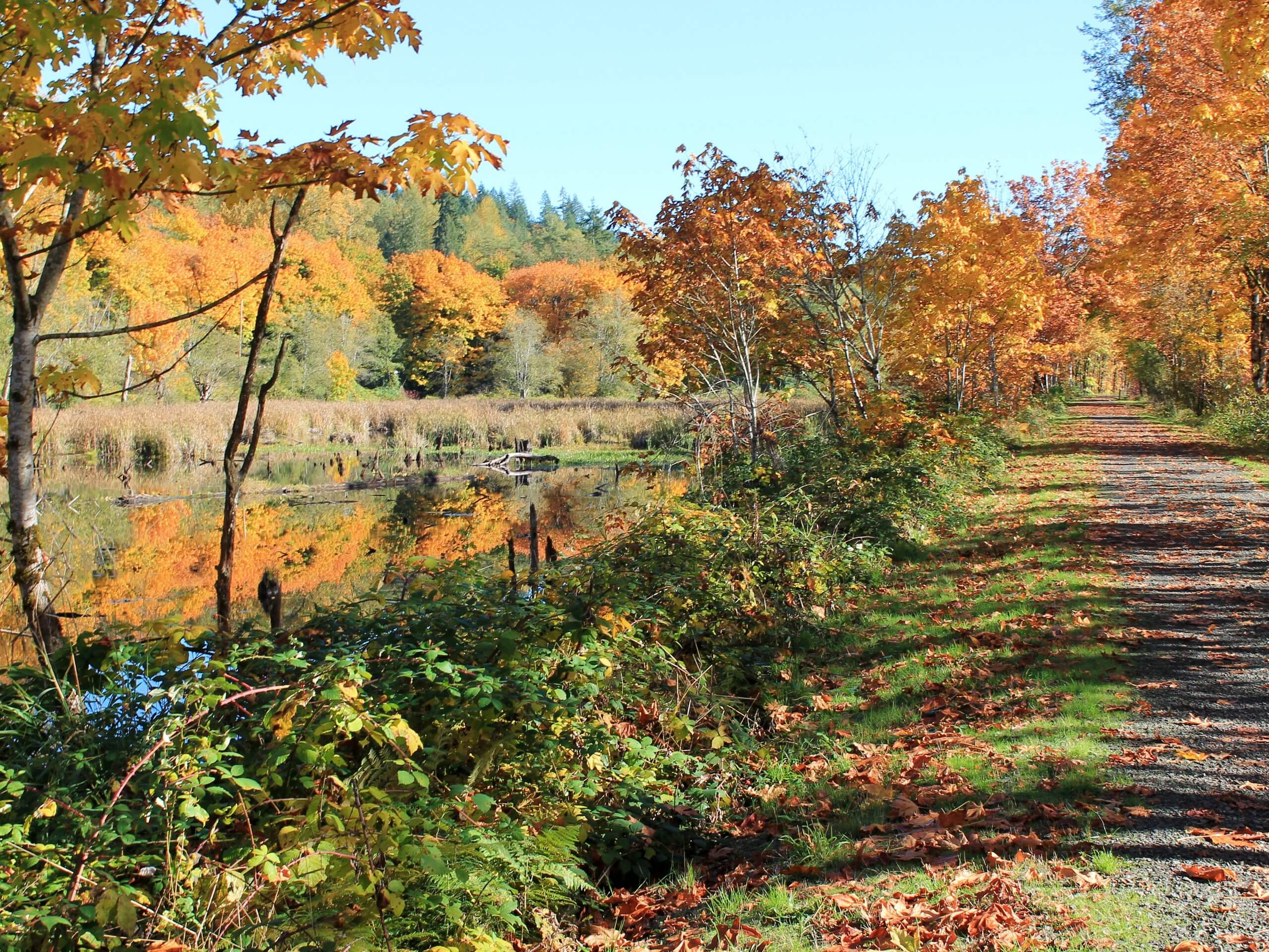
Snoqualmie Valley Trail
Difficulty Rating:
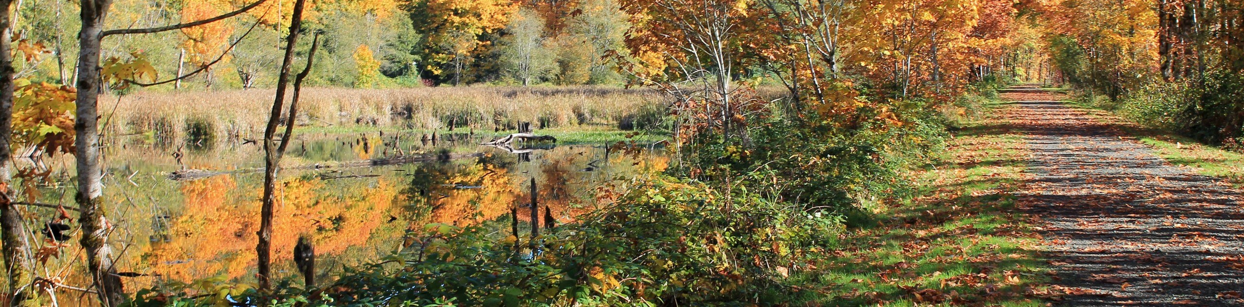
The Snoqualmie Valley Trail is a 18.4mi heavily trafficked point-to-point trail in Mount Baker-Snoqualmie National Forest that is rated as easy. This long walking, horseback riding, and biking trail stretches from Duvall in the north to Snoqualmie Falls in the south. Walk any portion of it for a very easy, simple nature walk.
There is a gun range on the Snoqualmie side of this trail that may spook skittish animals, dogs and horses alike.
Getting there
The Snoqualmie Valley Trail begins in Duvall in Depot Park, where there is parking, and ends near SE Tokul Road in Snoqualmie Falls, but you can pick up a section anywhere in between.

About
| Backcountry Campground | Camp Don Bosco |
| When to do | Year-round |
| Pets allowed | Yes - On Leash |
| Family friendly | Yes |
| Route Signage | Good |
| Crowd Levels | High |
| Route Type | One Way |
Snoqualmie Valley Trail
Elevation Graph
Weather
Snoqualmie Valley Trail Description
The Snoqualmie Valley Trail is a long, family-friendly walking trail that stretches from Snoqualmie Falls to Duvall. You can pick up any part of this trail for a nature walk. Bikes, trail runners, and horseback riders also frequent this route. It’s mostly packed gravel and flat, making it easy for all skill levels.
Riders and those with dogs should be aware of the gun range on the Snoqualmie side, which, obviously, can produce loud noises at times. Remember to keep your dogs on leash and give horses the right of way. Enjoy the wonderful views of the Snoqualmie River and have fun!
Similar hikes to the Snoqualmie Valley Trail hike
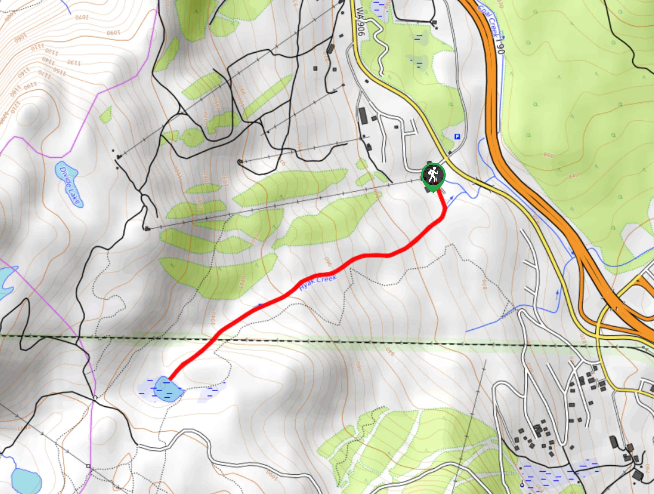
Hyak Creek Trail
Hyak Creek Trail is an easy 1.9mi trail in Mount Baker-Snoqualmie National Forest. This lightly trafficked trail is…
Stegosaurus Butte Trail
Stegosaurus Butte Trail is a lightly trafficked route that is only 1.9mi long, but that requires some climbing…
Beaver Lake Trail
Beaver Lake Trail is a quick, pretty hike in the Snoqualmie Pass area. This hike explores the ski area in…
Comments