
Snoqualmie Point Park Trail
View Photos
Snoqualmie Point Park Trail
Difficulty Rating:
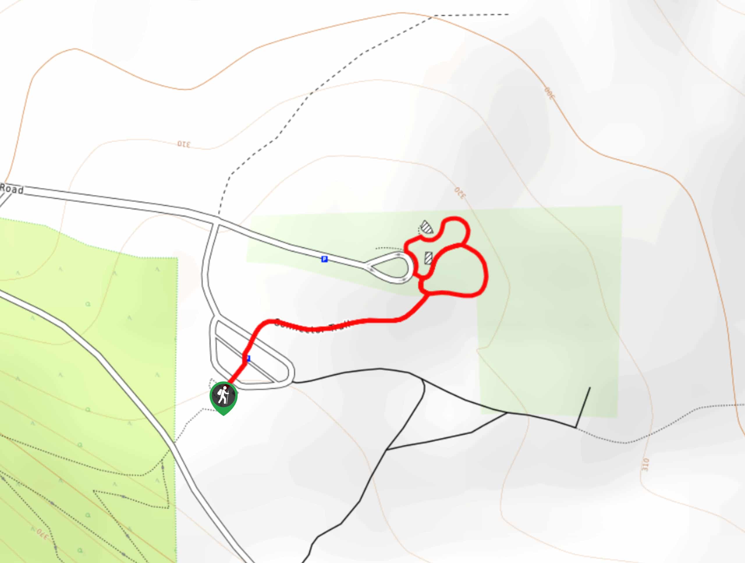
The Snoqualmie Point Park walk is a very short, easy, family-friendly lollipop walk around a viewpoint. This trail is 0.5mi long and lightly trafficked. It’s a good chance to stretch your legs or a nice side trip to add onto your adventures in the area.
Getting there
The trailhead for the Snoqualmie Point Park walk is at the Rattlesnake Mountain trailhead off Winery Road.

About
| Backcountry Campground | No |
| When to do | Year-round |
| Pets allowed | Yes - On Leash |
| Family friendly | Yes |
| Route Signage | Good |
| Crowd Levels | Low |
| Route Type | Lollipop |
Snoqualmie Point Park Trail
Elevation Graph
Weather
Snoqualmie Point Park Hike Description
The easy, short walk around Snoqualmie Point Park is a nice way to get some fresh air and is very kid-friendly. The walk begins from the Rattlesnake Mountain information area, heading to your left on the connector trail. Walk the viewpoint area, where you can stroll around the interconnecting trail and admire the view.
There are picnic tables near the trailhead if you’d like to extend your fun before heading out.
Similar hikes to the Snoqualmie Point Park Trail hike
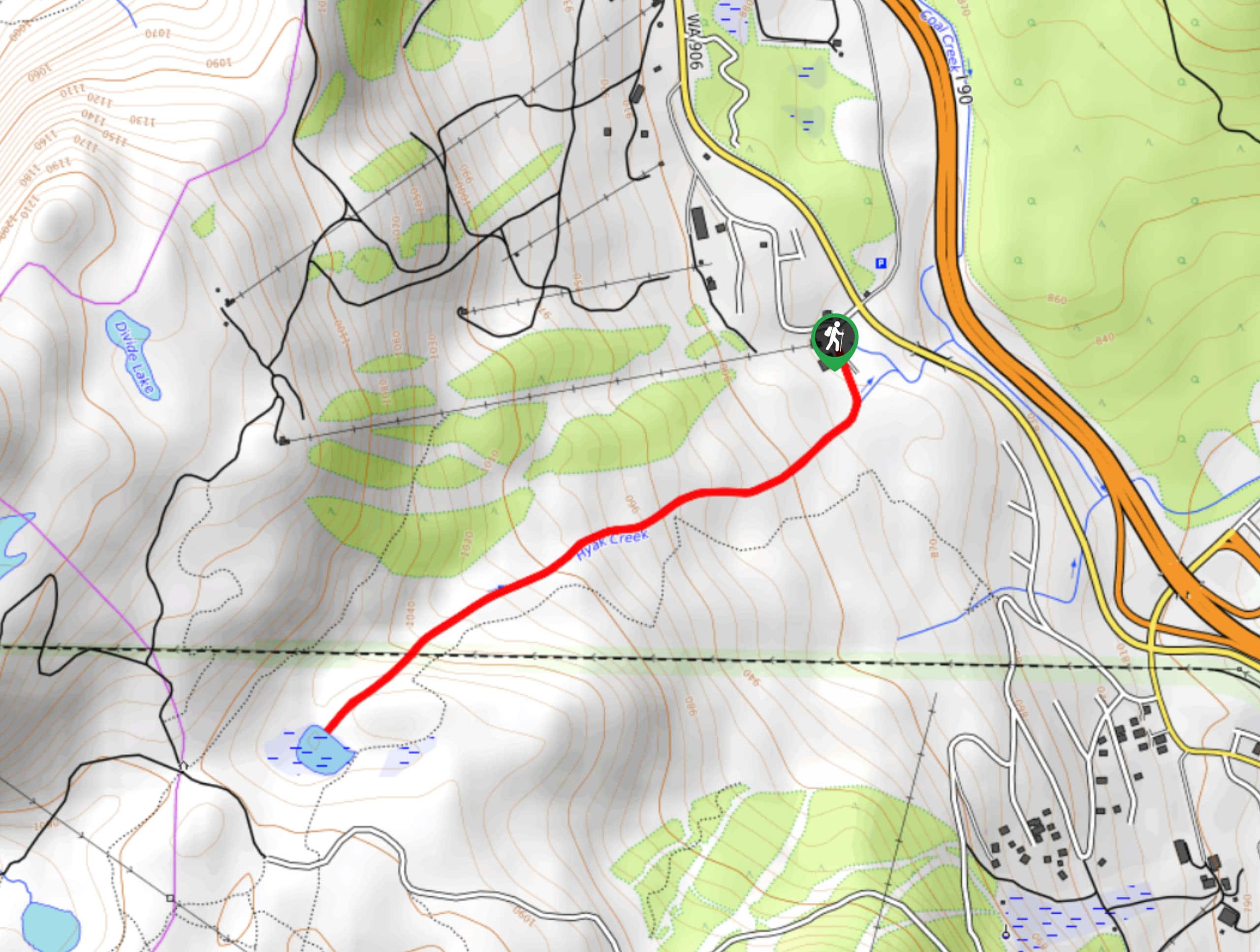
Hyak Creek Trail
Hyak Creek Trail is an easy 1.9mi trail in Mount Baker-Snoqualmie National Forest. This lightly trafficked trail is…
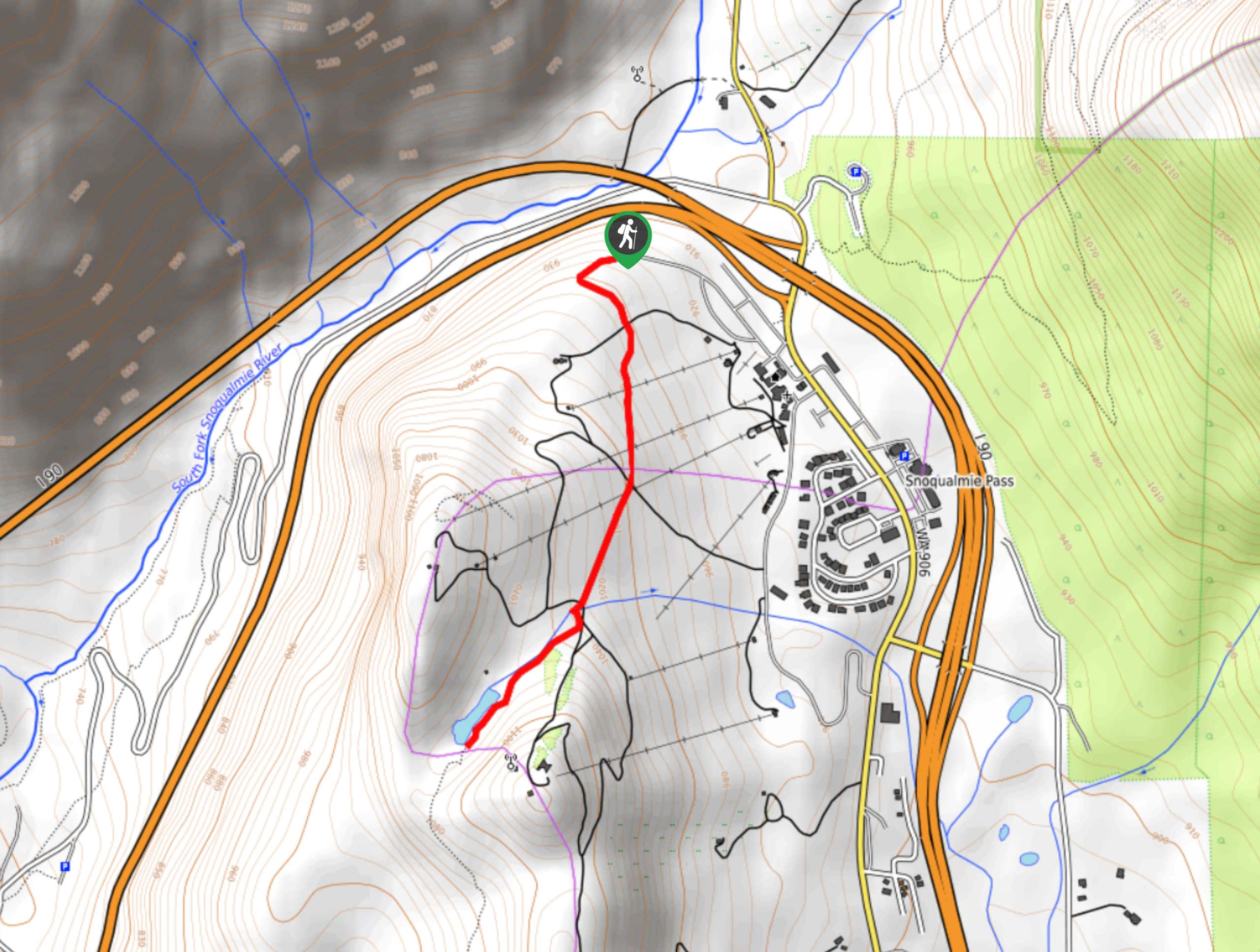
Beaver Lake Trail
Beaver Lake Trail is a quick, pretty hike in the Snoqualmie Pass area. This hike explores the ski area in…
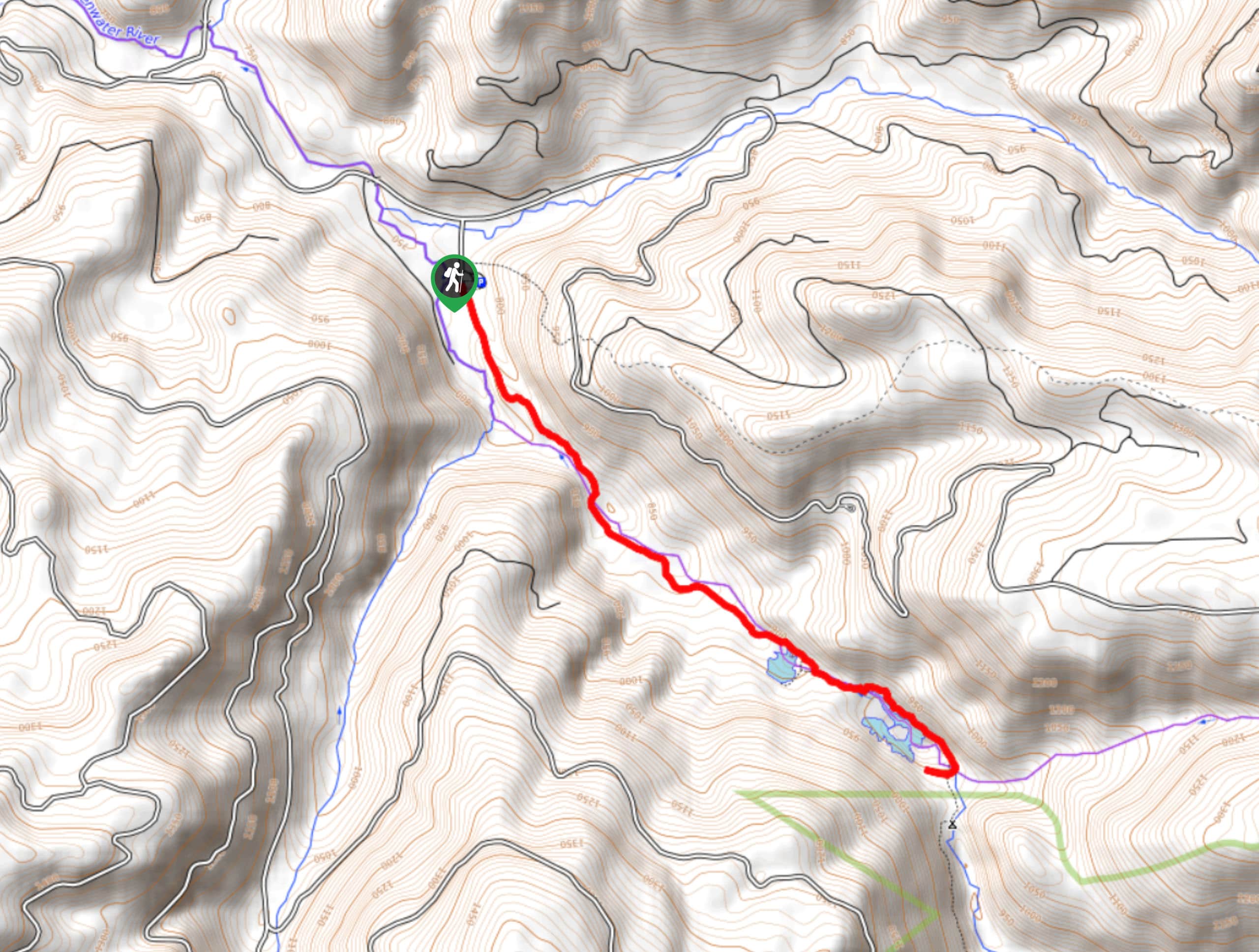
Greenwater Lakes Trail
Greenwater Lakes Trail is a heavily trafficked trail that is rated as easy. This route only involves 492ft…
Comments