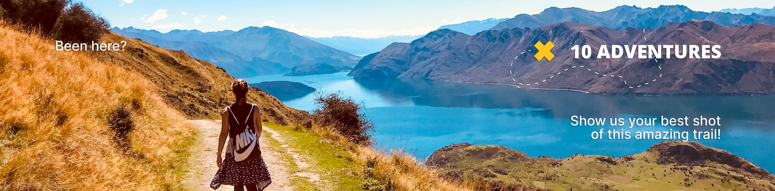
Snoqualmie Lake Trail
View Photos
Snoqualmie Lake Trail
Difficulty Rating:
Snoqualmie Lake Trail is a moderately trafficked 15.0mi hike with pretty waterfalls, good mountain views, and a nice lake that’s perfect to camp at if you want to backpack. At 2343ft elevation gain required, this is a harder hike that will take most day-trippers a full day. Bring lots of water but expect a trail that’s easy to follow.
Getting there
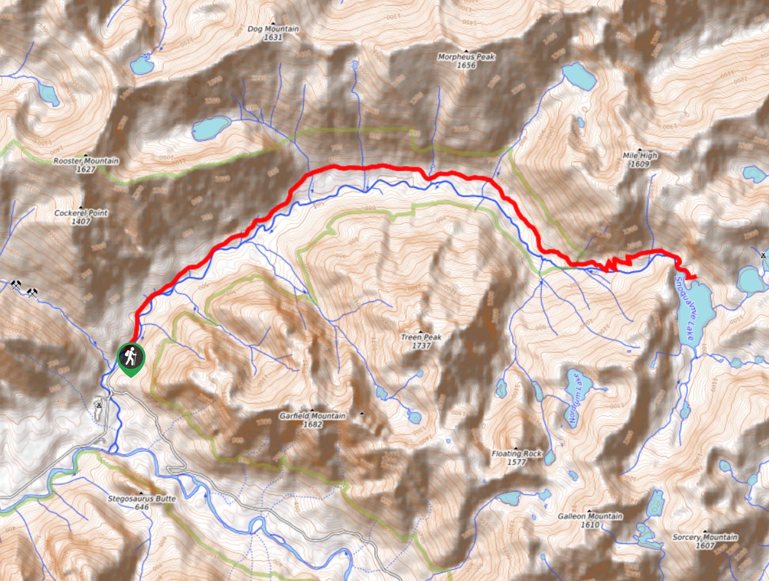
The trailhead for the Snoqualmie Lake Trail hike is at the end of National Forest Development Road 5640 north of Middle Fork Campground.

About
| Backcountry Campground | Snoqualmie Lake Backcountry |
| When to do | July-October |
| Pets allowed | Yes - On Leash |
| Family friendly | No |
| Route Signage | Average |
| Crowd Levels | Moderate |
| Route Type | Out and back |
Snoqualmie Lake Trail
Elevation Graph
Weather
Snoqualmie Lake Trail Description
Snoqualmie Lake Trail is a fantastic way to spend a day in nature. The first part of this hike is quite easy, and then you’ll get your sweat in on the approach to Snoqualmie Lake. You can do this as a full day hike or you can make use of one of the camping spots by the lake to make a weekend of it. Otter Falls along the way is a great addition to the hike.
Begin north of the campground at the end of the forest road, crossing Taylor River on Snoqualmie Lake Trail. The trail soon splits; keep right. Hike alongside the river on a very moderate trail, crossing Marten Creek and continuing on to where Otter Falls Trail heads up to your left.
It’s a very short jaunt up to see the falls, so we definitely recommend it. From here, hop back down to the main trail and continue east. The trail eventually splits again with Nordrum Lake Trail going to your right. Stay left here.
The climbing begins as you approach the lake, switchbacking up to get over the ridge that hides the lake. Once you’re there, you can explore as much of the lakeshore as you like before retracing your steps back to the trailhead.
Similar hikes to the Snoqualmie Lake Trail hike

Lakes Dorothy, Bear, Deer, and Snoqualmie Hike
The Lakes Dorothy, Bear, Deer, and Snoqualmie Hike provides access to Lake Dorothy, Bear Lake, Deer Lake, and Snoqualmie Lake.…

Gold Creek Trail to Joe Lake
Gold Creek Trail to Joe Lake is not a hike for the faint of heart. This lightly trafficked trail is…

Basin Lake via Bullion Basin Trail
Basin Lake via Bullion Basin Trail is a 12.2mi hike that, with 2900ft of elevation gain,…
Comments