Mount Sawyer via Tonga Ridge Trail
View Photos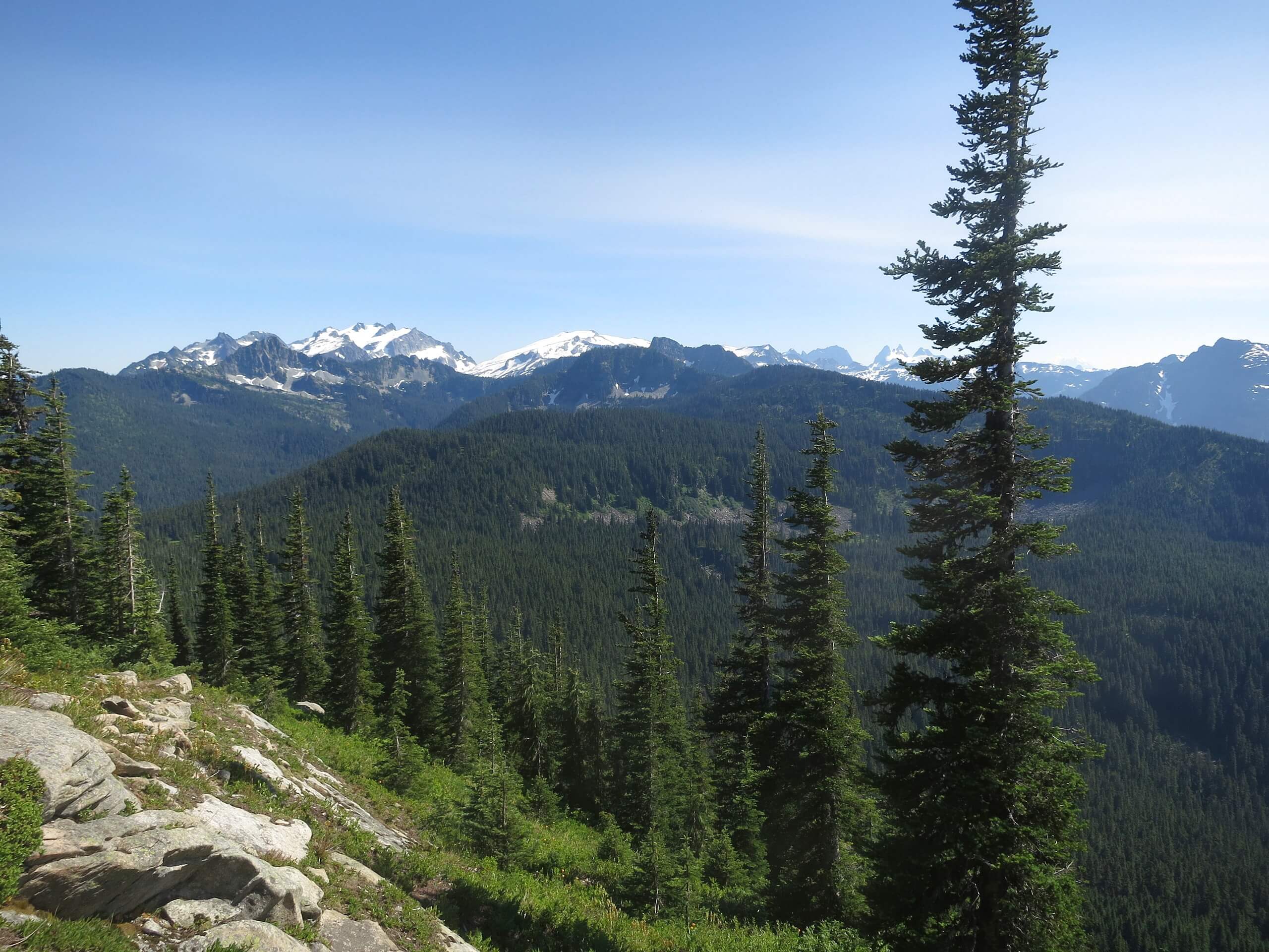
Mount Sawyer via Tonga Ridge Trail
Difficulty Rating:
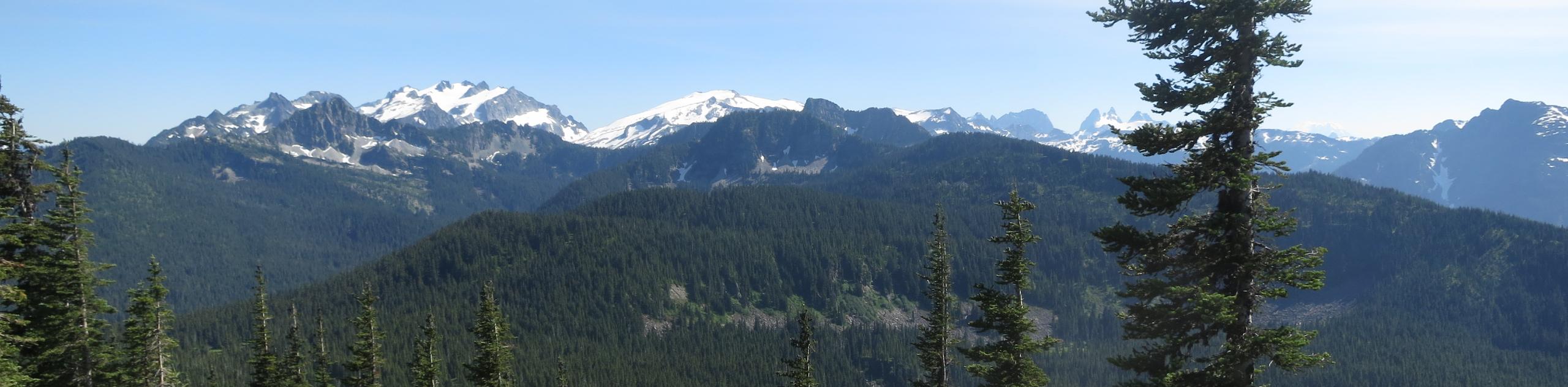
Mount Sawyer via Tonga Ridge Trail is a 5.6mi hike in Mount Baker-Snoqualmie National Forest. This hike gets you up on a little summit with less than 1640ft of elevation gain, and the trail doesn’t tend to be too busy. There are some loose, steep, dry sections where poles are recommended. The bugs on this trail can also be bothersome, so bring potent spray.
Getting there
The trailhead for Mount Sawyer via Tonga Ridge Trail is at the end of FR 310.

About
| Backcountry Campground | No |
| When to do | July-October |
| Pets allowed | Yes - On Leash |
| Family friendly | Older Children only |
| Route Signage | Average |
| Crowd Levels | Moderate |
| Route Type | Out and back |
Mount Sawyer via Tonga Ridge Trail
Elevation Graph
Weather
Mount Sawyer via Tonga Ridge Trail Description
Mount Sawyer is an easy little peak to climb, the entire mountain possible in less than 6.2mi. The trail has a bit of a steep finish with some loose rock and plenty of too-friendly mosquitoes, but other than that, it’s a straightforward route.
Begins from the parking area at the end of the road. Tonga Ridge Trail is usually well-maintained and easy to follow. It’s a straight shot to the foot of the mountain, with the vast majority of the elevation gain happening from the base of the mountain to the top.
Where the trail forks, keep left onto Mount Sawyer Trail. You’ll have a couple of wide switchbacks to help you up the mountain, but poles are still a help as you approach the top.
After enjoying the views, simply return to the trailhead on the same trail you came up on.
Similar hikes to the Mount Sawyer via Tonga Ridge Trail hike

Lakes Dorothy, Bear, Deer, and Snoqualmie Hike
The Lakes Dorothy, Bear, Deer, and Snoqualmie Hike provides access to Lake Dorothy, Bear Lake, Deer Lake, and Snoqualmie Lake.…

Gold Creek Trail to Joe Lake
Gold Creek Trail to Joe Lake is not a hike for the faint of heart. This lightly trafficked trail is…

Basin Lake via Bullion Basin Trail
Basin Lake via Bullion Basin Trail is a 12.2mi hike that, with 2900ft of elevation gain,…
Comments