Melmont Ghost Town via Foothills Trail
View Photos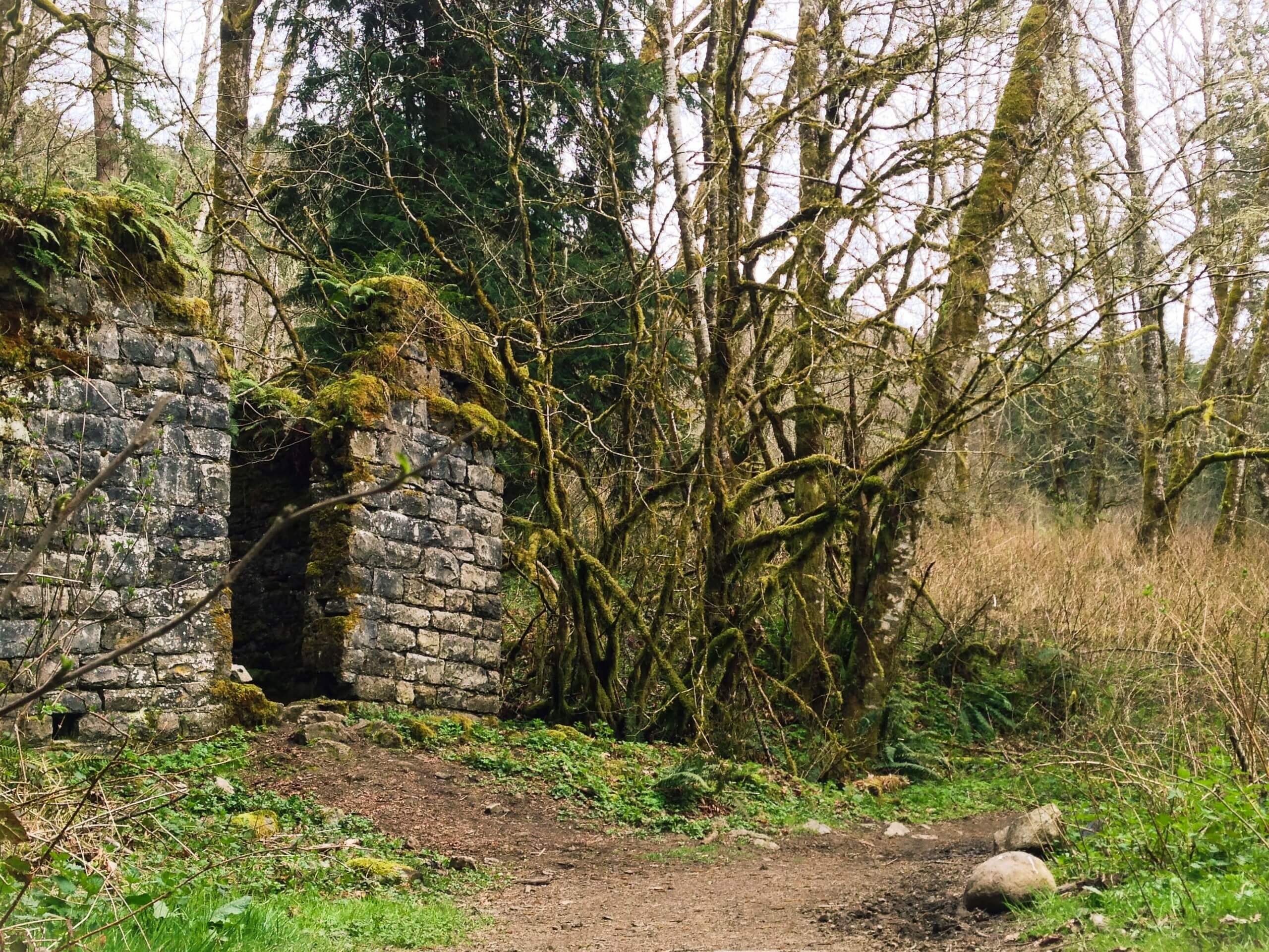
Melmont Ghost Town via Foothills Trail
Difficulty Rating:
The Melmont Ghost Town via Foothills Trail hike is a heavily trafficked out-and-back hike near Carbonado that is rated as easy. The Foothills Trail is a nice walk, and what remains of the Melmont Ghost Town (mostly just a few small structures) can be accessed on this trail. You’ll have a high vantage point over the river, but note that there is one short, steep section to contend with to reach it.
Getting there
The Foothills Trail begins off Mowich Lake Road where it crosses the river north of the merge with Carbon River Road.

About
| Backcountry Campground | No |
| When to do | March-November |
| Pets allowed | Yes - On Leash |
| Family friendly | Yes |
| Route Signage | Average |
| Crowd Levels | High |
| Route Type | Out and back |
Melmont Ghost Town via Foothills Trail
Elevation Graph
Weather
Melmont Ghost Town via Foothills Trail Description
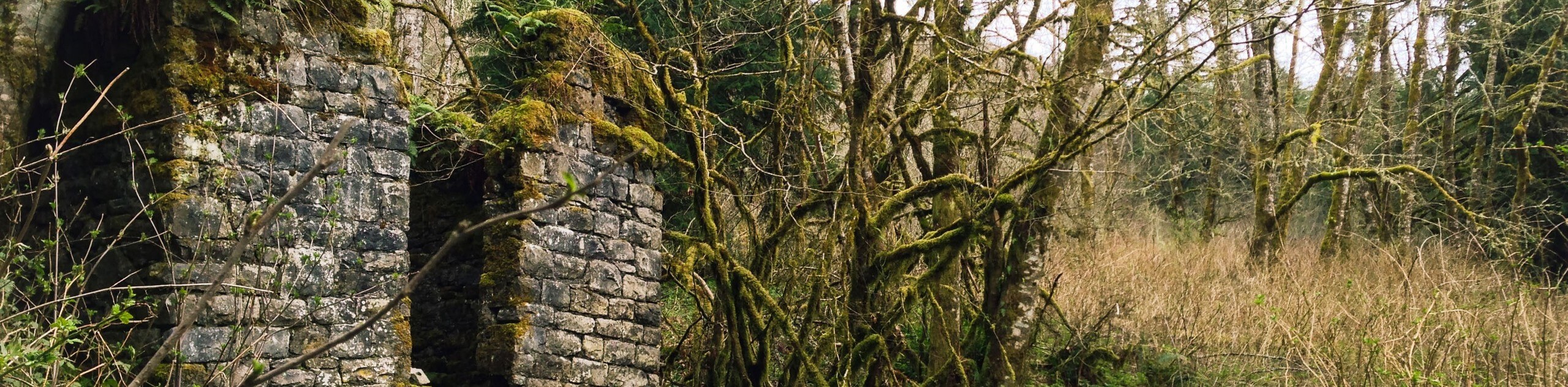
The hike to Melmont Ghost Town on Foothills Trail is a pleasant walk through a mossy forest and down a steep, cable-assisted trail to a vantage point over the river. What’s left of the Melmont Ghost Town might be too generously called a “town” as it’s no more than a few small rusted structures, but this is still a fun trail if you’re in the area.
The hike begins where the road crosses the Carbon River. Hike roughly south with the river on your right. You’ll mostly hug the river, but stay high above it, descending a steep cable-assisted trail next to the bridge.Look for a small hidden waterfall.
Turn around where the trail terminates near a small road and retrace your steps.
Similar hikes to the Melmont Ghost Town via Foothills Trail hike
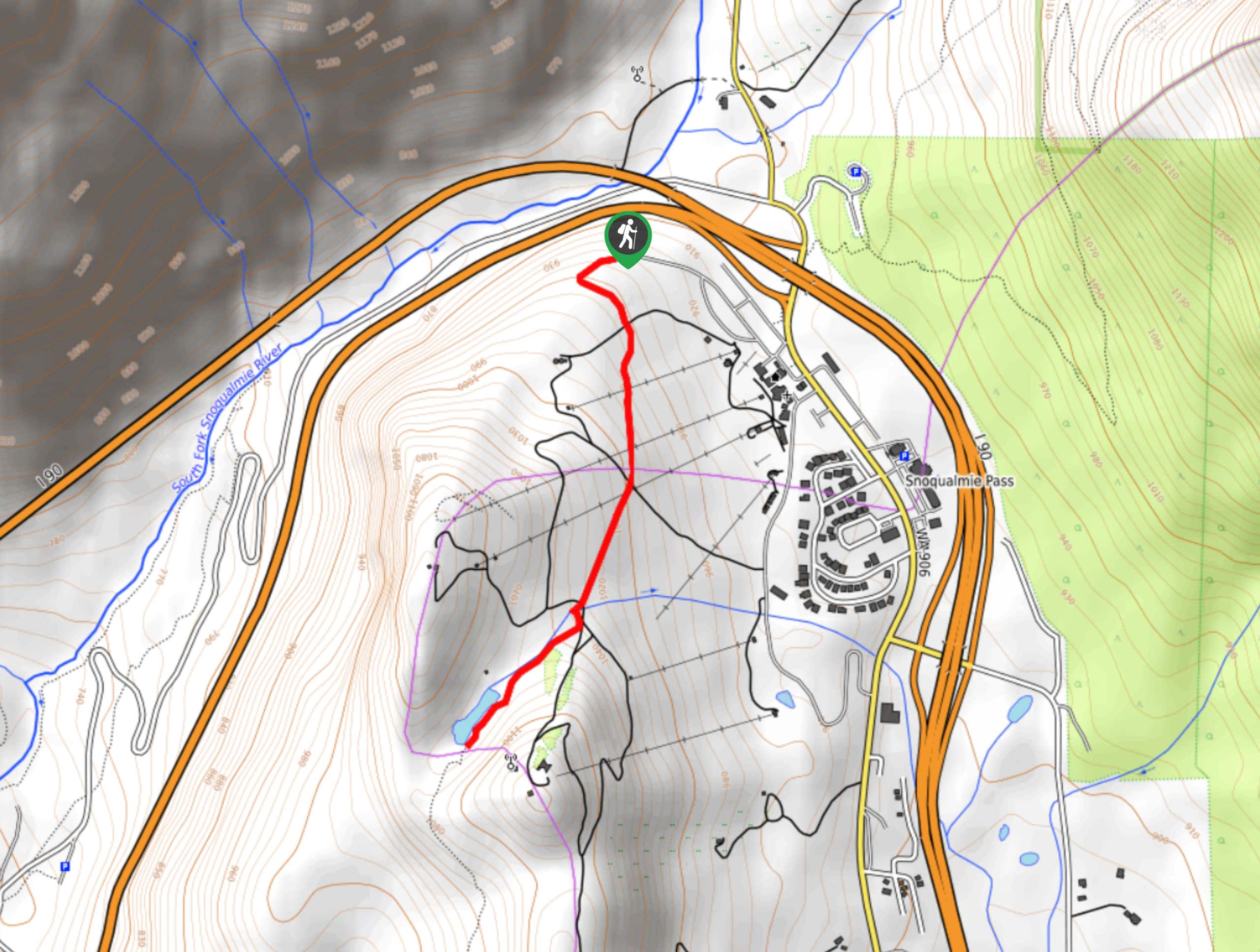
Hyak Creek Trail
Hyak Creek Trail is an easy 1.9mi trail in Mount Baker-Snoqualmie National Forest. This lightly trafficked trail is…
Stegosaurus Butte Trail
Stegosaurus Butte Trail is a lightly trafficked route that is only 1.9mi long, but that requires some climbing…
Beaver Lake Trail
Beaver Lake Trail is a quick, pretty hike in the Snoqualmie Pass area. This hike explores the ski area in…
Comments