Dingford Creek Trail
View Photos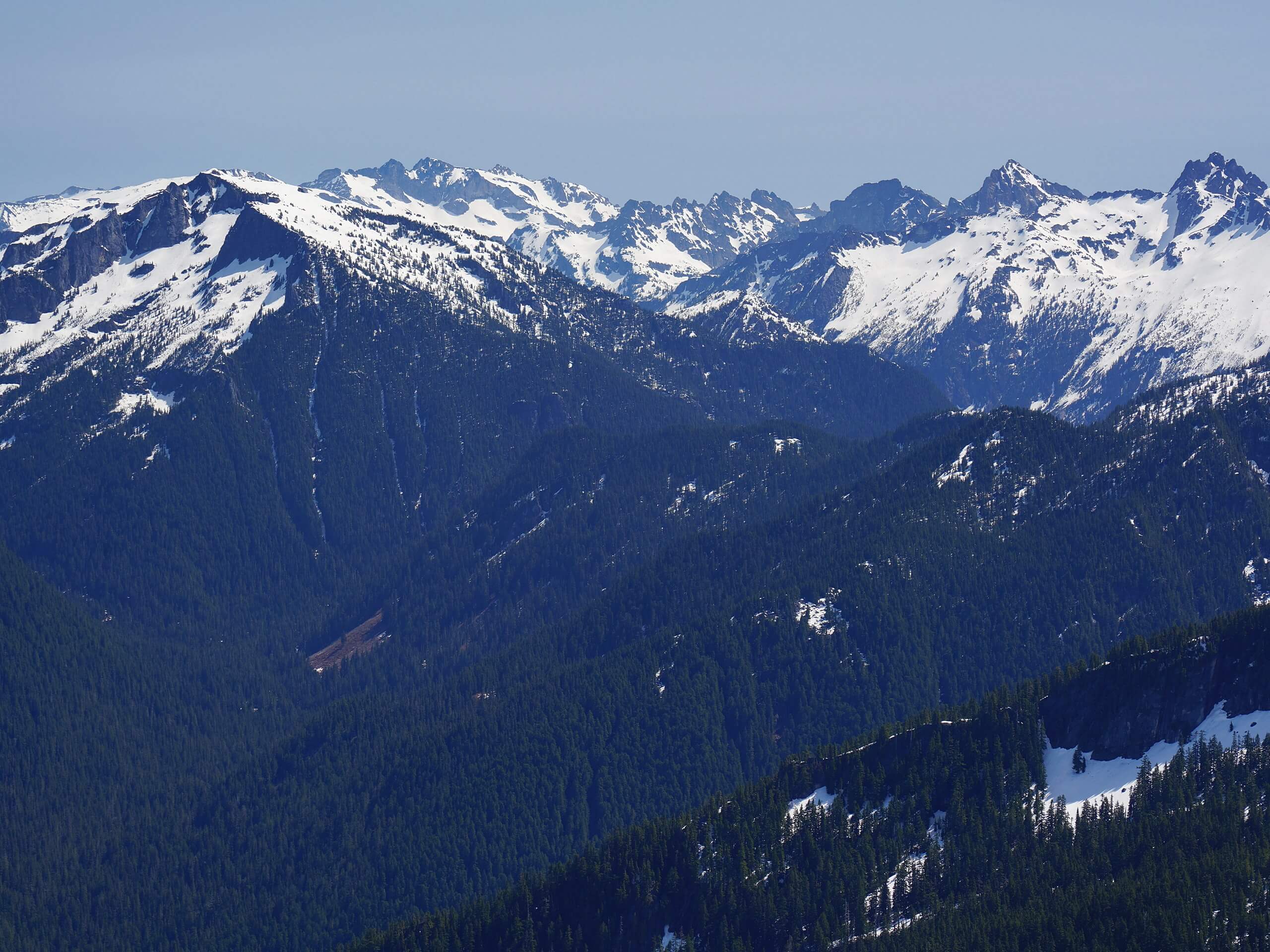
Dingford Creek Trail
Difficulty Rating:
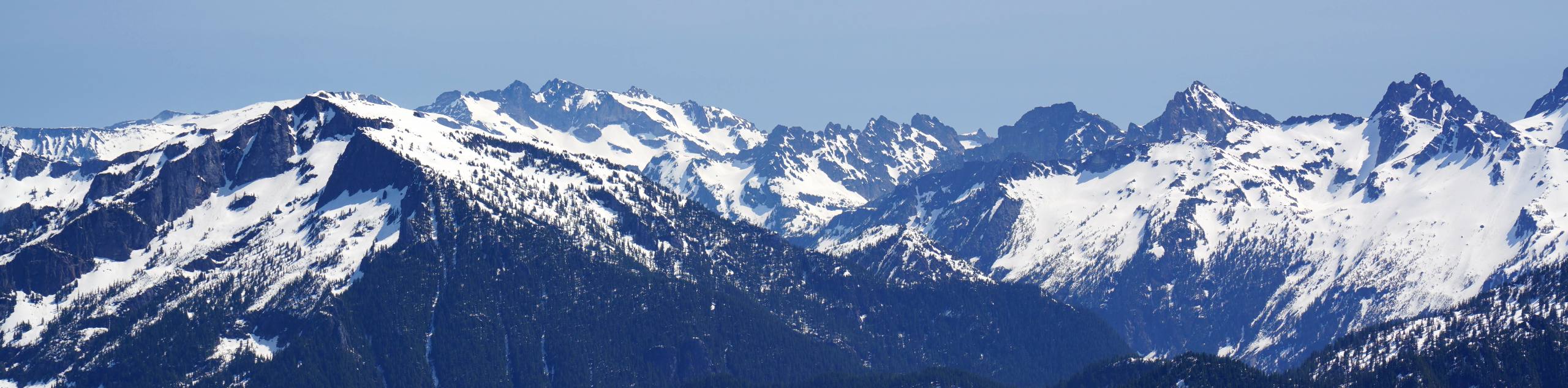
Dingford Creek Trail is a lightly trafficked trail that offers a bit of adventure for those who tackle it. This trail doesn’t see much traffic, so you’ll have some solitude, but you’ll need to deal with a bit of a rougher trail to enjoy it. Some love this trail and some find the view through the long valley stretch underwhelming, but try it yourself and see what you think.
The road to the trailhead is in terrible shape, and we do not recommend trying it unless you’re in a very capable high-clearance vehicle.
Getting there
The trailhead for the Dingford Creek Trail is at the Dutch Miller Gap trailhead at the end of National Forest Development Road 5620.

About
| Backcountry Campground | Middle Fork Backcountry Camping |
| When to do | July-November |
| Pets allowed | Yes - On Leash |
| Family friendly | Older Children only |
| Route Signage | Average |
| Crowd Levels | Low |
| Route Type | Out and back |
Dingford Creek Trail
Elevation Graph
Weather
Dingford Creek Trail Description
Dingford Creek Trail offers a long walk through a vibrant forest with a healthy dose of solitude. If you’re okay with a sketchy access road, a bit of a rougher trail, and a consistent view throughout, definitely give this hike a try.
The trail begins from the Dutch Miller Gap trailhead. Watch for Dingford Creek Falls as you start out on Dingford Creek Trail. Follow the creek to Pumpkinseed Creek Falls, crossing over here to begin a stretch through the valley with numerous creek crossings.
The trail continues through to where Hester Lake Trail intersects. Stay left here. It’s fairly level until you start to get closer to Myrtle Lake, where you’ll do a little bit of switchbacking to reach the foot of the lake.
From here, retrace your steps back to the trailhead. You can continue on Little Myrtle Lake Trail a short distance if you want to check out one more lake before leaving.
Similar hikes to the Dingford Creek Trail hike

Lakes Dorothy, Bear, Deer, and Snoqualmie Hike
The Lakes Dorothy, Bear, Deer, and Snoqualmie Hike provides access to Lake Dorothy, Bear Lake, Deer Lake, and Snoqualmie Lake.…

Gold Creek Trail to Joe Lake
Gold Creek Trail to Joe Lake is not a hike for the faint of heart. This lightly trafficked trail is…

Basin Lake via Bullion Basin Trail
Basin Lake via Bullion Basin Trail is a 12.2mi hike that, with 2900ft of elevation gain,…
Comments