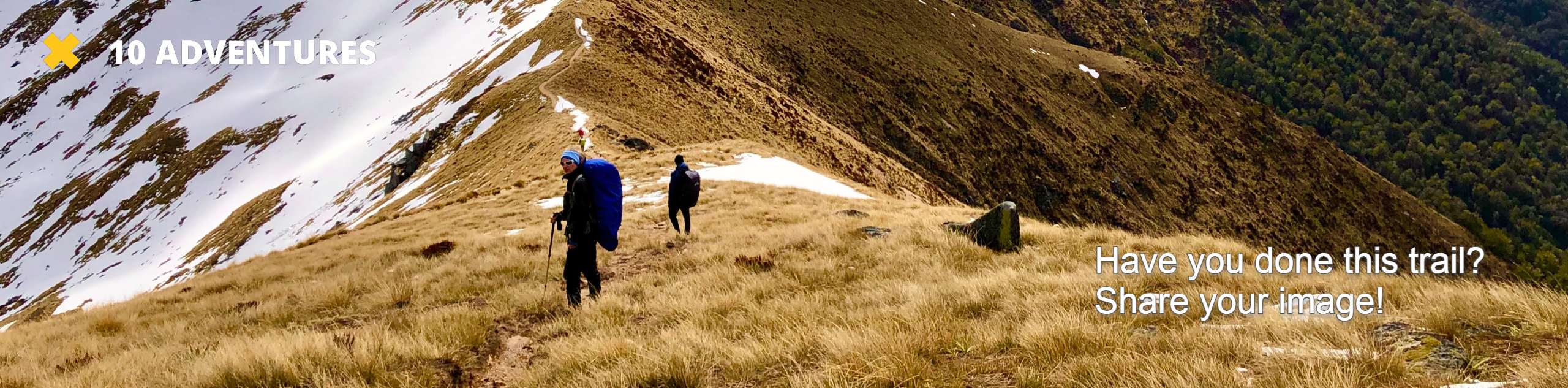
Coal Mines Trail
View Photos
Coal Mines Trail
Difficulty Rating:
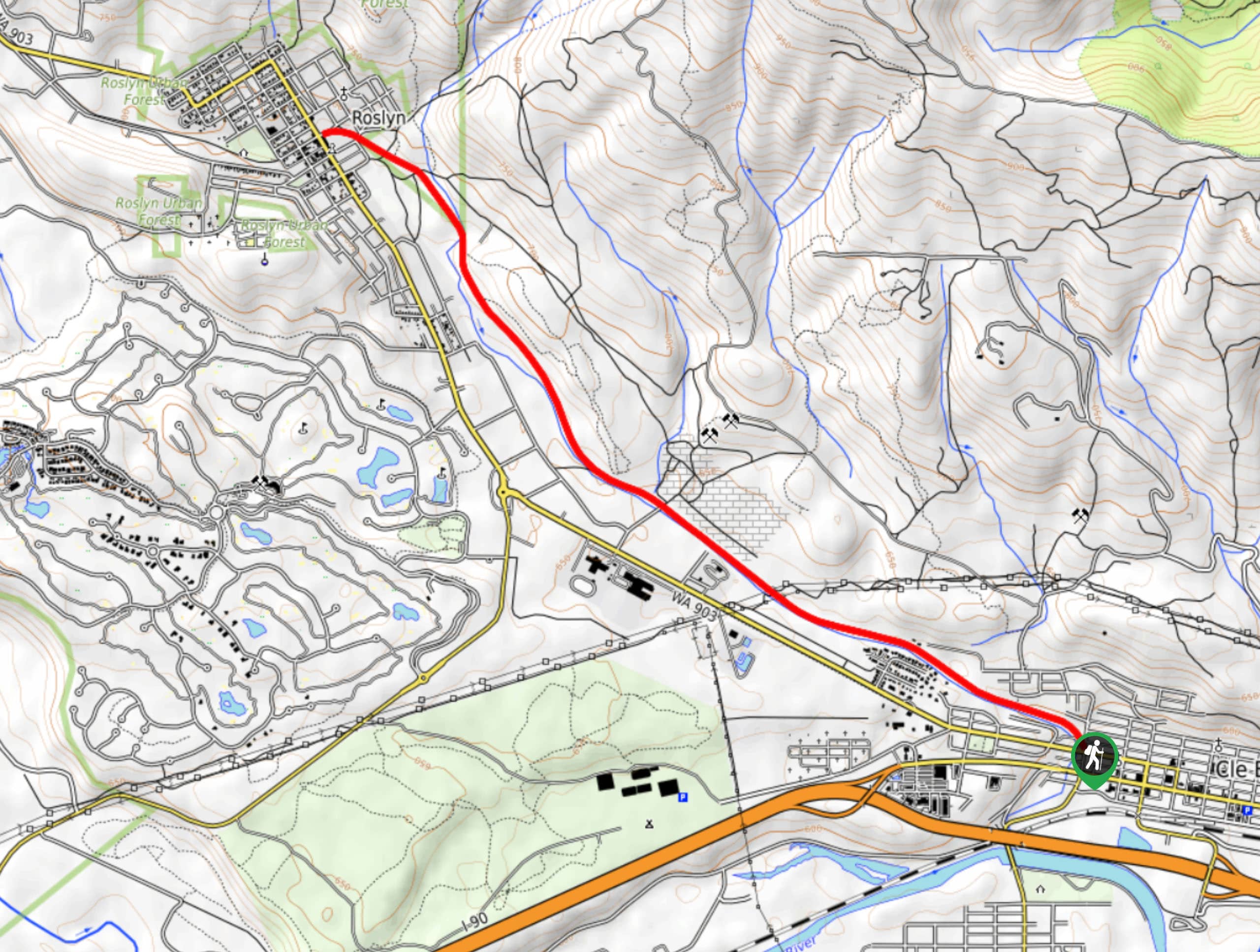
The Coal Mines Trail stretches 6.3mi between Roslyn and Cle Elum, offering many opportunities for recreation. Hikers along this trail will feel more like walkers with its flat nature, but for a walk in nature that doesn’t feel far from town, this is a good pick. Keep dogs on leash and watch for bikes and horses, remembering to give equestrians the right of way where possible.
Getting there
The trailhead for the Coal Mines Trail is in Cle Elum at 2nd Street and Stafford.

About
| Backcountry Campground | No |
| When to do | Year-round |
| Pets allowed | Yes - On Leash |
| Family friendly | Yes |
| Route Signage | Average |
| Crowd Levels | Moderate |
| Route Type | Out and back |
Coal Mines Trail
Elevation Graph
Weather
Coal Mines Trail Description
The Coal Mines Trail is more of a town-to-town nature walk than a true hike, but that doesn’t mean you can’t have a lovely day on it. This flat, even pathway is surrounded by pretty trees and a stream. Expect bikes, horses, runners, and walkers to all be sharing the trail.
From the trail’s start in Cle Elum, follow the wide gravel pathway. Before leaving, check out the informational sign that talks about the mines here in days past.
It’s a straight shot to Roslyn, which has a historic cemetery and some cute shops and cafes. Of course, you don’t need to go the entire way—feel free to turn around and head back into town whenever you’ve had your fill.
Similar hikes to the Coal Mines Trail hike
Hyak Creek Trail
Hyak Creek Trail is an easy 1.9mi trail in Mount Baker-Snoqualmie National Forest. This lightly trafficked trail is…
Stegosaurus Butte Trail
Stegosaurus Butte Trail is a lightly trafficked route that is only 1.9mi long, but that requires some climbing…
Beaver Lake Trail
Beaver Lake Trail is a quick, pretty hike in the Snoqualmie Pass area. This hike explores the ski area in…
Comments