
The Authion hike
View Photos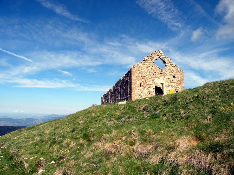
The Authion hike
Difficulty Rating:
This hike is an ideal walk for the history buff in your family. The Authion has been long considered the keystone of the defensive system for the Alpes–Maritimes: from 1388 all the way up to WW2. On your hike you can see an American tank from 1945 on display.
Getting there
If you are leaving from or through Sopsel, head to the Col de Turini, famous for the Monte Carlo Rally, then you’ll continue on the right to the Authion. After 4km you arrive at Cabane de Tueis, where you can park your car.

About
| When to do | April to end of October |
| Backcountry Campsites | Yes, on the site, or in Sospel, Moulinet, La Bollene, or Lantosque |
| Toilets | Yes, at Gite d'Etape and bar, Col de Turini |
| Family friendly | Yes |
| Route Signage | Average |
| Crowd Levels | Moderate |
| Route Type | Circuit |
The Authion
Elevation Graph
Weather
Route Description for The Authion
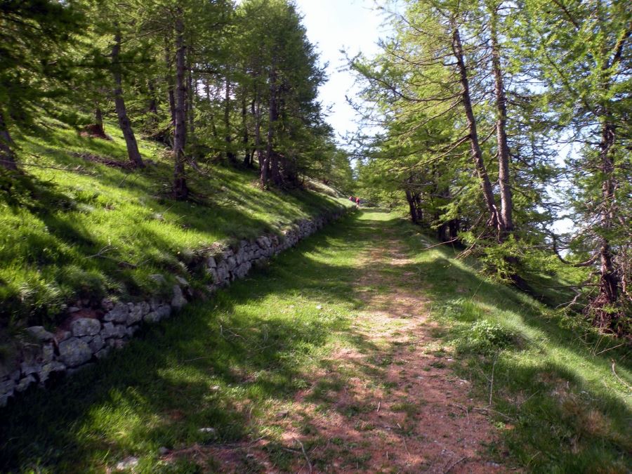
The paved road is divided into two, and you want to take the road that rises to the left and continues for 1.2mi. You can admire the panorama to the South, the Côte d’Azur, and the Provence mountains.
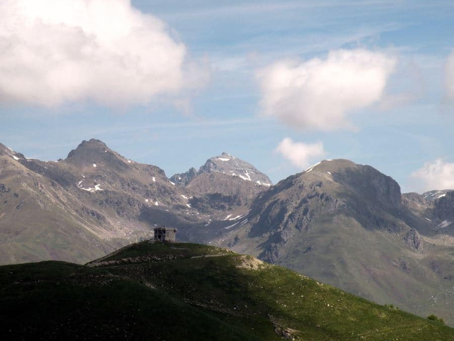
After 1.2mi, you will come to a pass where there is a low building. Take a right on the trail that heads into the larches towards the Mille Fourches Fort, which you will reach in less than half an hour.
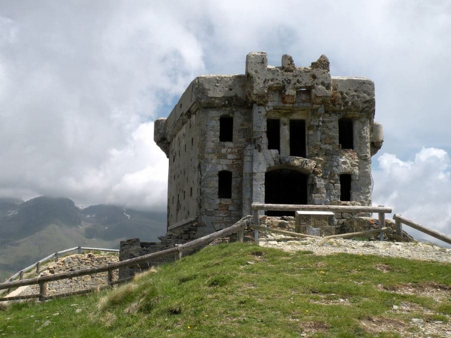
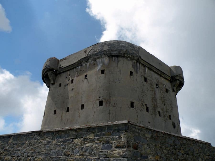
The Fort, built at the end of the 19th century, was restored in the ‘30s with two reinforced concrete posts. From the fort you can enjoy a wonderful view of the Alpes Maritimes, the Ligurian Alps, and the French Riviera.
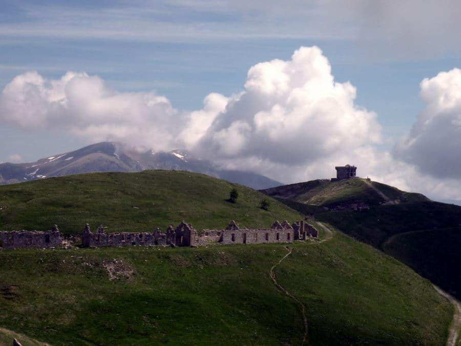
Go back towards the low building, and take the military road on your left that, with a gentle slope and long bends, climbs up to Fort La Forca, which is Mille Fourches twin structure. Just below the fort there are the barracks that once hosted garrisons all year long.
From the highest point you can enjoy the view on the Reducte des Trois Communes, the symbol of the Authion fortifications. You can also see the Hautes Alps and the tops of the Valley of Wonders, the Grand Capelet and the Bego.
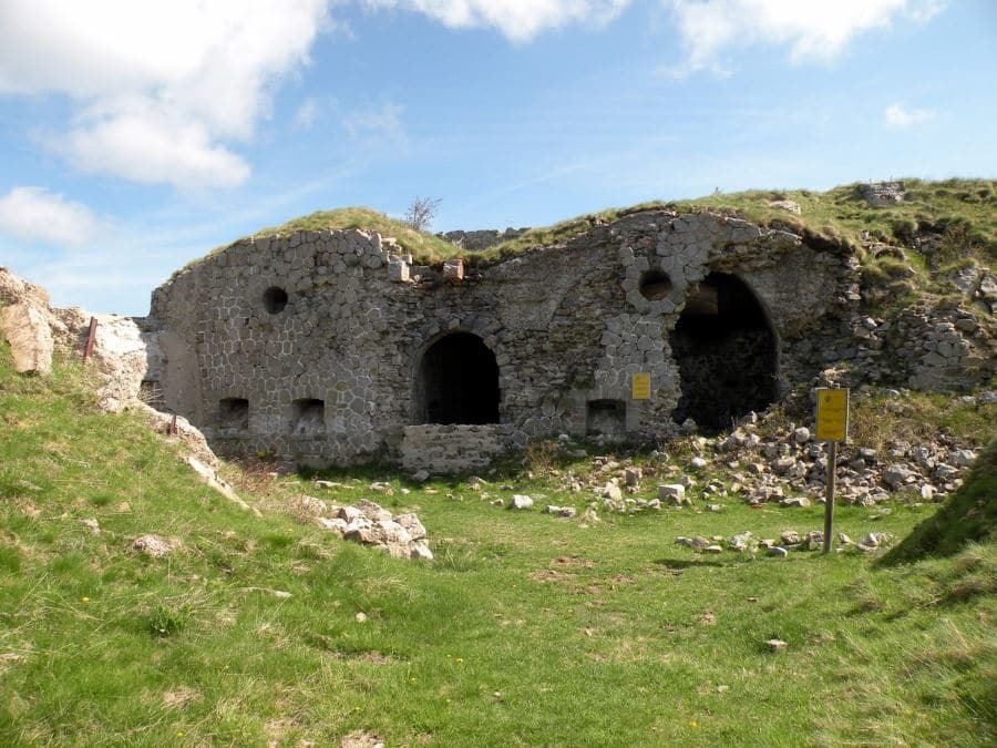
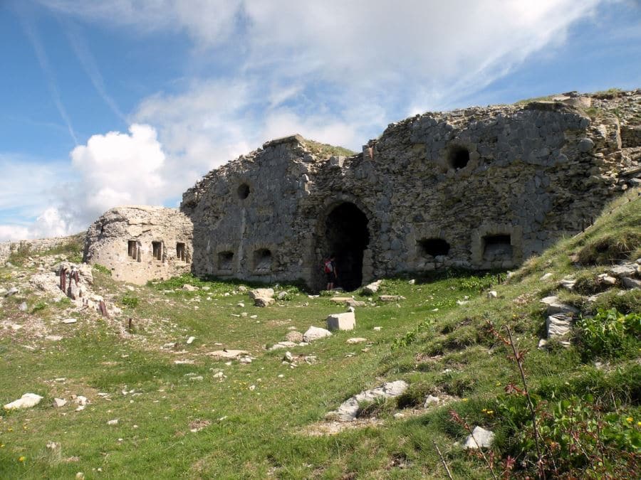
Continue along the crest and reach a path, with a signalling pole. Continue on the right until you reach the Reducte des Trois Communes, passing by the barracks.
La Redoute was built in 1898; it once housed 50 men and controlled the access from the Roya Valley. In 1945, during the war, it was damaged.
On the South slopes, 328ft below, is the Plan Caval defensive system, with trenches and bunkers from the 19th and 20th centuries.
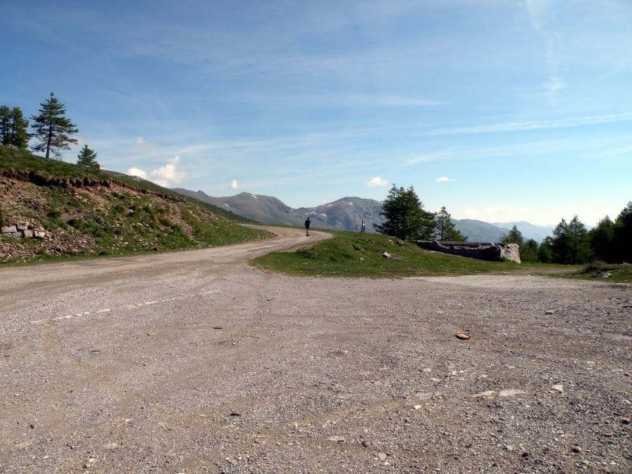
From La Redoute turn back you’ll reach a familiar junction on the pass. Continue straight, to the west on the crest. You’ll reach the parking lot in less than 30 minutes.
Insider Hints
If you arrive from Nice, visit the nice village of La Bollene Vesubie. If it’s a hot day their outdoor pool has an amazing backdrop. Not a bad way to escape the heat.
If you arrive from Menton visit Sospel. They have a beautiful 800-year-old bridge, and a charming little cinema.
Check out Les Trois Vallees or Hotel Les Chamois if you’re looking for a place to stay. Both hotels come highly rated, aren’t overly fancy, and are full of local spirit.

Similar hikes to the The Authion hike
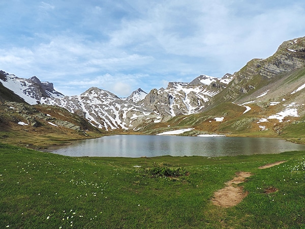
Lauzanier
The wonderful hike to Lauzanier has a stunning landscape, which is courtesy of the glaciers that carved the Lauzanier valley.…
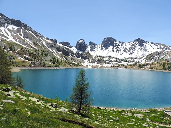
Lac d’Allos
One of the easiest and most beautiful hikes in Mercantour National Park. You’ll get superb views of the Lac d’Allos,…
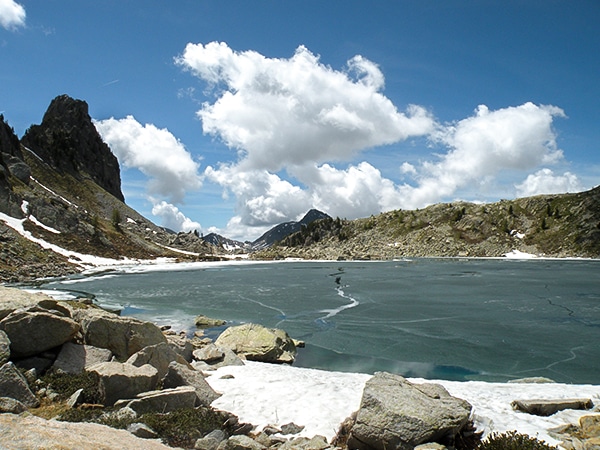
La Lac Nègre
This hike is a classic. "La Lac Nègre" is yours to discover all 12 hectares of this magnificent lake surrounded…
Antoanette Lavroutte 4 years ago
This Hike is giving me Game of Thrones Vibe. I'm mesmerized.
TeddyBear 4 years ago
A quiet and impressive hike with very beautiful landscape
Rolando Acciaio 4 years ago
The family enjoyed the hike and it took 4 hours from us to achieve
Felix Legrand 4 years ago
Such a beautiful place to be and great views
Vincent V. 4 years ago
Amazing place with lovely scenery and remarkable history!
Mina P. 5 years ago
We really enjoyed this rip. Amazing place with good scenery and remarkable history. Wonderful photo spots.
Mercury Q. 5 years ago
You can visit the beautiful village of La Bollene Vesubie. If it’s a hot day you should definitely try their outside pool. Not a bad way to escape the heat.
Cole Anx. 5 years ago
It was a really charming place. Makes me wonder about the different lives I had in my past life.
Abraham W. 5 years ago
Interesting place! Ideal walk for the family. You can see an American tank from 1945 on display. There are the barracks that once hosted garrisons all year long.
Ramesh Patel 5 years ago
Great photo spots! Nice and easy. Interesting in every way!