Beinn Luibhean Walk
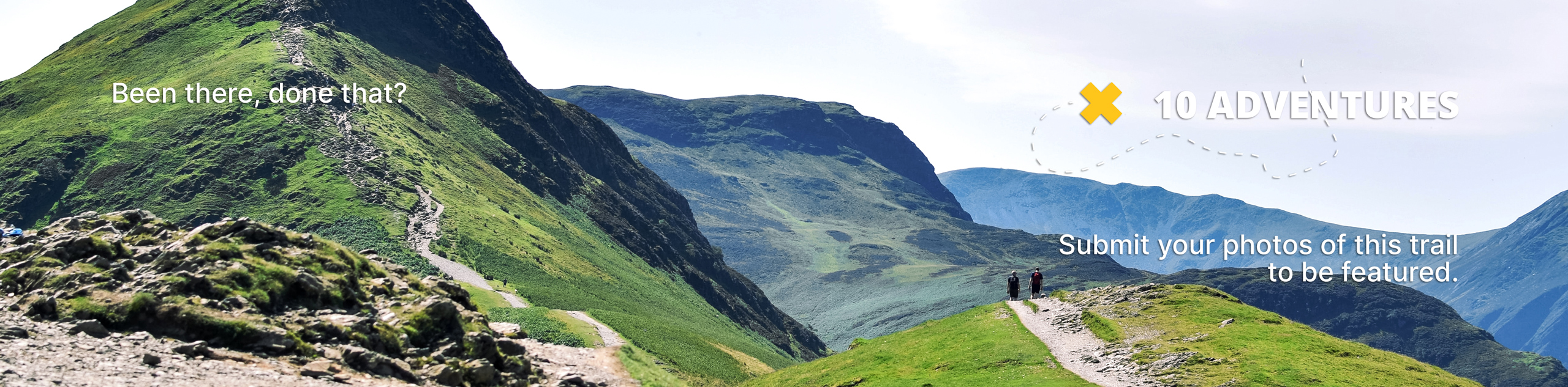
View Photos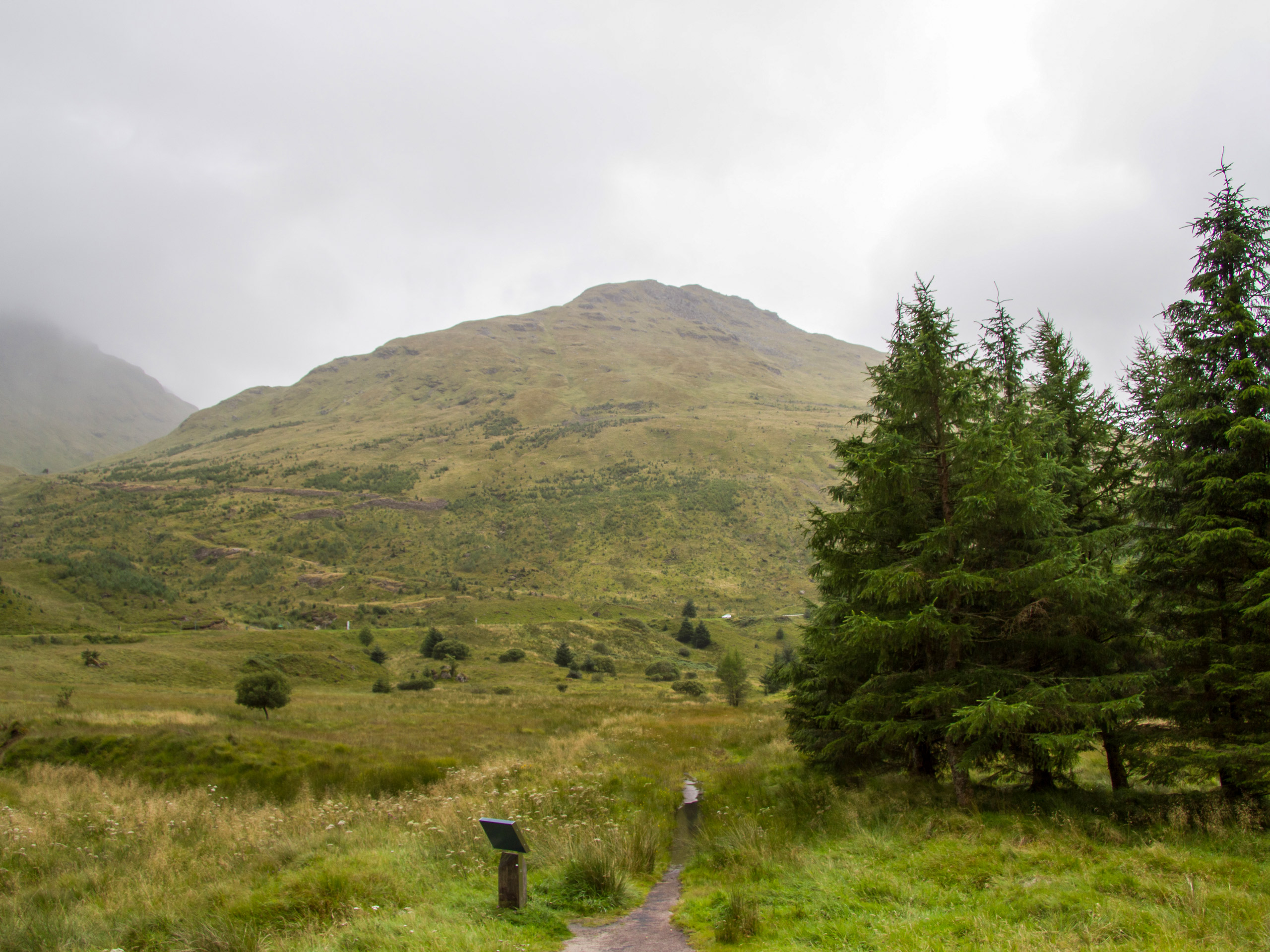
Beinn Luibhean Walk
Difficulty Rating:
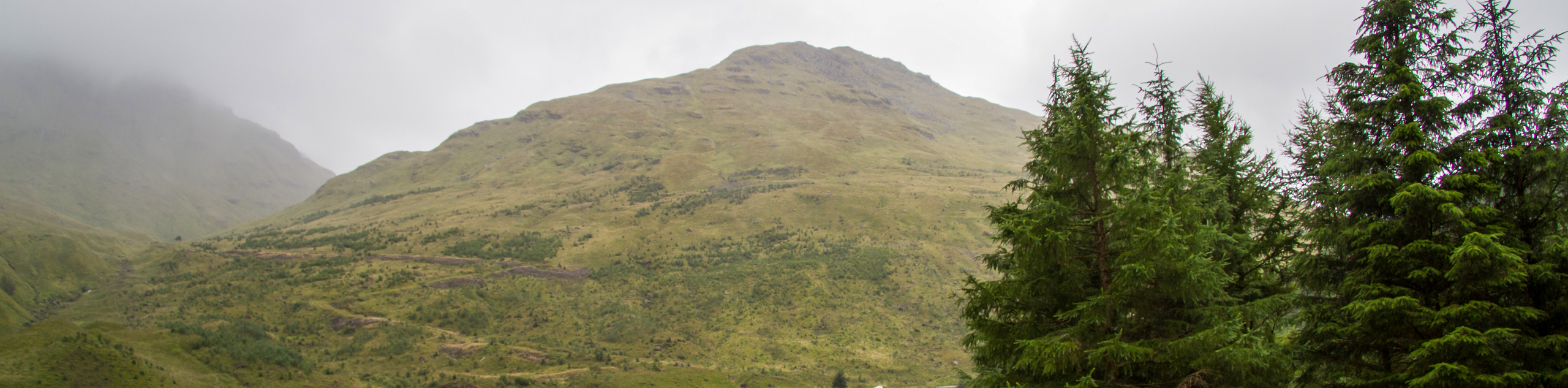
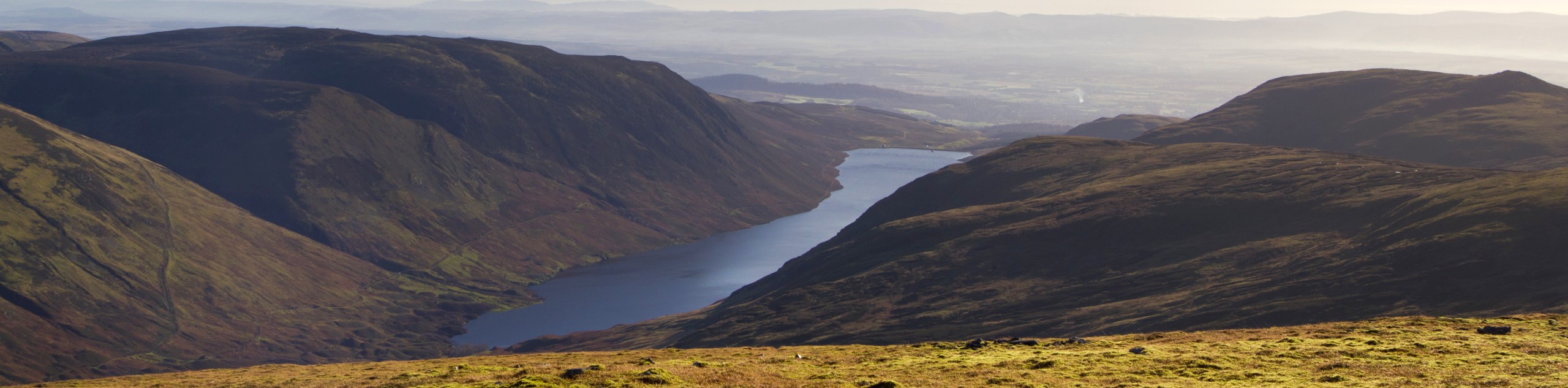
Some may overlook Beinn Luibhean due to its position next to its towering neighbour, Beinn Ìme; however, this hill features a swift, challenging ascent and fabulous views across the Arrochar Alps, making it a walk well-worth adding to your list! The ascent features a pleasant, albeit steep, climb up grassy slopes with a lovely stretch from midway up the Rest and Be Thankful Pass. Panoramic views from the summit at 2211ft invite hillwalkers to enjoy a natural canvas painted by Loch Restil, Beinn an Lochain, The Cobbler, and of course, the highest mountain in the Arrochar Alps, Beinn Ìme.
Getting there
To get to the Beinn Luibhean Walk from Crianlarich, take the A82 headed south towards Inverarnan, continuing 16.0mi before turning right onto the A83. Continue on the A83 until you locate the small car park off the north side, just below the bridge above the Croe Water. The walk begins from the car park.

About
| When to do | Year-Round Access |
| Backcountry Campsites | No |
| Pets allowed | Yes |
| Family friendly | No |
| Route Signage | Average |
| Crowd Levels | Moderate |
| Route Type | Out and back |
Beinn Luibhean Walk
Elevation Graph
Weather
Beinn Luibhean Walk Description
The Beinn Luibhean Walk is an excellent opportunity to tackle one of Scotland’s Corbett mountains and experience the might and majesty of the Arrochar Alps. This is a great, moderate hillwalk, ideal for those looking to work their way up towards climbing one of Beinn Luibhean’s taller neighbours. The walk unfolds on a mostly pathless course, up the grassy slopes of Beinn Luibhean to reach the summit at 2211ft. Although the ascent is relatively short, it’s a steep climb that features some boggy sections, so proper waterproof footwear is recommended.
The walk commences from the parking area off the A83 and begins by passing through the gate found at the back of the car park and then crossing the bridge above the burn. Pick up the path that veers left from here, passing through one more gate before embarking on an ascent of the hillside. The sprawling, grassy slopes of Beinn Luibhean’s south ridge await as you continue uphill towards the summit, enjoying the incredibly spectacular views that unfold around you. A small plateau forms the summit of the peak and opens to incredible views all the way down to Loch Restil and out towards The Cobbler, Beinn Narnain and Beinn Ìme. Revel in the fresh mountain air and congratulate yourself for reaching the summit before descending via the same route, retracing your steps to return to the car park.
Similar hikes to the Beinn Luibhean Walk hike
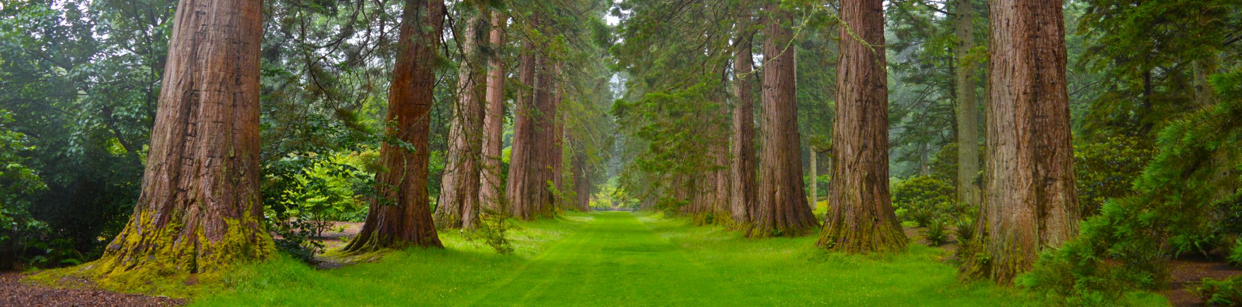
Big Tree Walk
The Big Tree Walk is a lovely 1.6mi, waymarked forest trail beside the Benmore Botanic Gardens. The route…
Arrochar Caves Walk
The Arrochar Caves Walk, found in Arrochar, UK, is a 2.8mi trail that leads through a scenic forest,…
Ben Chonzie Walk
The Ben Chonzie walk invites hillwalkers to venture up the highest summit in the immediate area to reach an exciting…
Comments