Beinn an Lochain Walk
View Photos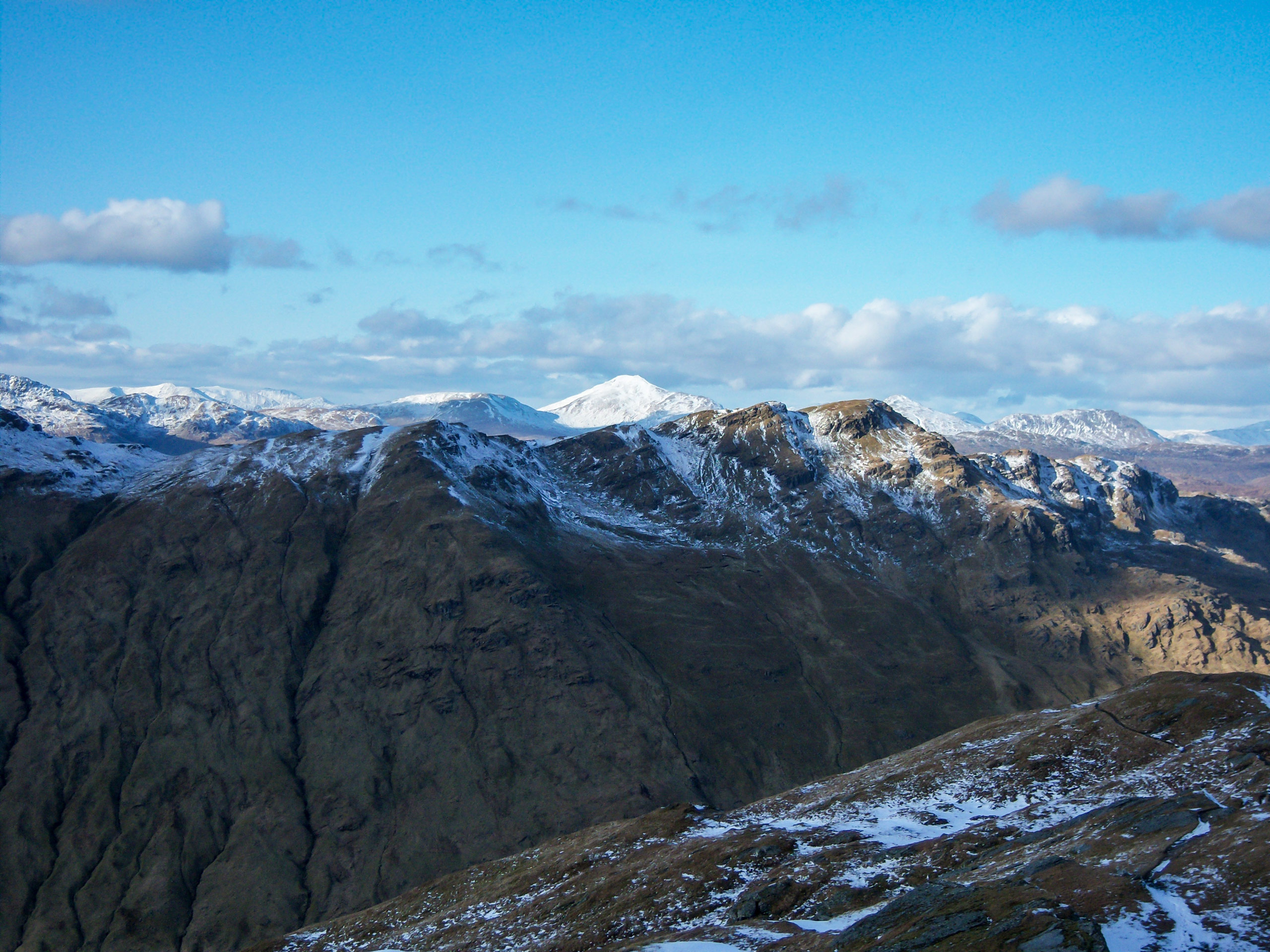
Beinn an Lochain Walk
Difficulty Rating:
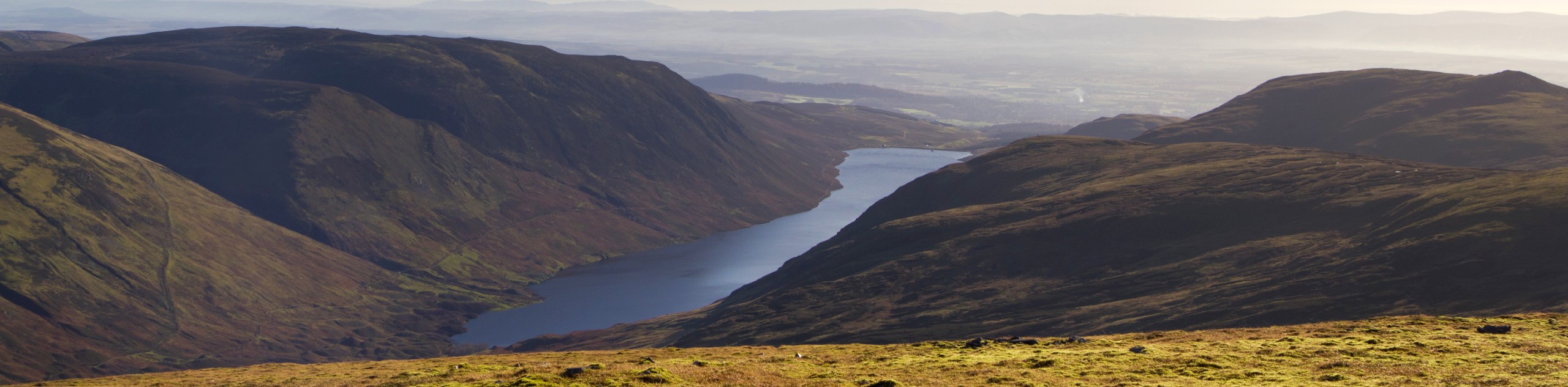
This is a fantastic walk for those looking to reach a summit in under 5 hours while enjoying the spectacular scenery of Scotland’s Arrochar Alps. A fairly brief, steep ascent with some minor scrambles rewards hillwalkers with marvellous views over Butterbridge and Beinn Ìme. The trail is extremely boggy in sections, and this, paired with a steep incline, makes proper footwear a must for this walk.
Getting there
To get to the Beinn an Lochain Walk from the center of Arrochar, take the A83 north towards the A814, continuing 8.3mi until you reach a layby on the west side of the A83, just over a mile north of Rest and Be Thankful. The walk begins from the layby.

About
| When to do | Year-Round Access |
| Backcountry Campsites | Wild camping (permit required) |
| Pets allowed | Yes |
| Family friendly | No |
| Route Signage | Average |
| Crowd Levels | Moderate |
| Route Type | Lollipop |
Beinn an Lochain Walk
Elevation Graph
Weather
Beinn an Lochain Walk Description
To begin this walk, you may find that the large car park by Butter Bridge is a convenient starting point, but the path that leads from the car park is essentially an impassable swamp, so it’s best to begin the Beinn an Lochain Walk from the layby off the A83. This trail is relatively short, but what it lacks in distance, it makes up for in steepness! A fine rocky ridge paves most of the way for the ascent, requiring some middle scrambles. Boggy sections are prevalent throughout the route, so come prepared with waterproof walking boots.
The western end of the Loch Lomond and Trossachs National park is home to some of the park’s finest peaks and spellbinding scenery. Although many of the hillwalks in the area require 6 or 7 hours, the Beinn an Lochain is an excellent option for those looking to spend under 5 hours hiking while still reaching a spectacular summit.
From the layby off the A83, follow the undefined path towards a stream that flows just above Easan Dubh Falls. Continue the trail a short distance, heading slightly northwest, and you’ll soon reach the foot of the northeast ridge of Beinn an Lochain, visible above the trees.
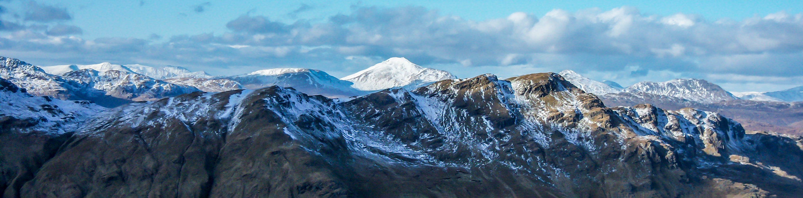
Join the ridge path, marking the beginning of your ascent to the summit of Beinn an Lochain. The track is easy to follow, but be mindful of steep rocky sections interspersed with boggy ground. At 2090ft, you’ll reach a flat top from where the summit comes into view for the first time. Fix your eyes on the scenery that unfolds back down the ridge, looking out over Butterbridge and across to mighty Beinn Ìme (the highest peak in the Arrochar Alps).
The route to the summit continues first on a brief descent, setting you up for a steep rocky section of the ridge, heading further uphill. Views all the way to Inveraray and down to Loch Fyne are yours to seize at this point, making this a particularly enjoyable section. Continue higher still until the path leads left to regain the ridge’s crest.
A pleasant flat section paves the way now as you begin the final push to the summit. Take the route to the left side, where you’ll find the summit cairn soon appearing. For the best views, look southwest, out over Loch Fyne and the surrounding undulating hills. To reach the second summit, continue along the ridge a short distance, but note a cairn does not mark this summit.
After drinking your fill of the majestic views, retrace your steps to complete the route back, returning to the layby off the A83 where the walk began.
Similar hikes to the Beinn an Lochain Walk hike
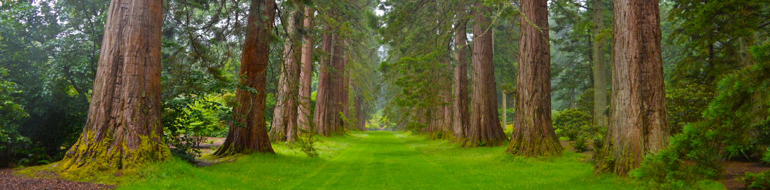
Big Tree Walk
The Big Tree Walk is a lovely 1.6mi, waymarked forest trail beside the Benmore Botanic Gardens. The route…
Arrochar Caves Walk
The Arrochar Caves Walk, found in Arrochar, UK, is a 2.8mi trail that leads through a scenic forest,…
Ben Chonzie Walk
The Ben Chonzie walk invites hillwalkers to venture up the highest summit in the immediate area to reach an exciting…
Comments