
White Rock Trail
View Photos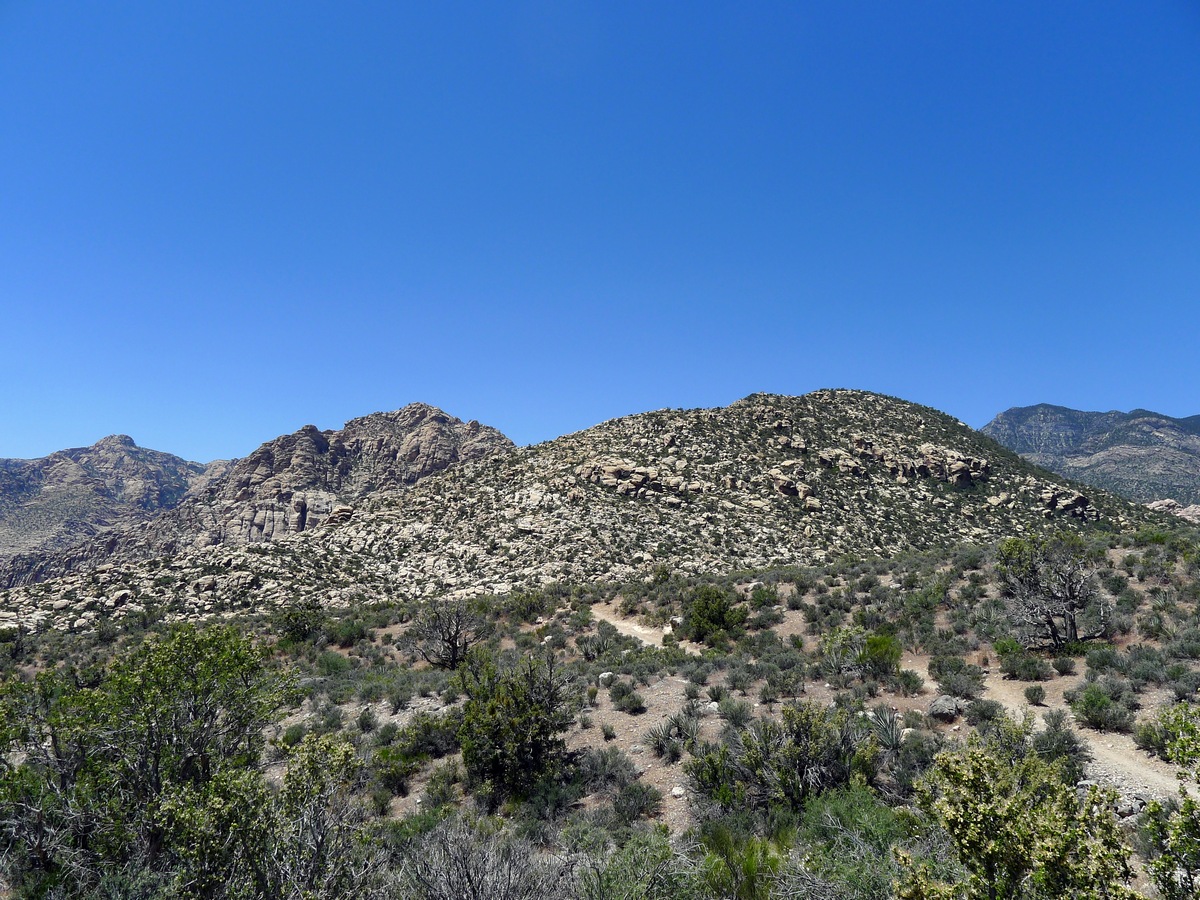

White Rock Trail
Difficulty Rating:
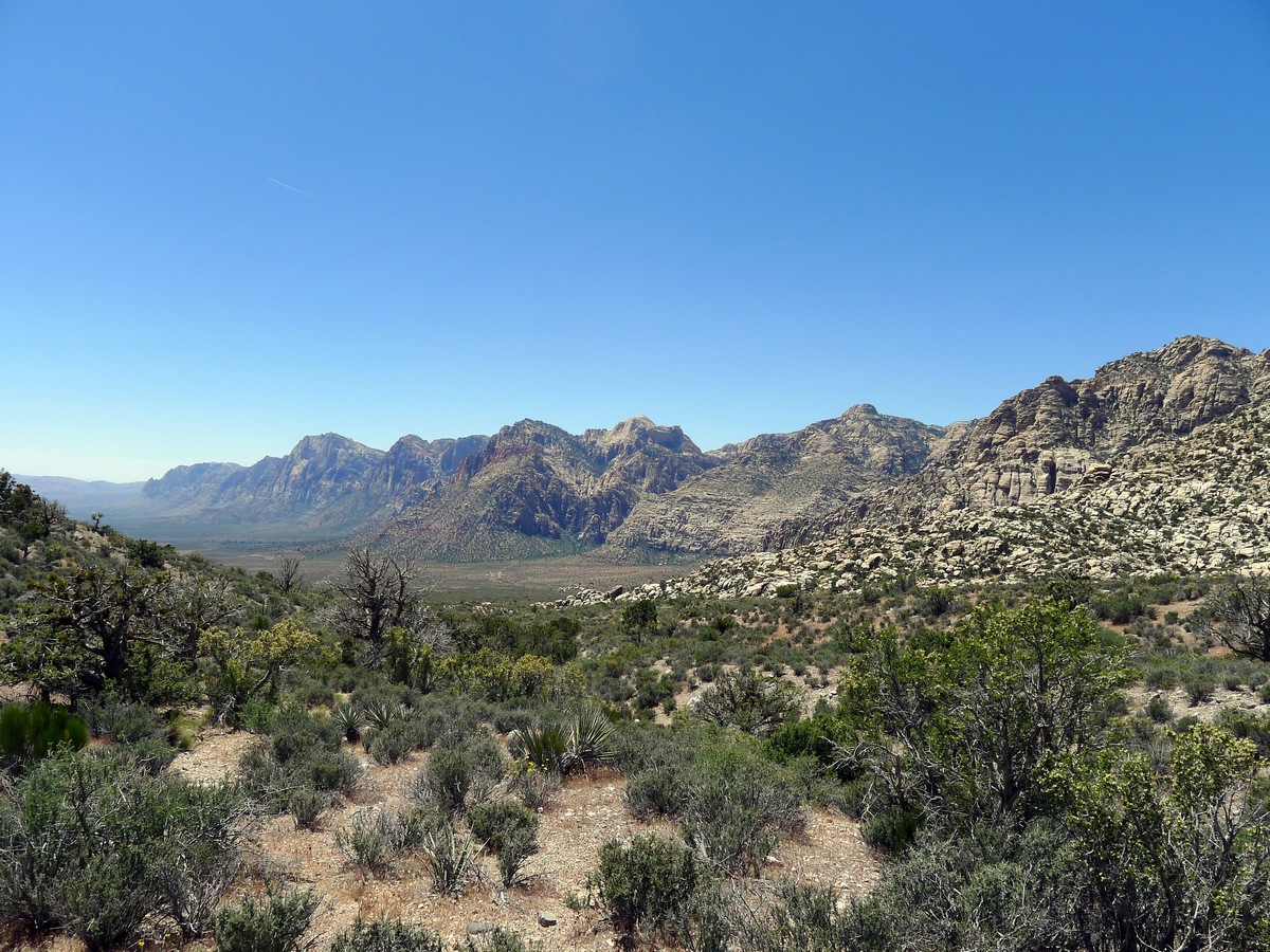
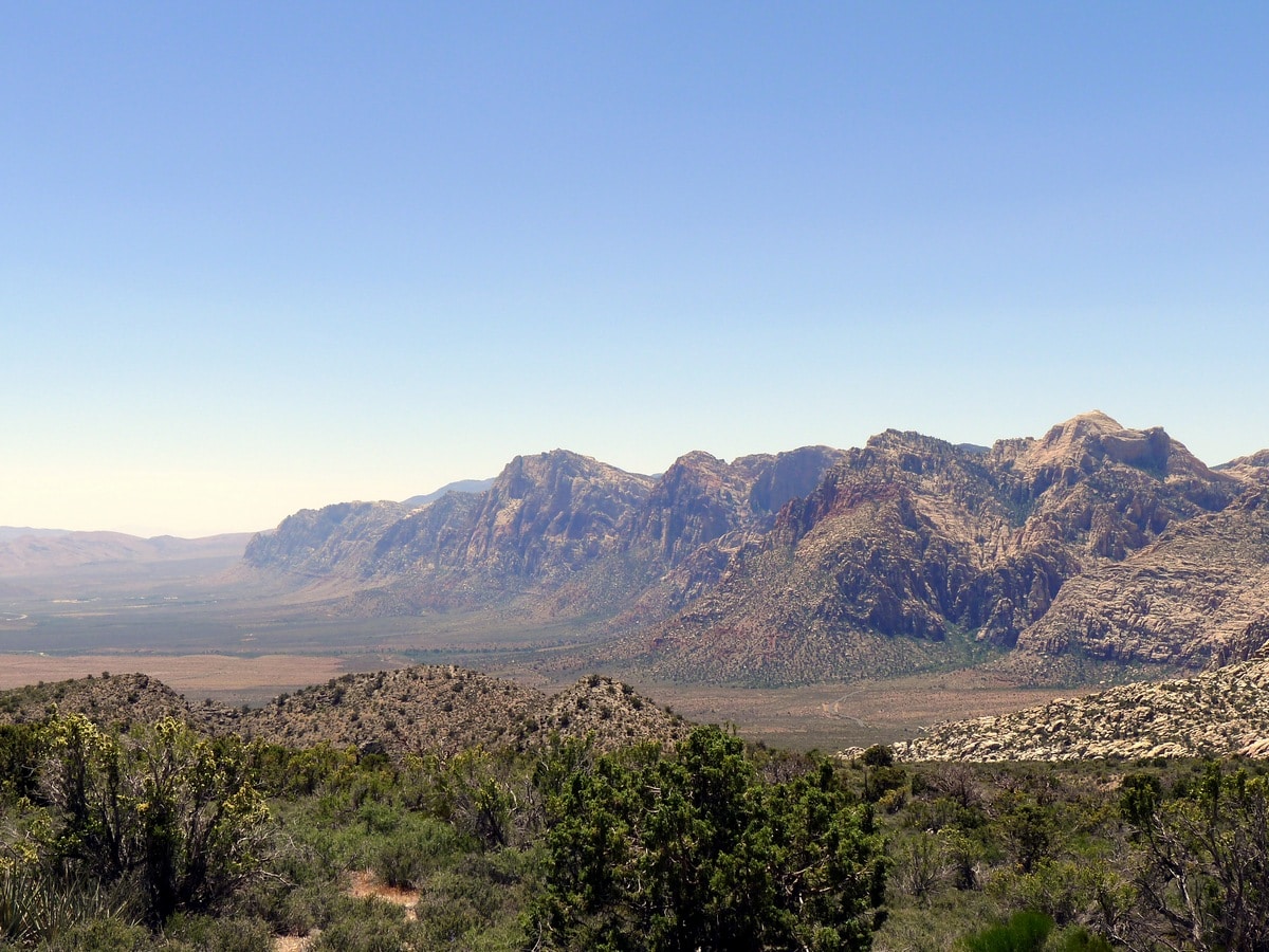
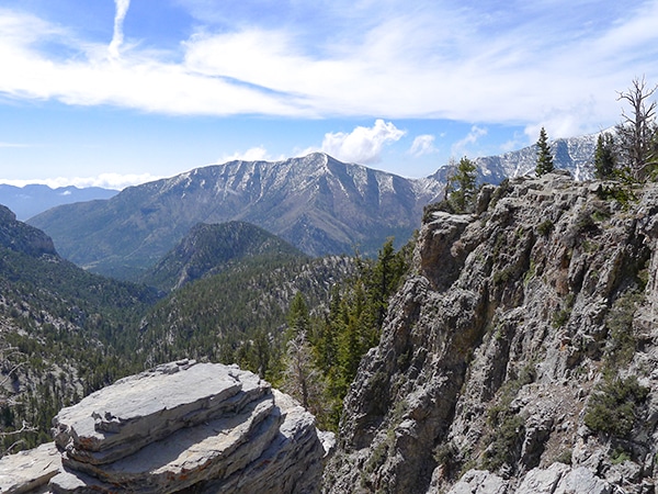
Stunning panoramic views of the La Madre Mountains are the reward for this seldomly-travelled trail. As you ascend along a very level path above the plane of Red Rock Canyon to the base of the mountains, the whole park will fall open before your eyes.
Getting there
From Las Vegas follow Route 157 West as it exits the city. After less than 10 minutes of driving past the city limits you will reach the turn off for Scenic Drive, and signs towards the Red Rock Canyon National Conservation Area Visitor Centre. Make this turn and pay your dues at the park entrance. Drive roughly halfway down the Scenic Drive, watching out for the White Rock Trailhead. Turn right and follow the dirt road to the upper parking lot. This road is definitely passable by adventurous sedans, and any vehicle with clearance will have absolutely no problem.

About
| When to do | Spring and Fall, avoid summer heat |
| Backcountry Campsites | Dispersed Camping |
| Toilets | At Trailhead |
| Family friendly | No |
| Route Signage | Poor |
| Crowd Levels | Low |
| Route Type | Out and back |
White Rock Trail
Elevation Graph
Weather
Route Description for White Rock Trail
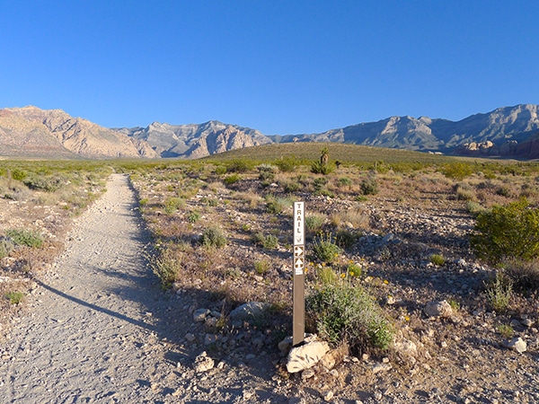
After hopefully making it to the upper parking area, the trail begins past the rightmost of the two parking lots — not the one with the outhouse. You will begin along a double track trail that starts to slowly gain elevation. Soon you will arrive at a junction, with the left pointing towards White Rock Hills. Turn right here and continue to gain elevation.
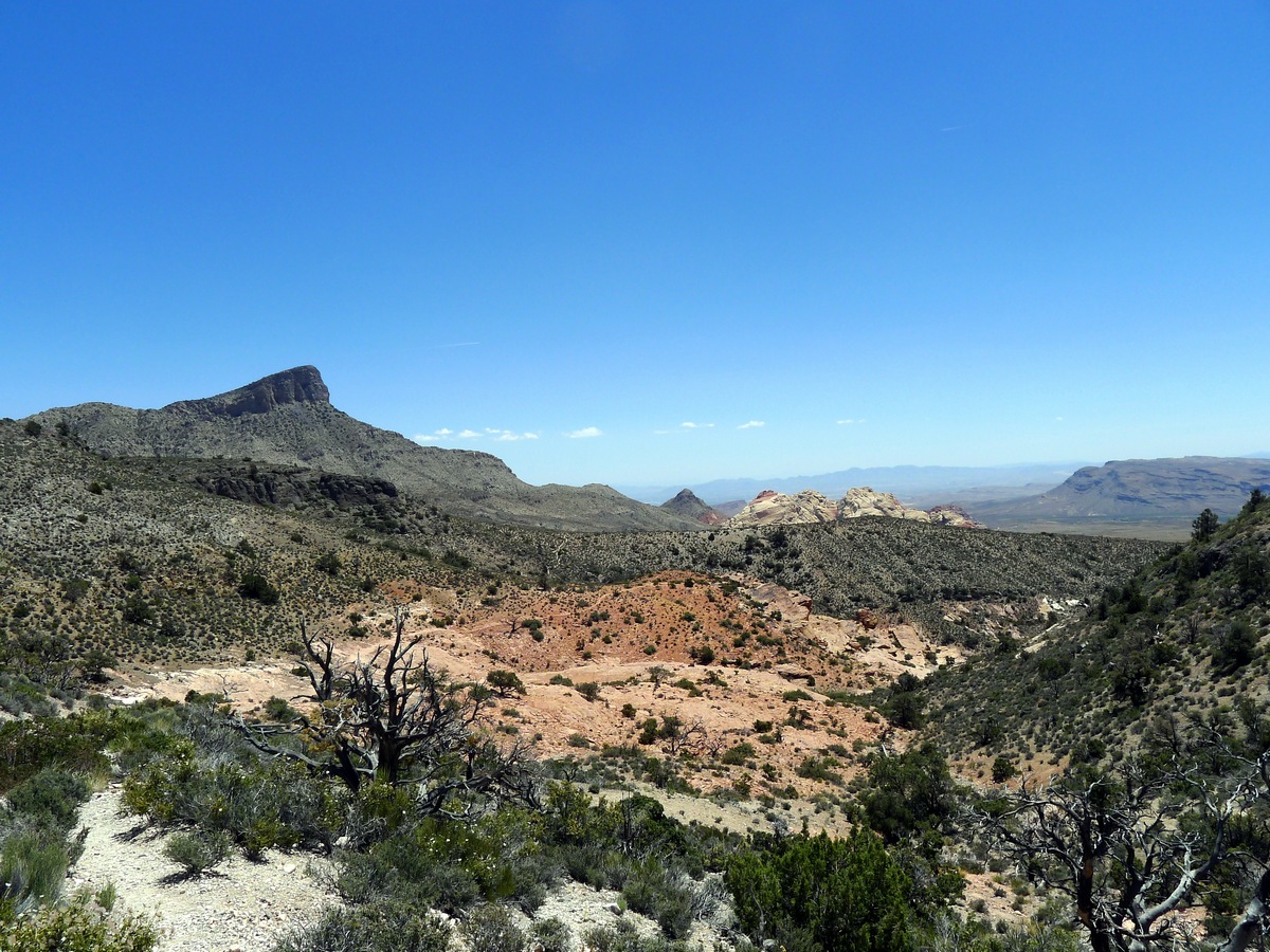
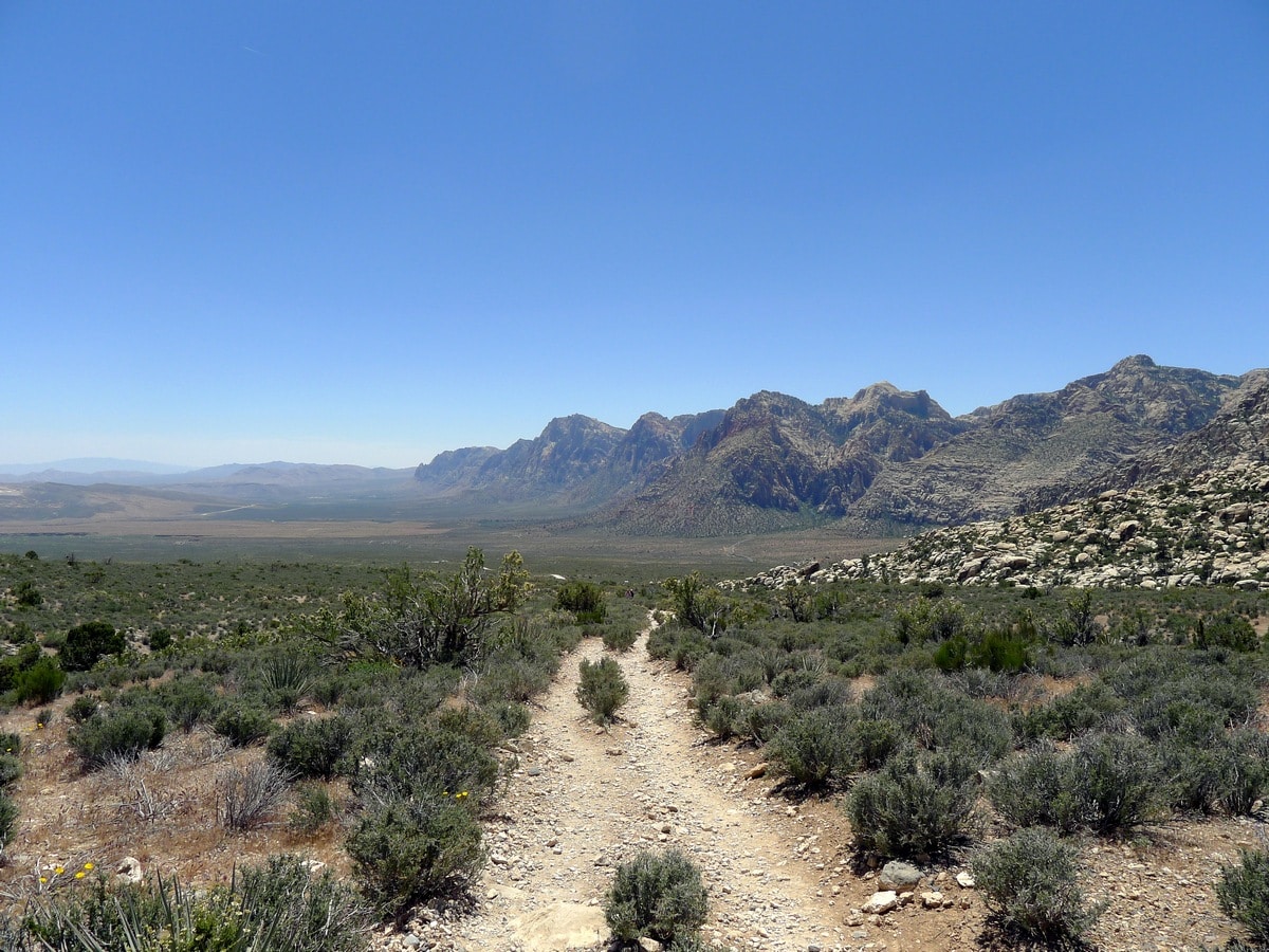
As you continue hiking the trail will slowly turn to single track, still gaining elevation as you climb through desert underbrush. There is very little shade along this entire hike, so take caution if you’re going in the heat of summer. Take breaks to look back and watch the views change. Along this trail you are given fantastic views of the cliff faces of the Red Rock Canyon jutting directly out of the desert valley; a humbling and exotic site.
As you near the end of this hike, the single-track trail will veer right, with a double-track trail continuing straight. You want to continue along this double-track trail as it continues to climb towards the base of magnificent peaks of the La Madre Mountains.
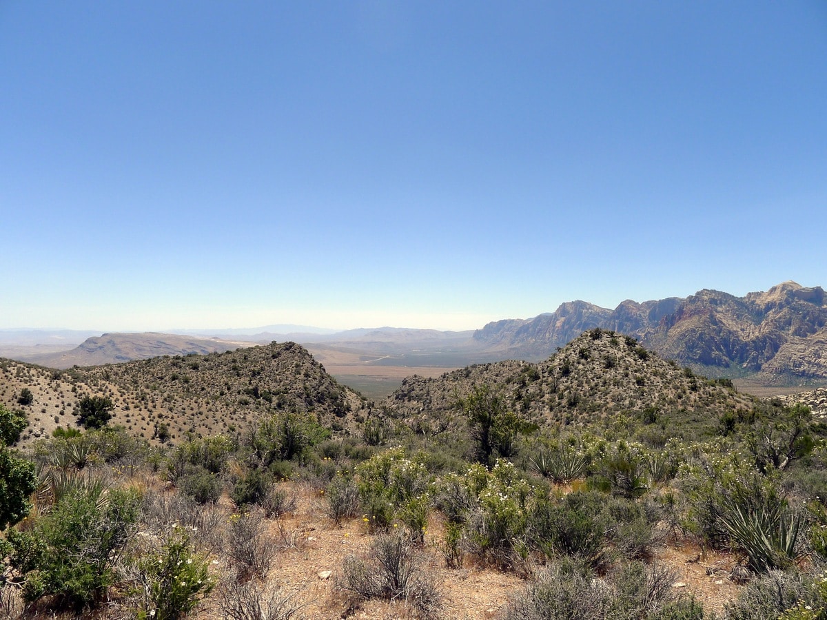
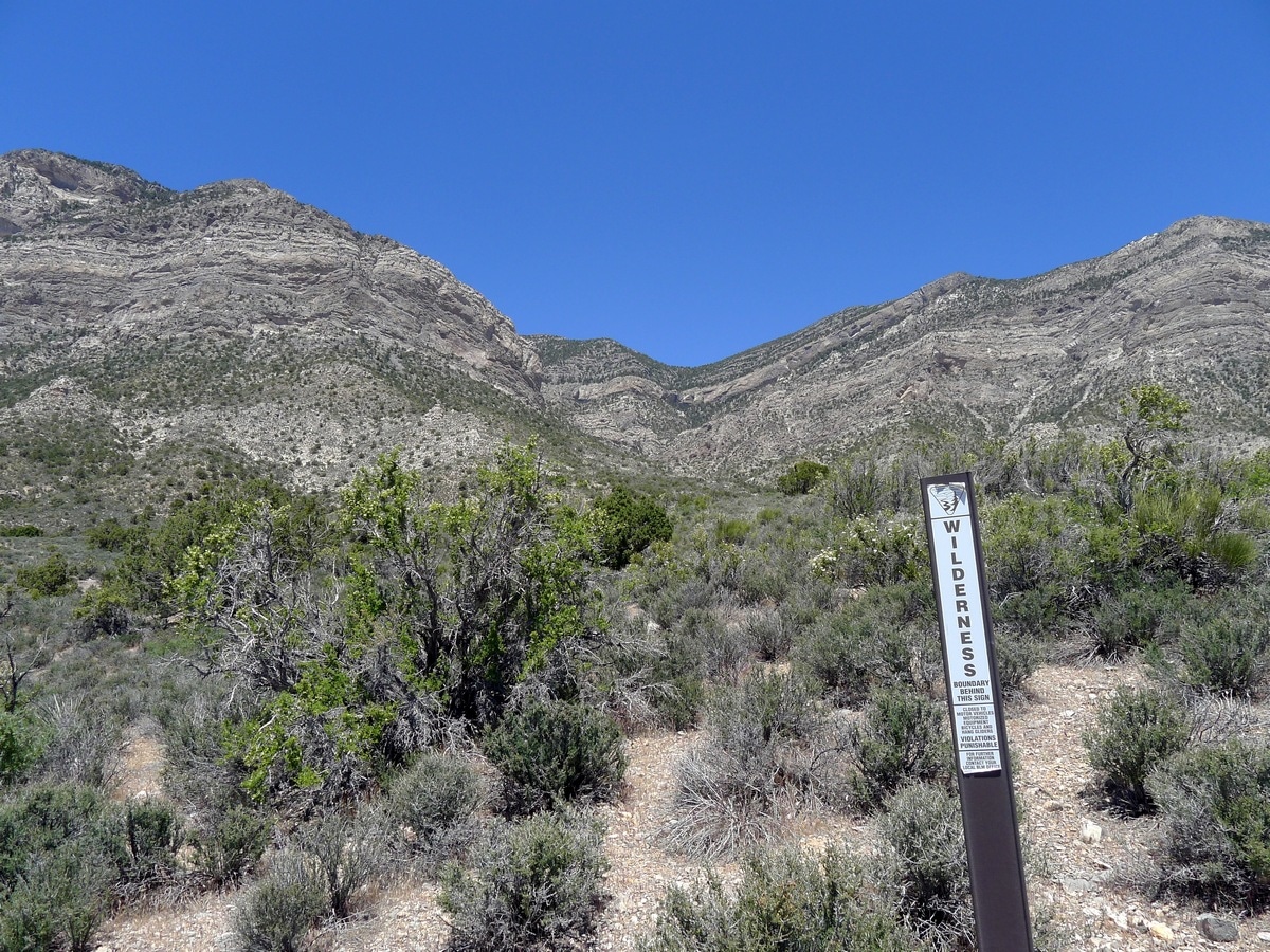
Hike until you reach a Bureau of Land Management “Wilderness” sign. From here you will get the best views down to the valley. If you look to your left you will be able to make out the red Calico Hills peaking their heads out. Additionally if you look right you can see a small saddle. Below this saddle is the La Madre Springs, a hike we have described on this page as well. After soaking in the views return the way you came.
Check out more amazing hikes around Las Vegas:
Insider Hints
We recommend wearing long pants since the thorny underbrush along the single-track portion of the hike loves to grab your calves!
You can park at the lower parking lot, but this adds just under 1.0mi each way of hiking.

Similar hikes to the White Rock Trail hike
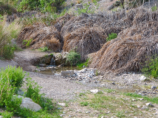
La Madre Springs
The La Madre Springs Hike is a moderately difficult adventure in Red Rock Canyon that leads up a very well-graded…
Moenkopi Trail
Best appreciated in the early morning, the Moenkopi Trail is a gorgeous loop that ventures out from the Red Rock…
Trail Canyon Trail
Climbing up to a ridge with fantastic views of the Spring Mountain and Mt. Charleston, this hike is a true…
Barbara Clarkson 4 years ago
Pretty nice trail overall. Nice walking trail for beginners.
Stevie Wander 4 years ago
Nice walk with a couple of stunning fountains.
MissGiggles 4 years ago
Great short trail with fabulous views. Perfect for sunrise and sunset on the right side of the mountain top.
Jan Meri 5 years ago
One great hike! It features beautiful cliff faces of the Red Rock Canyon. It was a short but thrilling hike!
malcolmk. 5 years ago
The mild elevation was perfect. It was short but worthwhile.
PetraPk 5 years ago
nice hike, no people, but in a way it was really special
SJ 5 years ago
White Rock Trail was a great hike!