
Trail Canyon Trail
View Photos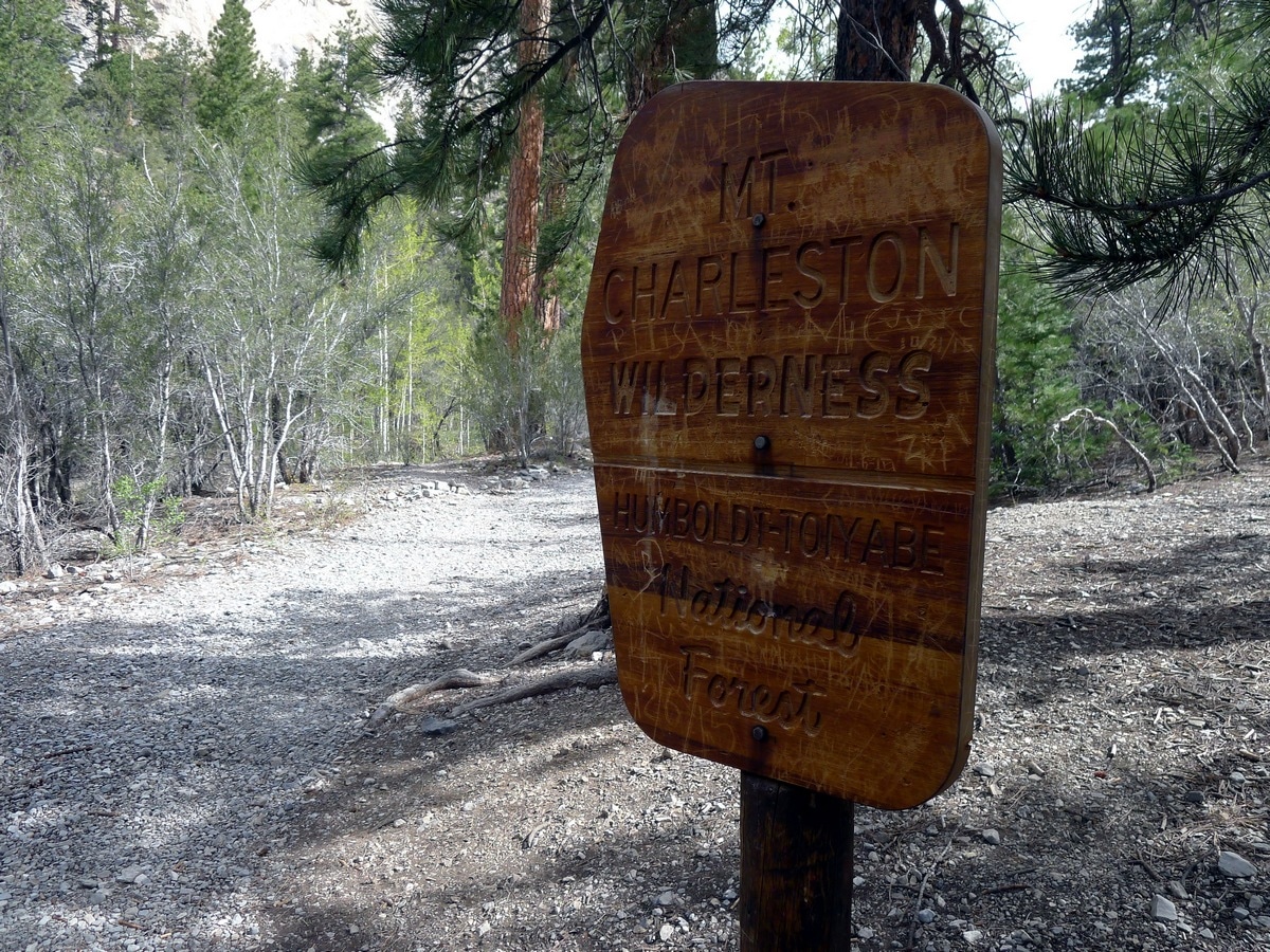
Trail Canyon Trail
Difficulty Rating:
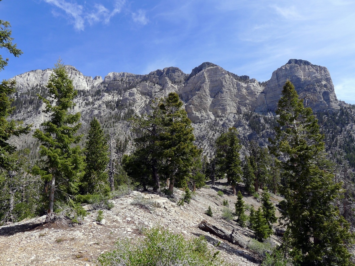
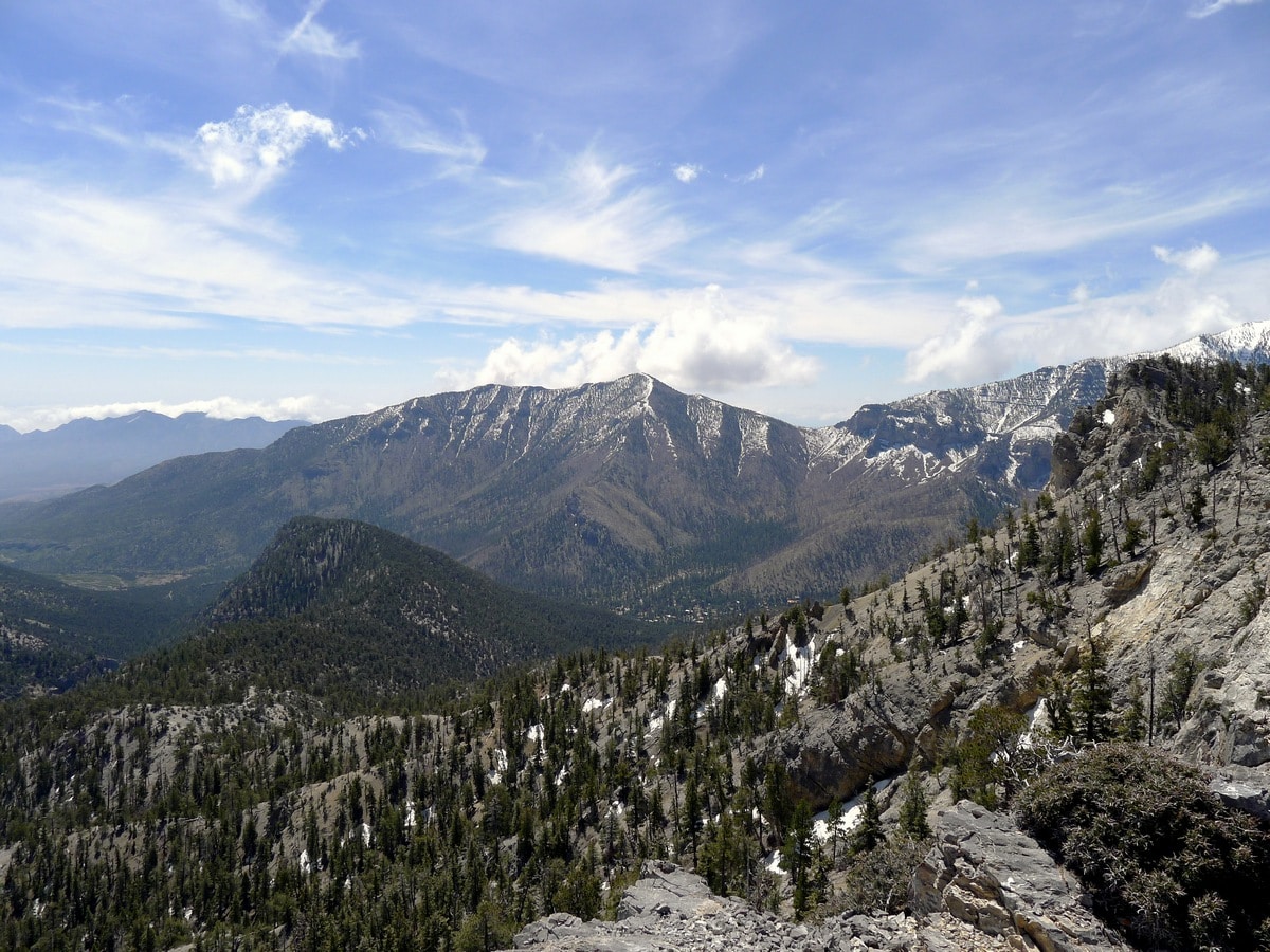
Climbing up to a ridge with fantastic views of the Spring Mountain and Mt. Charleston, this hike is a true gem that will allow you to take in the natural beauty of the surrounding landscape. The well-graded trail makes the elevation gain feel easier, and the absolutely stunning alpine views from the top are definitely worth the effort.
Getting there
To get to the Trail Canyon Trailhead from Las Vegas follow Route 95 North until just after you pass the city limits. From here, watch out for Nevada 157 with signs towards Mt. Charleston. Turn left here to continue along this gradually climbing road for just over 20.0mi. Nearing the end of Route 157, you will turn right onto Echo Rd., with signs pointing towards Trail Canyon. Park in the large lot after passing by several houses.

About
| When to do | May through September (depending on snow) |
| Backcountry Campsites | Yes; Dispersed Camping |
| Toilets | At trailhead |
| Family friendly | No |
| Route Signage | Average |
| Crowd Levels | Moderate |
| Route Type | Out and back |
Trail Canyon Trail
Elevation Graph
Weather
Trail Canyon Route Description
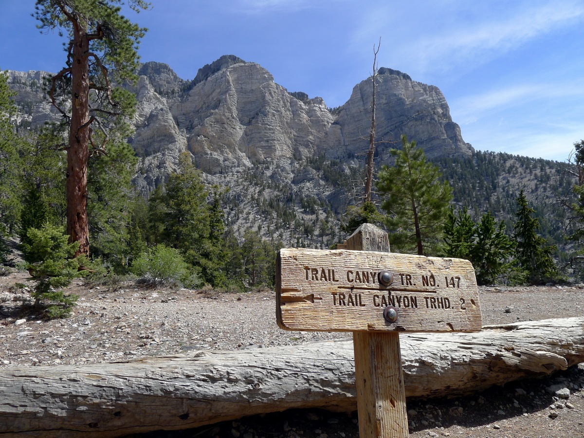
The Trail Canyon Hike begins from the uphill side of the parking lot. You will follow a single-track trail that quickly meets up with a double-track trail. Watch out here on your way back, as the junction is unmarked and you could easily lose your way! After this point the path starts to climb, as it slowly narrows to a wide single-track path.
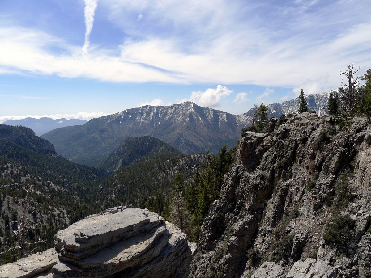
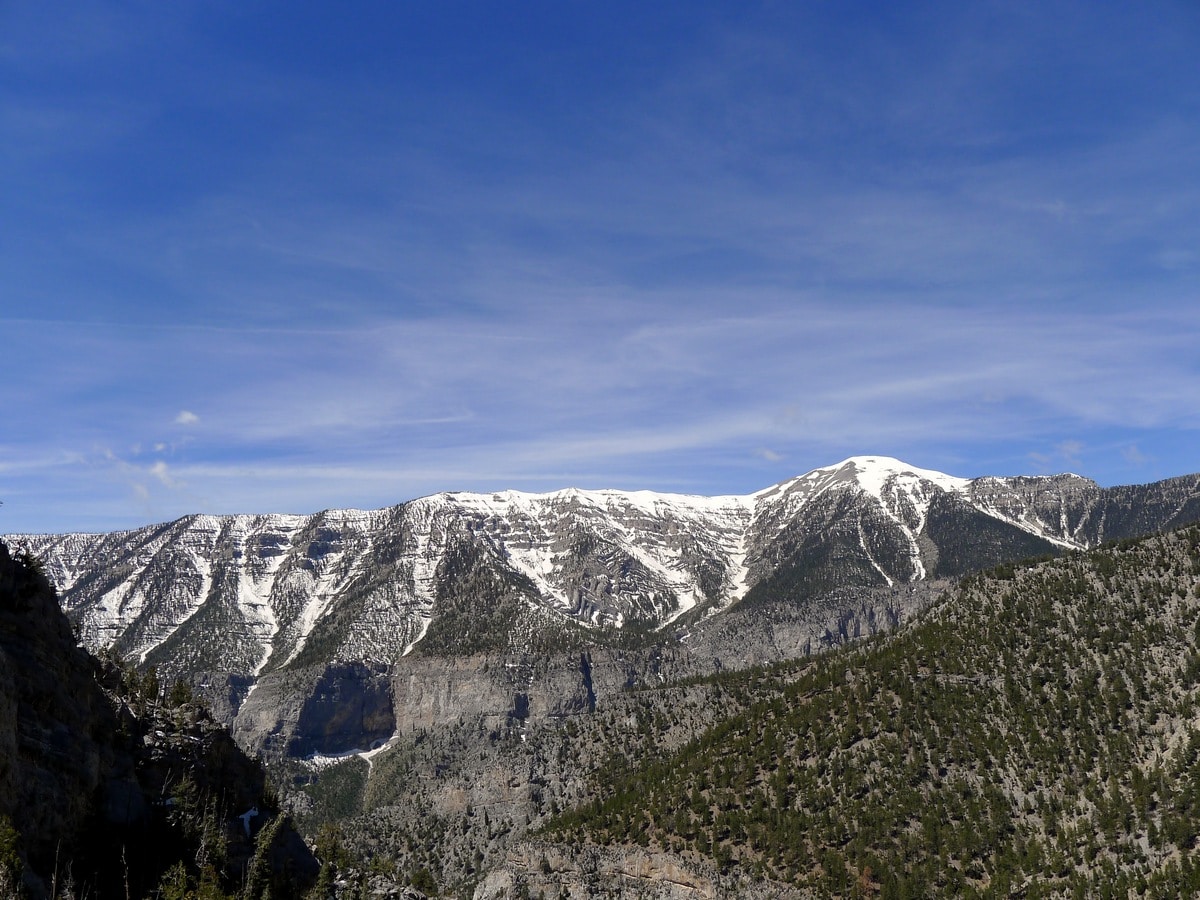
Here, you will climb through a unique landscape of sparse ponderosa pine forest that features little to no underbrush. When taking breaks as you climb, take the opportunity to look back and get even clearer views of the magnificent Mt. Charleston, rising just under 12001ft in the air as it hangs over the steep sided valley you drove in on.
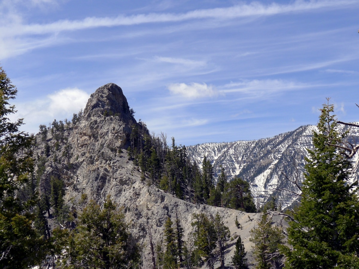
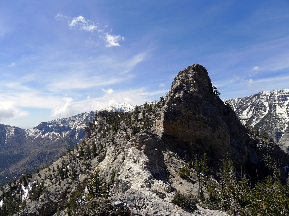
Towards the top of the climb, the path will traverse a series of switchbacks, letting you know that you are fast approaching your destination. Finally, you will reach a trail junction. We recommend turning right and following the unmarked path that leads onto the obvious ridgeline, called Cockscomb Ridge. Follow this for as far as you want along this ridge to find a comfortable spot with a spectacular view!
Check out more amazing hikes around Las Vegas:
Insider Hints
One should always consider the elevation of these mountains when packing. Even though it is typically hot and sunny in Vegas, harsh winds and rain are all too common up high in the Spring Mountains. Dress appropriately!

Similar hikes to the Trail Canyon Trail hike
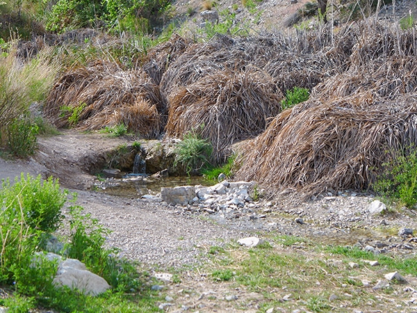
La Madre Springs
The La Madre Springs Hike is a moderately difficult adventure in Red Rock Canyon that leads up a very well-graded…
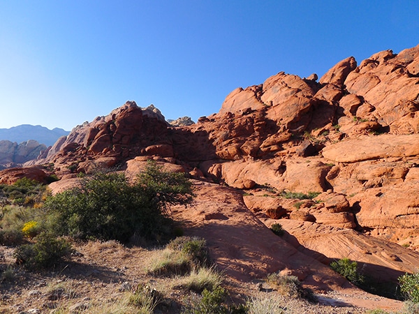
Calico Hills Trail
A visit to the red rock of Calico Hills is the centrepiece of most peoples’ trip to Red Rock Canyon.…
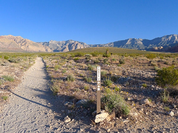
Moenkopi Trail
Best appreciated in the early morning, the Moenkopi Trail is a gorgeous loop that ventures out from the Red Rock…
Clara Fields 4 years ago
This trail is easily accessible, not too crowded. It is well worth it.
Miri K. 4 years ago
Glad It was particularly sunny when we did the hike and we were able to see the views clearly!
TailBlazer 4 years ago
Love this trail. One of my favorites, especially during cool days when the sun's not beating down on you. It has everything you are looking for in a hike.
lemontree 5 years ago
Cockscomb Ridge offers the best views! Take it all in.
Prime Diane 5 years ago
Splendid hike! We had a nice time doing this moderate hike. It was pretty cool!
Cisco K. 5 years ago
Awe-inspiring hike. Great weather made everything perfect.
Stewart M. 5 years ago
Great hike to explore the wilderness. Lots of stunning scenery with minimal effort.
Betty Jackman 5 years ago
Great hike. Glad the weather was perfect. We got to see the views clearly.
Lars Rindle 5 years ago
I recall the moment I did this hike, I had some trouble with the direction, and I almost got lost.
SJ 5 years ago
Trail Canyon was a fun, scenic hike!