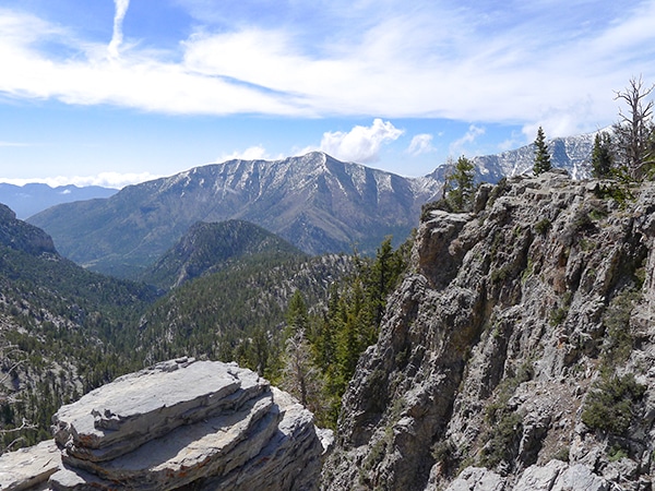
Calico Tanks Trail
View Photos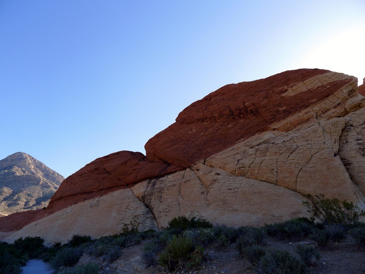
Calico Tanks Trail
Difficulty Rating:
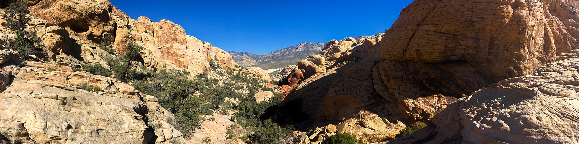
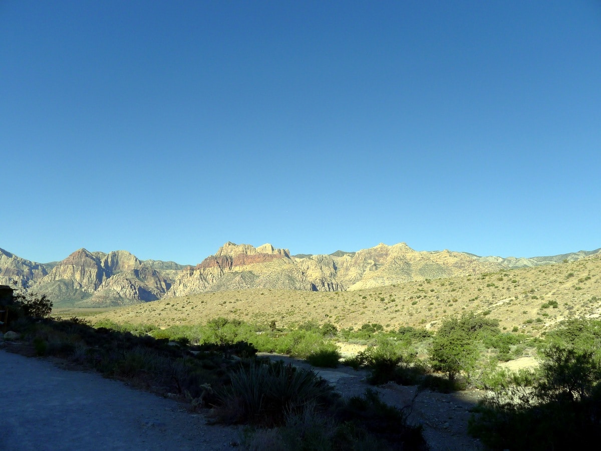
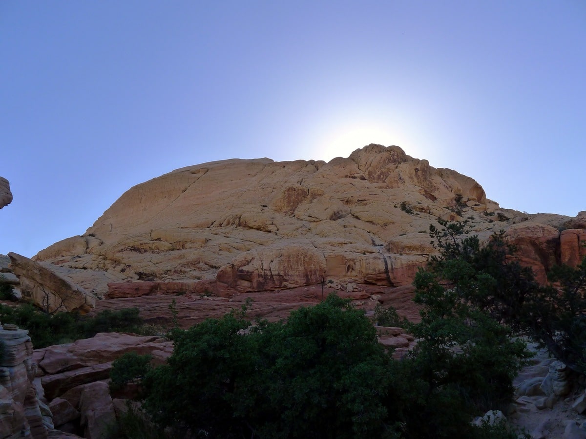
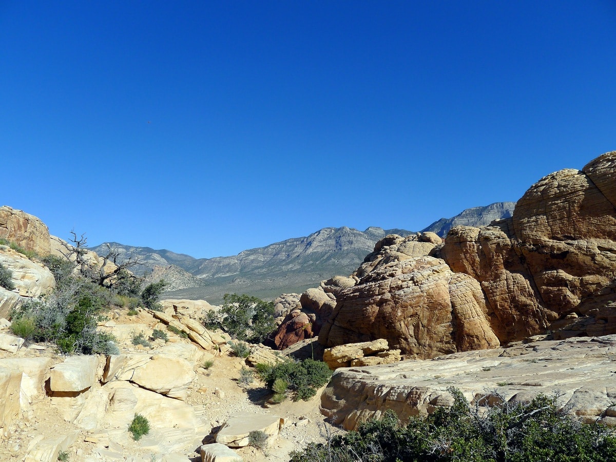
Calico Tanks is a classic hike leaving from the scenic Sandstone Quarry. Though hard to follow at times, this trail leads through a narrow canyon to a picturesque water tank. If you leave early you will have this stunning secluded spring all to yourself, allowing you to bask in its gorgeous natural presence in peace.
Getting there
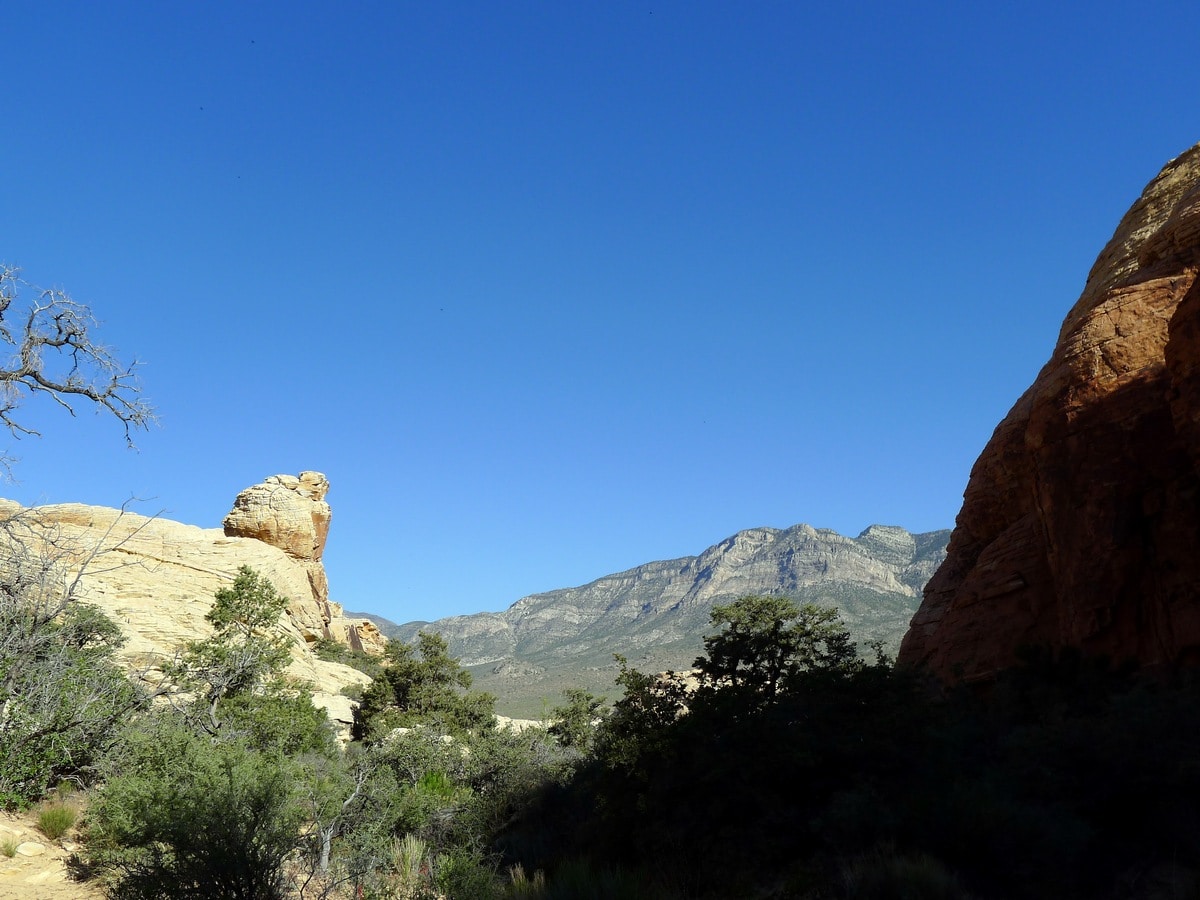
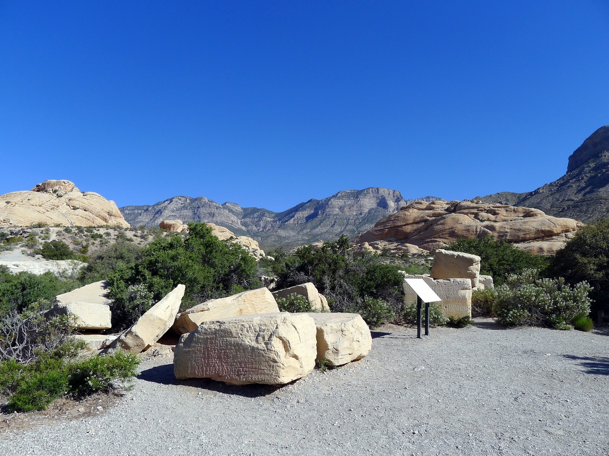
From Las Vegas follow Route 157 West as it exits the city. After less than 10 minutes of driving from the city limits you will reach the turn off for Scenic Drive, and signs towards the Red Rock Canyon National Conservation Area Visitor Centre. Make this turn and pay your dues at the park entrance. Follow the one-way Scenic Drive until the third turnoff, signposted as the direction of Sandstone Quarry. Park in the relatively large (but quickly filling) parking lot.

About
| When to do | Spring and Fall, avoid summer heat |
| Backcountry Campsites | None |
| Toilets | At Trailhead |
| Family friendly | No |
| Route Signage | Poor |
| Crowd Levels | High |
| Route Type | Out and back |
Calico Tanks Trail
Elevation Graph
Weather
Route Description for Calico Tanks Trail
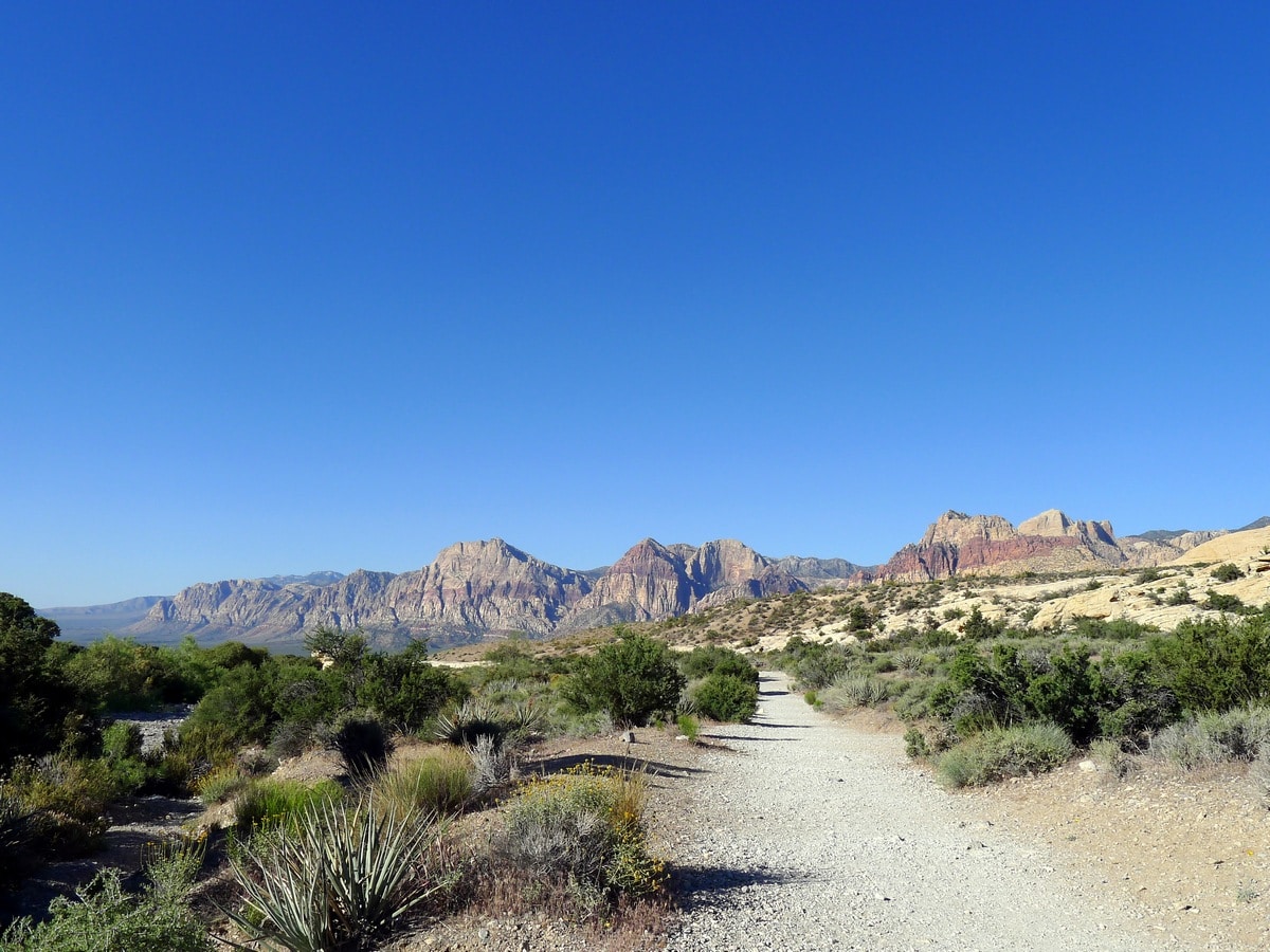
From the parking area of Sandstone Quarry start along the obvious trail beside the signs and outhouses. The path will soon pass a junction; continue straight. It will shortly also pass by a large boulder, where you will most likely see climbers.
After a little way along this relatively wide and loose gravel path, you will reach another junction. Turn right here towards the Calico Tanks. Soon after the junction, the path will turn into loose sand, which is extremely frustrating to walk along. After hiking along the sand for a short way, the difficulties of the trail will start to make themselves apparent. You will find several unmarked forks in the trail where both of the options look good. Typically in these scenarios each option does, in fact, lead to the tanks, so no worries.
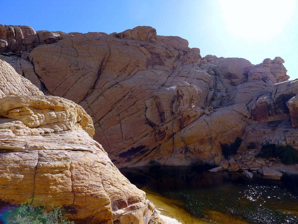
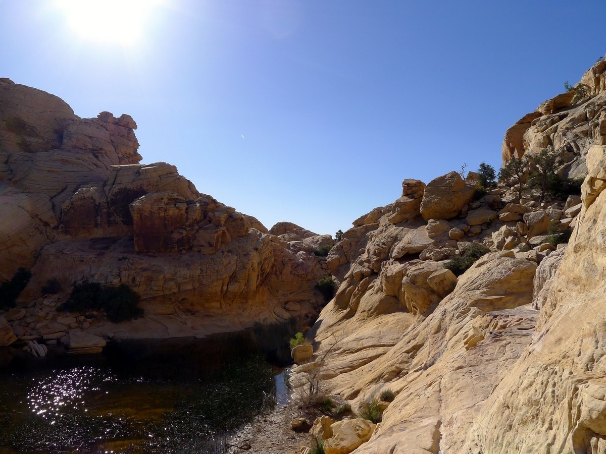
Towards the end of the path, the trail will run you up onto the sides of the canyon, where it will turn to sandstone. Here is where the trail is particularly hard to find, as there are very rarely any cairns or other trail-markers to follow. However – don’t worry – there are no turnoffs for other canyons along the way, so any route you may take through this small canyon is guaranteed to end at the tanks.
Remember when making these route-finding decisions to judge your scrambling ability. There is certainly a way to get around all the obstacles in front of you without climbing, it just sometimes takes a bit of problem-solving. Though this hike is not especially physically demanding, the route finding skills required in this section are challenging, as reflected in the hike’s grade. Once at the tanks return the way you came.
Check out more amazing hikes around Las Vegas:
Insider Hints
When walking in the loose sand, stay to either side of the trail where it has been trodden on less, as it is typically firmer. Additionally, try to step on grass or boulders as they are always the more sturdy option.
If you’re a climber (or an aspiring one) consider renting a bouldering mat in Las Vegas to climb the boulder near the parking lot.

Similar hikes to the Calico Tanks Trail hike
White Rock Trail
Stunning panoramic views of the La Madre Mountains are the reward for this seldomly-travelled trail. As you ascend along a…
Cathedral Rock Trail
This stunning, popular hike in the Spring Mountains leads up a handful of switchbacks to a rocky promontory, granting sunning…
Trail Canyon Trail
Climbing up to a ridge with fantastic views of the Spring Mountain and Mt. Charleston, this hike is a true…
Barbara Clarkson 4 years ago
Lots of fun, great view of the city at the top. beautiful view of the Vegas landscape
Stevie Wander 4 years ago
Really gorgeous trail with amazing rock formations on both sides.
Miri K. 4 years ago
This hike is pretty famous to young people. I made new friends while hiking here.
lemontree 4 years ago
It was a short, silent hike. This hike is pretty demanding in my opinion.
AltaVito 4 years ago
The red cliffs are outstanding! Glad to finally see them in person.
Prime Diane 5 years ago
The loose gravel path was a bit annoying, better wear good closed hiking shoes!
Elsa K. 5 years ago
Started at 8am and there was hardly anyone on the trail. I'm so lucky to have the spring to myself for a couple of minutes.
malcolmk. 5 years ago
Fairly easy trail. Beautiful views of the Sandstone Quarry.
mountaincat 5 years ago
Fun walk, I would love to do it again if back in Vegas
Mo 5 years ago
the Calico tanks hike was harder. good weather and nice people i met.