Staveley to Ings Walk
View Photos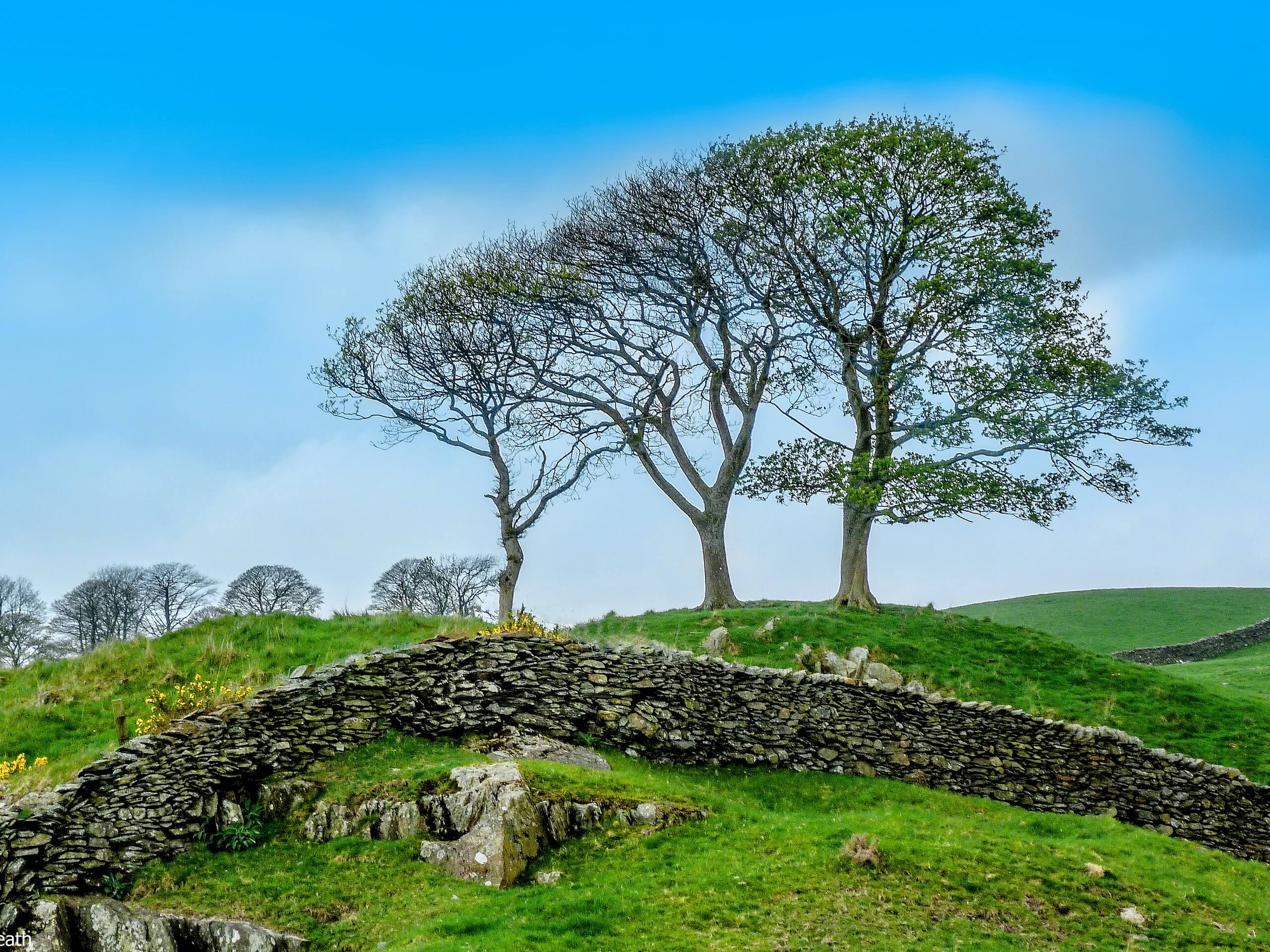
Staveley to Ings Walk
Difficulty Rating:
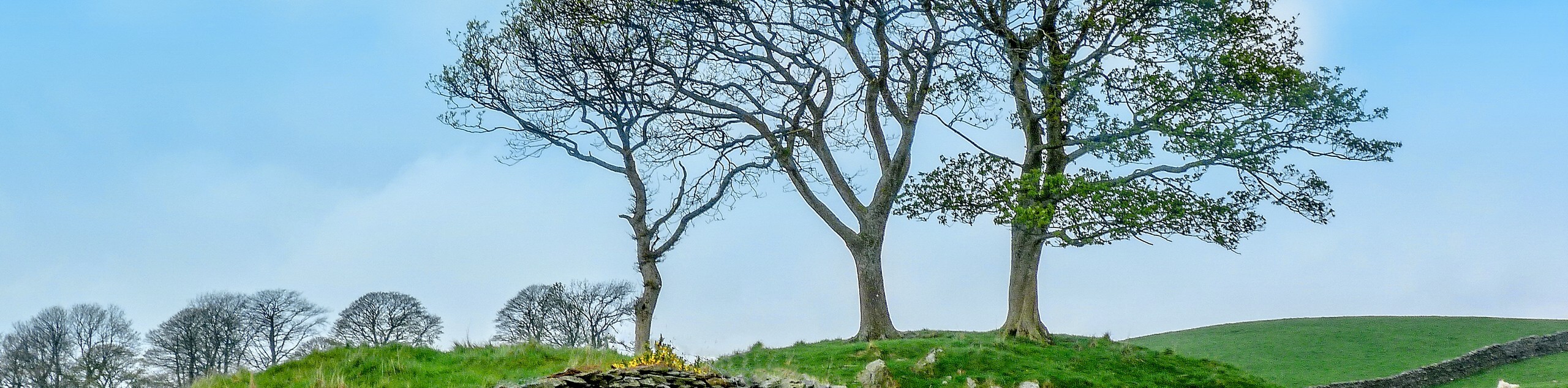
The Staveley to Ings Walk is a lovely excursion in the southeast corner of the Lake District that is set in a beautiful countryside setting. While out on the trail, you will make your way through charming villages and walk along the banks of the River Kent, all while taking in some amazing views of nearby fells. This is a fantastic walk for a weekend on the trails with the family.
Getting there
To reach the trailhead for the Staveley to Ings Walk from Windermere, head east on Church Street/A591 for 3.2mi and turn left onto Danes Road, following it for 0.2mi. Continue onto Windermere Road for 0.3mi before turning right onto Station Road. After 0.2mi, continue onto Crook Road, following it for 0.2mi to arrive at the starting point of the walk.

About
| When to do | Year-Round |
| Backcountry Campsites | Ings Caravan Park, Ings Kippers |
| Pets allowed | Yes - On Leash |
| Family friendly | Older Children only |
| Route Signage | Average |
| Crowd Levels | Moderate |
| Route Type | Lollipop |
Staveley to Ings Walk
Elevation Graph
Weather
Staveley to Ings Walk Description
The Staveley to Ings Walk is a lovely Lake District adventure that is popular with beginner walkers and families due to moderate overall length, beautiful scenery, and paved roadways. Setting out from the trailhead, you will make your way north through the charming village of Staveley before walking along the banks of the River Kent. This part of the walk is very scenic, with views of nearby fells in every direction. Eventually, you will break away from the river to the west and loop around the hillside to traverse the open countryside to the south. After passing through the village of Ings, you will follow the winding banks of the River Gowan until you arrive back at the trailhead where you began your adventure.
Similar hikes to the Staveley to Ings Walk hike

Osprey Viewpoint & Bassenthwaite Lake Walk
The Osprey Viewpoint & Bassenthwaite Lake Walk is a scenic Lake District adventure that will expose you to some beautiful…

Hawkshead, Wray Castle, and Windermere Walk
The Hawkshead, Wray Castle, and Windermere Walk is a fantastic journey that will lead you through some picturesque locations that…

Pike of Blisco and Crinkle Crags Walk
The Pike of Blisco and Crinkle Crags Trail is a challenging adventure that will see you climb several rugged peaks…
Comments