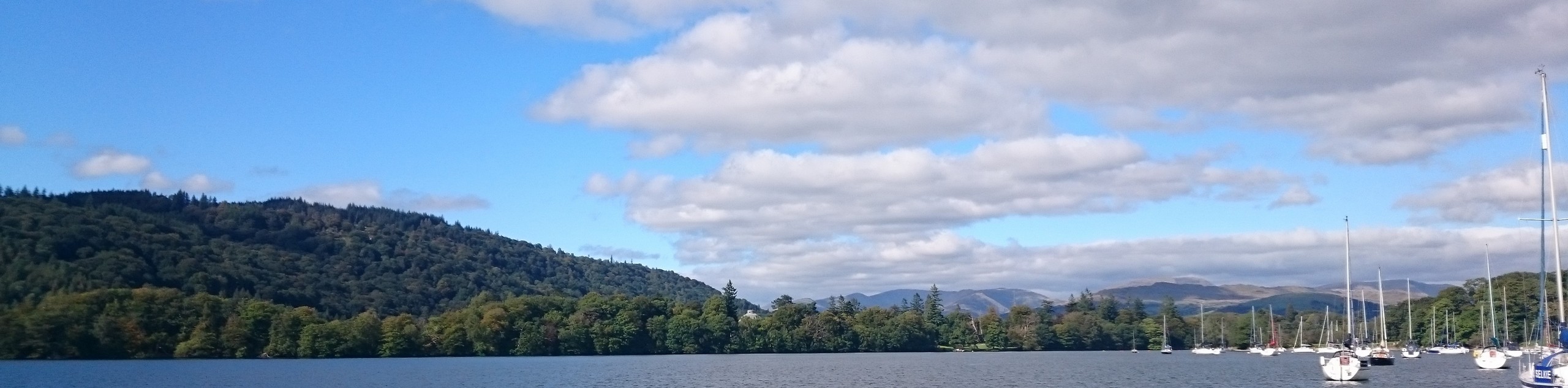
Staveley to Windermere Walk
View Photos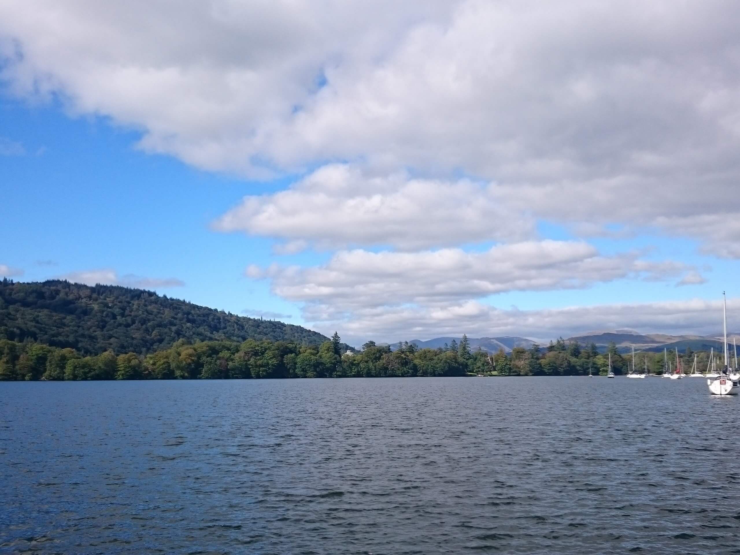
Staveley to Windermere Walk
Difficulty Rating:
The Staveley to Windermere Walk is a lovely journey through the English countryside that connects these two charming villages. While out on the trail, you will cut across the open farmland terrain and make your way over a few small fells before arriving in Windermere. This is a point-to-point walk, so be sure to arrange a pick up or plan to take the train back to Staveley.
Getting there
To reach the trailhead for the Staveley to Windermere Walk from Burneside, drive south on Hollins Lane for 0.7mi and turn right onto A591, following it for 3.0mi. Turn right onto Danes Road and keep straight for 0.5mi to arrive at the starting point of the walk.

About
| When to do | Year-Round |
| Backcountry Campsites | No |
| Pets allowed | Yes - On Leash |
| Family friendly | Older Children only |
| Route Signage | Average |
| Crowd Levels | Moderate |
| Route Type | One Way |
Staveley to Windermere Walk
Elevation Graph
Weather
Staveley to Windermere Walk Description
Walking the Staveley to Windermere Trail is a fantastic activity that is popular with casual walkers thanks to the relatively easy terrain and scenic landscape. This is a one-way walk, so you will need to either retrace your footsteps after arriving in Windermere or take the train back. Setting out from the trailhead in Staveley, make your way to the southwest to traverse the open farmland, climbing gently uphill to eventually arrive at the edge of several small fells known as Grandsire and School Knott. From here, you will pass by the quiet shores of School Knott Tarn and cross the summit of the fell with the same name, continuing on towards the northwest until you arrive in Windermere. At this point, you will need to either walk the length of the trail or take the train back to the trailhead in Staveley.
Similar hikes to the Staveley to Windermere Walk hike

Osprey Viewpoint & Bassenthwaite Lake Walk
The Osprey Viewpoint & Bassenthwaite Lake Walk is a scenic Lake District adventure that will expose you to some beautiful…

Hawkshead, Wray Castle, and Windermere Walk
The Hawkshead, Wray Castle, and Windermere Walk is a fantastic journey that will lead you through some picturesque locations that…
Nether Wasdale and Wastwater Walk
The Nether Wasdale and Wastwater Walk is a fairly relaxing stroll through a variety of Lake District terrain that will…
Comments