Coast to Coast Walk: Ennerdale Bridge to Rosthwaite
View Photos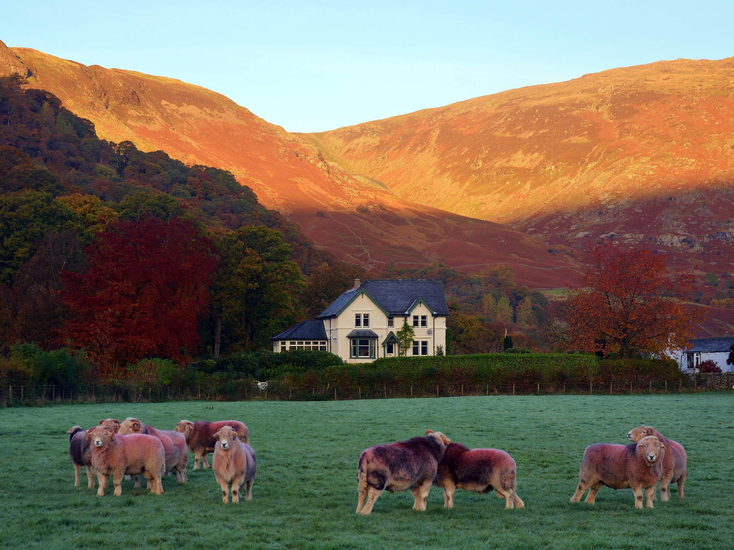
Coast to Coast Walk: Ennerdale Bridge to Rosthwaite
Difficulty Rating:
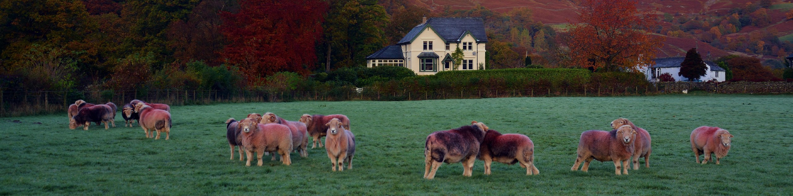
The Coast to Coast Walk: Ennerdale Bridge to Rosthwaite is a small segment of a much longer journey that will take you across northern England from the Irish Sea to the North Sea. While on this portion of the walk, you will pass through some of the Lake District’s most scenic terrain that includes the shores of Ennerdale Water and the rugged mountains near Honister Pass. This is a point-to-point trail, so if you are not intending to walk across the entire country, you best make arrangements for a pick up at the end of the trail.
Getting there
To reach the Coast to Coast Walk: Ennerdale Bridge to Rosthwaite trailhead from the village of Kirkland, head south on Kirkland Road for 0.6mi and keep straight at the junction, continuing on for another 0.8mi to arrive at the trailhead.

About
| When to do | March-October |
| Backcountry Campsites | Chapel House Farm Campsite |
| Pets allowed | Yes - On Leash |
| Family friendly | No |
| Route Signage | Average |
| Crowd Levels | Moderate |
| Route Type | One Way |
Coast to Coast Walk: Ennerdale Bridge to Rosthwaite
Elevation Graph
Weather
Ennerdale Bridge to Rosthwaite Trail Description
Although the Ennerdale Bridge to Rosthwaite segment of the Coast to Coast Walk is nowhere near the length of the full route, it is still a lengthy journey that you will need to plan ahead for. The trail traverses some rugged terrain that will provide some terrific views, but will also see you gain a considerable amount of elevation. Be sure to pack any necessary gear and supplies that you will need for the walk, including plenty of water, snacks, and sturdy boots capable of handling the undulating terrain of the Lake District. Additionally, walkers that aren’t out to complete the entire Coast to Coast Walk will need to arrange a pick up at the end of the trail in Rosthwaite.
Setting out from the trailhead in Ennerdale Bridge, follow the route to the southeast that will take you away from the village toward the edge of Ennerdale Water. Enjoy the scenic views across the lake, as you continue to the southeast and follow closely along the banks of the River Liza while walking under the shadow of a number of fells that include Great Borne, Starling Dodd, Red Pike, High Stile, and High Crag. From here, the trail will turn to the northeast and climb uphill to traverse the rugged landscape surrounding Honister Pass, with the iconic Fleetwith Pike looming overhead to the northwest. After passing by the Honister Slate Mine, you will continue to the east and pass through the villages of Seatoller and Longthwaite, traversing the valley floor on the way to the end of the trail in Rosthwaite. Here, you will find several establishments to buy some refreshments, before continuing along the Coast to Coast Walk or making your way home.
Similar hikes to the Coast to Coast Walk: Ennerdale Bridge to Rosthwaite hike

Osprey Viewpoint & Bassenthwaite Lake Walk
The Osprey Viewpoint & Bassenthwaite Lake Walk is a scenic Lake District adventure that will expose you to some beautiful…

Hawkshead, Wray Castle, and Windermere Walk
The Hawkshead, Wray Castle, and Windermere Walk is a fantastic journey that will lead you through some picturesque locations that…

Pike of Blisco and Crinkle Crags Walk
The Pike of Blisco and Crinkle Crags Trail is a challenging adventure that will see you climb several rugged peaks…
Comments