Kathmandu to Chisapani hike
View Photos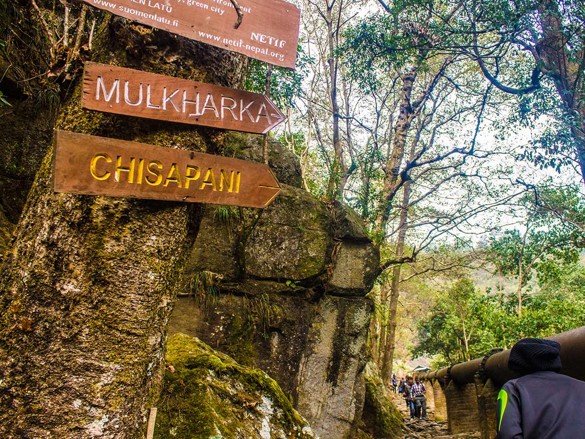
Kathmandu to Chisapani hike
Difficulty Rating:
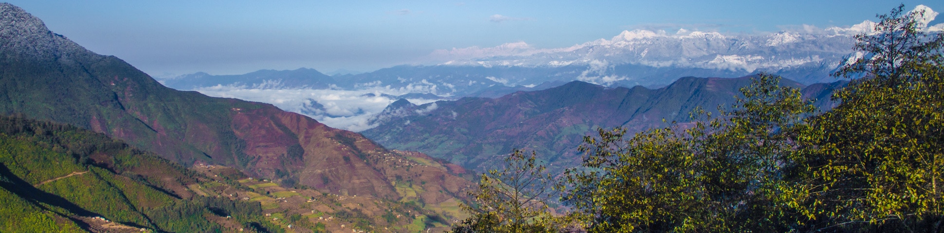
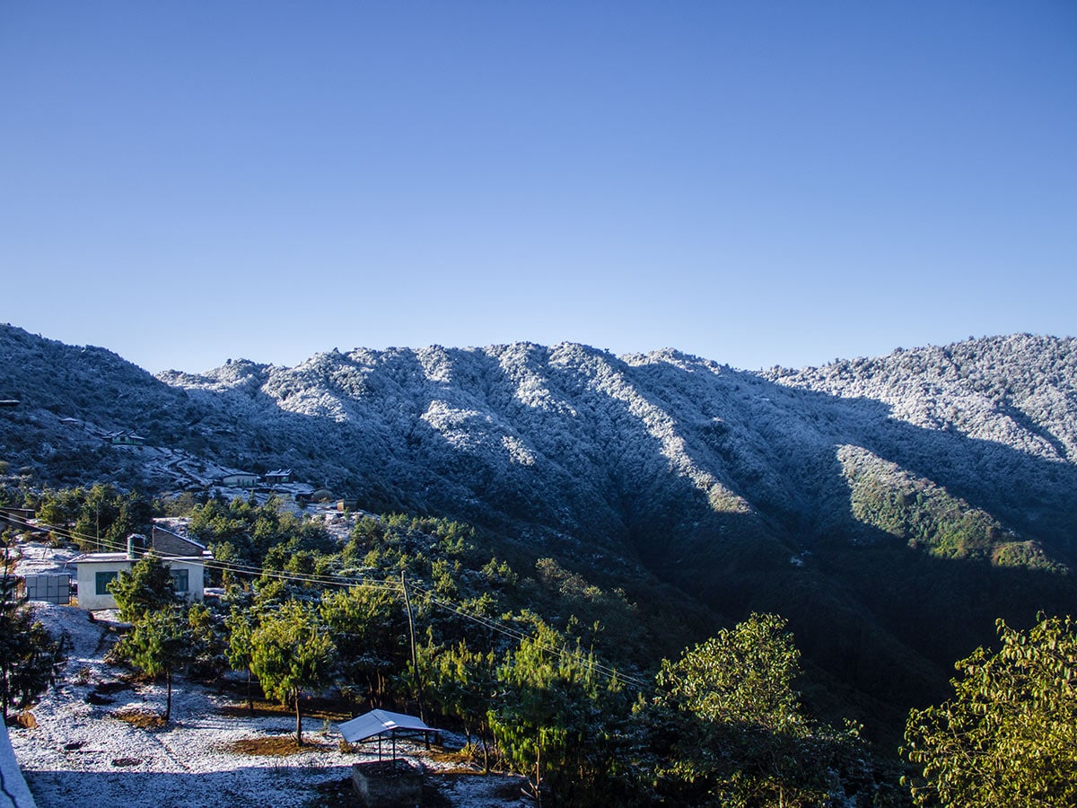
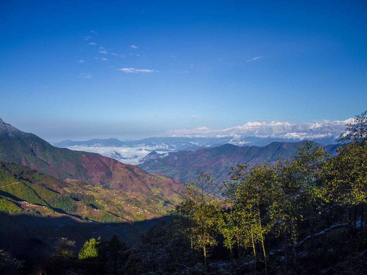
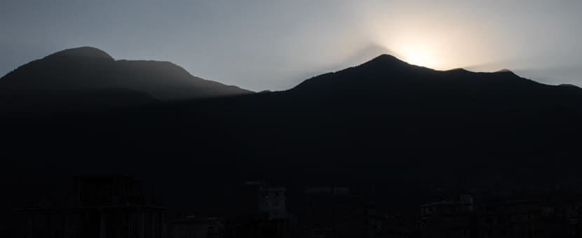
A small hill station in the northern outskirts of Kathmandu, Chisapani offers stunning views of lush green hills, deep valleys, and snow-capped mountain peaks. Chisapani literally translates to “cold water” in Nepali. It lies in the Shivapuri National Park and is also the gateway to the Langtang-Gosainkunda trekking region. The hike to Chisapani begins in Sundarijal, a small village southeast of Kathmandu, which is home to numerous waterfalls.
Getting there
Get a bus (or taxi) from Ratna Park Bus Stop in Kathmandu and go to Sundarijal.

About
| When to do | March to May and September to November |
| Backcountry Campsites | No |
| Family friendly | No |
| Route Signage | Good |
| Crowd Levels | High |
| Route Type | Out and back |
Kathmandu to Chisapani
Elevation Graph
Weather
Route Description for Kathmandu to Chisapani
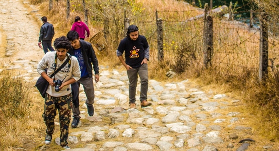
To get to Sundarijal, take a bus from Ratna Park Bus Stop and drive about 10.6mi. Start early to avoid traffic on the main road. The ride gets bumpier and dusty as you hit the unpaved roads following Boudha. After reaching Naya Pati Bus Stop, the road ends and the trail begins. If you need to stock up on any supplies, you can purchase last-minute items in the small market at the bus stop, though the quality varies.
While this route is shown as a return journey, some hikers do this over two days, spending a night in Chisapani. If you intend to merely go one way, we suggest getting a Jeep to Chisapani and walking back.
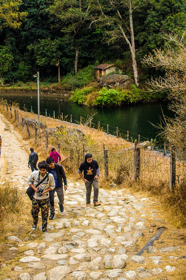
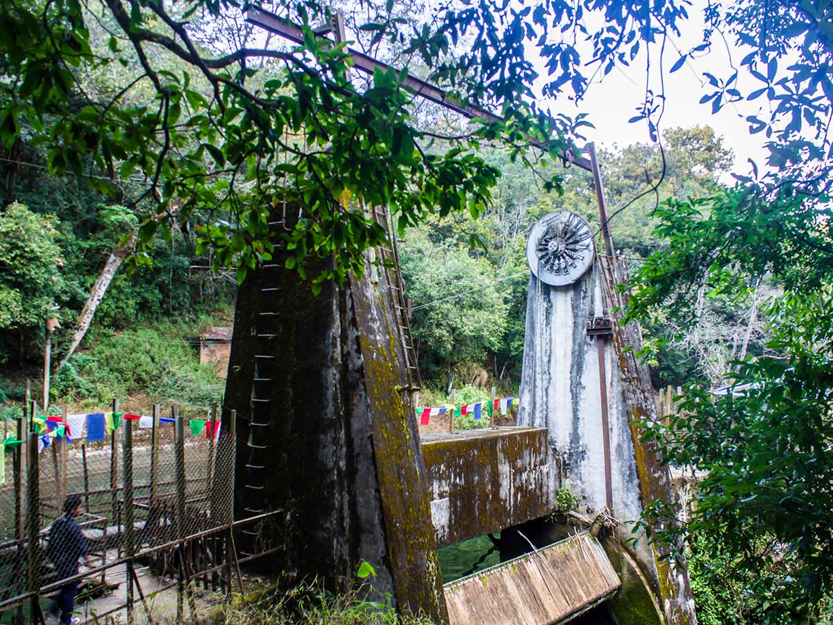
A large pipe carrying water to Kathmandu flanks the concrete steps for the first 328ft before the trail, edged by trees, gradually climbs uphill. Pass by small houses and say hi to the smiling locals as they wave and wish you luck. Just beyond the houses, you’ll see a waterfall cascade over a huge boulder. After walking for almost 1.0mi, you’ll climb up the stairs to the Sundarijal reservoir, where your first army checkpoint awaits. Here you can purchase your permits for the National Park area.
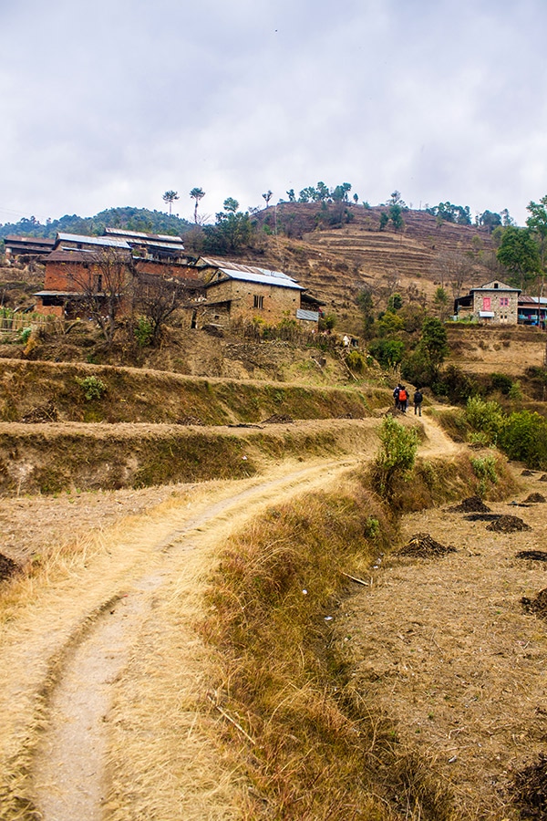
The trail becomes steeper from the checkpoint until you reach the end of the first climb for views of the classic Nepali countryside. From here, the trail is all uphill and passes by a few thatch-roofed homes of the Tamang and Newar people. You’ll be able to see grains drying in the courtyards, as well as bundles of garlic and corn, hung from the roofs. After walking for another 1 km, gaining an elevation of 820ft, you’ll reach Mulkharka. Like other settlements of Nepal, Mulkharka is a beautiful blend of different ethnic groups. Given the fact that Mulkhara is the last community on the trail to Chisapani, it is an ideal place to take a rest and have lunch. Mulkharka offers a few small tea shops and cafes serving delicious Nepali cuisine: dal bhat, momos, and many others. Enjoy your lunch with beautiful views of the surrounding hills and Kathmandu Valley.
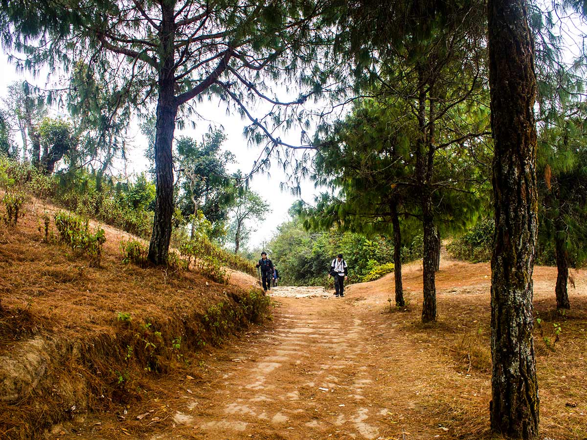
Leaving Mulkharka, the trail transitions into a narrow single track hedged by dense forest. Since there aren’t any opportunities for refreshments until you reach Chisapani, it is a smart idea to fill up your water bottles and load up on any snacks you might want in Mulkharka. This section of the trail is quite peaceful, making it a perfect time to get lost in your thoughts. Take your time on the steep trail—it has an elevation gain of 1575ft—to Burlang Bhanjyang. Walk slow and take occasional breaks to catch your breath. After reaching Burlang Bhanjyang at 1508.1mi, reward yourself with the outstanding sweeping vistas of the surrounding peaks of Langtang Himal, Dorje Lhakpa, and Gauri Shankar, to name a few.
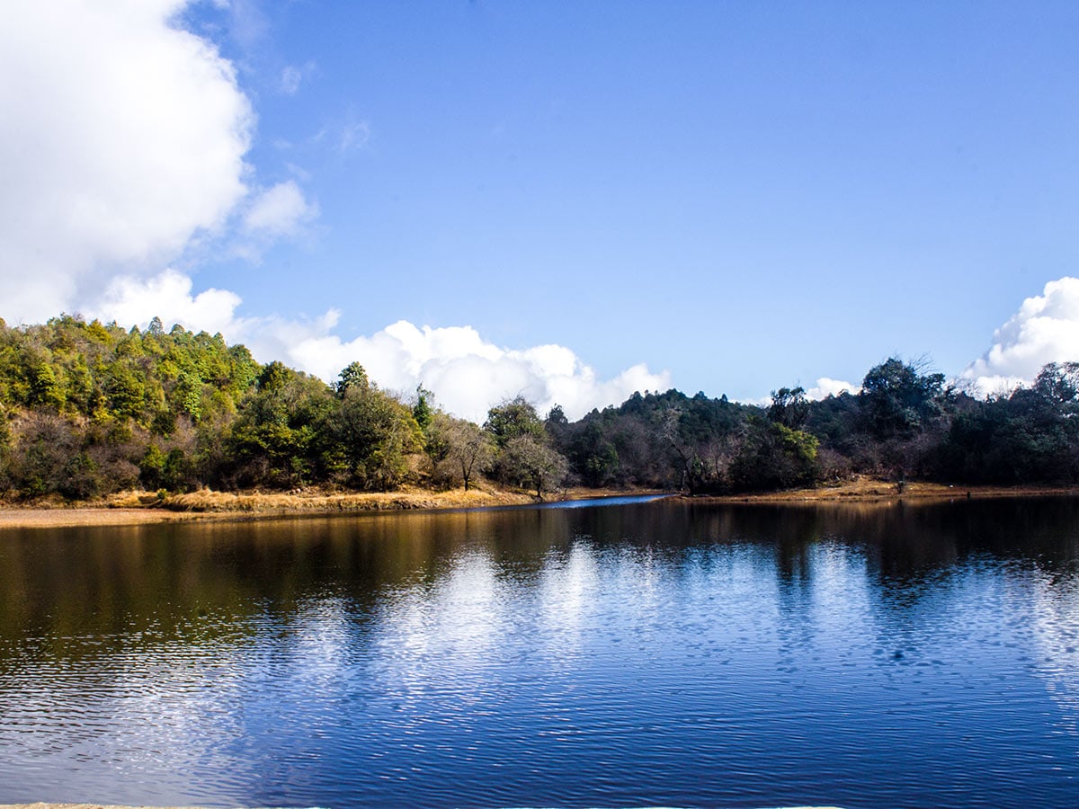
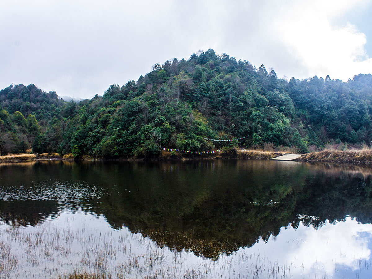
From Burlang Bhanjyang, it is a 984ft descent to Chisapani. Although the walk to Chisapani from Bhanjyang is almost 1.9mi, it will take you about 30-45 minutes. Chisapani is home to an abundance of lodging options. If you’re here during peak season, be sure to book your accommodation in advance. If you’re up for a little more walking, there’s a dhaap (small pond) worth checking out, southeast of Chisapani on the way to Nagarkot.
You can decide to stay in Chisapani for the night to catch the incredible sunset and next-morning sunrise. Though if you’re short on time, grab a quick bite to eat (noodle soup!) before making your way back along the same path you took from Sundarijal. Once back in Sundarijal, board the bus at the designated stop return to Kathmandu.
Insider Hints
Check out our hiking route from Chisapani to Nagarkot and make it a 2-day hike!
Buy some drinks and snacks at Mulkharka. There won’t be any shops along the way right until you reach Chisipani.

Similar hikes to the Kathmandu to Chisapani hike
Champadevi
Sitting in the southeast of Kathmandu Valley resides Champadevi, a spectacular hill that hosts an important shrine for Hindu pilgrims.…
Dahachowk
Dahachowk is a culturally and historically significant place in the western outskirts of Kathmandu Valley. Quiet hilltop villages can be…
Panauti to Namo Buddha
Sitting at an altitude of 5709ft, Namo Buddha is a small village set atop a beautiful hill with…
Alois Mondran 5 years ago
One of the best hike to visit in Kathmandu. Do not miss this, it's beautiful! A must do!
Jess A. 5 years ago
The deep valleys were fantastic. Unlike most of the hikes, there are snow-capped mountain peaks that look absolutely gorgeous.
jada kurt 5 years ago
One of the best spot to see number of unnamed waterfalls. It has breathaking views of all the surrounding vistas and valleys and you can see many different parts of the forest.