Champadevi hike
View Photos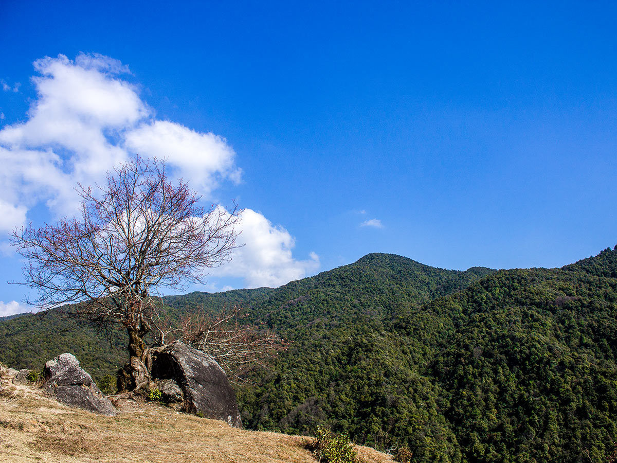
Champadevi hike
Difficulty Rating:
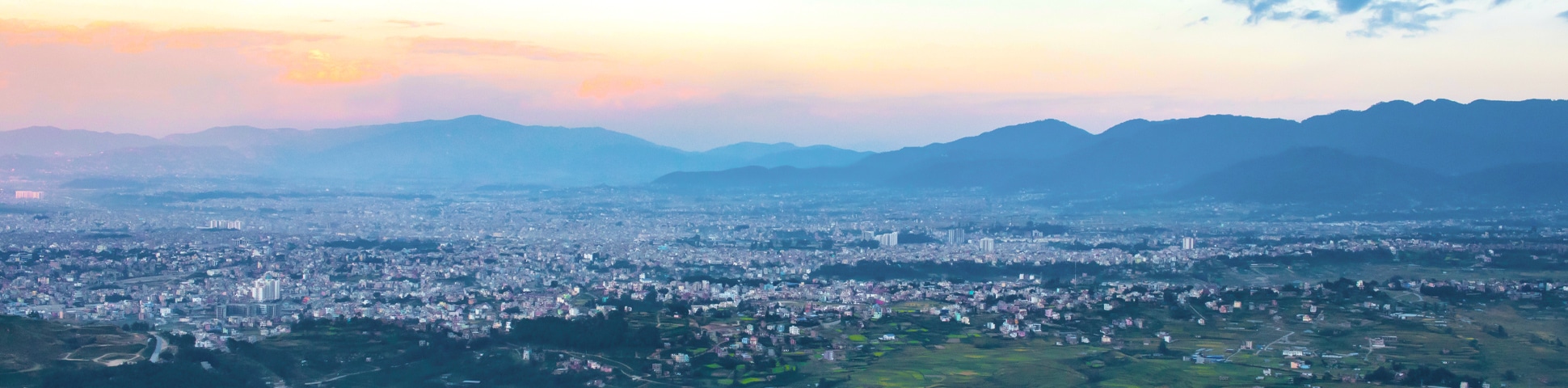
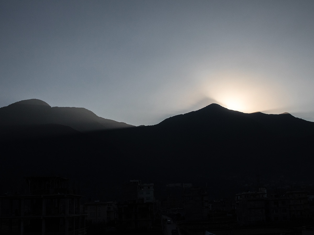
Sitting in the southeast of Kathmandu Valley resides Champadevi, a spectacular hill that hosts an important shrine for Hindu pilgrims. Following the trail, you’ll also reach the pinnacle of an adjacent hill, Chandragiri, which offers equally rewarding panoramic views of the mountains and the valley below.
Getting there
Get the bus from Ratna Park Bus Stop to Dakshinkali. Ask the driver to drop you off at the Khahare Bus Stop for the Champadevi trailhead. You can also book a taxi.

About
| When to do | March to May and September to November |
| Backcountry Campsites | No |
| Family friendly | No |
| Route Signage | Good |
| Crowd Levels | High |
| Route Type | Out and back |
Champadevi
Elevation Graph
Weather
Route Description for Champadevi
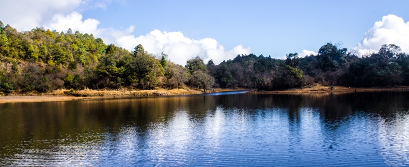
The Champadevi trail makes for an excellent day hike and is perfect for outdoor enthusiasts and nature lovers alike. You’ll need to get an early start to the day and board a bus (or book a taxi) from the Ratna Park Bus Stop to Dakshinkali. Be sure to ask the driver to let you off at the Khahare Bus Stop, which is just beyond the serene Taudaha Lake. You might choose to wear a face mask to avoid inhaling the dust that the bus will inevitably kick up.
Once off the bus, you’ll see a small sign indicating you’ve reached the Champadevi Hiking Trail. Head northwest from the bus stop to begin your hiking adventure.
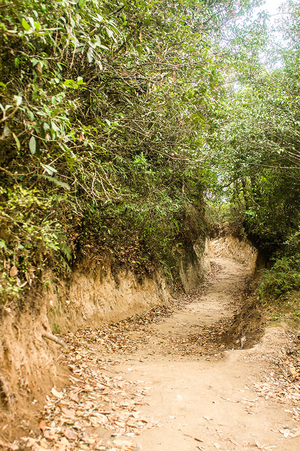
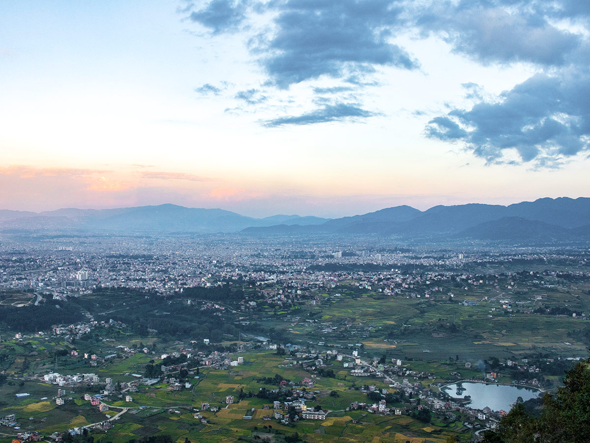
The first kilometer has you trekking along asphalt roads through one of the least interesting sections of the trail, though you’ll be able to take in the scene of Kathmandu’s outskirts.
At the end of the black-topped road, you’ll come across a small Buddha shrine next to a huge tree that opens up to a sweeping view of the valley below. Take the opportunity to enjoy the shade and unencumbered lookout before readying yourself for another 656ft to arrive at an intersection just before Bosan, a sprawling hill settlement. The right-hand turn will lead you to Bosan Danda, a popular viewpoint overlooking Kathmandu Valley. Meanwhile, the left route will take you along the off-the-beaten-path to Champadevi.
You’ll follow the path for another 0.7mi west, passing through traditional Nepali villages at the top.
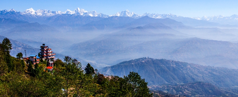
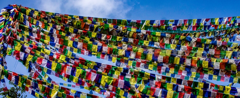
The next section is the most challenging of the hike, a 1.4mi stretch that climbs 1969ft to the top. Here you’ll follow the trail through dense forest for 2297ft until you reach a fork. From here, head northwest and take a right for the main trail. Taking a left will take you down to Hattiban Resort. The strenuous climb of 1969ft is a mixture of single tracks, steep trail, and graveled path. Walk at a steady pace and take breaks if necessary. Don’t forget to look down to see how far you’ve climbed. Enjoy the breathtaking views of the lush green hills blanketed with colorful flowers, and see if you can spot the local wildlife, including a variety of birds. After walking for 1.0mi in a northwest direction, you’ll finally make it to the Champadevi summit. Check out the small Hindu temple and prayer flags found on the hillside. Prayer flags are an important signifier for marking the topmost part of a hill.
Relax at the top and celebrate your hike with a picnic lunch. The point where the Champadevi Temple is located has somewhat blocked views. So, if you want to enjoy unhindered views of the mountains and the valley, walk an additional 0.9mi. Return carefully down from the trail the same way you came. Board the bus at the Khahare Bus Stop and head back to Kathmandu.
Insider Hints
There isn’t anywhere to grab lunch beyond the village of Bosan, so it’s best to bring a packed lunch and extra water with you or to store up supplies in Bosan.
Walk the additional 0.9mi for better views.

Similar hikes to the Champadevi hike
Sankhu to Nagarkot
Sankhu is an ancient Newari town on the eastern outskirts of Kathmandu Valley and is also home to the temple…
Panauti to Namo Buddha
Sitting at an altitude of 5709ft, Namo Buddha is a small village set atop a beautiful hill with…
Kathmandu to Chisapani
A small hill station in the northern outskirts of Kathmandu, Chisapani offers stunning views of lush green hills, deep valleys,…
Matthew P. 4 years ago
Superb hike that goes with plenty of challenge. It was truly a remarkable experience. Would love to try doing it before sunrise next time.
Aizen 4 years ago
Amazing scenery of the valley and mountains! A great place with interesting culture!
Chloe L. 5 years ago
The viewpoint offers lots of incredible views. I was really satisfied. Well worth the sweat.
jada kurt 5 years ago
The summit views were beautiful and absolutely peaceful. I would highly recommend it. This trail felt longer than I thought it would be but when you finally get to the top you can really say that it is very reasonable.
Ralph B. 6 years ago
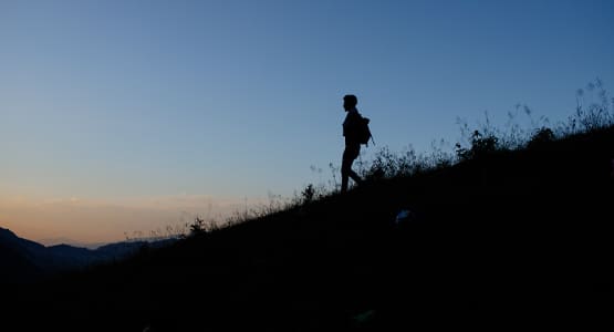
The place looks amazing just before dawn! It gives a dramatic feel to the scenery!