
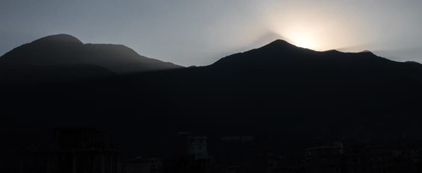
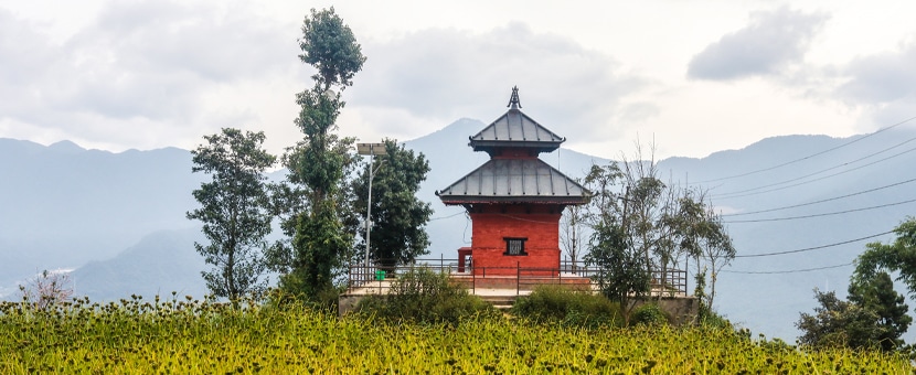
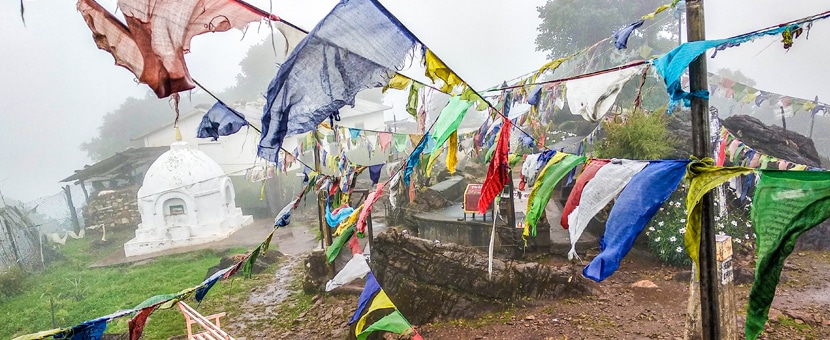
From Chisapani to Nagarkot hike
View Photos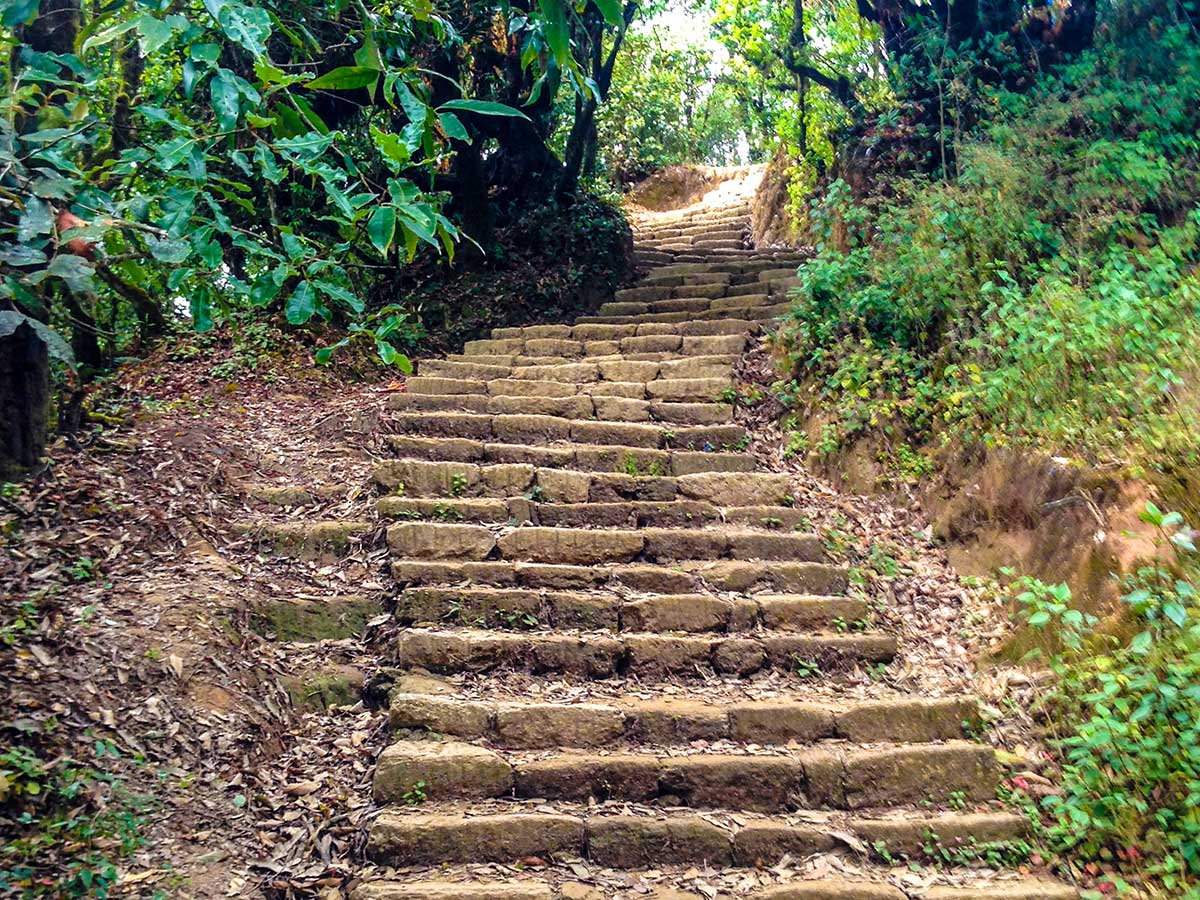

From Chisapani to Nagarkot hike
Difficulty Rating:
The Chisapani to Nagarkot hiking trail is a popular day hike if you’re in Kathmandu. This invigorating hike offers a refreshing time in nature, replenishing your body, mind, and soul as you trek. The 13.7mi hike features a long stretch encircled by forests with a couple of hills to challenge the legs. It is best if you start early as it may take more than 8 hours to reach Nagarkot from Chisapani.
Getting there
The hike starts in the village of Chisapani, about 19.6mi northeast of Kathmandu. Take a Jeep to get there.

About
| When to do | March to May and September to November |
| Backcountry Campsites | No |
| Family friendly | No |
| Route Signage | Average |
| Crowd Levels | Low |
| Route Type | One Way |
From Chisapani to Nagarkot
Elevation Graph
Weather
Route Description for From Chisapani to Nagarkot
As the starting point of this hike is Chisapani, which is about 19.6mi northeast of Kathmandu, you might like to hire a Jeep to get there (about $50 USD per Jeep). You can also hike 5-6 hours up to Chisapani from Sundarijal. If you choose this option, you’ll need to stay overnight in Chisapani and return to Nagarkot the next day.
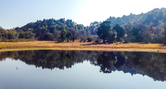
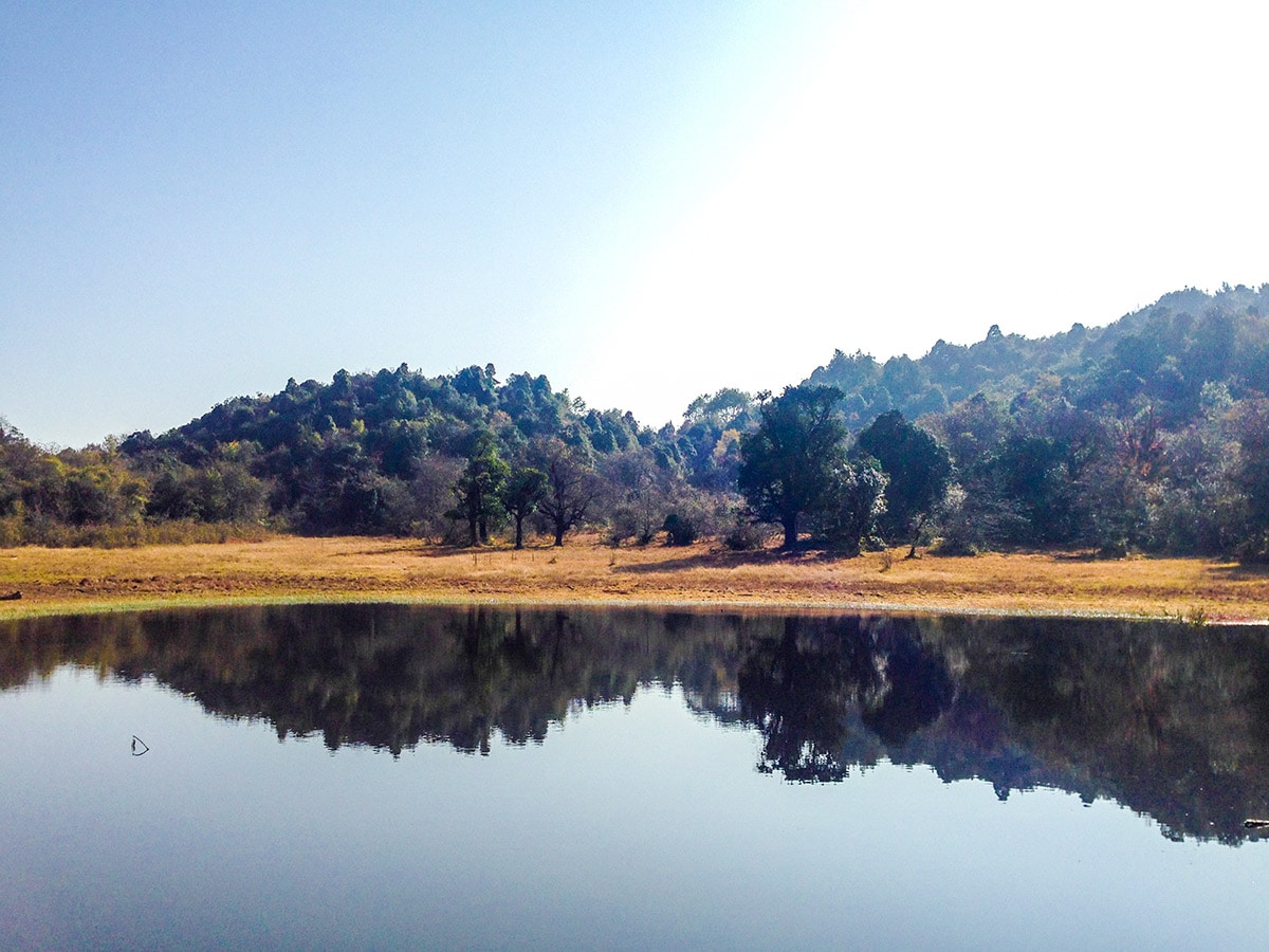
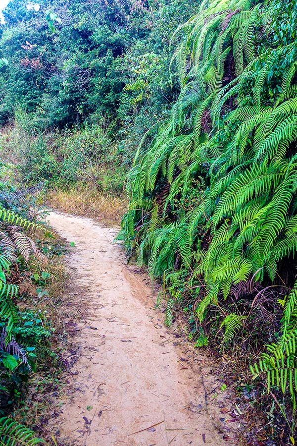
Starting at Chisapani, head southeast on a steep downhill trail where you may encounter a variety of birds and flowers on this stage of the hike. After walking close to 1.8mi, you’ll reach a small body of water known as Nagamati Dhaap. This small lake is quite serene. Find a quiet spot to sit and enjoy a snack along the narrow path circling the lake.
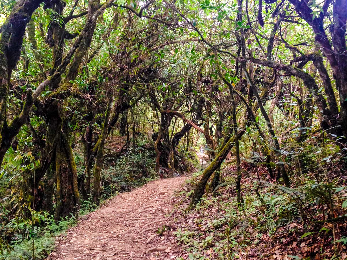
The next section of the hike is quite demanding with an elevation gain of 1690ft and a loss of 1237ft. The trail opens into a dense forest of the National Park after passing Nagamati Dhaap. Take occasional breaks and keep hydrating your body. Beware of leeches in this section as the lack of sun creates a leech-friendly environment. The trail is straightforward, so keep at it for 4.7mi until you reach the highest point of this hike, known as Jhule View Point (7306ft). Break for lunch and refreshments at Jhule village.
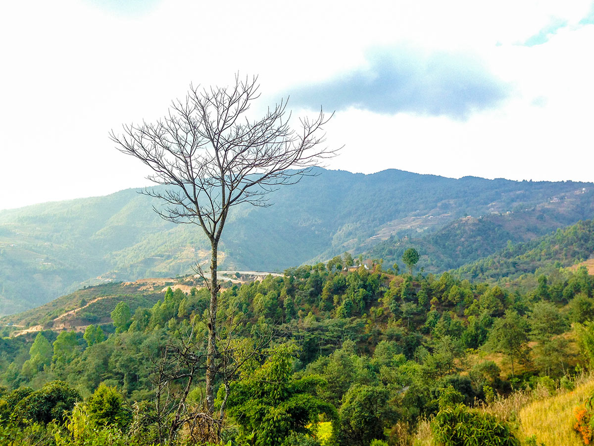
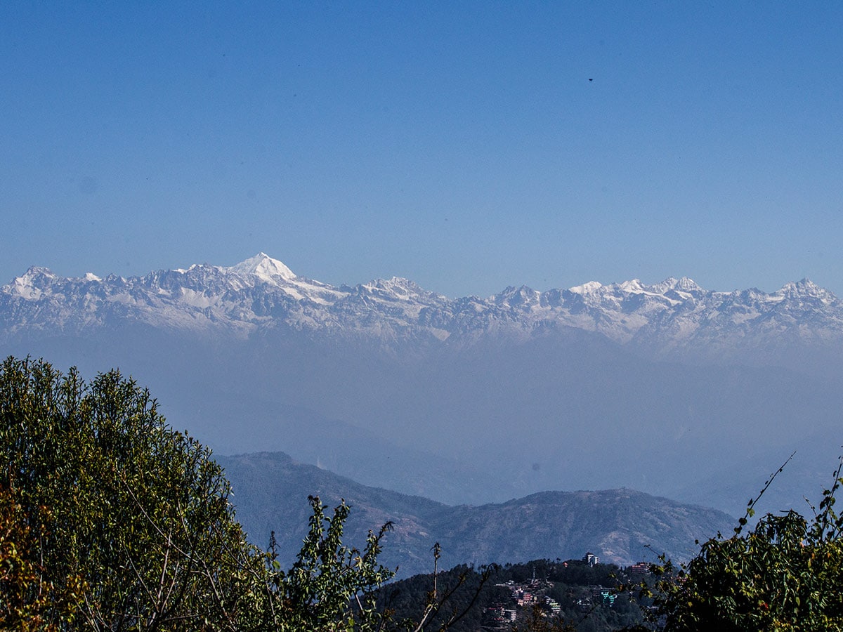
You still have 7.5mi left to complete, but the remaining section is not as demanding as the previous segment. After leaving Jhule, walk for 1640ft until you reach a fork in the trail. You’ll see a long stretch on your right that spans as far as the eyes can see. Avoid the right and stick to the main trail. Descend down about 1640ft, covering almost 2.3mi. Eventually, you’ll reach a small settlement, Lapsephedi. At the end of Lapsephedi village, you reach another fork in the trail. Take the left to stay on the main hiking trail and follow the narrow and flat path through numerous villages. Walking for another 1.4mi will take you to another village, Jarsing Pauwa. Jarsing Pauwa has a small school, a bus stand, and a significant number of houses and restaurants. If the weather is clear, enjoy the mountain panoramas and views of the valley.
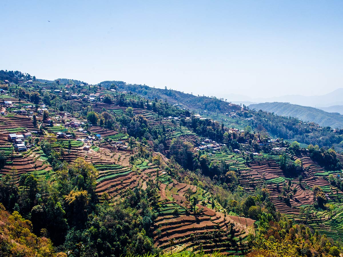
From Jarsing Pauwa Bus Stand, avoid the main roads and head south along the single track—which looks like an off-the-beaten path. This trail also offers stunning views of lush green terraced fields. After walking on this trail for 2.3mi, you reach Kartike Bhanjyang, and from here the beautiful hills of Nagarkot will come into view. You can take a rest here and have some tea and snacks while enjoying the amazing view. Additionally, you can also take in the sweeping mountain panoramas from Kartike. There is a small junction at Kartike Bhanjyang from where, if you divert from the trail and take a right, you’ll reach Sankhu, the eastern outskirts of Kathmandu Valley. Keep on following the trail and ascend a steep path. This is the final section of the trail, and it is about a 984ft climb to Nagarkot from Kartike Bhanjyang. Alternatively, pick up the Nagarkot Eco-Trail after walking for 2461ft from Kartike Bhanjyang.
You know you’re in Nagarkot when you start to see concrete buildings and large settlements. Reward yourself for having completed a challenging hike. Either choose to stay at one of the many lodges at Nagarkot or opt to return to Kathmandu by bus.
Insider Hints
Spend a night in Chisapani before the hike.
There are several good options for lunch in Jhule. Jhule Organic Farm House is one of them.

Similar hikes to the From Chisapani to Nagarkot hike
Champadevi
Sitting in the southeast of Kathmandu Valley resides Champadevi, a spectacular hill that hosts an important shrine for Hindu pilgrims.…
Dahachowk
Dahachowk is a culturally and historically significant place in the western outskirts of Kathmandu Valley. Quiet hilltop villages can be…
Phulchowki
Literally translated as a ‘hill of flowers,’ Phulchowki is one of the highest points in Kathmandu Valley and resides in…
itsmekwans 2 years ago
What are the rates for the Lunch at Jhules?
Matthew P. 4 years ago
The terraces were fantastic! It's the first time I see such a landscape, and they are man-made! Crazy good!
Ryan S. 5 years ago
Thrilling hike to the top, but beware of leeches. Wear appropriate clothing. Believe me, it's not fun to get bitten by those creeps.
Kimbra W. 5 years ago
One of the most quiet hikes I've done in Kathmandu.