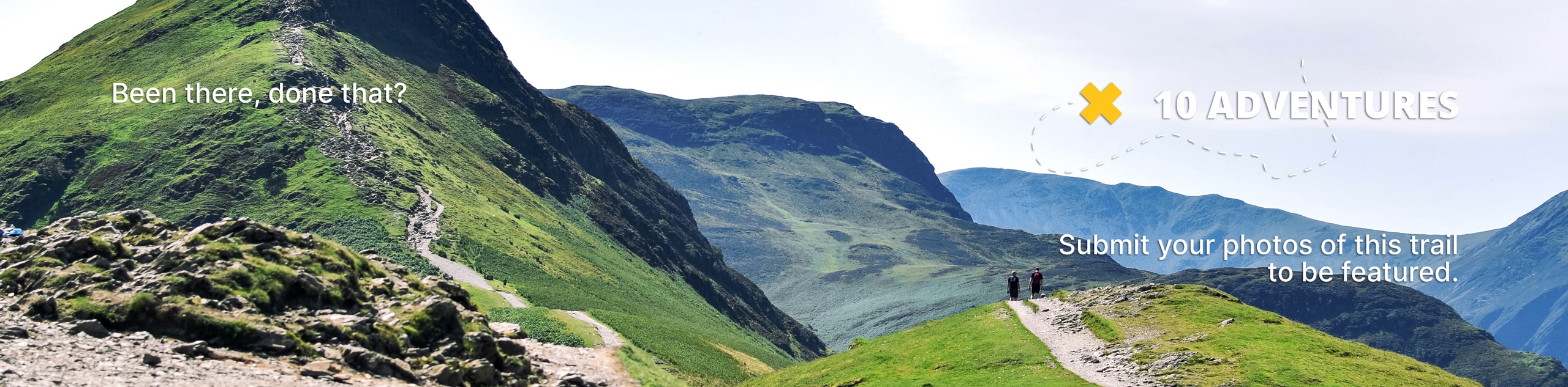
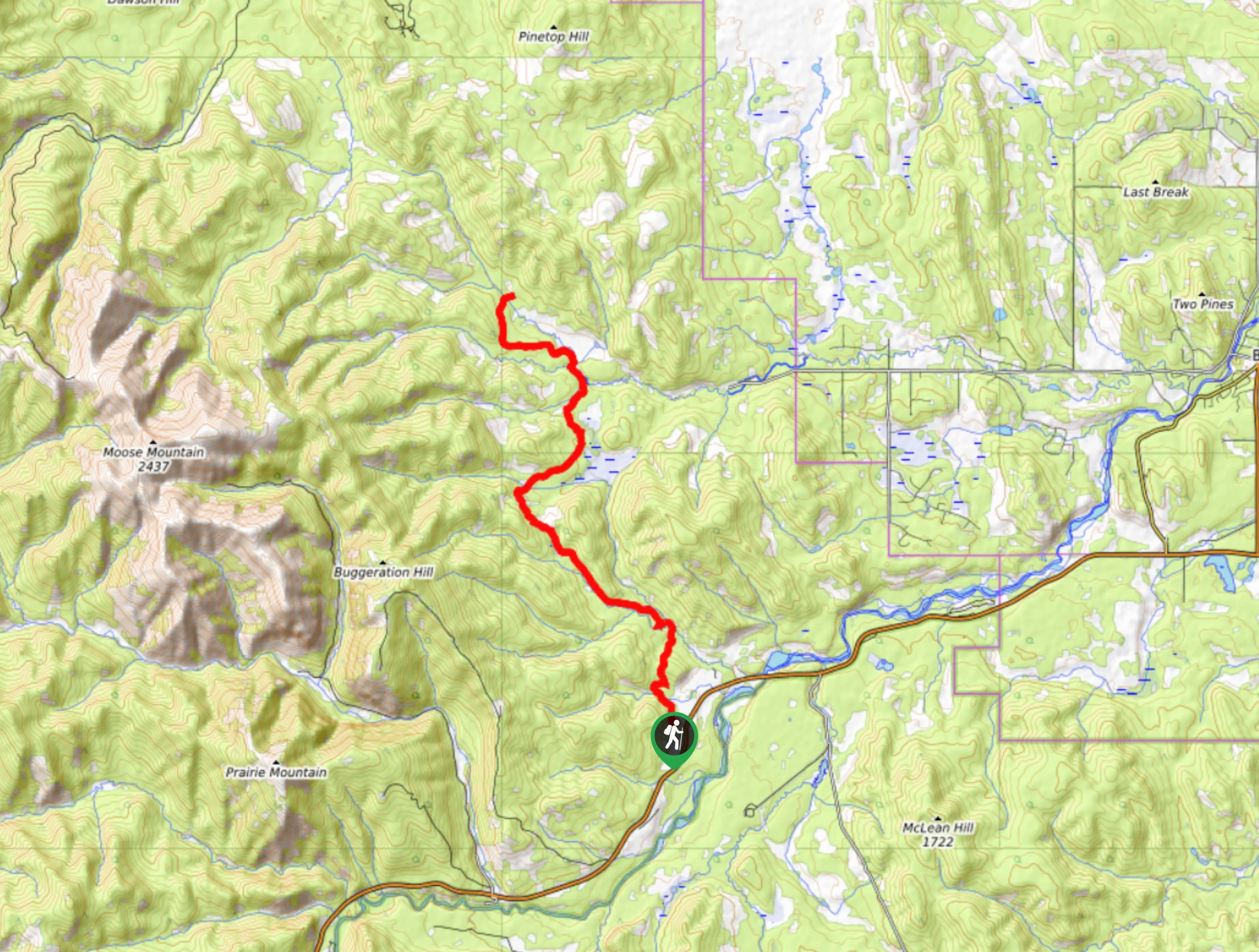
Powderface Creek Trail
View Photos
Powderface Creek Trail
Difficulty Rating:
The Powderface Creek trail in Kananaskis is a popular hiking, biking, and horseback trail, so be aware of traffic when you are using this trail. This route is well-maintained and follows an open bench that offers incredible views of the Elbow Valley. The wildflowers are plentiful midsummer as well.
Getting there
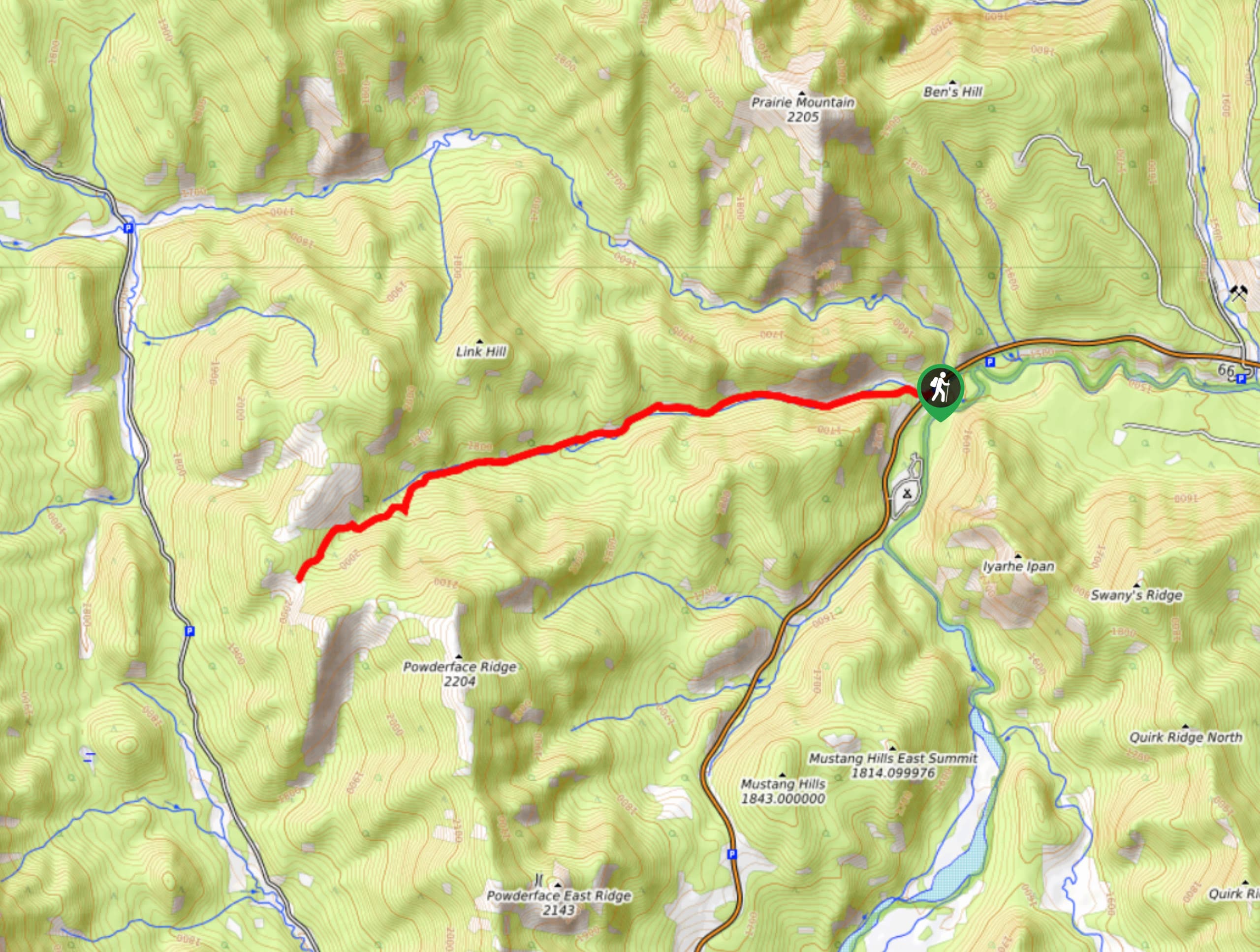
From Bragg Creek, join the AB-22 south followed by the AB-66 west and continue 11.8mi to the Powderface Creek trailhead on your right.

About
| When to do | May-October |
| Backcountry Campsites | No |
| Pets allowed | Yes - On Leash |
| Family friendly | Older Children only |
| Route Signage | Average |
| Crowd Levels | High |
| Route Type | Out and back |
Powderface Creek Trail
Elevation Graph
Weather
Powderface Creek Hike Description
Leaving the parking area, it is easy to find the Powderface Creek trail right away. This can get quite busy; however, due to various activities welcome on this trail, users become spread out. The first half of the trail is gentle and smooth before it becomes slightly steeper with some rocky terrain. The simple out-and-back is easy to follow with plenty of opportunities to create interesting circuits and longer routes.
Similar hikes to the Powderface Creek Trail hike
Gorge Creek Loop
Hiking the Gorge Creek Loop requires some route knowledge and a bit of extra effort as it is not as…
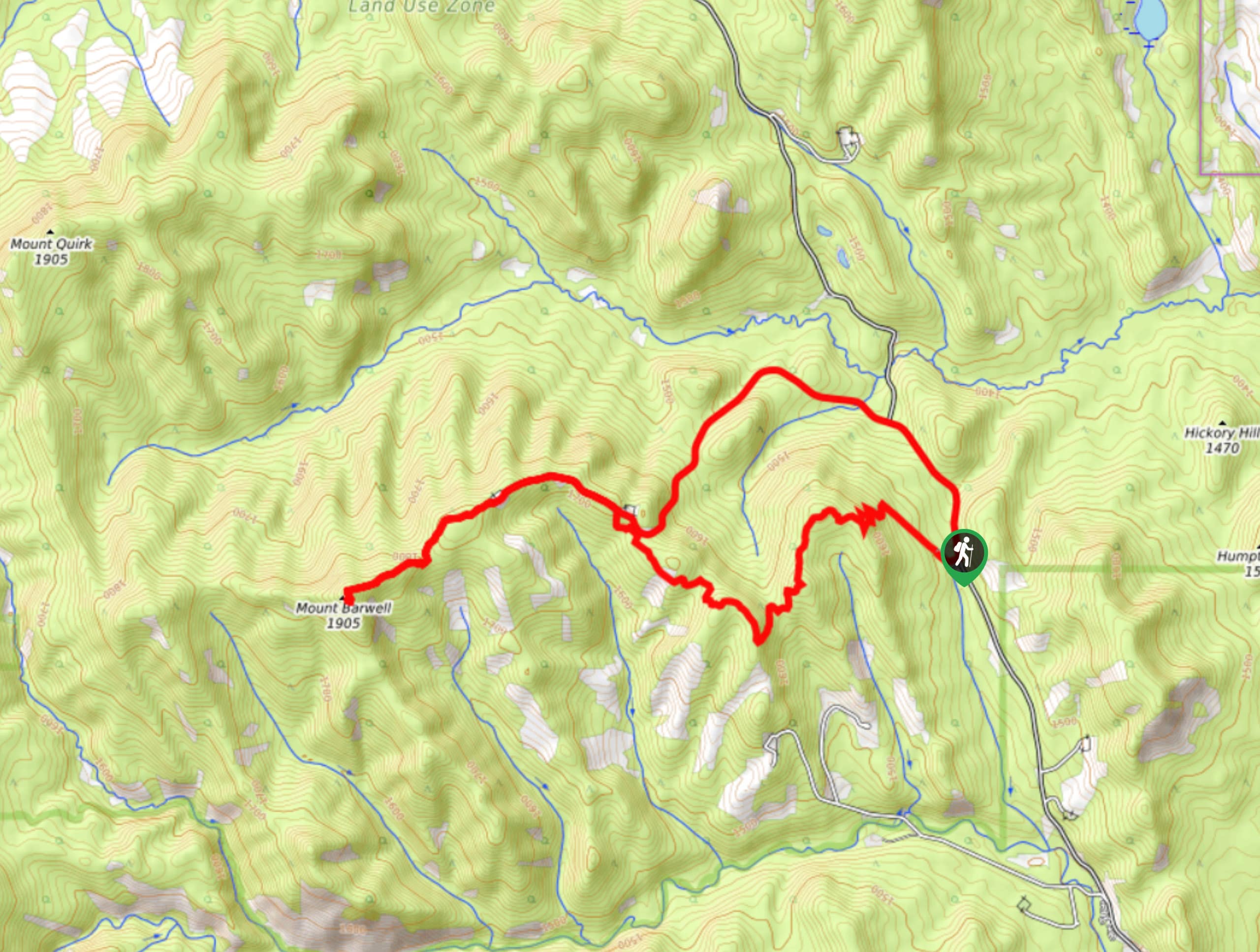
Barwell Trail
Hiking the Mount Barwell Trail is a half to full day effort that is very rewarding. With minimal crowds and…
Tom Snow Trail
The Tom Snow trail is a simple one. It follows mostly decommissioned fire roads between Elbow River and Sibbald Creek…
Comments