Junction Creek to Junction Falls
View Photos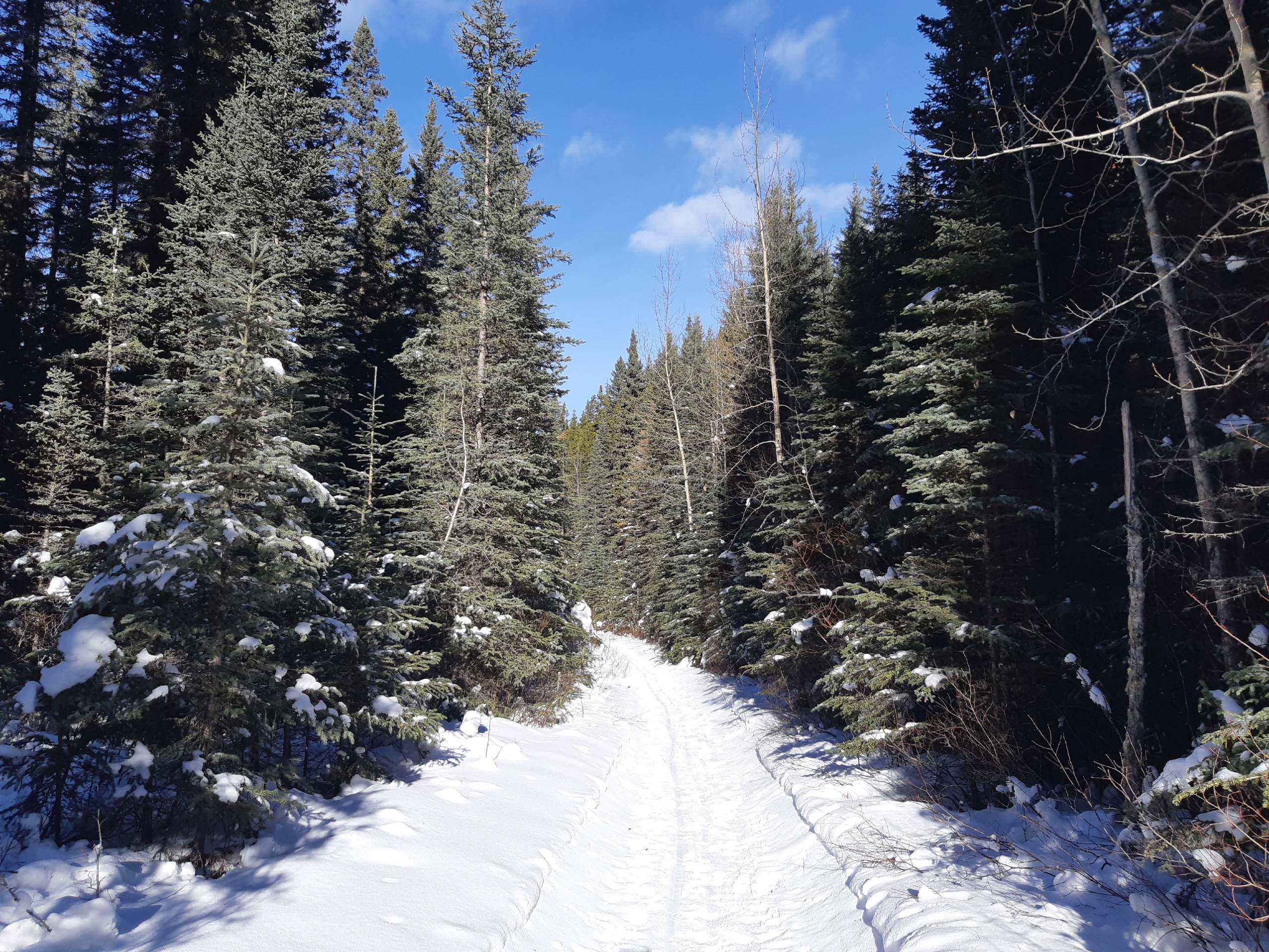
Junction Creek to Junction Falls
Difficulty Rating:
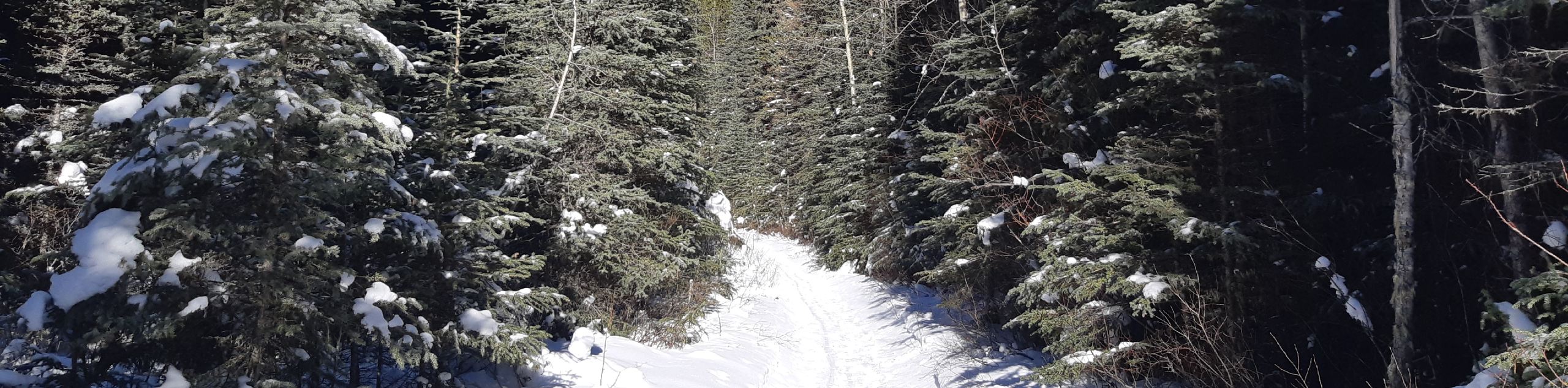
The trail to Junction Falls via Junction Creek is a great intermediate hike that crosses some water and otherwise is straightforward and easy to follow. It passes through an old logging camp that is interesting to hike through. You will cross a small stream later on near an old log cabin. This trail is easy to follow and holds a lot of history in the area.
Getting there
From Turner Valley, AB, join Highway 546 and continue driving for 22.4mi before pulling into the parking area for Junction Creek along the Sheep River. You will need to follow the road where it splits before looping around to the eastbound lane where you will park.

About
| When to do | June-October |
| Backcountry Campsites | No |
| Pets allowed | Yes - On Leash |
| Family friendly | Yes |
| Route Signage | Average |
| Crowd Levels | Moderate |
| Route Type | Out and back |
Junction Creek to Junction Falls
Elevation Graph
Weather
Junction Creek Trail Description
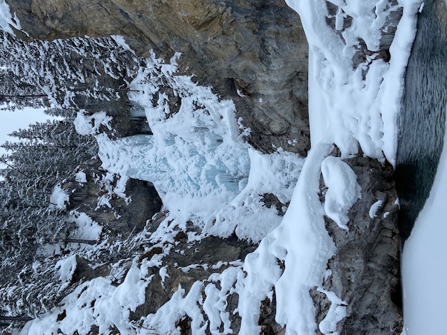
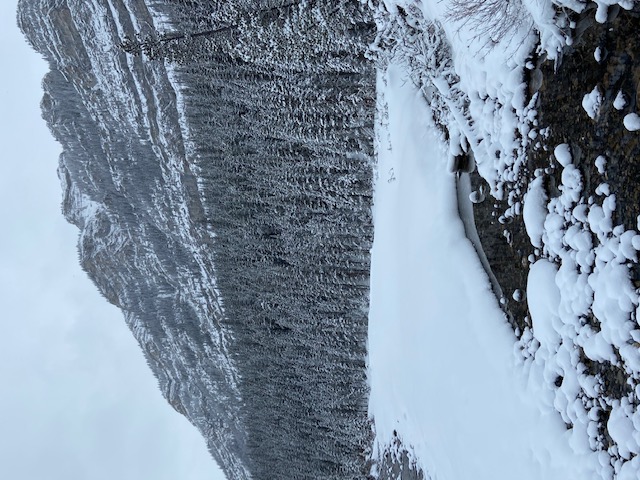
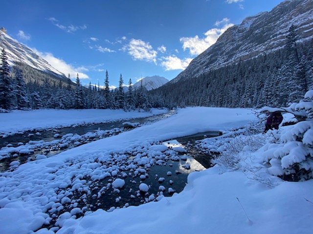
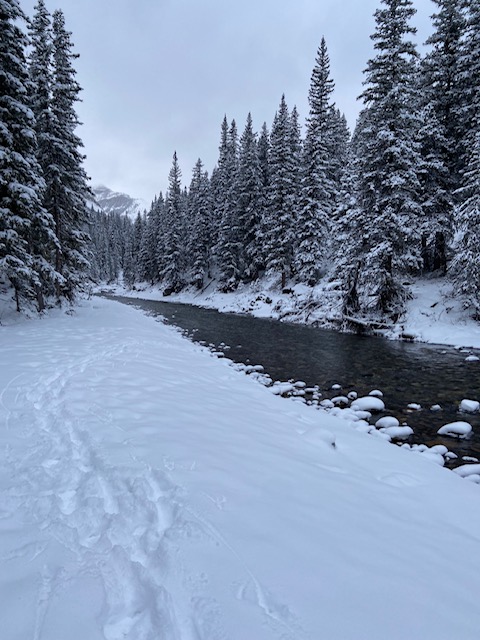
The Junction Creek and Falls hike starts off with a river crossing of the Sheep River before making its way to Junction Creek. This is an early obstacle, but it is easily conquered. The rest of the trail is wide and smooth, often used for hiking, running, and mountain biking. You’ll join the Tunnel-O-Fun route after crossing the river and hike parallel to Junction Creek. At 1.7mi, you will meet the Tunnel-O-Fun loop junction, but you will want to continue straight to the falls. In 1640ft, you will pass an old logging camp. 0.6mi further, there is a small stream crossing that is manageable most of the time. You will reach the falls 1.6mi from the stream crossing after travelling along a stream bed for a section of the trail. The falls are your turn around point.
Find other amazing hikes in Kananaskis Country
- Kananaskis – Smith Dorrien Trail: Chester Lake, Tent Ridge, Burstall Pass, West Wind Pass and Rummel Lake.
- Bragg Creek and Sheep River Provincial Park: Prairie Mountain, Powderface Ridge, Nihahi Ridge and ForgetMeNot Ridge.
- Kananaskis Trail: Troll Falls, Rawson Lake, Wasootch Ridge, Sarrail Ridge and Pocaterra Ridge.
Similar hikes to the Junction Creek to Junction Falls hike
Gorge Creek Loop
Hiking the Gorge Creek Loop requires some route knowledge and a bit of extra effort as it is not as…
Powderface Creek Trail
The Powderface Creek trail in Kananaskis is a popular hiking, biking, and horseback trail, so be aware of traffic when…
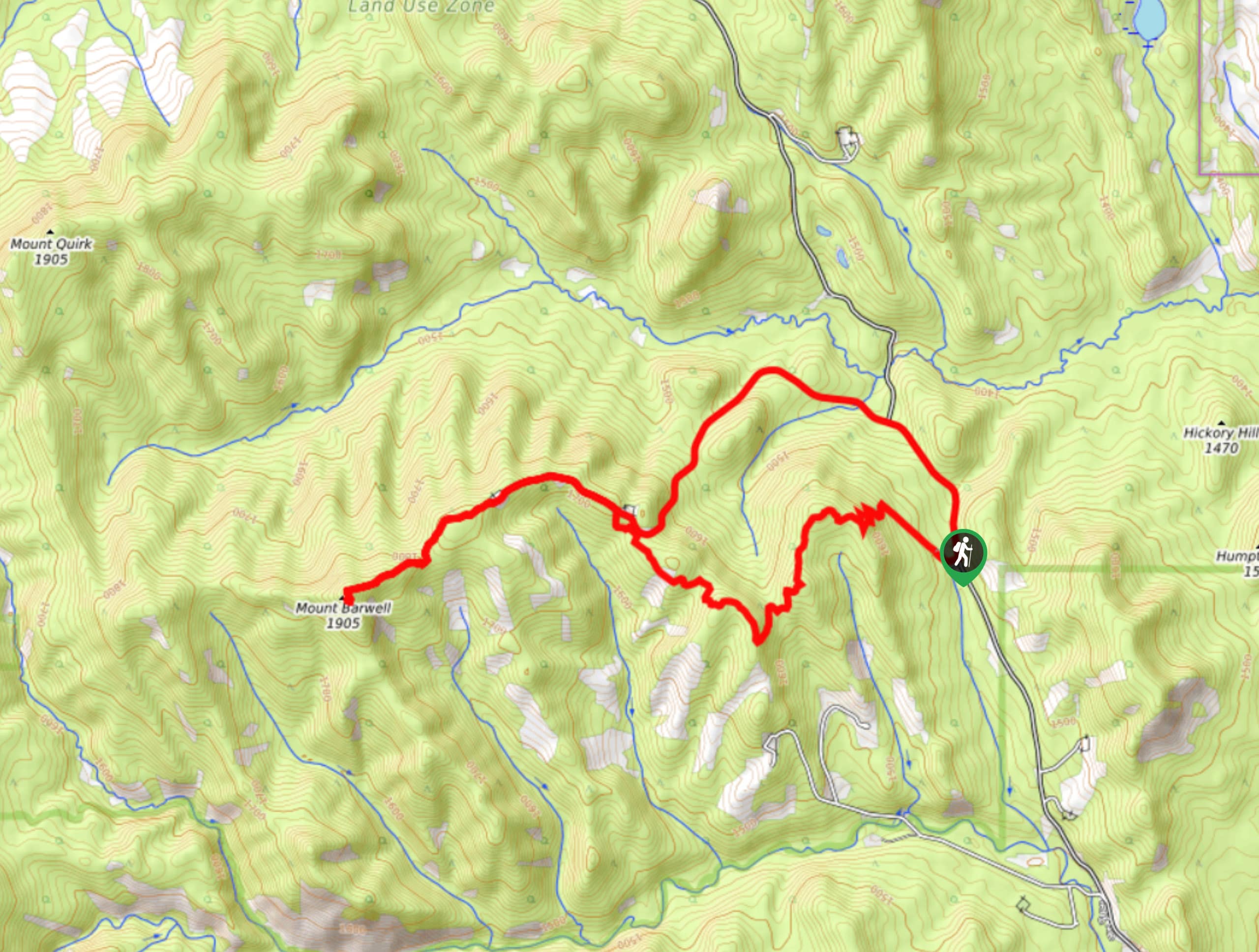
Barwell Trail
Hiking the Mount Barwell Trail is a half to full day effort that is very rewarding. With minimal crowds and…
Comments