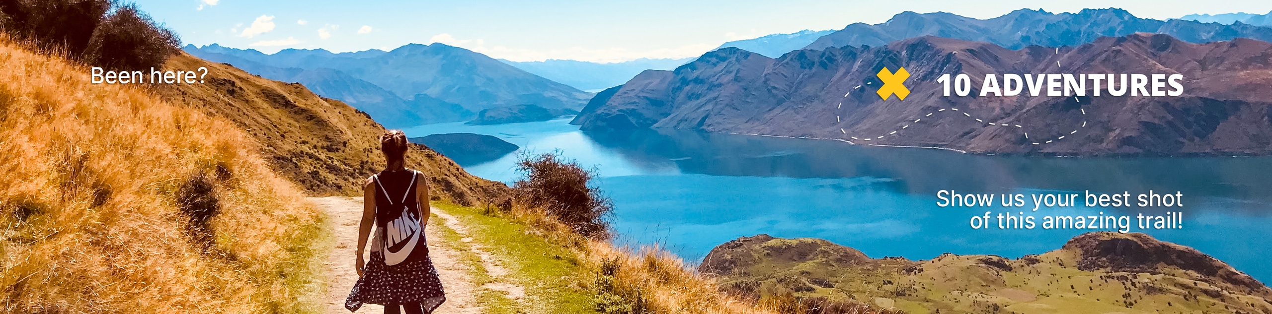
Gorge Creek Loop
View Photos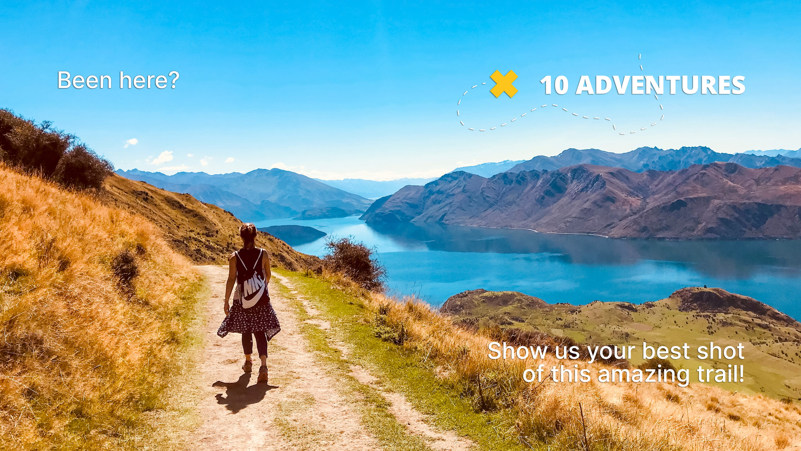
Gorge Creek Loop
Difficulty Rating:
Hiking the Gorge Creek Loop requires some route knowledge and a bit of extra effort as it is not as well-maintained as other Kananaskis trails. It is a beautiful loop that circumnavigates other trails in the area. Take in the views of the vast and remote wilderness that surrounds you on this gentle full day route.
Getting there
From Turner Valley, AB take the AB-546 westbound for 9.3mi before joining Sheep River Road. Stay on this road for 9.3mi before turning right for the Gorge Creek day-use area.

About
| When to do | May-September |
| Backcountry Campsites | Three Point Mountain Campground |
| Pets allowed | Yes - On Leash |
| Family friendly | No |
| Route Signage | Average |
| Crowd Levels | Low |
| Route Type | Circuit |
Gorge Creek Loop
Elevation Graph
Weather
Gorge Creek Loop Trail Description
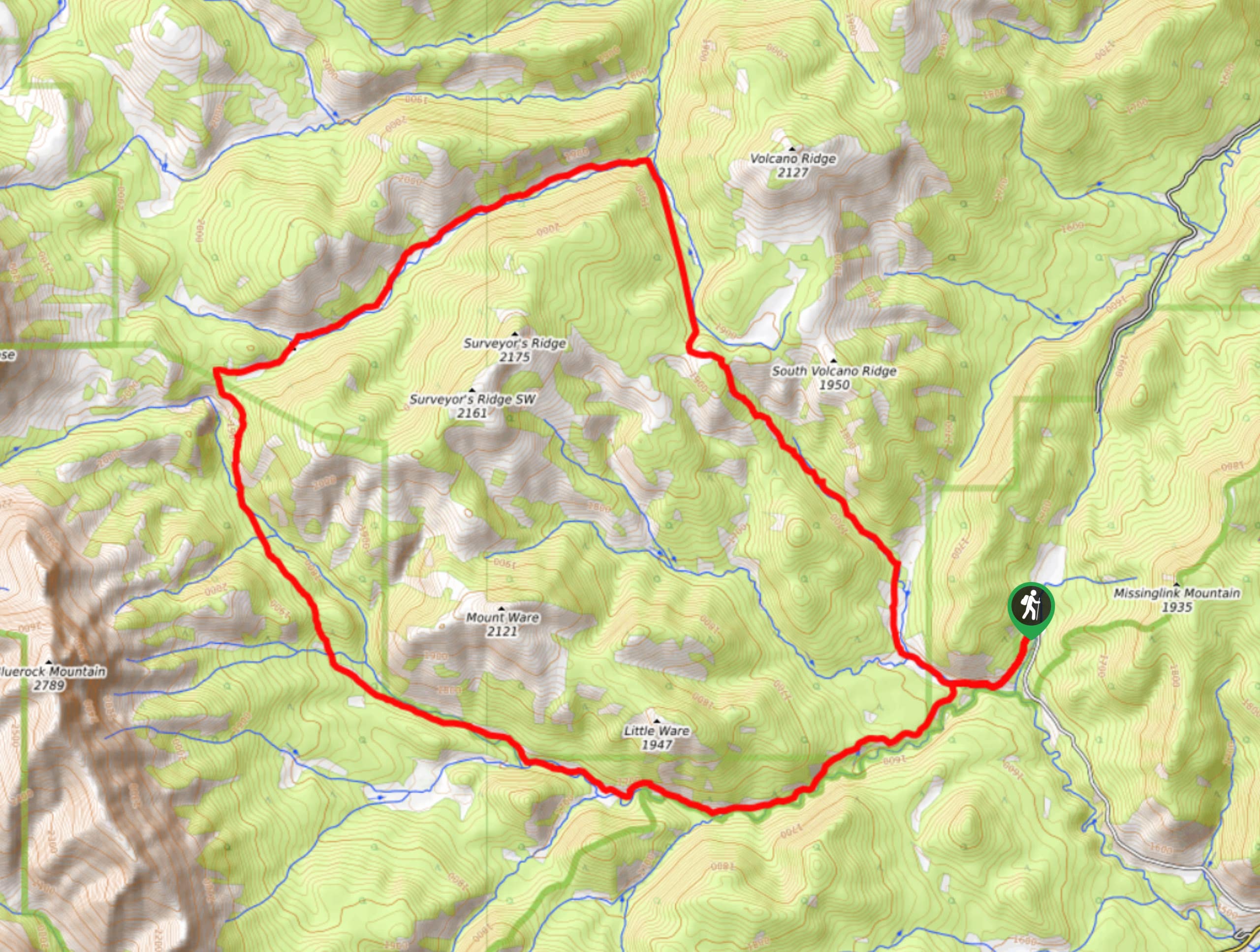
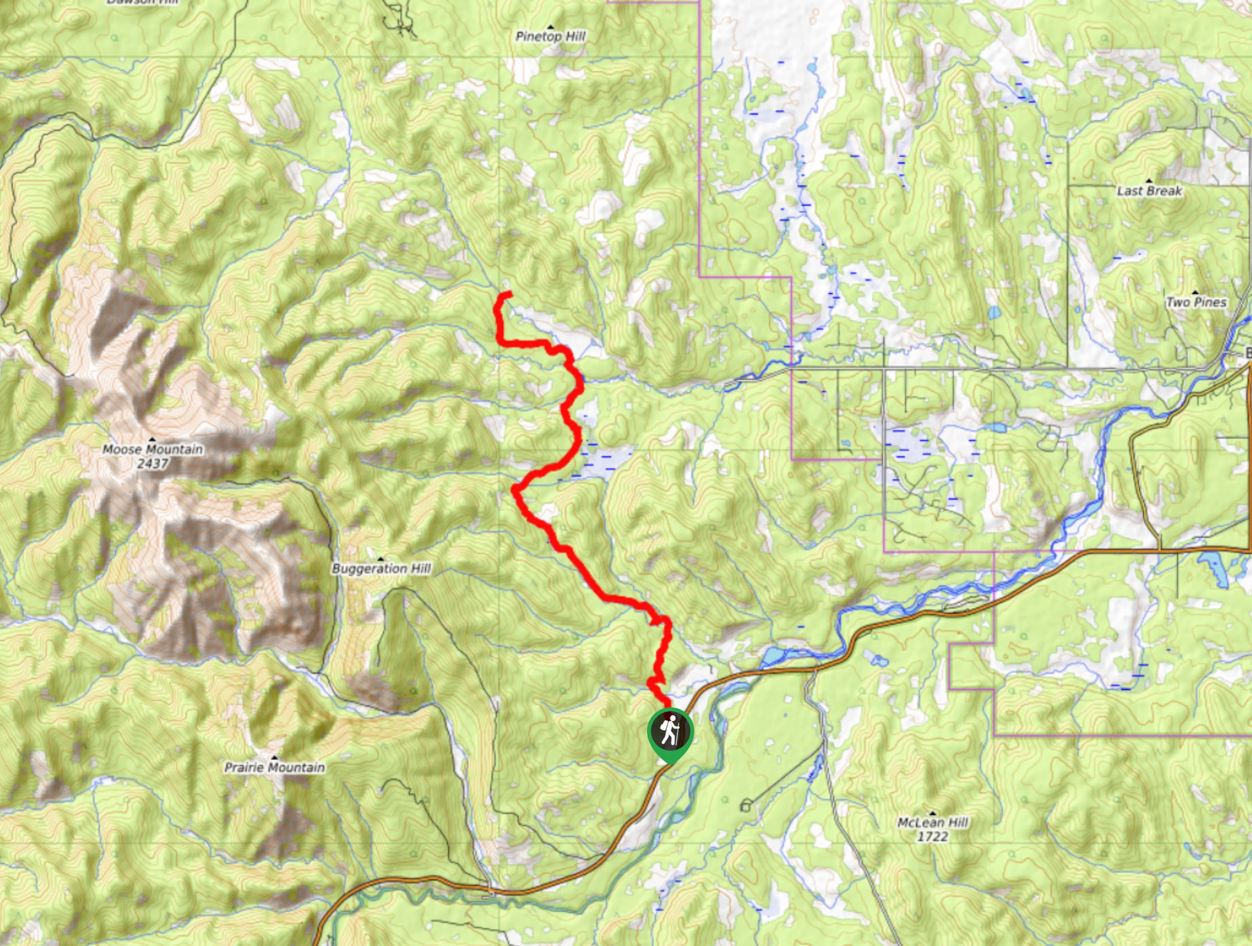
The Gorge Creek Loop is a full-day loop that is packed with viewpoints and unforgettable scenery. Where the prairies meet the Rockies, you will find unique beauty on the trail. It passes by shorter routes, such as Volcano Ridge and Prospector’s Ridge. From the parking area, travel 2953ft before turning right towards Volcano Ridge. Come to a junction after another 0.7mi and stay left avoiding the Volcano Ridge trails. After another 0.6mi, come to a junction for both Surveyor’s and Prospector’s Ridge. Hike straight through, following the Gorge Creek route. From here, you will begin to curve west coming to the Three Point Mountain campsite. Descend to the south passing junctions for Mount Ware and Little Ware as well as the Prospector’s Ridge route. Make your way back to the parking area for a full circuit.
Similar hikes to the Gorge Creek Loop hike
Powderface Creek Trail
The Powderface Creek trail in Kananaskis is a popular hiking, biking, and horseback trail, so be aware of traffic when…
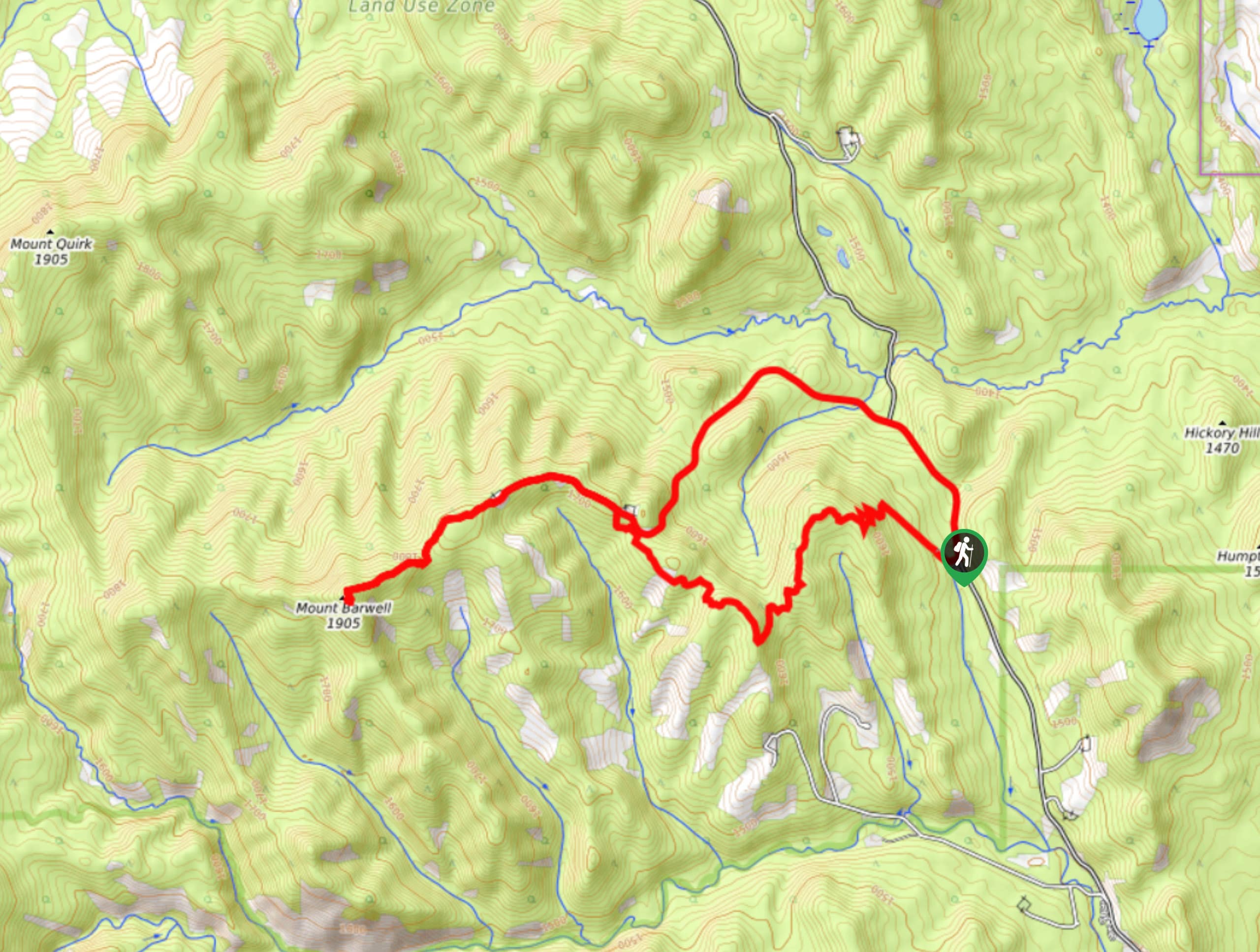
Barwell Trail
Hiking the Mount Barwell Trail is a half to full day effort that is very rewarding. With minimal crowds and…
Tom Snow Trail
The Tom Snow trail is a simple one. It follows mostly decommissioned fire roads between Elbow River and Sibbald Creek…
Comments