
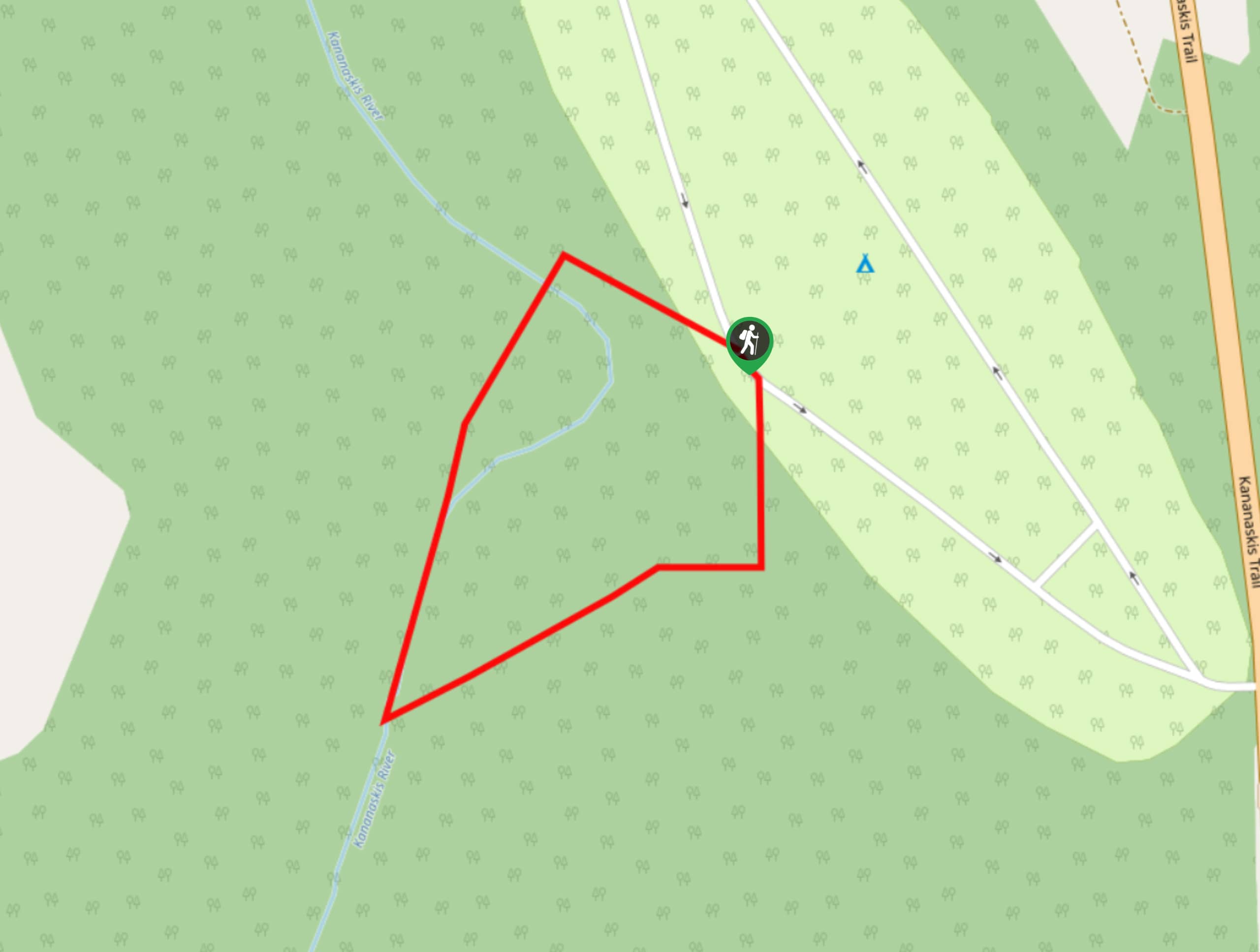
Eau Claire Hiking Trail Loop
View Photos
Eau Claire Hiking Trail Loop
Difficulty Rating:
This short and sweet trail is a great way to stretch the legs along Highway 40. The Eau Claire Hiking Loop Trail is an interpretive trail that has educational plaques along the route. The views from here are excellent considering the short distance of this quick stroll.
Getting there
Use the exit from the Trans Canada Highway to join Highway 40 and travel southbound for 21.7mi before turning right for the Eau Claire day-use area.

About
| When to do | May-September |
| Backcountry Campsites | No |
| Pets allowed | Yes - On Leash |
| Family friendly | Yes |
| Route Signage | Average |
| Crowd Levels | Moderate |
| Route Type | Circuit |
Eau Claire Hiking Trail Loop
Elevation Graph
Weather
Eau Claire Loop Trail Description
The Eau Claire Hiking Trail Loop starts in the day-use area below The Fortress mountain in Kananaskis. It is less than 0.6mi with minimal elevation gain. You can choose to hike the trail in either direction. Be sure to read the interpretive signs along the way for an educational experience the entire family can enjoy.
Similar hikes to the Eau Claire Hiking Trail Loop hike
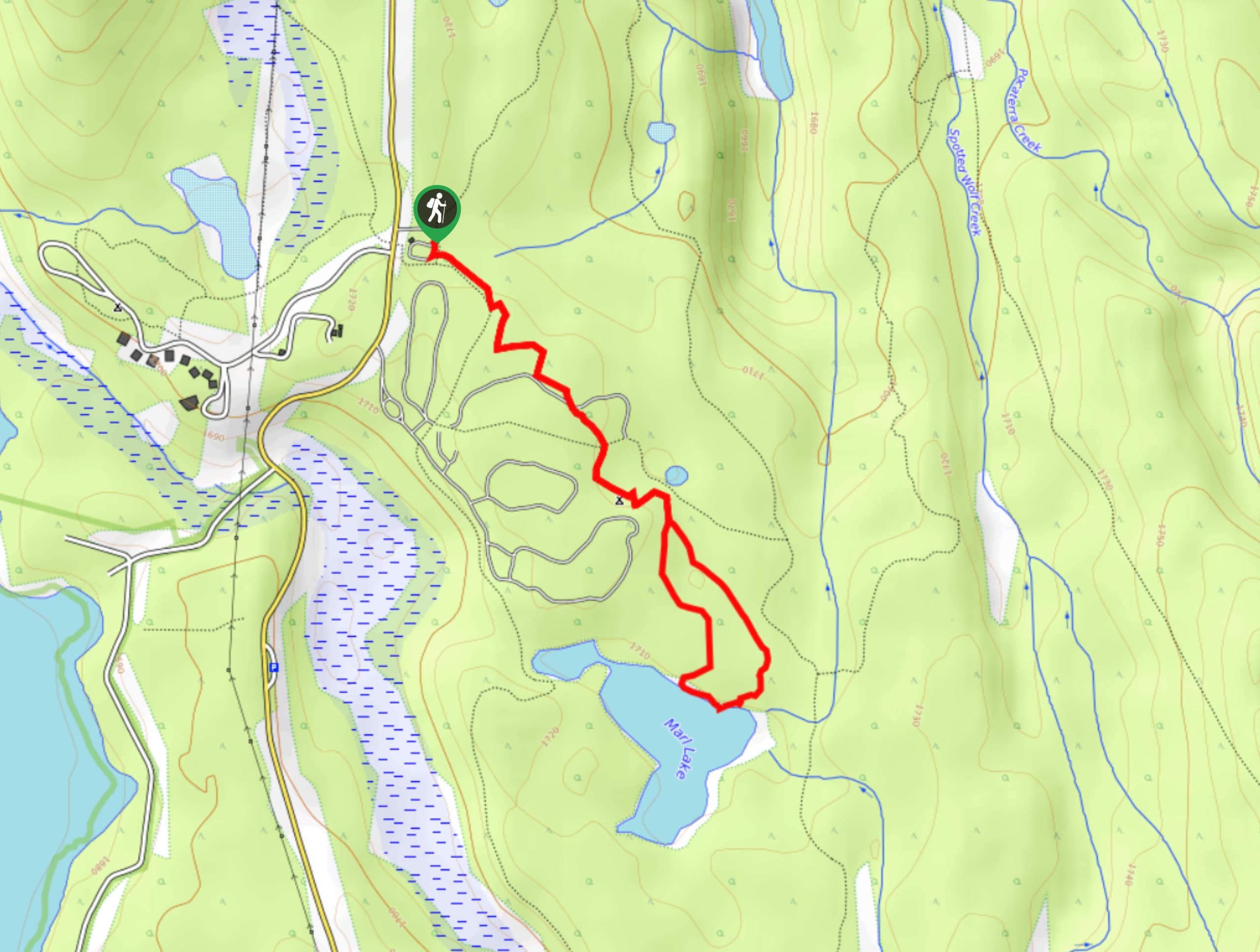
Marl Lake Trail
The Marl Lake trail is a moderately trafficked trail near Lower Kananaskis Lake that is accessible for all abilities. It…
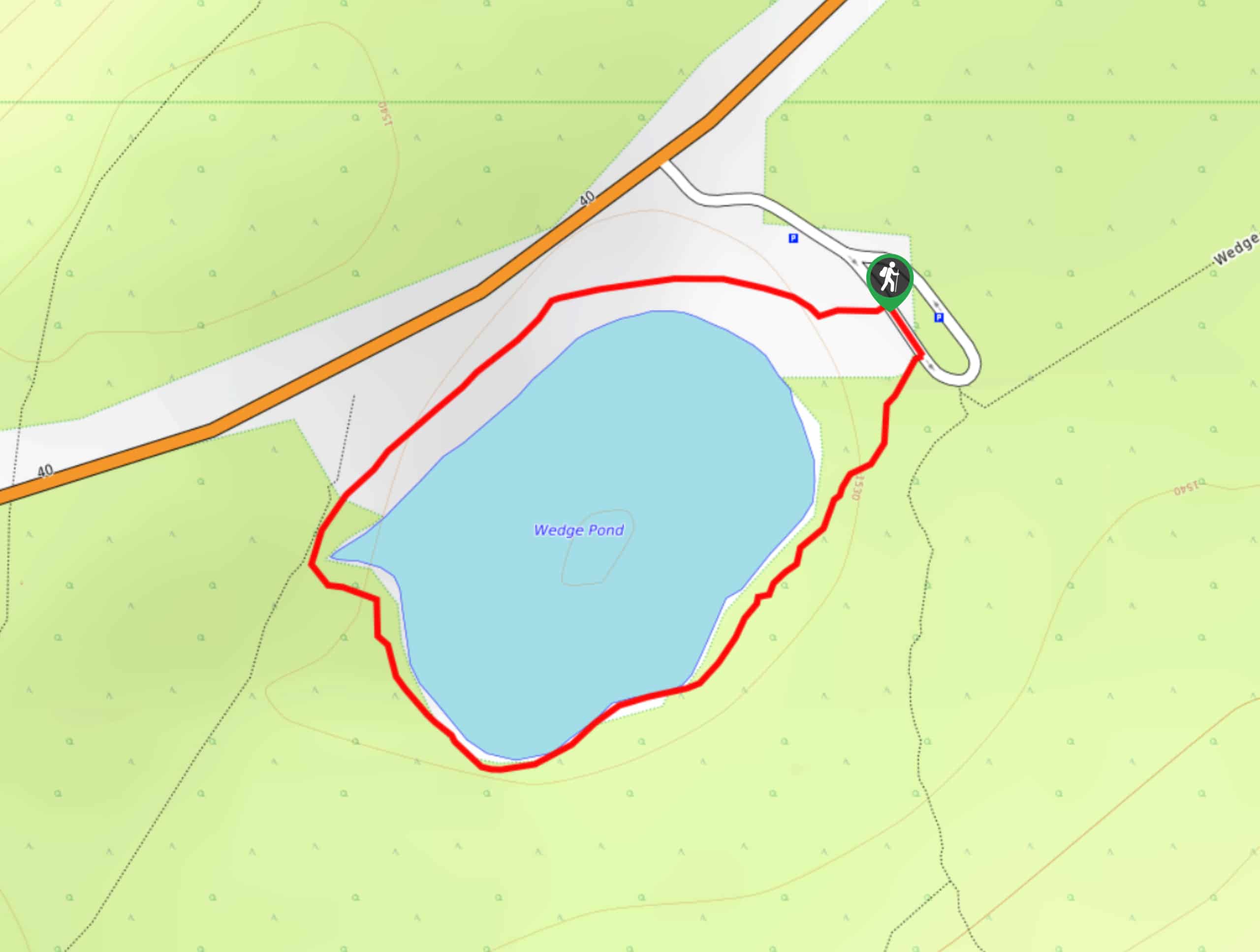
Wedge Pond Trail
Hiking the Wedge Pond trail is as relaxed as things get in Kananaskis. The 1km trail wraps around the shore…
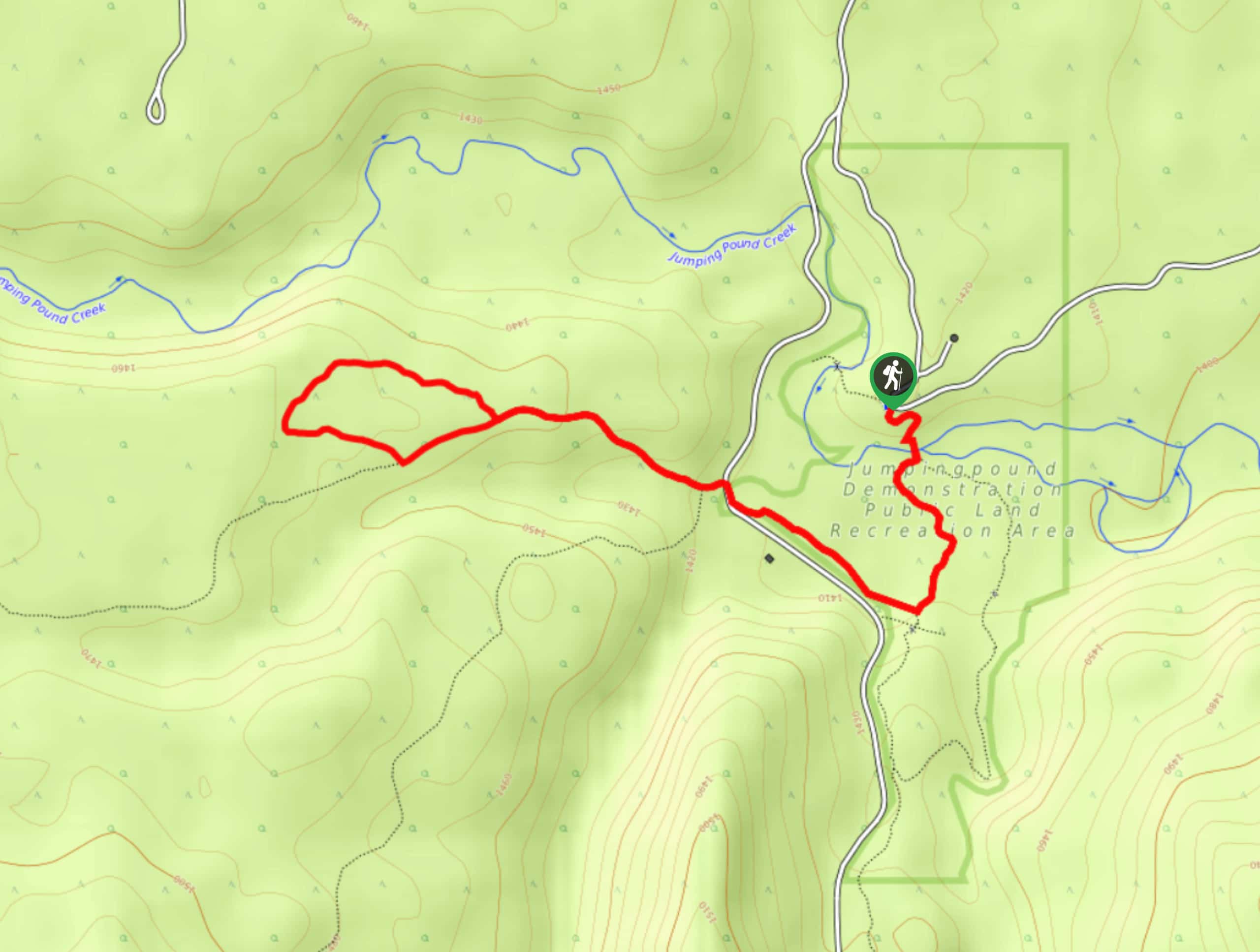
Pine Woods Loop
Hiking the Pine Woods Interpretive Loop Trail doesn’t take long, but is an excellent way to find solitude in the…
Comments