

Diamond T Loop
View PhotosDiamond T Loop
Difficulty Rating:
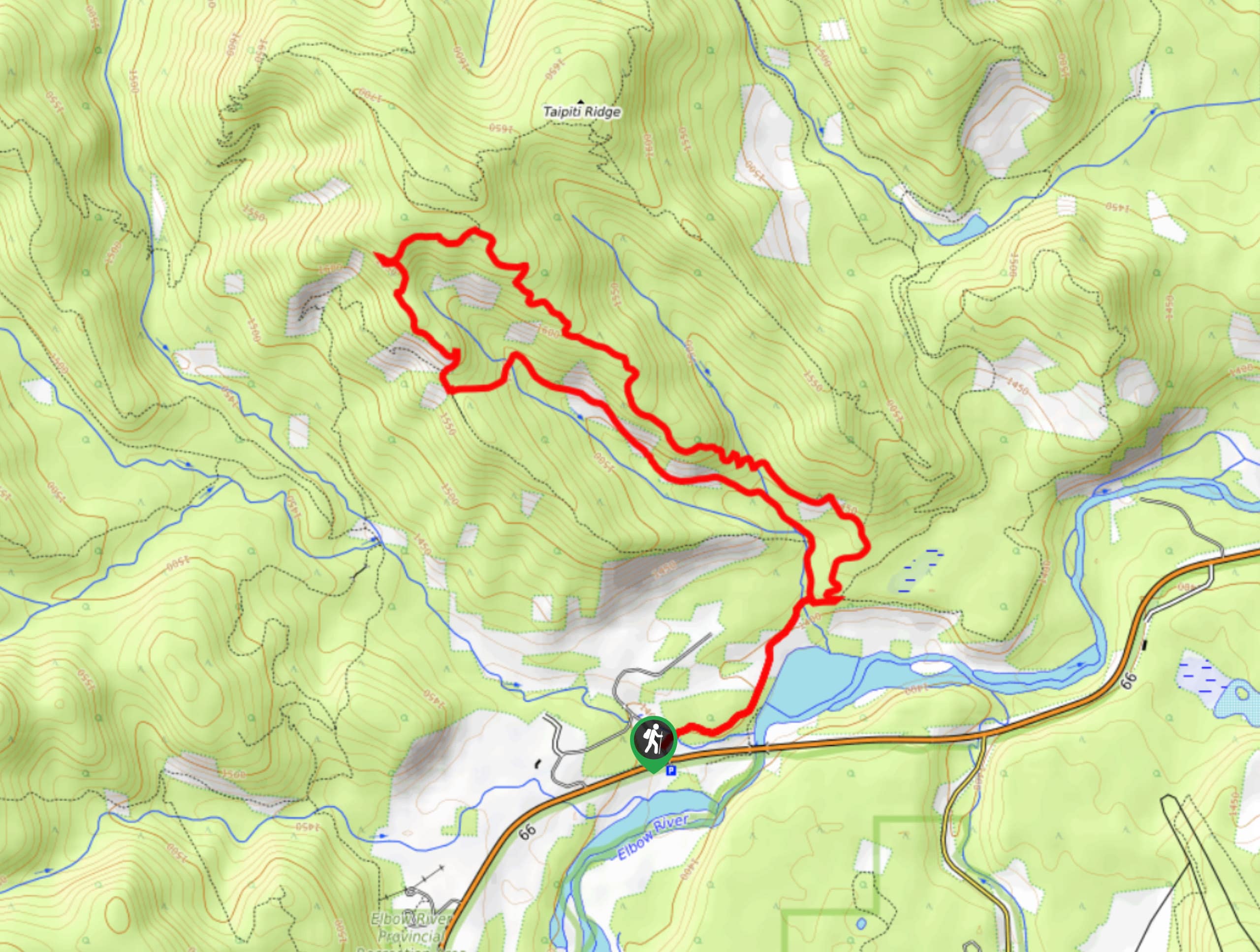
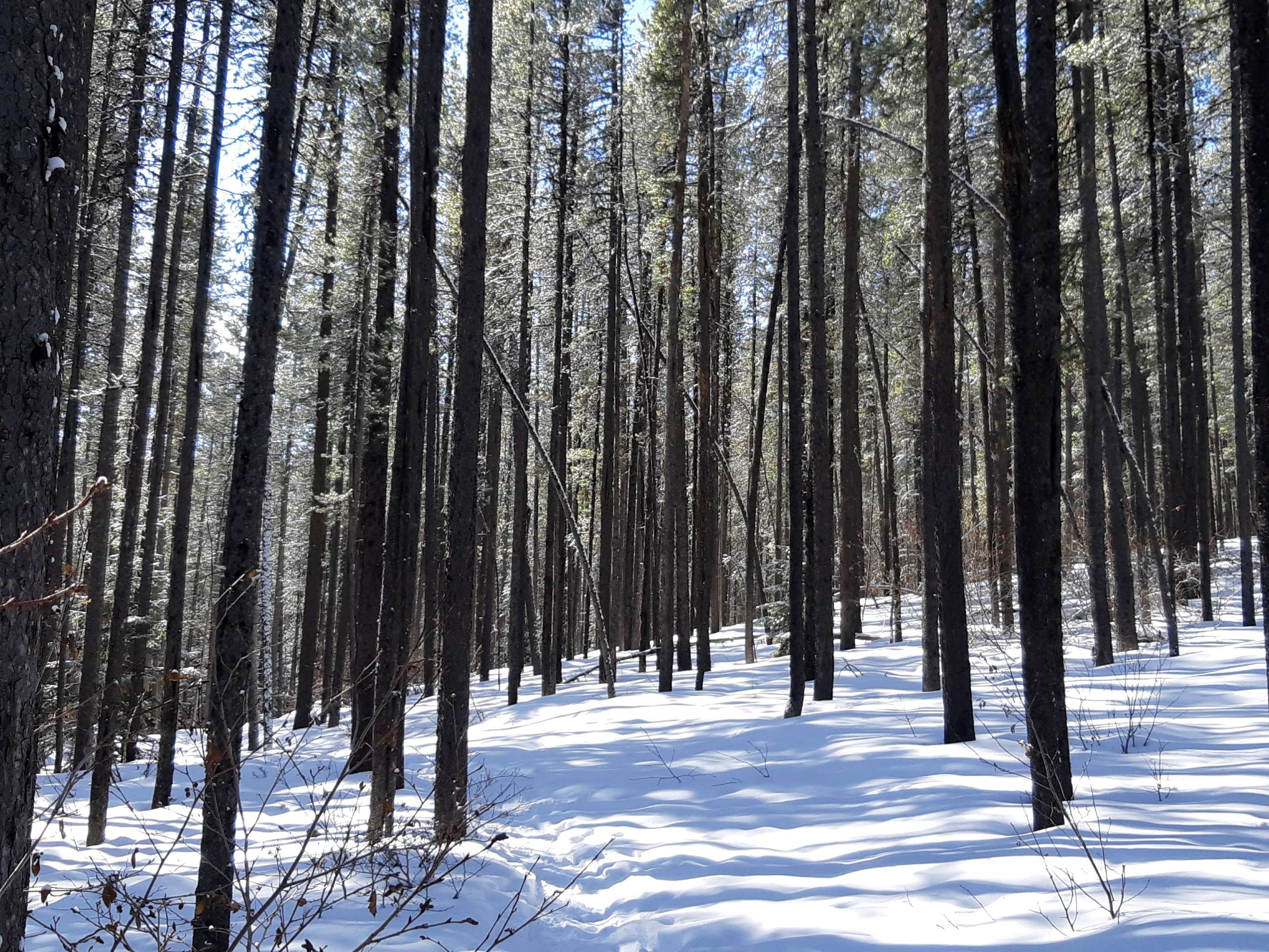
The Diamond T Loop is an excellent beginner-intermediate trail in Kananaskis. It is part of a broader trail system and has many options to extend your trip. The trail is mostly forested but has plenty of clearings with great views and one prominent viewpoint that makes the whole trail worth hiking for.
Getting there
Take Highway AB-66 West from AB-22. Follow this road, passing many pullouts and trailheads for 9.3mi before turning right into the Diamond T Loop parking area.
About
| When to do | March-October |
| Backcountry Campsites | No |
| Pets allowed | Yes - On Leash |
| Family friendly | Yes |
| Route Signage | Average |
| Crowd Levels | High |
| Route Type | Circuit |
Diamond T Loop
Elevation Graph
Weather
Diamond T Loop Trail Description
The Diamond T Loop trail is part of an extensive trail system used by bikers, hikers, runners, and walkers. Many of these trails are used in the winter by nordic skiers and fat bikers. From the parking lot, start the trail by taking the option on the left, which will complete the loop in a clockwise direction. This is the best way to make the most out of the clearings and enjoy the main viewpoint. The main viewpoint is 0.7mi into the trail when hiking clockwise and offers incredible views of the area. Continue on to complete the full loop back to the parking area.
Find other amazing hikes in Kananaskis Country
- Kananaskis – Smith Dorrien Trail: Chester Lake, Tent Ridge, Burstall Pass, West Wind Pass and Rummel Lake.
- Bragg Creek and Sheep River Provincial Park: Prairie Mountain, Powderface Ridge, Nihahi Ridge and ForgetMeNot Ridge.
- Kananaskis Trail: Troll Falls, Rawson Lake, Wasootch Ridge, Sarrail Ridge and Pocaterra Ridge.
Similar hikes to the Diamond T Loop hike

Eagle Hill Trail
The Eagle Hill trail climbs the foothills of Kananaskis Country to reach a ridge that looks out into the Prairies.…

Sugar Momma Trail
Hiking the Sugar Momma trail near Bragg Creek is a great way to spend a half day. The multi-use trail…

Buck Mountain Trail
Ole Buck Mountain is a great trail to tackle when exploring the Sibbald Flats area. Whether you are staying at…


Comments