

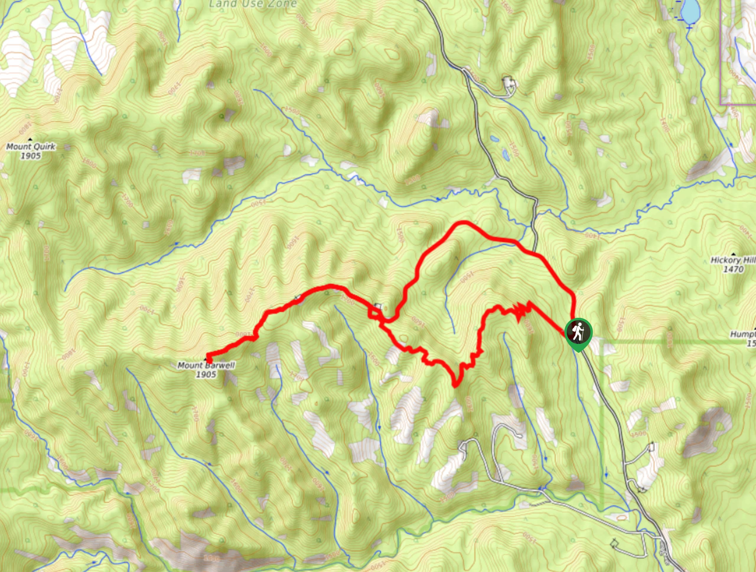
Barwell Trail
View PhotosBarwell Trail
Difficulty Rating:
Hiking the Mount Barwell Trail is a half to full day effort that is very rewarding. With minimal crowds and excellent views, you can hike this as a lollipop or an out-and-back route. Watch for other users as this is a multi-use trail that is frequented by mountain bikers.
Getting there
From Bragg Creek, join AB-22 southbound for roughly 0.6mi and take AB-66 westbound for 7.5mi before turning left onto McLean Creek Trail for 9.3mi. Turn into the Fisher Creek Provincial Recreation Area to park for your trailhead.
About
| When to do | May-October |
| Backcountry Campsites | No |
| Pets allowed | Yes - On Leash |
| Family friendly | No |
| Route Signage | Average |
| Crowd Levels | Moderate |
| Route Type | Lollipop |
Barwell Trail
Elevation Graph
Weather
Barwell Trail Description
Our route for the Barwell Trail shows a lollipop, however this can be done as an out-and-back if you choose to do so on your descent. Making a lollipop adds a more gentle descent to the end of your trip. Begin your hike from the trailhead parking area on the Mount Barwell trail. In 1969ft you will reach a junction where you can join the Mount Barwell Bike trail that makes for a more direct ascent. Climb steadily for another 2.8mi before rejoining the main Mount Barwell route. Summit Mount Barwell before descending. Stay left on your descent and take the old road on the way down for an easy descent. There is also a direct Mount Barwell route from this junction that leads straight to the parking lot.
Similar hikes to the Barwell Trail hike
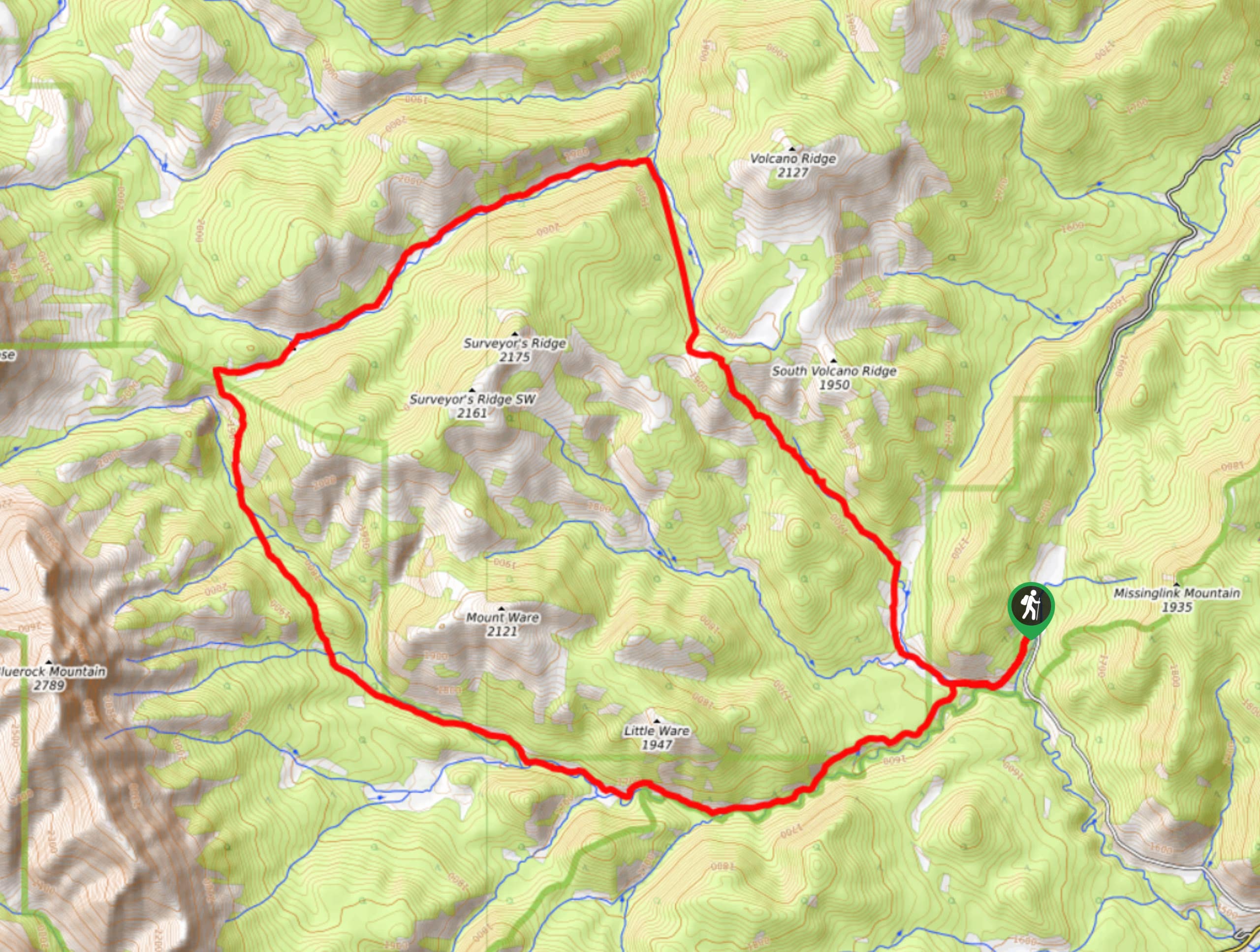
Gorge Creek Loop
Hiking the Gorge Creek Loop requires some route knowledge and a bit of extra effort as it is not as…
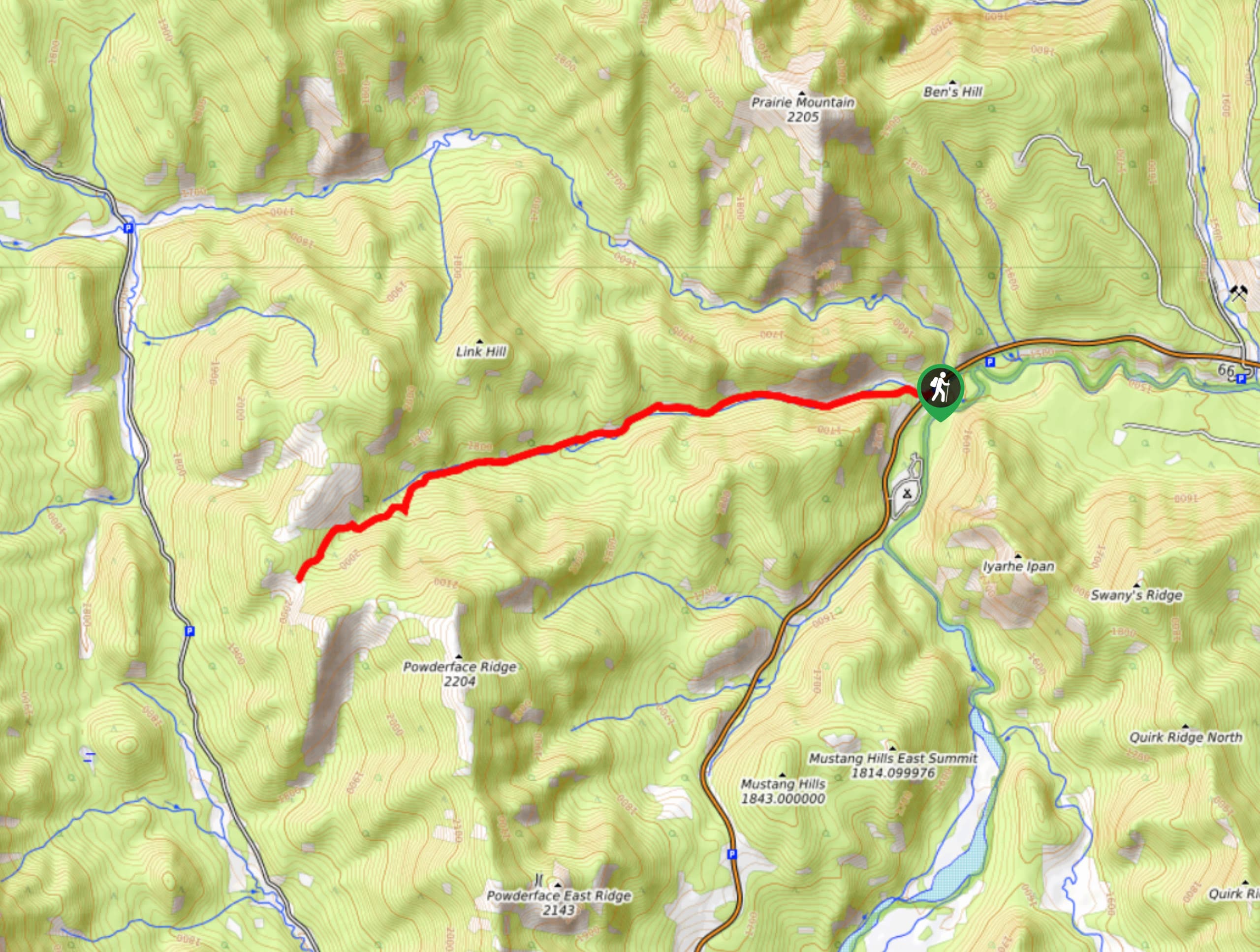
Powderface Creek Trail
The Powderface Creek trail in Kananaskis is a popular hiking, biking, and horseback trail, so be aware of traffic when…
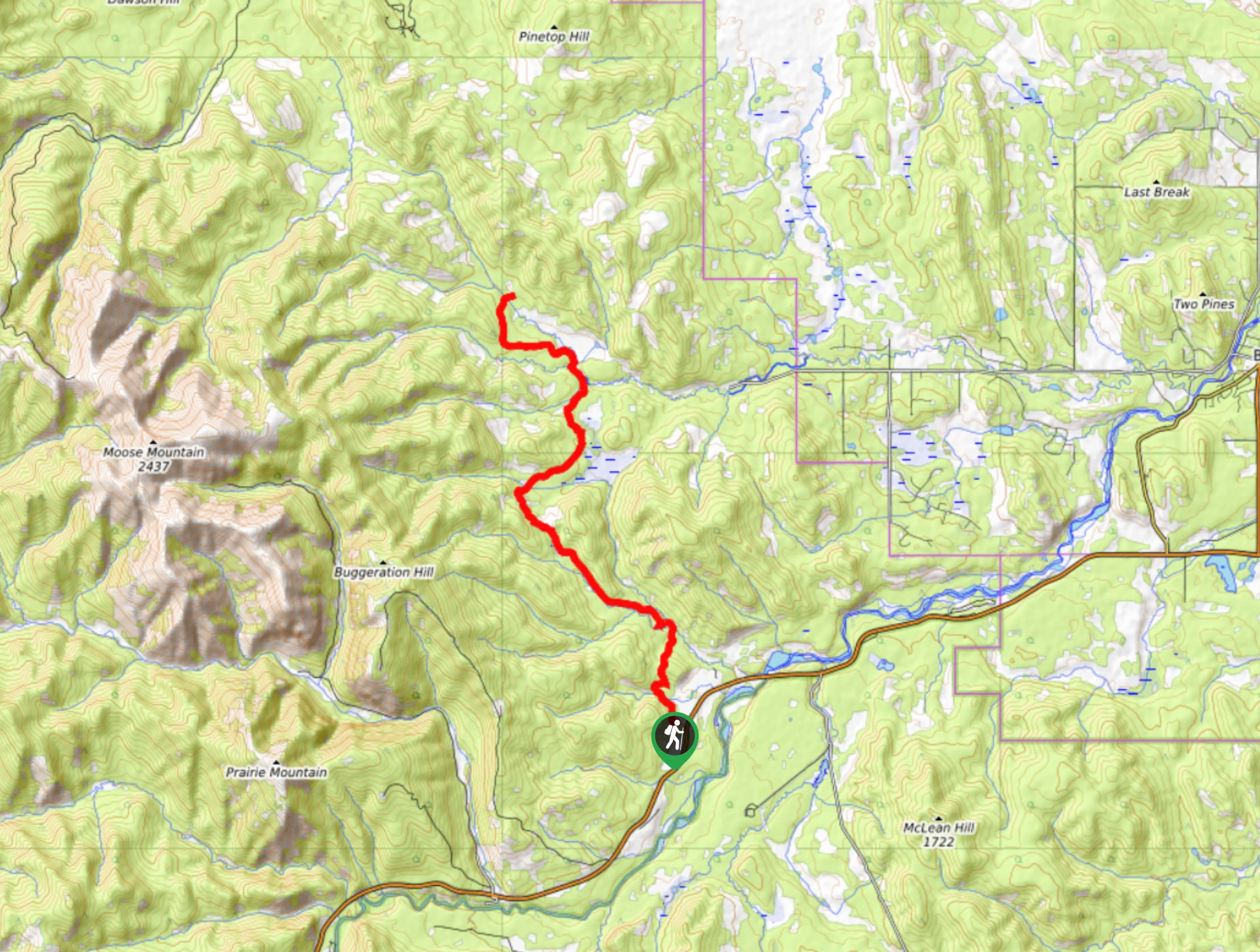
Tom Snow Trail
The Tom Snow trail is a simple one. It follows mostly decommissioned fire roads between Elbow River and Sibbald Creek…



Comments