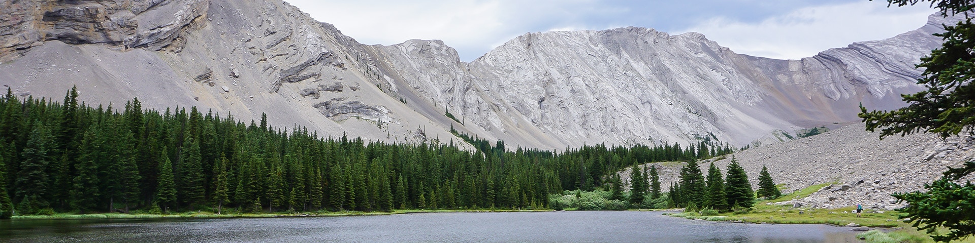
Picklejar Lakes hike
View Photos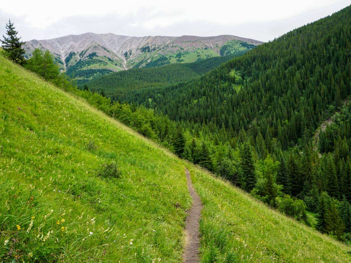
Picklejar Lakes hike
Difficulty Rating:
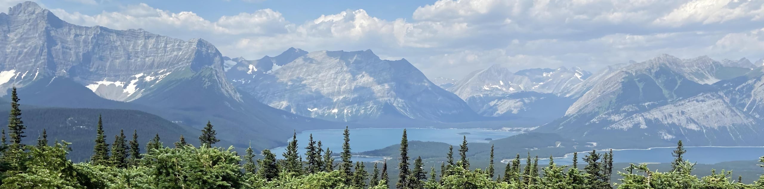
Some Calgarians rate Picklejar Lakes as their absolute favourite hike in the Canadian Rockies. It’s not hard to see why. The hike to Picklejar Lakes is a great intermediate hike, with varied terrain and wonderful views.
Getting there
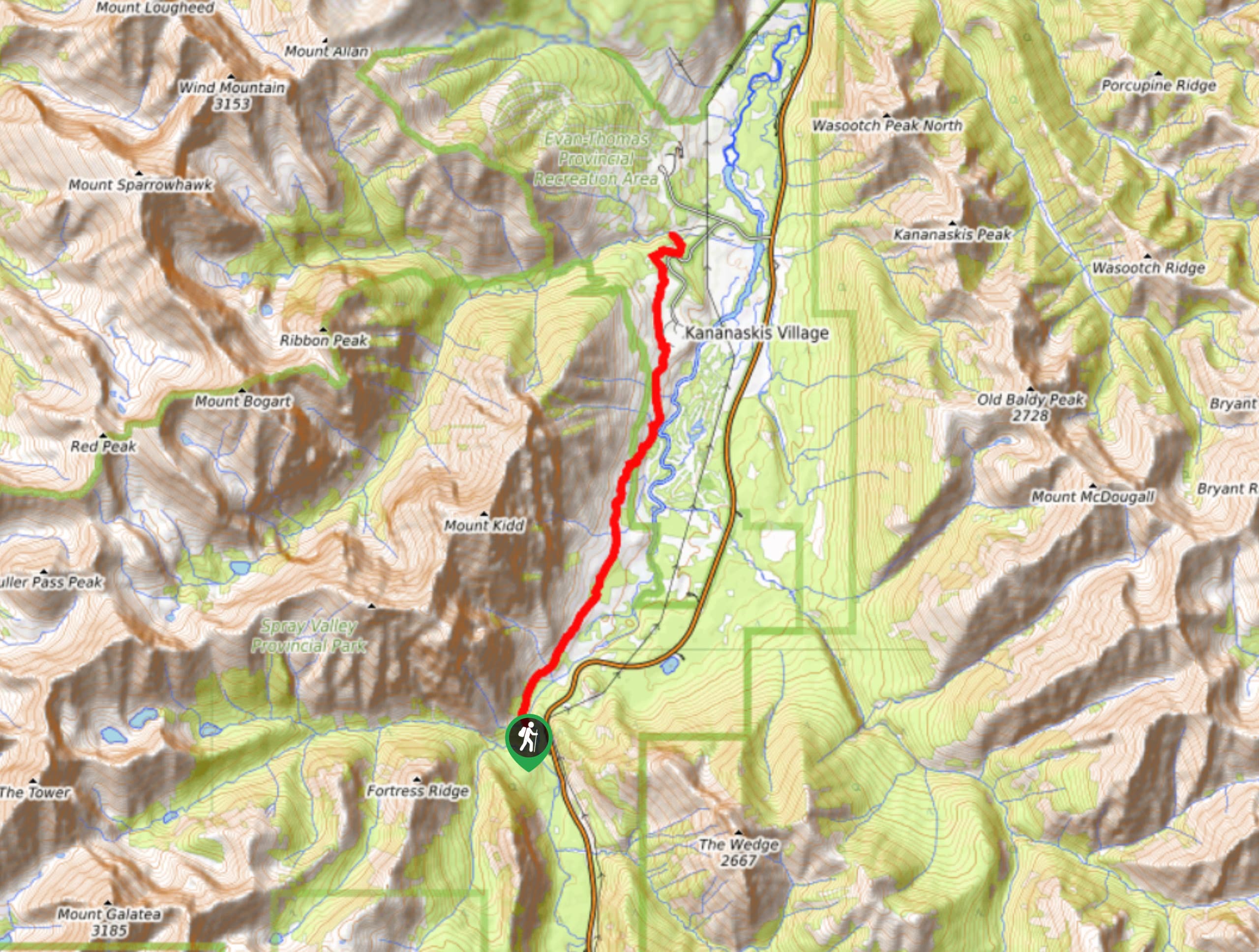
Drive to Longview (1-hour SW of Calgary). From there take Highway 541 West for 26.7mi. At Highwood House General Store this turns into Highway 40. Follow this for 10.6mi and turn left into the Lantern Creek parking lot. You can also reach this hike from the North, taking Highway 40 from Stoney Nakoda Casino south for 54.7mi.

About
| When to do | June 15 - October |
| Backcountry Campsites | No |
| Toilets | Parking Lot |
| Family friendly | Older Children only |
| Route Signage | Poor |
| Crowd Levels | Moderate |
| Route Type | Out and back |
Picklejar Lakes
Elevation Graph
Weather
Route Description for Picklejar Lakes
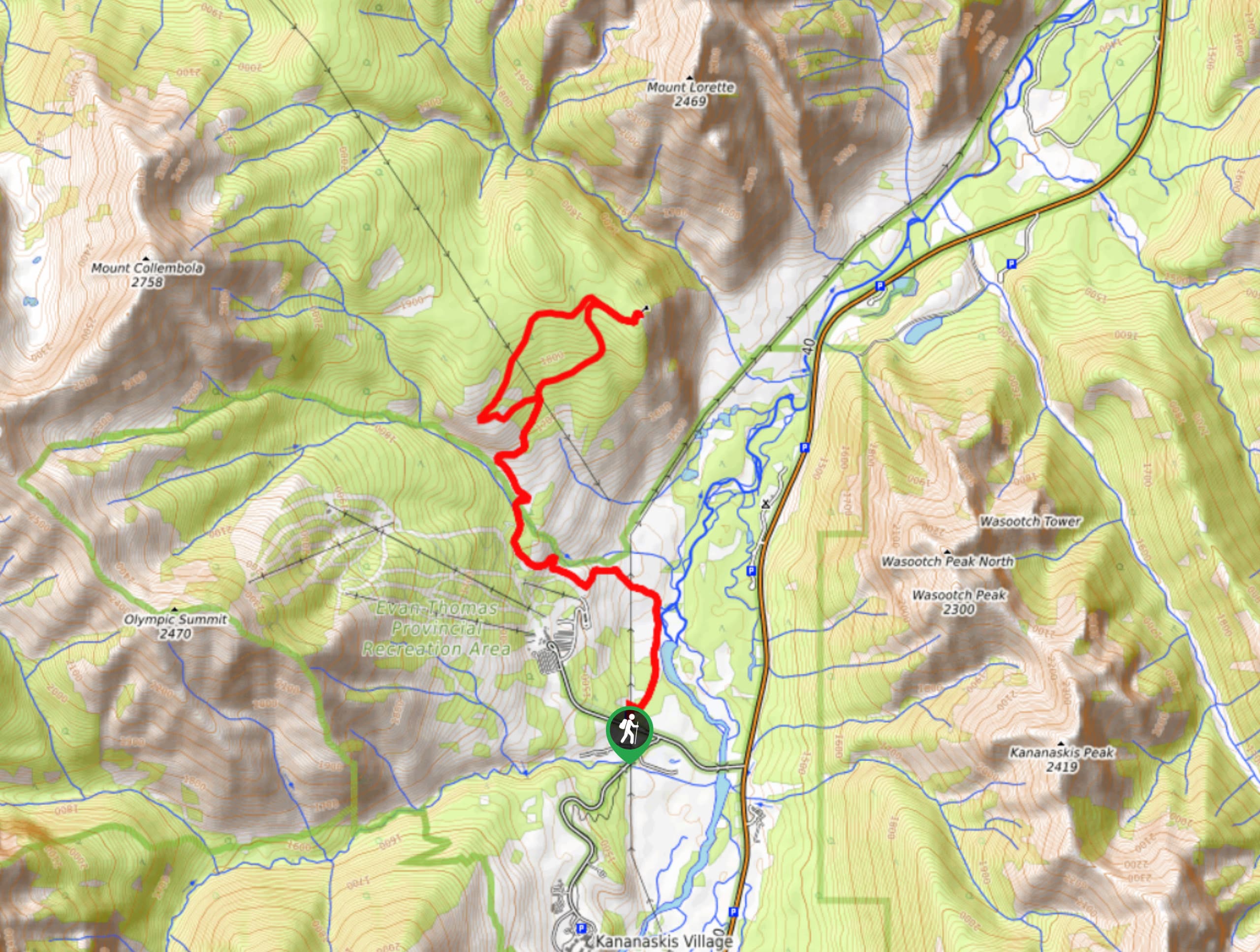
From the Lantern Creek parking lot, cross Highway 40 and once you reach the other side, walk left until you see the signed trailhead off to the right.
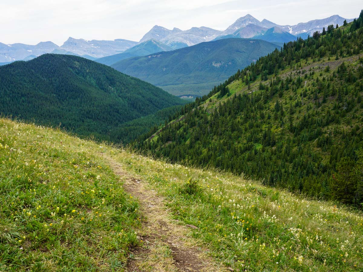
As you start the hike up to Picklejar Lakes, you initially begin by climbing above a creek on your right. The path will take you through trees and then hills filled with wild flowers. As you continue to ascend you’ll push farther left of the creek.
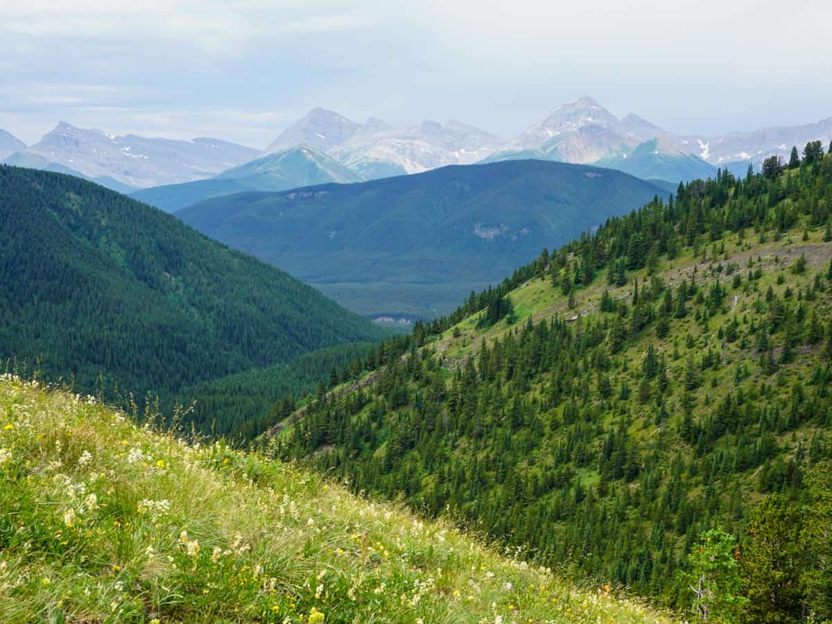
The trail goes in and out of stands of aspen and spruce, with pleasant views in each clearing. As you look ahead, it isn’t clear where the route ends up.
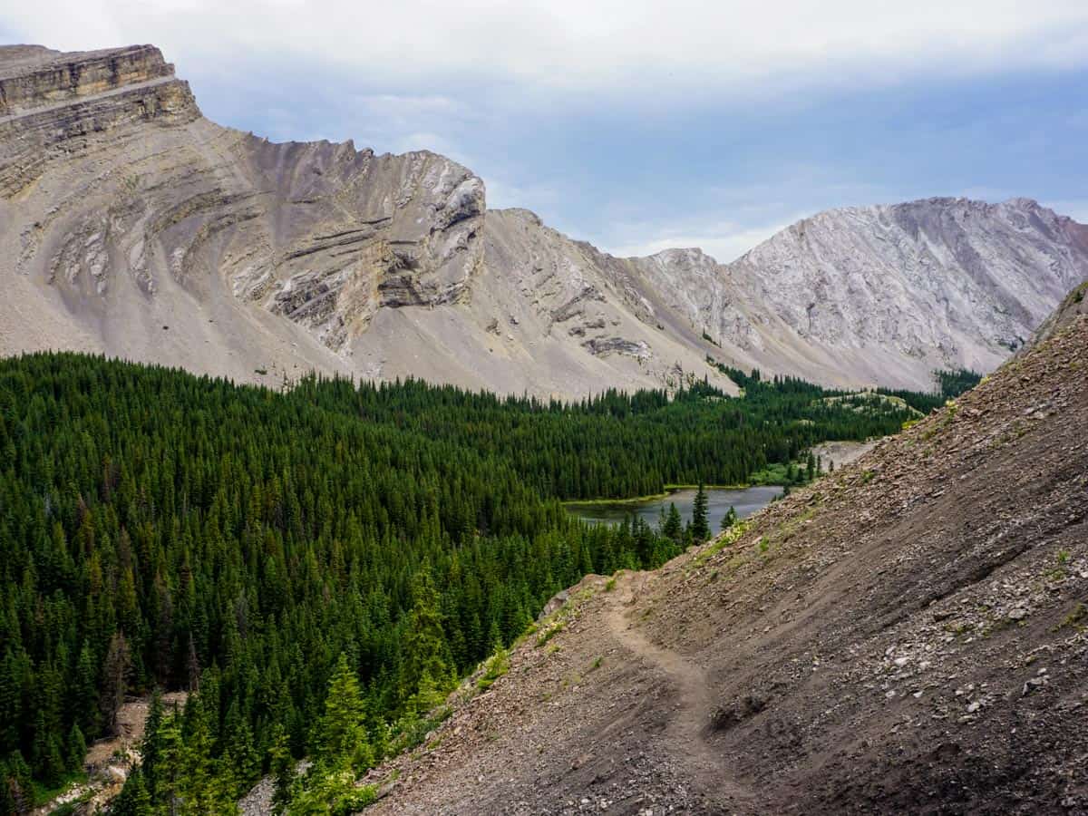
As you gain altitude, you may find that poles really help. The last uphill section has black shale and is particularly steep. It’s tough getting up, but even worse coming down. At the top of this section, in a clearing, the path goes to the right.
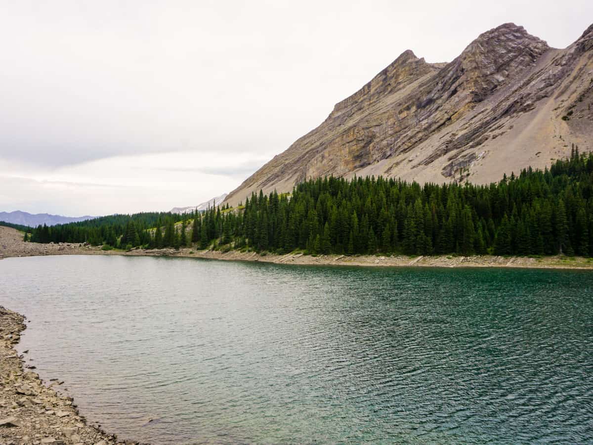
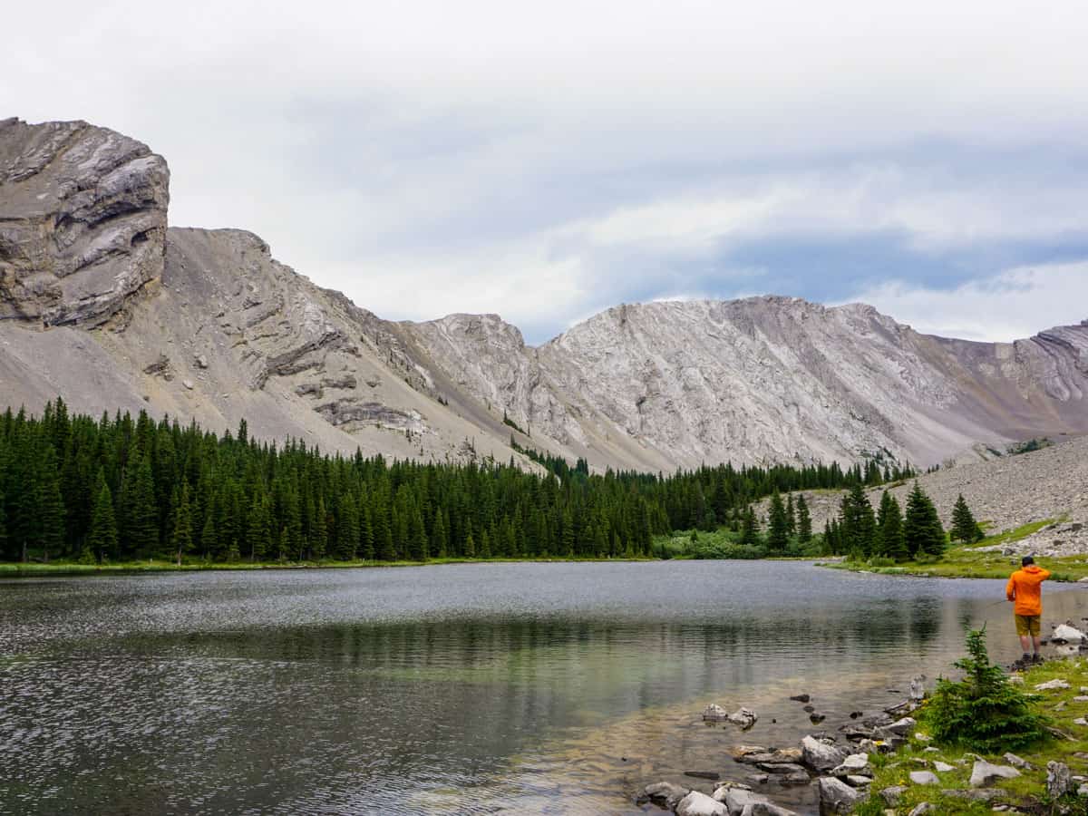
As you follow the path, it soon crests over jagged rock and you are greeted with stunning views of the first Picklejar Lake. This is a stunning view.
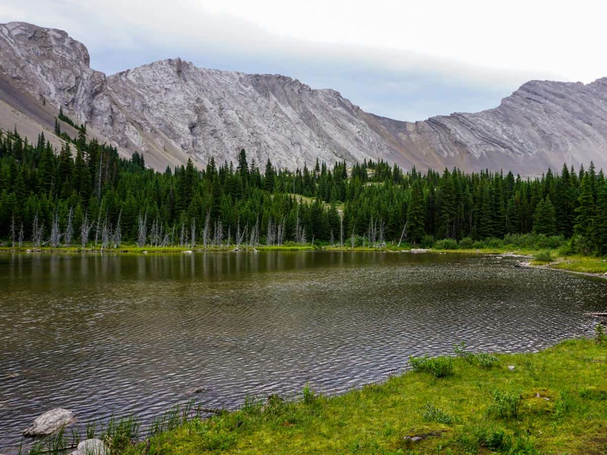
The path down to Picklejar Lake is steep and a little tricky but requires no scrambling. Once at the lake stay on the right-hand side of the lake. You might see people fishing at this lake, and it surely can be a great activity here, but keep in mind that it’s only catch and release. Keeping the fish can incur a hefty fine, upwards of $100K.
From this first lake, it’s definitely worth it to continue and explore the other 3 lakes. To do so, go to the end of this first lake and pass through a rockslide runout and follow path on other side of the debris.
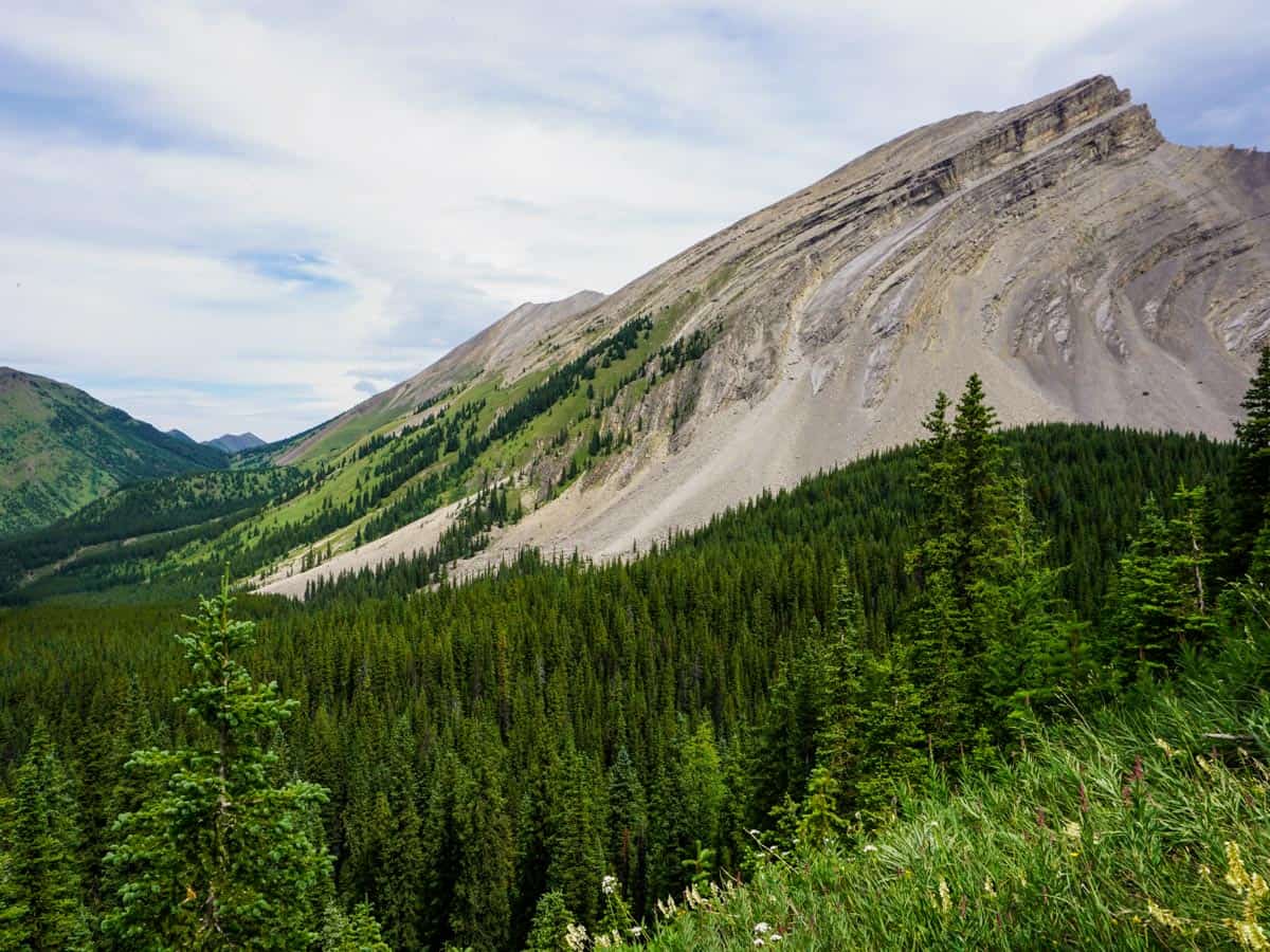
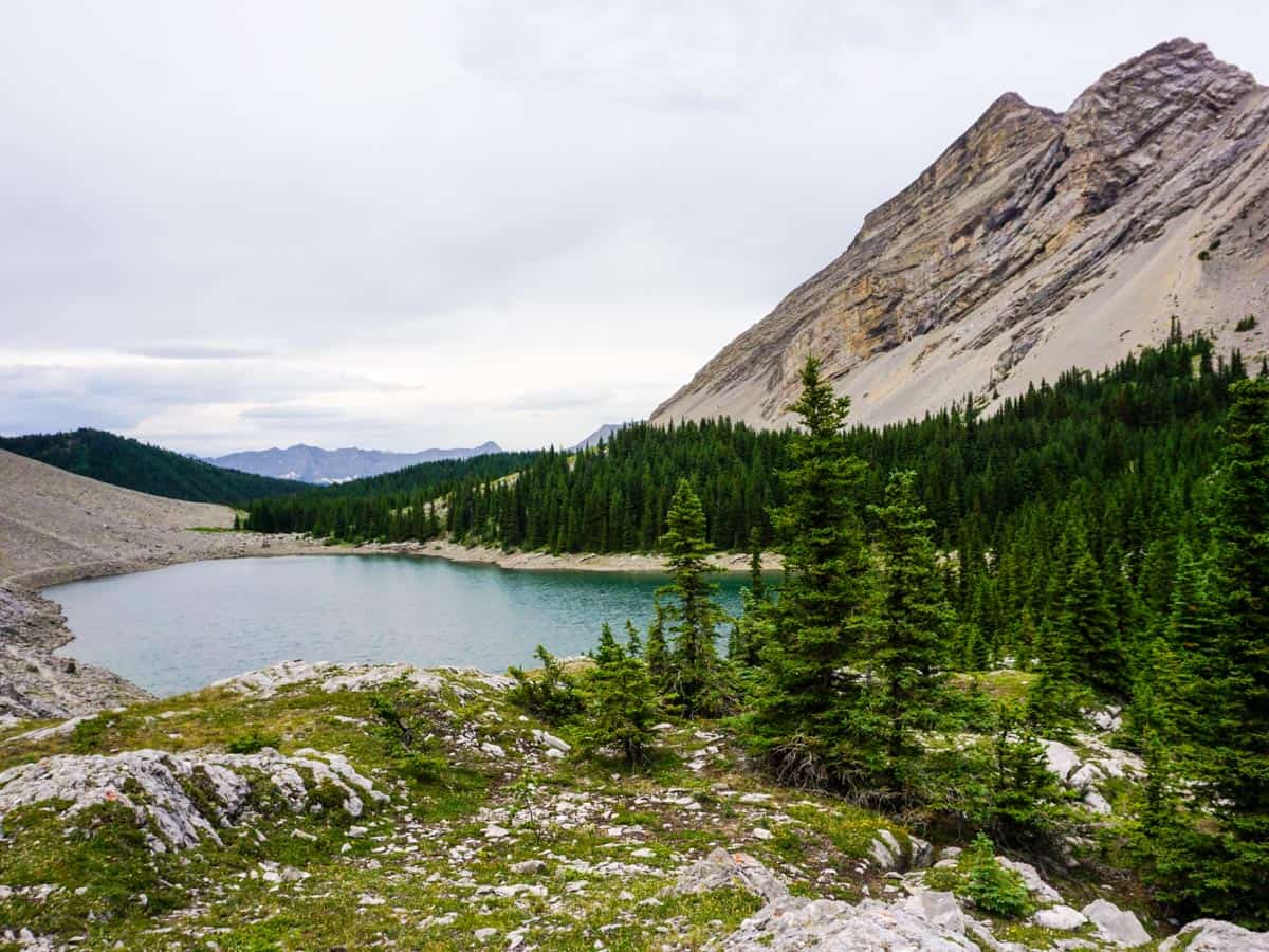
Many paths go to the second lake, which isn’t quite as spectacular as the first one. At the second lake, take the path along the right-hand shore until it splits and heads towards the large mountain in front of you (this is part of Lineham Ridge, a different ridge from the Lineham Ridge that is famous in Waterton)
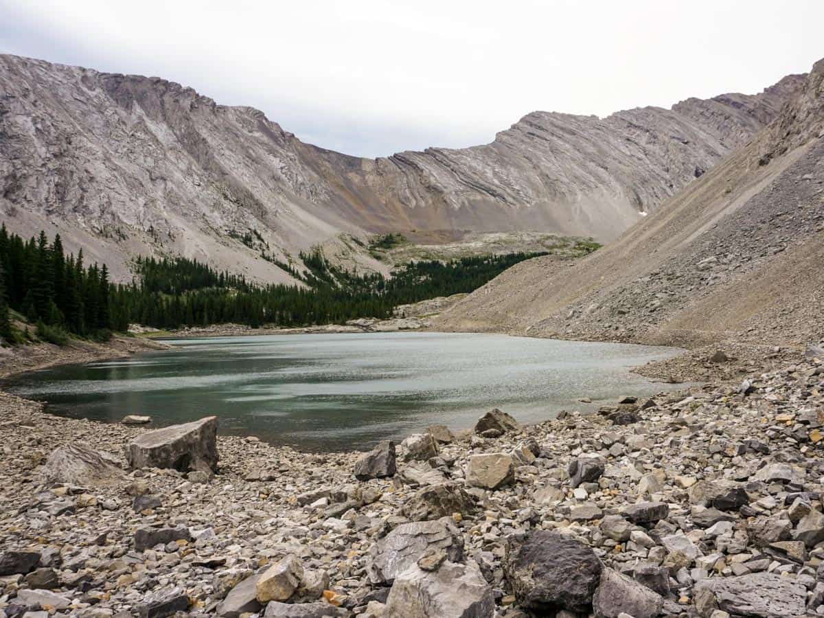
From the second Picklejar Lake, you’ll be walking through a rockslide on a path that is at time hard to find, heading towards the upper two lakes.
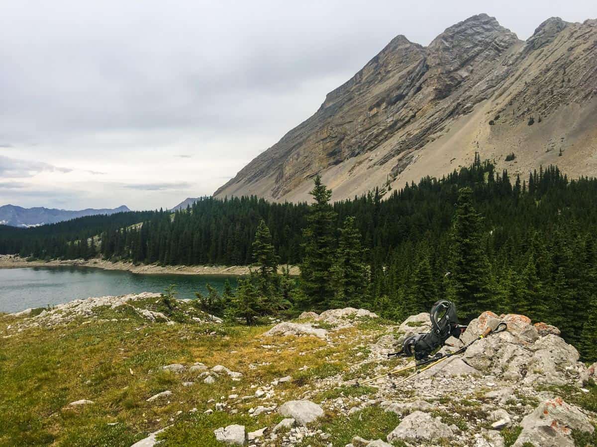
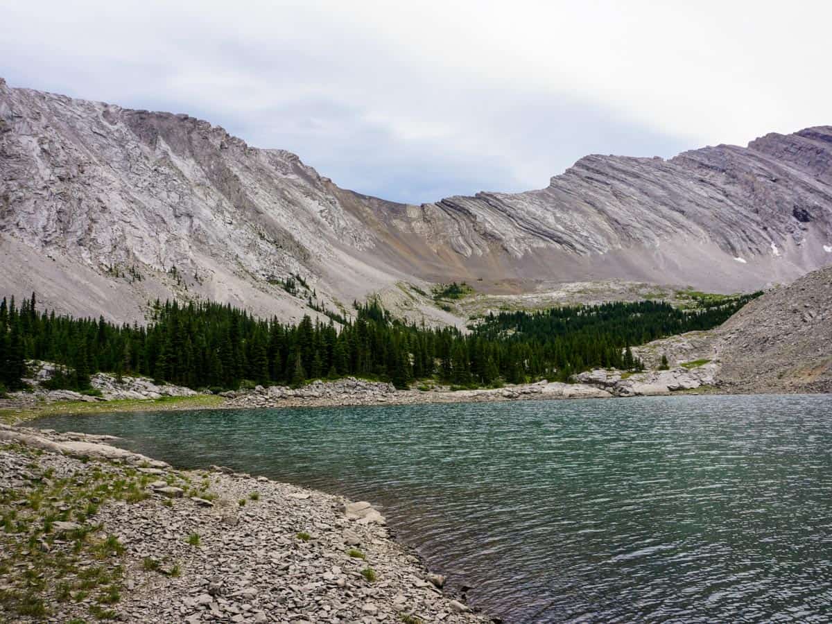
Follow the path around the right-hand side of the 3rd Picklejar Lake. At the end, we like to stop at a plateau above the third and fourth lakes for our break. This is a beautiful vantage point. You could continue farther uphill through scree if you want to get higher, however be careful of rockfall.
From the plateau come back down and circumnavigate the 3rd lake by going right to navigate the opposite side of the third lake.
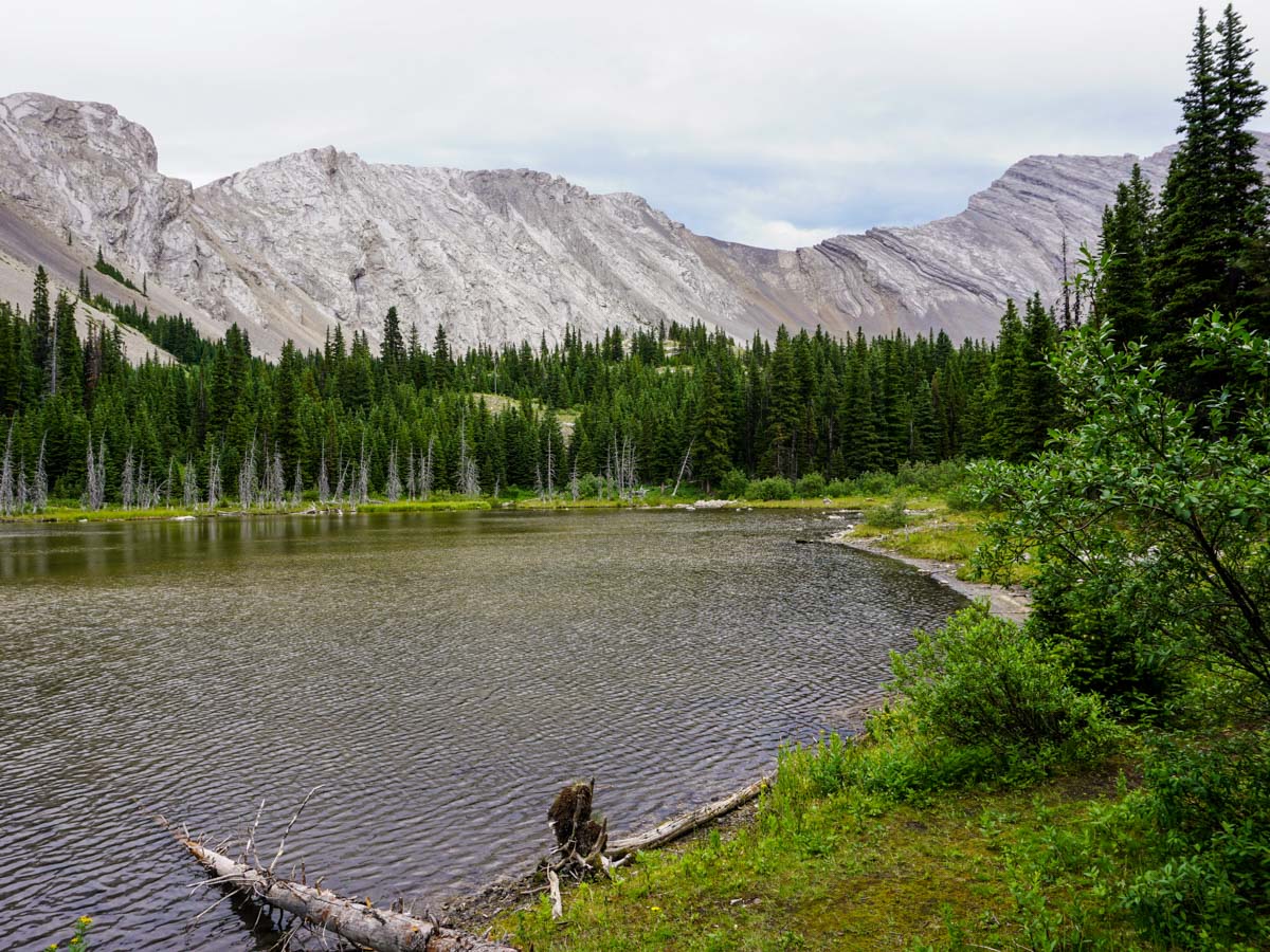
You soon rejoin the path you hiked up on. Follow it back to your car.
Insider Hints
The entire Highwood Pass area, including the southern portion of Highway 40, is closed from December 1st to June 14th each year. This hike can only be reached via a long bike ride while the highway is closed.
Fishing is popular here. Make sure you have a licence and you practice catch-and-release.
Highwood House is the closest place to stop for a snack after the hike.
You can also reach this hike from Banff by taking Highway 40 south for 54.7mi.

Similar hikes to the Picklejar Lakes hike
Terrace Trail
The Terrace Trail South is a great connecting trail that links Ribbon Creek with Galatea Creek. You can choose to…
Hummingbird Plume Lookout
The Hummingbird Plume Lookout trail is a beautiful half to full-day hike that has many options to extend and visit…
Kananaskis Fire Lookout Trail
The trail to the Kananaskis Fire Lookout follows the Mount Tyrwhitt trail up an old decommissioned fire road to the…
Allanhoward 5 years ago
Picklejar Lakes got some sweet views!
JohnCan 5 years ago
Incredible hike, but I hope they could add more signage.
Greenlife 5 years ago
It was challenging to walk through the rockslide heading towards the upper two lakes.
PeterHopkins 5 years ago
I enjoyed my adventure here. You'll find varied terrain and stunning views.
Willow F. 5 years ago
Incredible hike! The last uphill section has black shale and was somehow steep. Be careful with that. Bringing poles will help you too.
Atlanta R. 5 years ago
There's a rockslide on a path that is at times hard to find. Beautiful view of the lakes.
Artemis H. 5 years ago
It's one of my favorite hikes in the Canadian Rockies. Great intermediate hike, with varied terrain and wonderful views. Remarkable hiking experience.
LaylaP. 5 years ago
All of the landmarks were beautiful! Wonderful nature!
Soli Petravron 5 years ago
Fantastic hike overall! There's a path that crests over jagged rock and you are greeted with stunning views of the first Picklejar Lake. The path down to Picklejar Lake was steep and a little tricky, but not that demanding. There are also people fishing in the lake.
Donald J. 5 years ago
I enjoyed my trip throughout!! There are plenty of photo opportunities, make sure to stop and take it all in.