

Mount Burke hike
View PhotosMount Burke hike
Difficulty Rating:
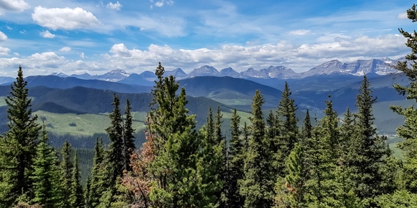
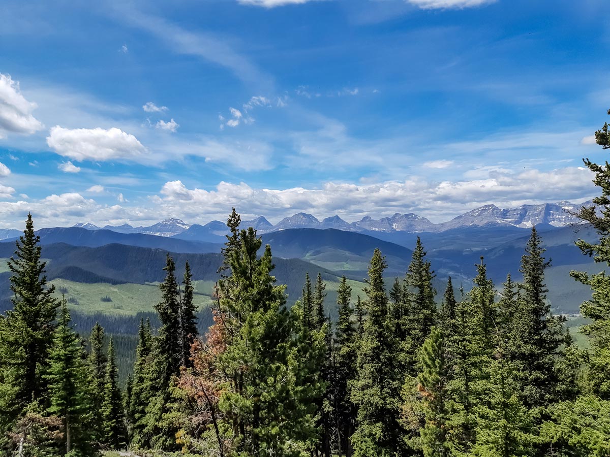
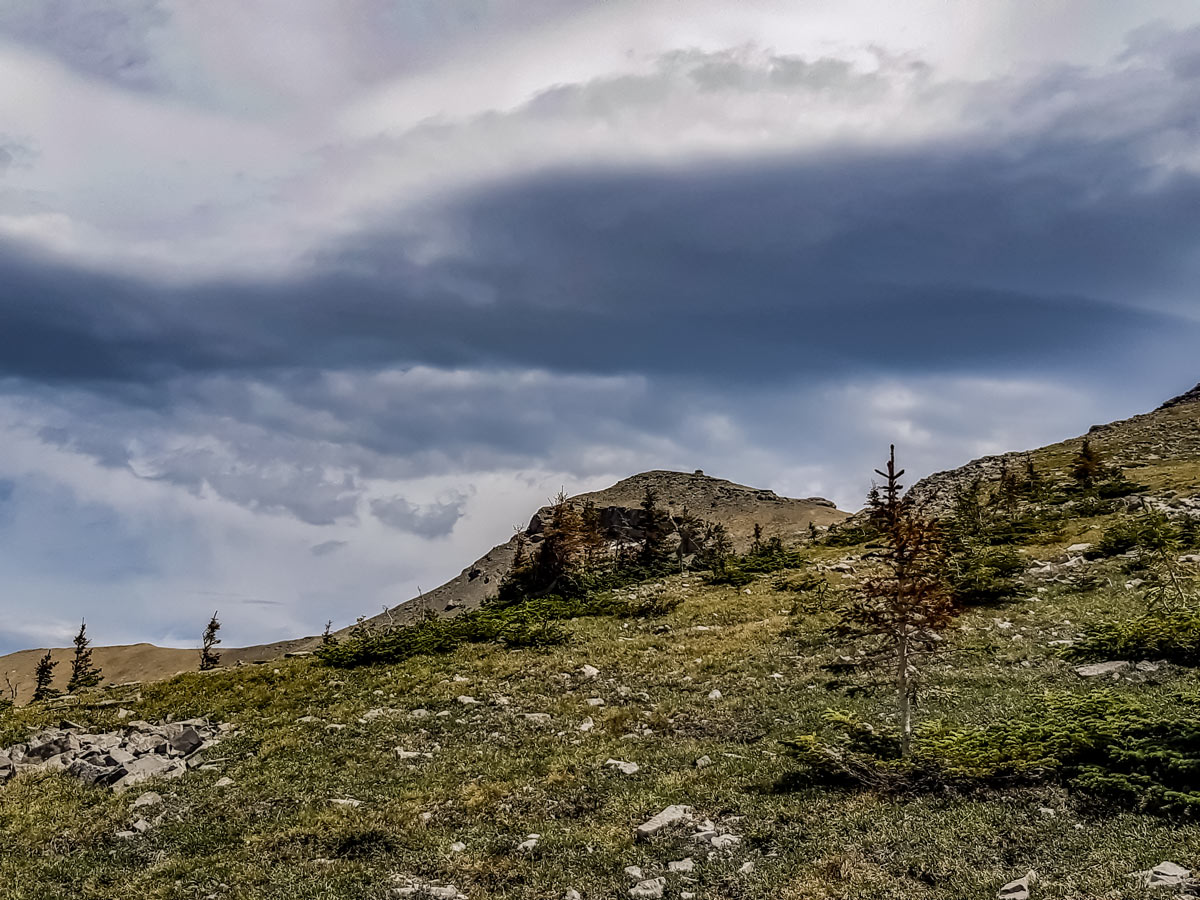
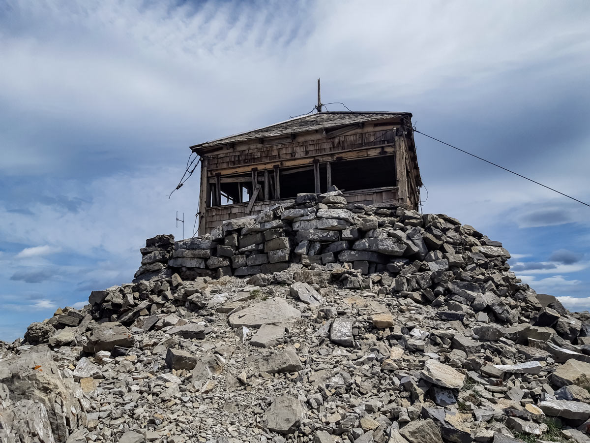
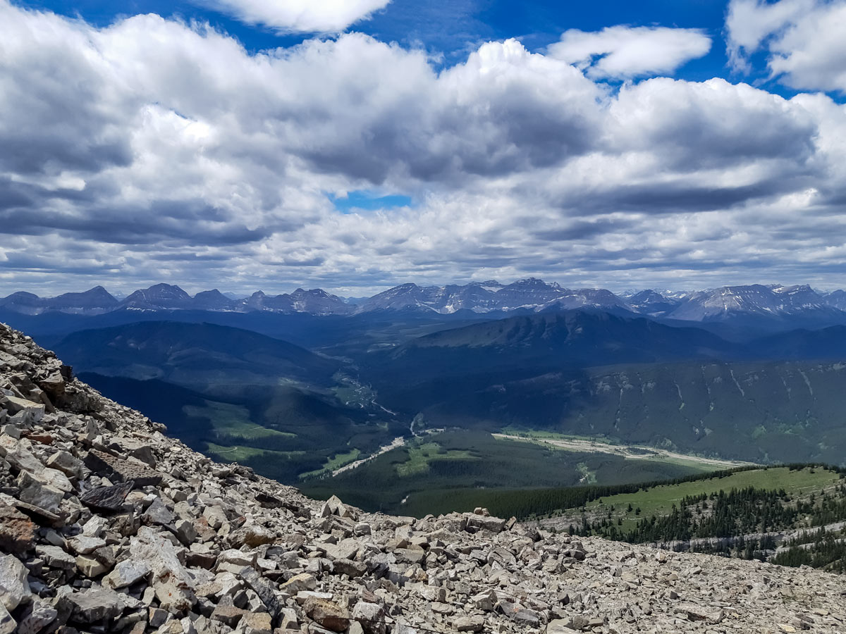
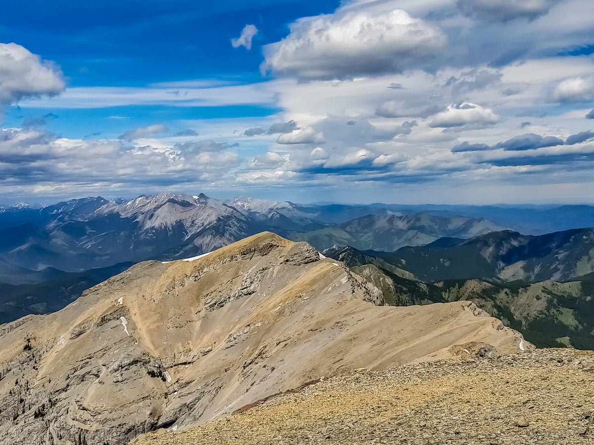
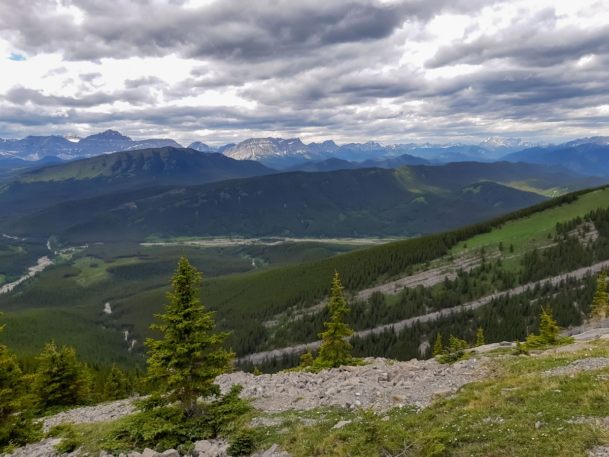
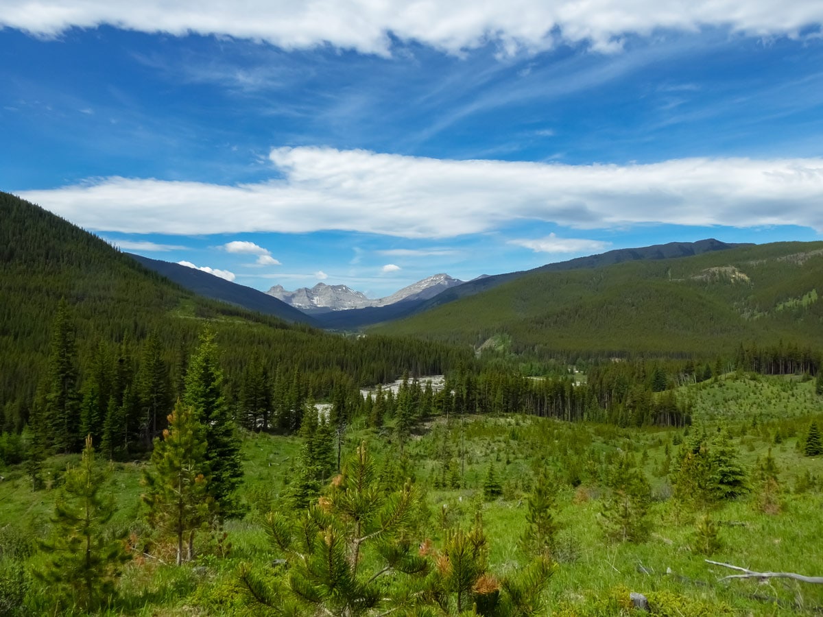
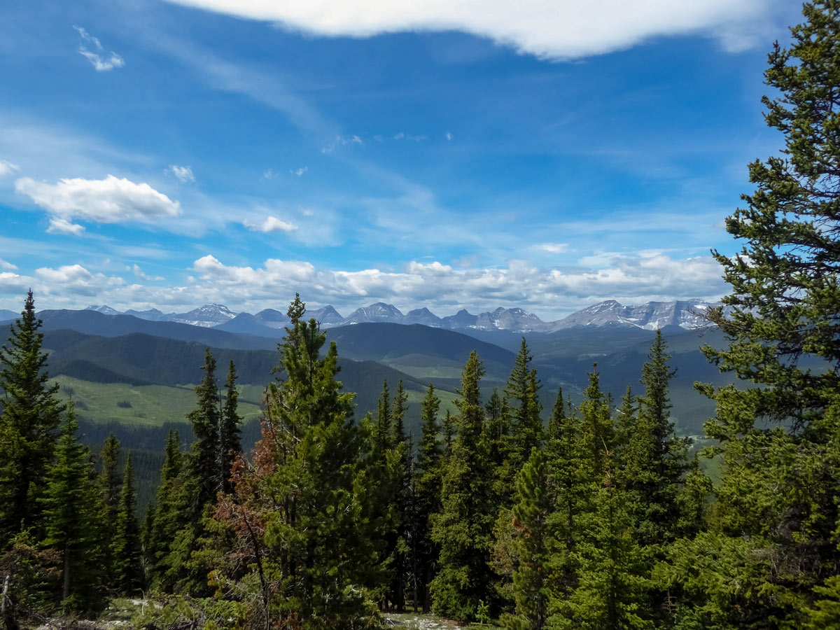
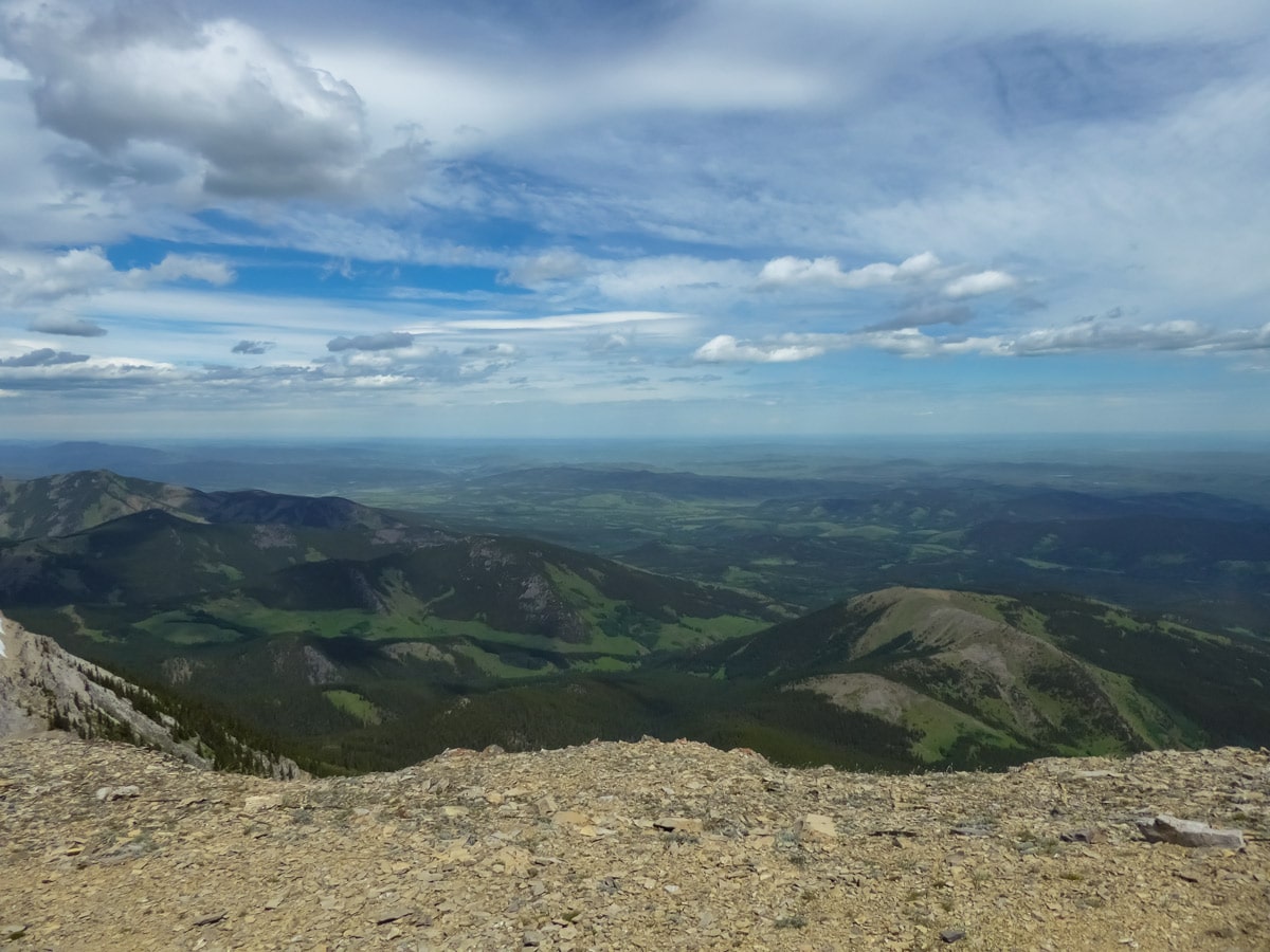
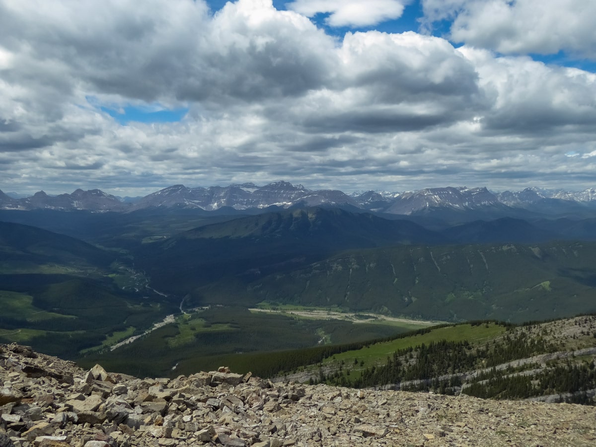
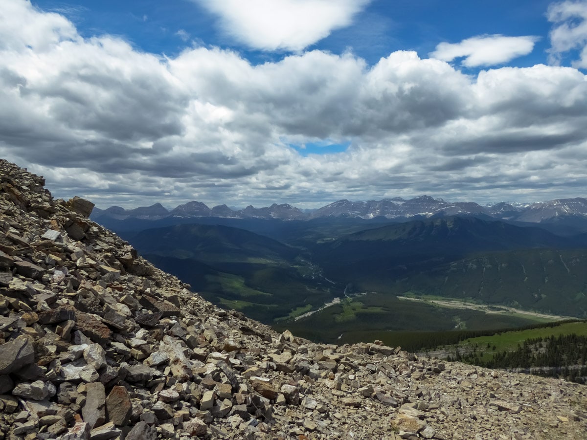
Mount Burke is an underrated, bigger version of Prairie Mountain that isn’t as well-known. On a sunny weekend, we only ran into one other group, which is very rare considering the trail is good quality and the views are amazing. Get ready to see the foothills, white-topped mountain peaks, the interesting flat Plateau Mountain nearby and the lone abandoned fire watch hut at the very top. However, the views come with a price – hiking up Mount Burke is a real grind.
Getting there
You’ll find the Mount Burke parking lot on the right just before the entrance to Cataract Creek Campground.
About
| When to do | July-October |
| Backcountry Campsites | No |
| Pets allowed | Yes - On Leash |
| Family friendly | No |
| Route Signage | Poor |
| Crowd Levels | Low |
| Route Type | Out and back |
Mount Burke
Elevation Graph
Weather
Route Description for Mount Burke
Even though the hike up Mount Burke is not very popular, the parking lot is not very spacious, so coming slightly earlier might help you get a guaranteed spot. Wearing hiking boots is beneficial, as the path gets rocky near the top.
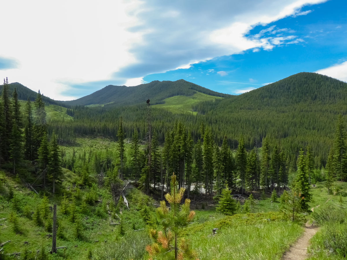
Start from the parking lot and take the obvious path at the far end of it. You will be walking through a beautiful meadow with some sparse trees and bushes. Soon the path will split, so keep to your left. If you wonder were the right path goes, it leads along the Salter Creek and soon disappears into the riverbed. That is where the old trail to the Mount Burke used to be, but it has been washed out.
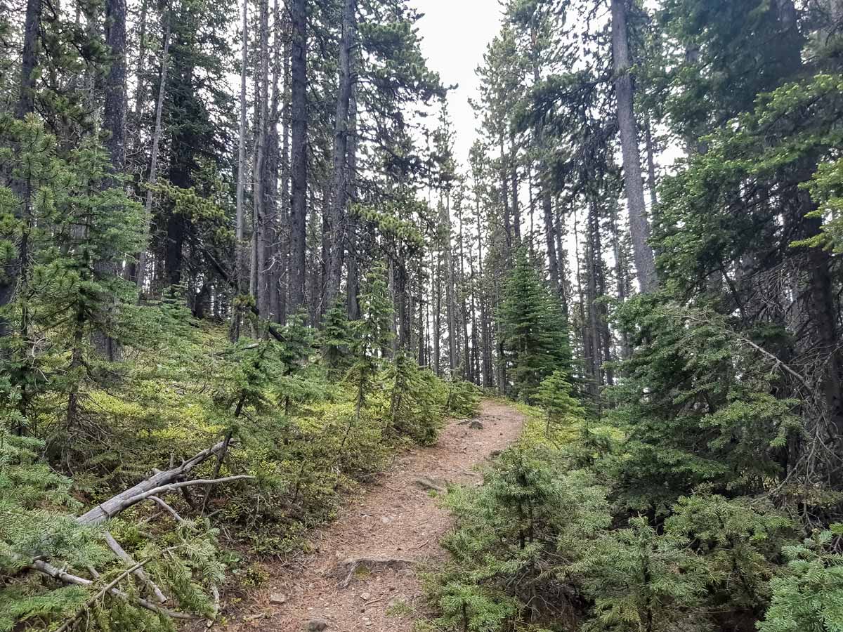
Soon you will emerge into the forest. The current path to Mount Burke goes on the cutline, therefore it’s very straight. After a couple of ups-and-downs, the path up will open up in front of you. It’s a straight line with a significant elevation gain, and it looks intimidating. A few switchbacks would really help here, but you’ve got this!
Soon, you’ll come to the small T-junction. Keep to your left and you’ll end up on switchbacks.
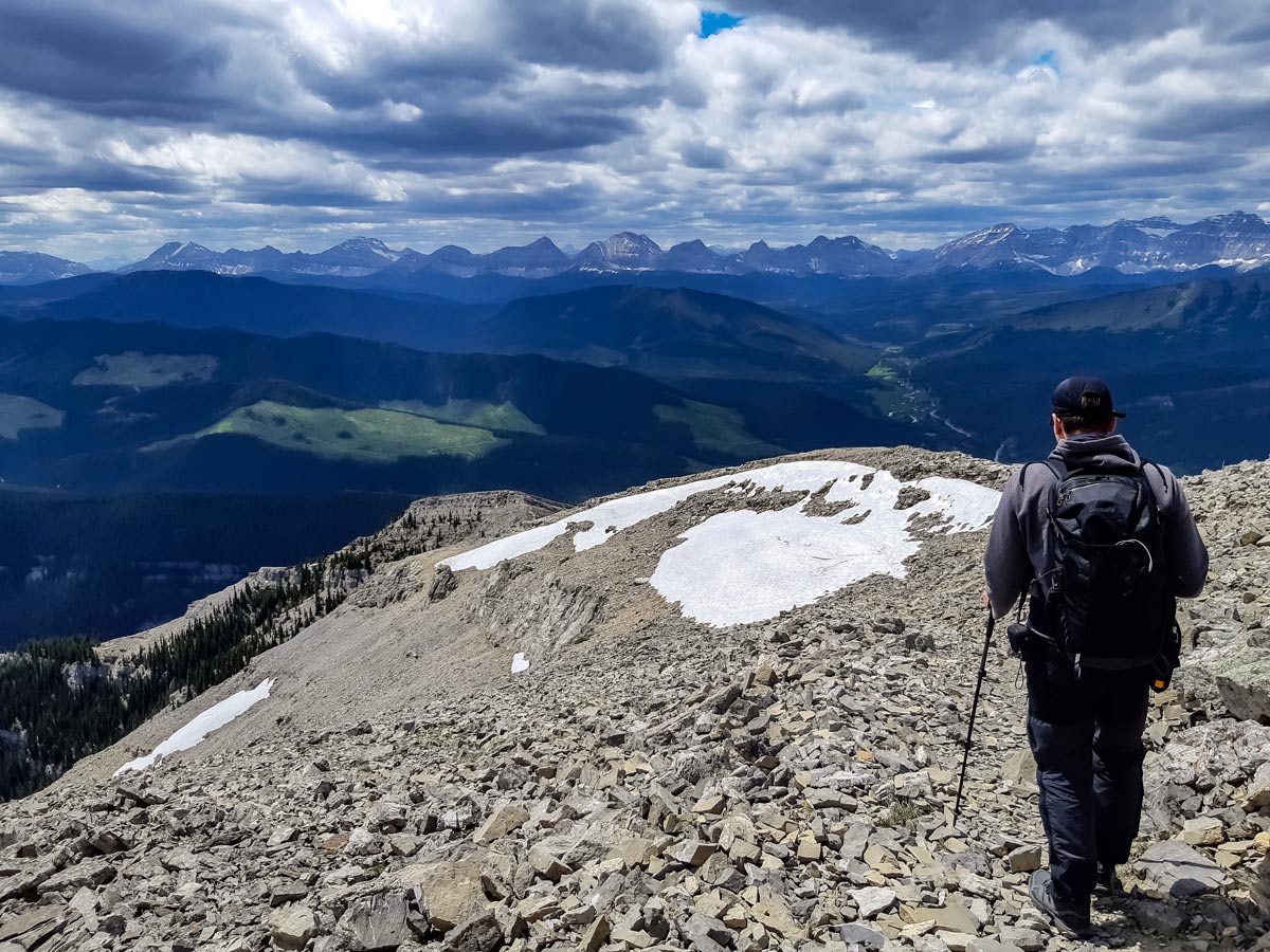
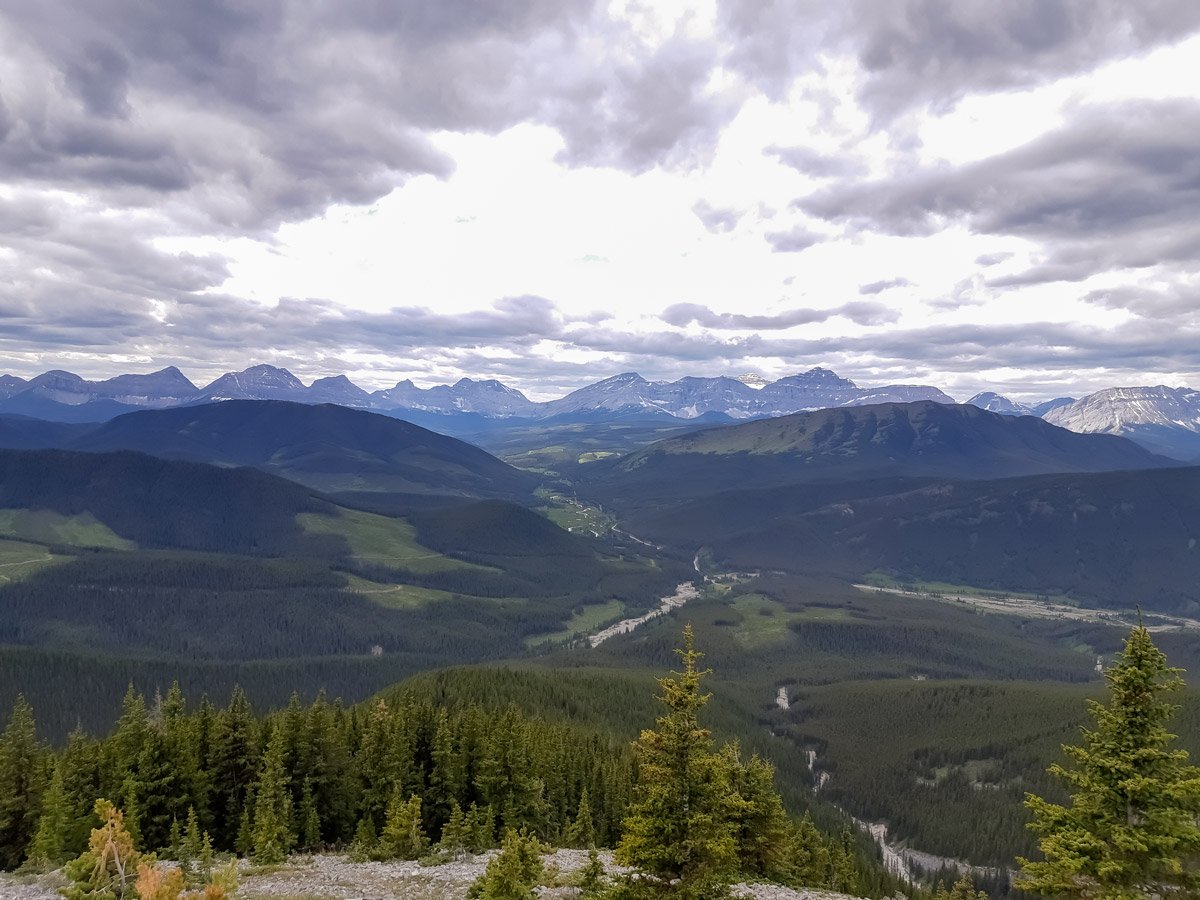
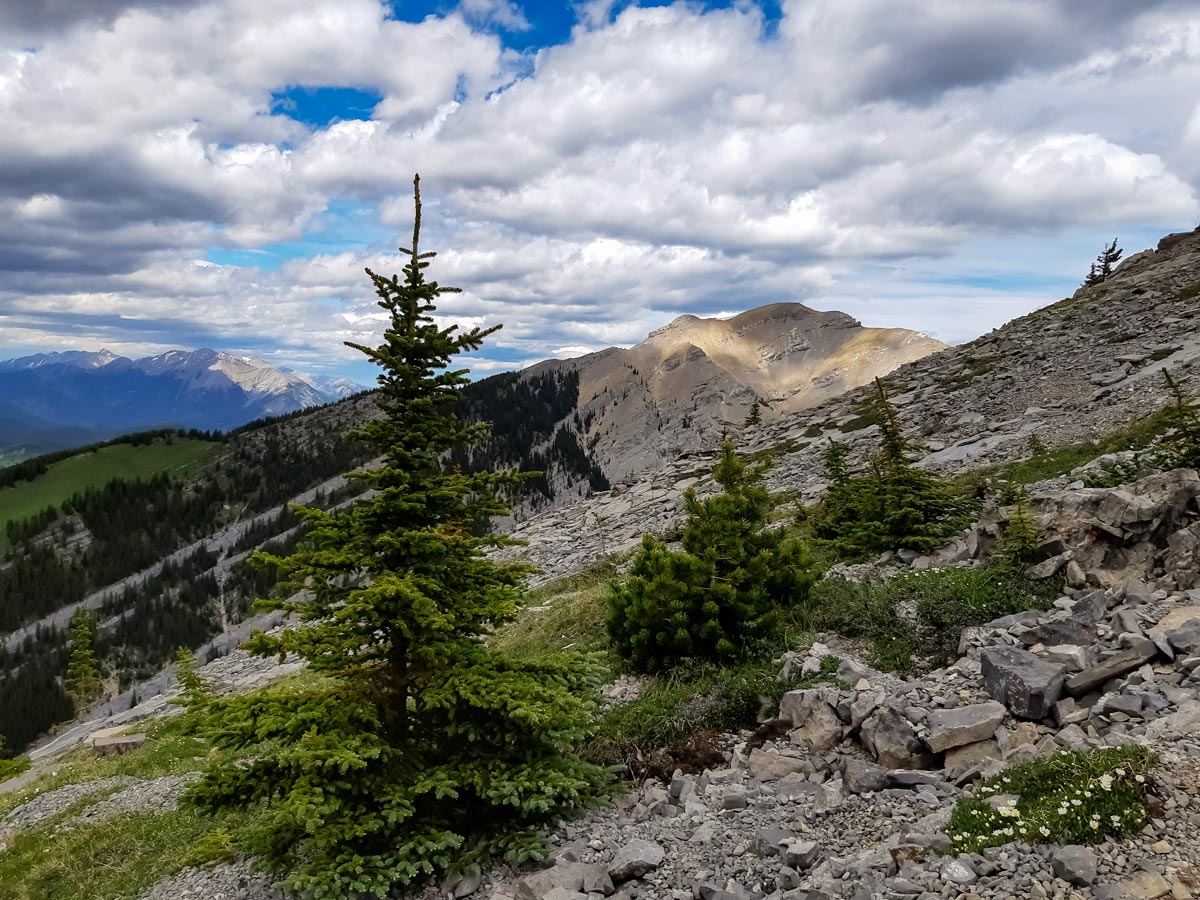
After switchbacking through the forest for a while, you will emerge from the treeline. This is where the beautiful part of the hike begins. The views of the surrounding foothills will open up, and soon you’ll see the false summit in front of you.
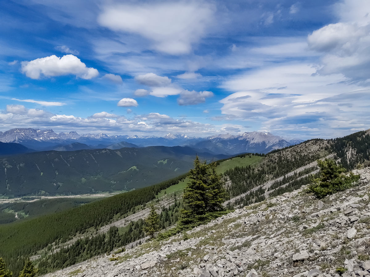
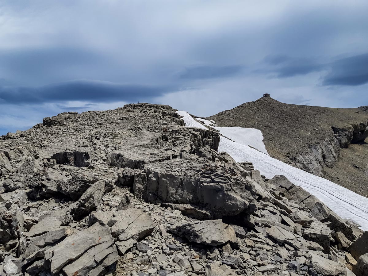
As you approach the top, the path will get rocky. There’s one part where those afraid of heights might feel a bit uneasy, but it’s not difficult or very exposed and it’ll be over quickly.
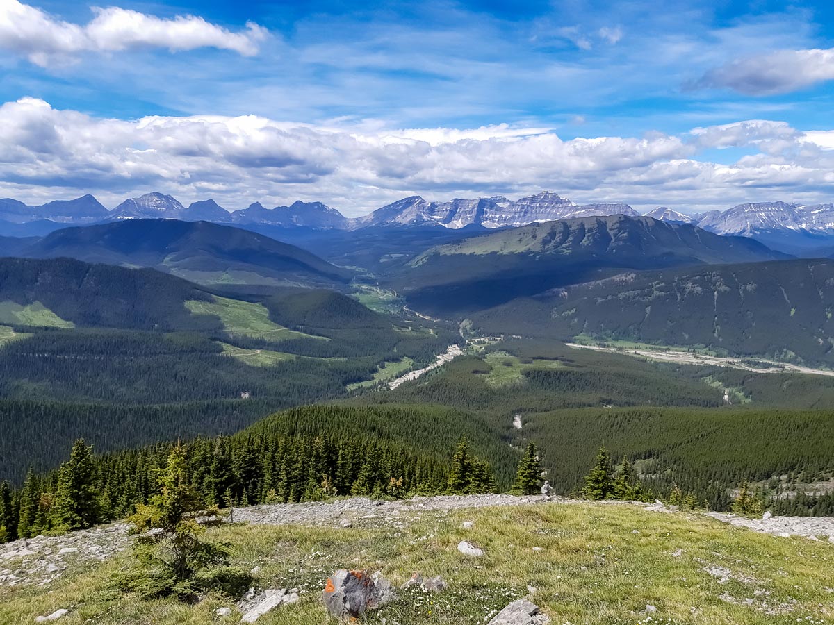
Go all the way up to the old fire watch hut and enjoy the views! Looking north, you can see the north peak of Mount Burke, to the south you can see Plateau Mountain, to the east, prairies, to the west, the stunning white-capped peaks of the Rockies.
Go back the same way you came. It’s important to note that the small junction just before the straight portion of the path (the same one you came up, it will be on your right now) might tempt you down the old trail, but we suggest against taking it. It leads to slippery, steep gravel all the way to the Salter Creek bed, and is a generally dusty and unpleasant trek. Stick to the same path you came up and you’ll end up back at the parking lot.
Insider Hints
Those who are up for a challenge might want to make a loop of the hike, continuing to the north peak of Mount Burke. Please note that this path is not maintained, involves some scrambling, and the route might be hard to find at some parts.
Consider spending a night at Cataract Creek Campground. This is a quiet and peaceful campground that is rarely full. Go for the sites facing the river!
Similar hikes to the Mount Burke hike
Lost Lake Hike
Hiking to Lost Lake begins on a very popular trail that leads to Lillian and Galatea Lakes. The trail becomes…
Terrace Trail
The Terrace Trail South is a great connecting trail that links Ribbon Creek with Galatea Creek. You can choose to…
Memorial Lakes Hike
The trail to Memorial Lakes begins in the central Kananaskis Village area, following the Ribbon Creek trail before branching off…


Willow F. 5 years ago
Nice trails and the views were amazing. The lone abandoned fire watch hut at the very top was really cool. Be prepared because it's a demanding hike.
Coll A. 5 years ago
This trail will walk you through a beautiful meadow with some sparse trees and bushes. There's a straight line with a significant elevation gain, and it looks stunning. I love the stunning view of the white-capped peaks of the Rockies.
Haffy K. 6 years ago
Fantastic views! If you want a quiet and peaceful campground that is rarely full, spend the night at Cataract Creek Campground. The view of the river there is quite nice. It's definitely worth a visit.
Aaron P. 6 years ago
Challenging hike with steep uphills, few switchbacks, and exposed trails. Great accomplishment to finish it safely.
Rebekah L. 6 years ago
Beautiful and accessible. The white-topped mountain peaks were mesmerizing. Aside from the views from the summit I also admire the views along the way.
Paul D. 6 years ago
Well worth the grind. Outstanding views await at the top. Very rewarding!