


King Creek Ridge hike
View PhotosKing Creek Ridge hike
Difficulty Rating:
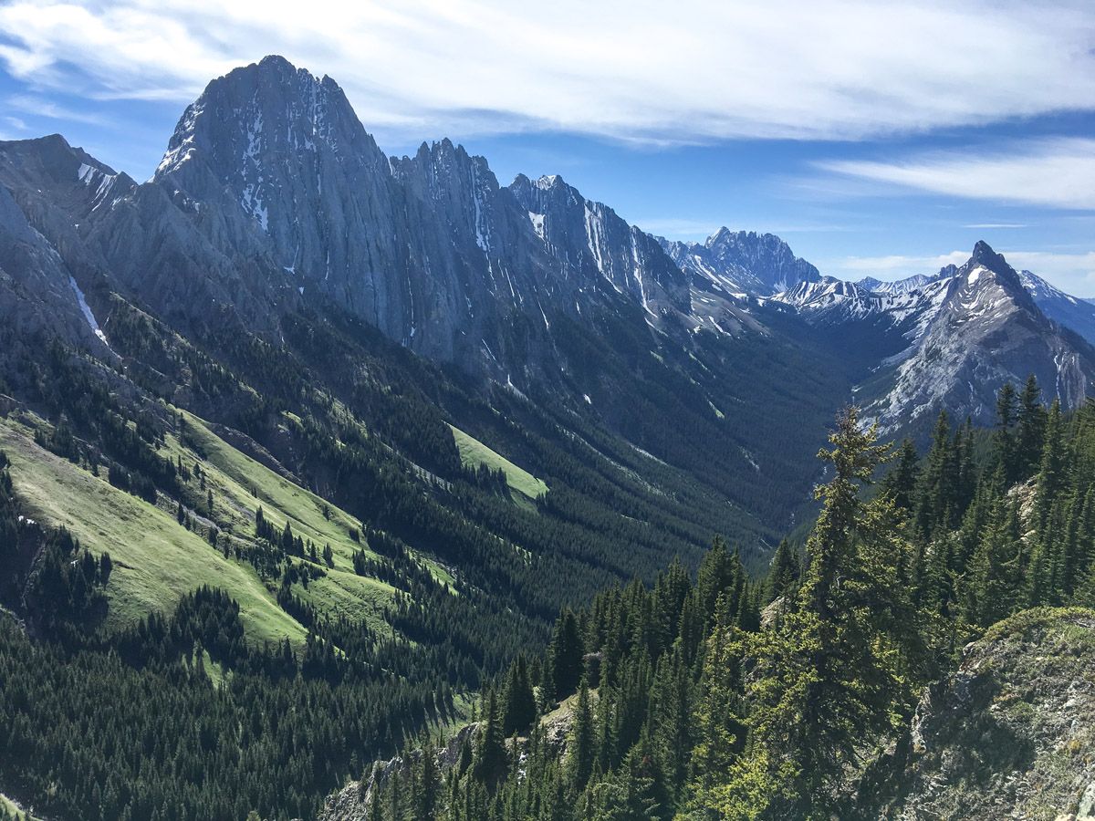
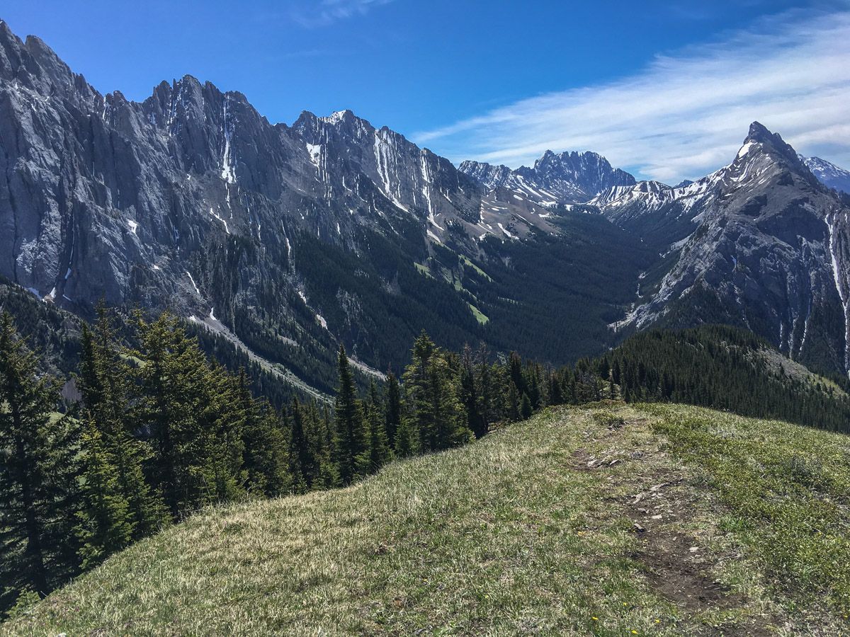
The hike up King Creek Ridge is spectacular – offering the chance to get up close with the spectacular Opal Range, views of Mount Wintour and the valley of the Kananaskis Lakes. Although this is a very steep hike in Canmore, it’s absolutely worth it for adventurous, fit hikers.
Getting there
To access the trail, park at the King Creek Day Use Area, located at the winter gate on Highway 40, which is just before the turn-off to Kananaskis Lakes Trail.
About
| When to do | June through October |
| Backcountry Campsites | No |
| Toilets | Trailhead |
| Family friendly | No |
| Route Signage | None |
| Crowd Levels | Moderate |
| Route Type | Out and back |
King Creek Ridge
Elevation Graph
Weather
Route Description for King Creek Ridge
This exciting, yet challenging hike seems easy on paper, but the steepness of the early ascent is deceptive. From the parking lot, walk out to Highway 40, and cross the bridge over King Creek. Immediately turn right and continue up on a well-marked path.
The path feels like it is going straight up, with only the slightest of switchbacks. Many braids have been created by various animals and people at certain junctures, but alas, the ascent is ever-continuous. Luckily, frequent breaks give you the chance to look behind at the wonderful views unfolding below.
Eventually, you’ll come to a T-intersection. Remember this location, as you may get confused on the return. Turn left and continue through the light forest, making sure to look out for the sporadic views to your right. As you emerge from this forest, however, prepare to be amazed. Early season wildflowers will dot the open areas as you wander up. Just make sure to frequently stop to look back at the ice-cream-cone-shaped Mt. Wintour.
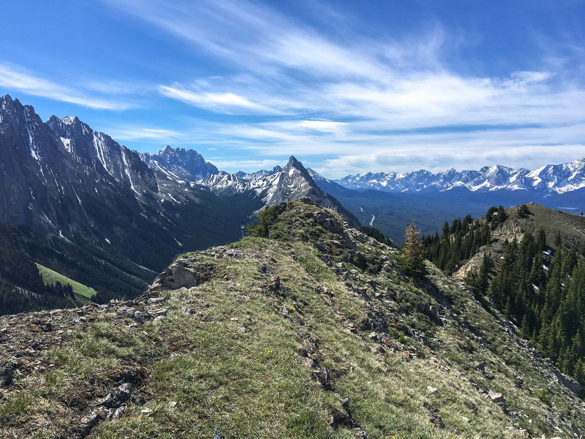
A final mild scramble (though with some major exposure to your right) takes you to the pinnacle – a great place to break for lunch. Enjoy the variety in the rock color, the greens of the meadows in the Opal Range and the views of Kananaskis Lakes to the South. If you look north up the valley, you can even see the former Fortress Ski Resort as well.
The descent on the way down is tricky, and poles help. Keep in mind that the ground is easier to grip after rain, and it can be quite challenging when it is dry and hard.
Insider Hints
This hike is much easier with two poles and good hiking boots for grips on the way down.
Head down to Boulder Creek Trading Post on the Kananaskis for an ice cream and to explore the lakes once you’ve finished.
Similar hikes to the King Creek Ridge hike
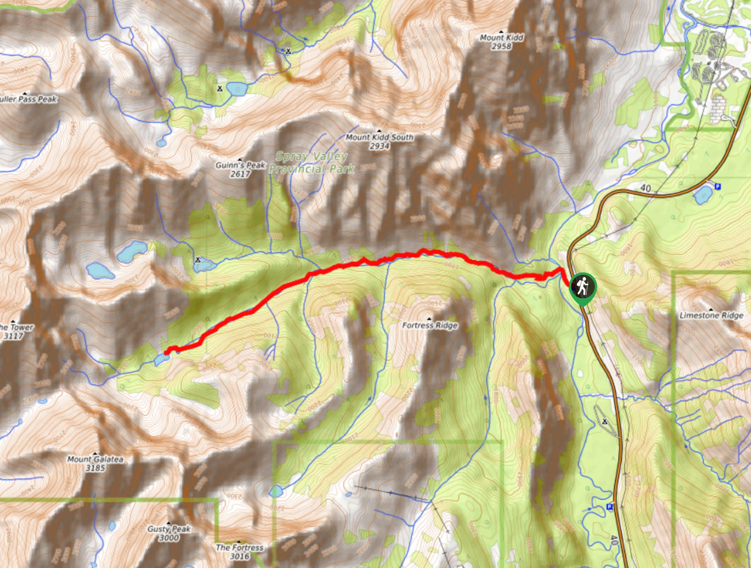
Lost Lake Hike
Hiking to Lost Lake begins on a very popular trail that leads to Lillian and Galatea Lakes. The trail becomes…
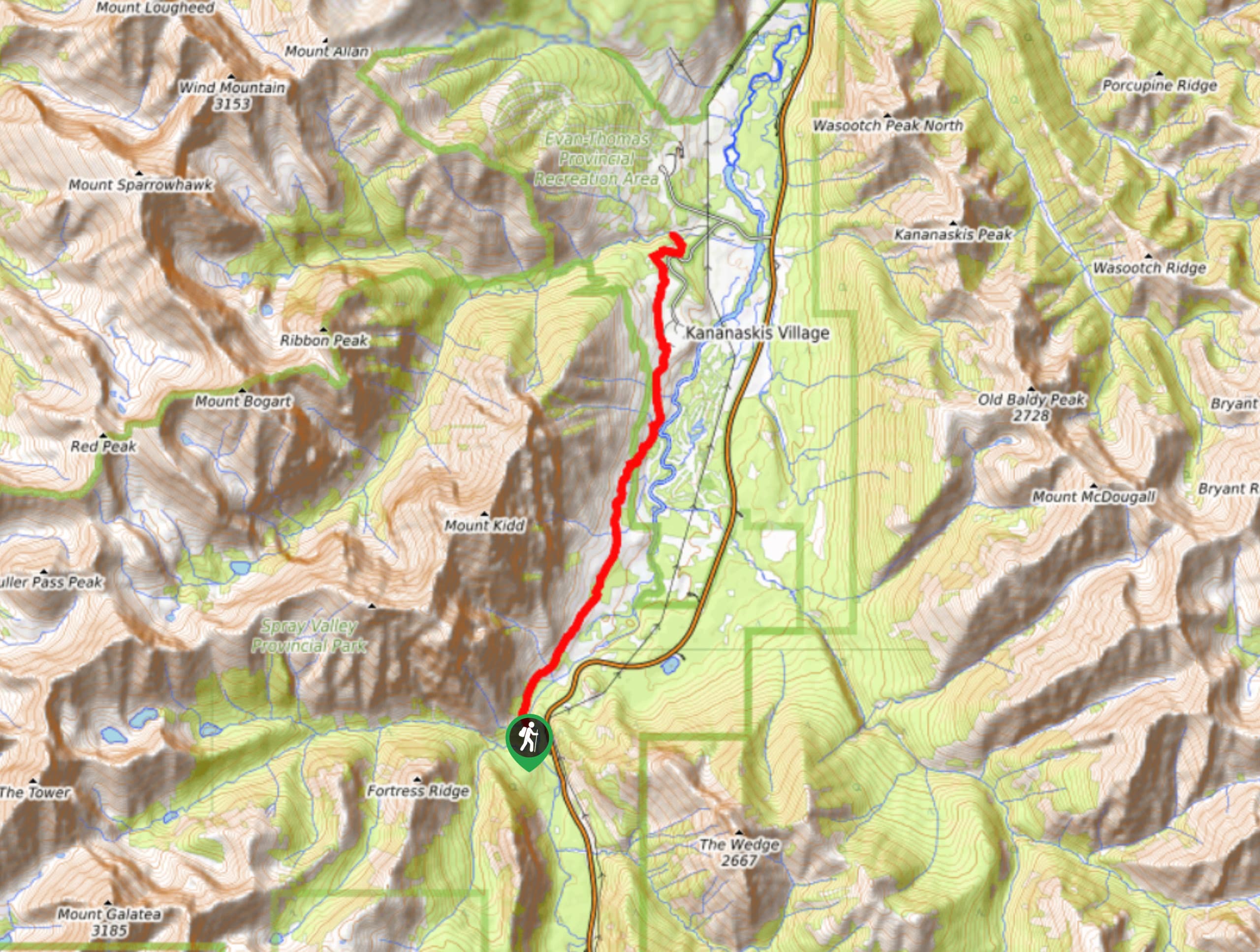
Terrace Trail
The Terrace Trail South is a great connecting trail that links Ribbon Creek with Galatea Creek. You can choose to…
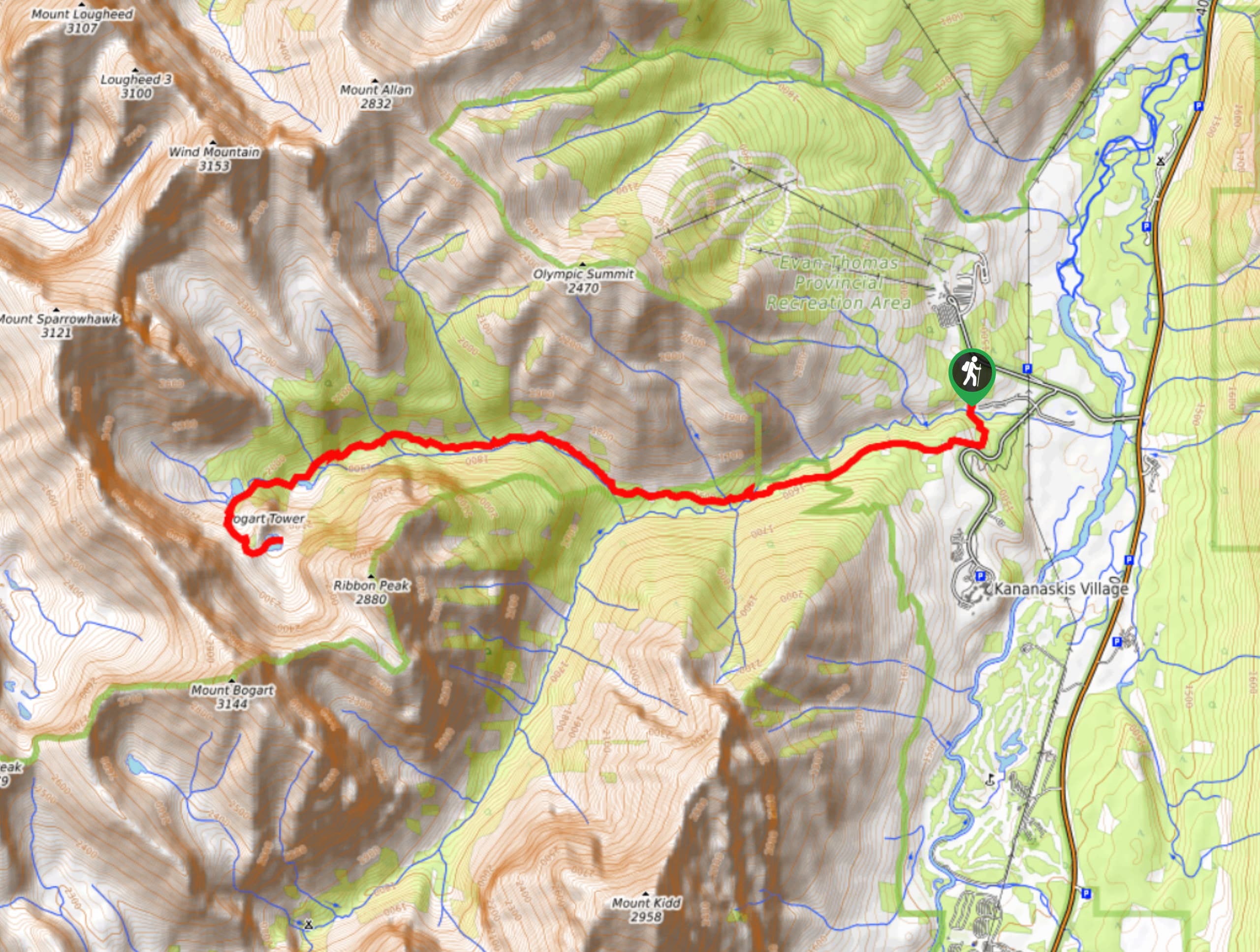
Memorial Lakes Hike
The trail to Memorial Lakes begins in the central Kananaskis Village area, following the Ribbon Creek trail before branching off…

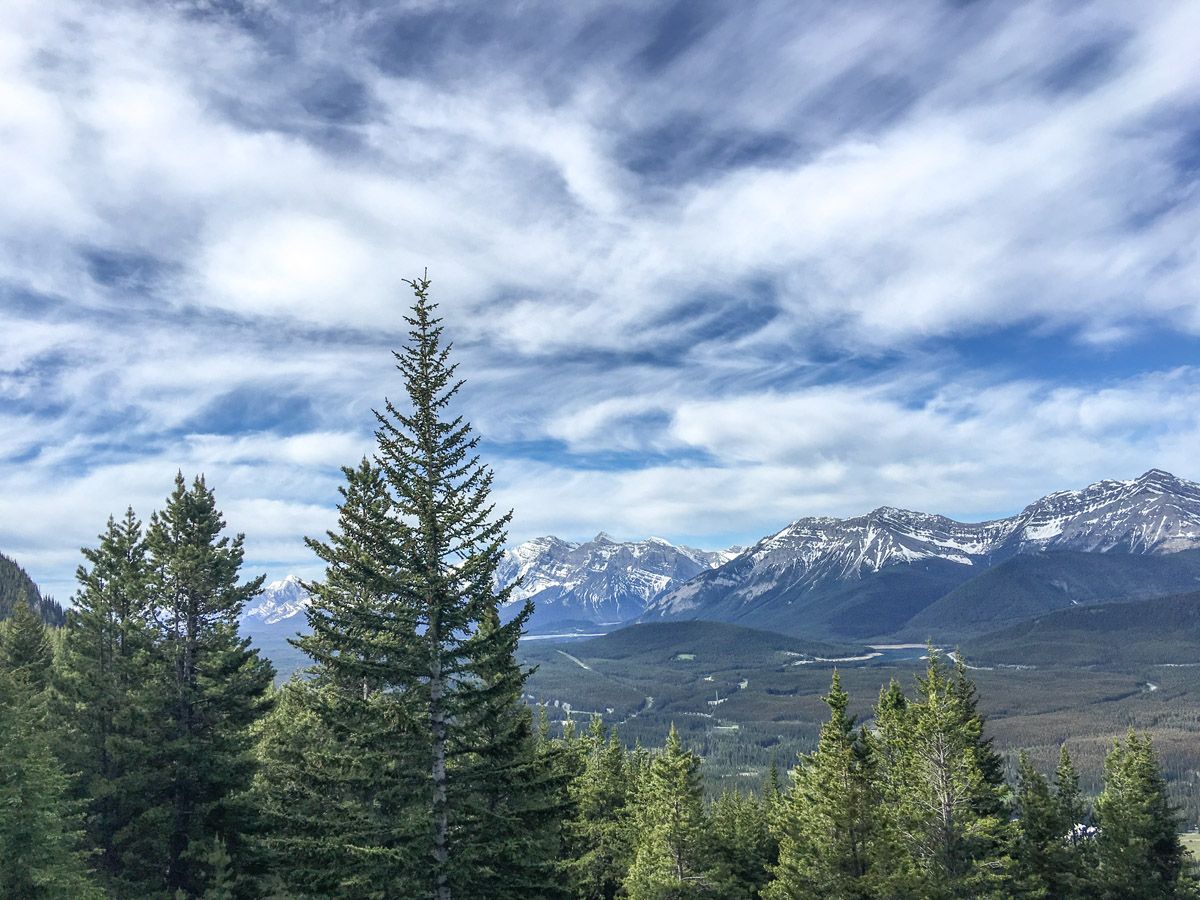






chloehikes 4 years ago
By far one of my favourite hikes in K country. The first half is a slog but it's not too long so by the time you reach the ridge the gorgeous views make you forget about the sweat you accumulated on the way up. Overall I'd say it's one of the best views for comparatively low effort. Both times I have hiked here I've lucked out with no wind at the top so we got a nice long lunch break in. Not much shade though so bring sun protection!
oskareglq 5 years ago
Our journey here was wonderful! It was a great hike to try! It will makes you sweat .
LaylaP. 5 years ago
I’ll be back one day - absolutely stunning!
kysto7 5 years ago
The first 2km sucks without having switchbacks, but incredible views at the top! Pictures don't do this beauty justice! I took my dog along for the ride and he did just fine! However, It's nearly impossible to have bigger dogs attached to you coming down...it's too steep.
mallorykirzinger 5 years ago
Do this one with fresh legs- the trail starts steep and doesn't give up as you gain most of the total elevation in the first 2 kilometres. Bring poles and wear sturdy boots! Once across the ridge and at the summit, you look over the Opal range on one side and into a hidden valley on the other, which is simply stunning. The mountains feel so close you could almost touch them. Well worth the grind to get up there!
Linby SK. 5 years ago
A tough but rewarding hike. It offers stunning views at the top. One of the most memorable hikes I've done.
hannahthorns 5 years ago
Brilliant hike! You'll only understand why they named it King Creek when you get to experience it yourself.
LyleM 5 years ago
Not a technical hike but it was super steep but the amazing views at the top makes it totally worth it
Grant Ko. 5 years ago
This is a good quick hike cardio workout to the ridge but the reward is absolutely gorgeous It has a very nice view from the top.
Heidon 5 years ago
Don't be discouraged with the short steep hike at the start or you'll miss the rewarding views that looks like a cut out from a postcard.