


Centennial Ridge and Mount Allan Summit hike
View PhotosCentennial Ridge and Mount Allan Summit hike
Difficulty Rating:
The Centennial Ridge and Mount Allan Summit is the highest maintained trail in the Canadian Rockies. It’s a true pinnacle with great views and a nice alpine hike along the way. Bring lots of water as you’re exposed most of the day. The Trail is closed from April to late-June each year.
Getting there
Take Highway 40 towards Nakiska and turn off on Mt. Allan Drive. Take the first left, the turnoff for the Delta Hotel and then quickly your first right on Ribbon Creek Rd. Park in the lot at the end.
About
| When to do | June through October |
| Backcountry Campsites | No |
| Toilets | Trailhead |
| Family friendly | No |
| Route Signage | Average |
| Crowd Levels | Low |
| Route Type | Out and back |
Centennial Ridge and Mount Allan Summit
Elevation Graph
Weather
Route Description for Centennial Ridge and Mount Allan Summit
Centennial Ridge and Mount Allan is a great hike to test your endurance and get a beautiful view of a high summit. This trail can be done as a through hike from Dead Mans Flats, though we prefer the up and back from the Ribbon Creek parking lot.
Before you head off, make sure you have plenty of water. There is none on the hike and you are exposed most of the way. We’ve experienced many people running out of water, making this route harder than it already is.
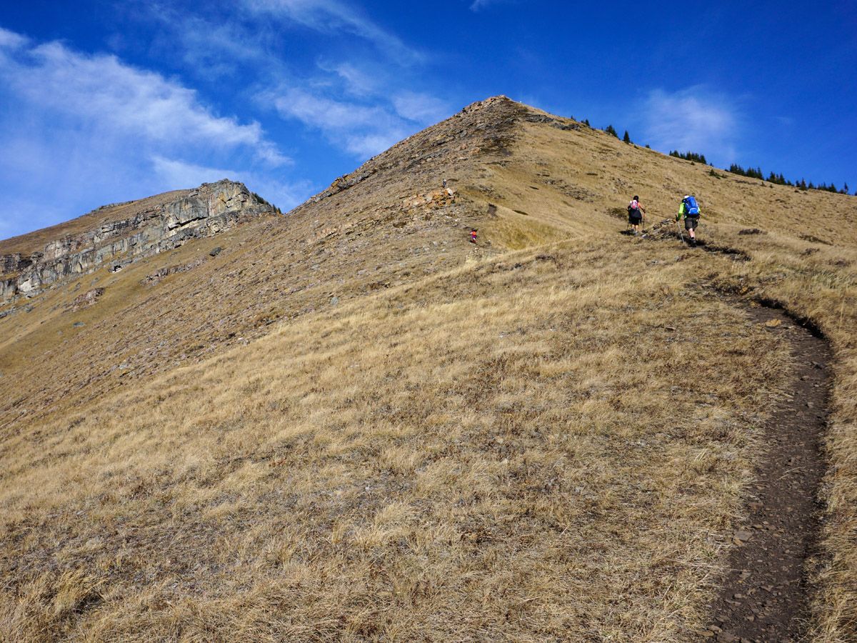
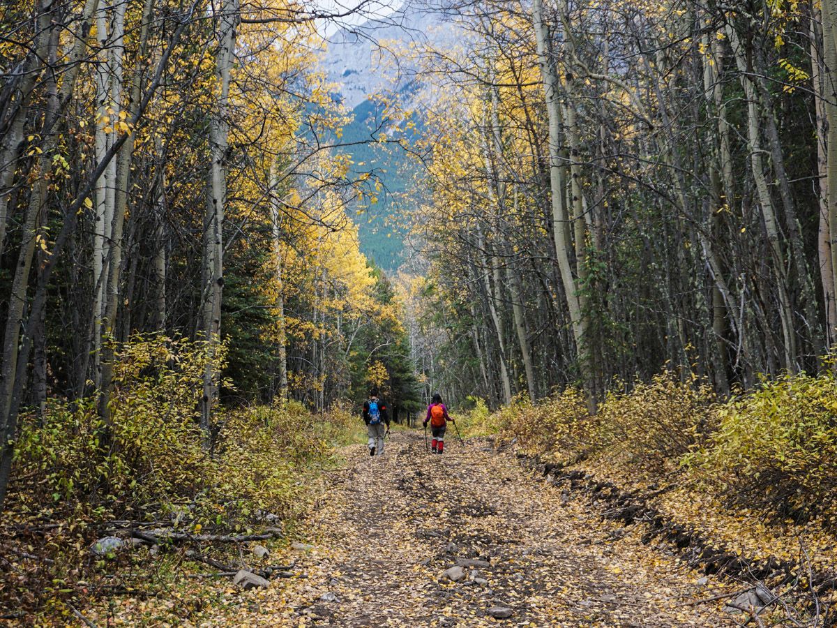
From the parking lot, go north on Hidden Creek Trail for 984ft and take the hard-left turn to follow the path. There are occasional trails that veer off, however the path is well signposted. Follow the trail and it will lead you out of the trees where the ascent of Centennial Ridge begins 1.6mi from the trailhead.
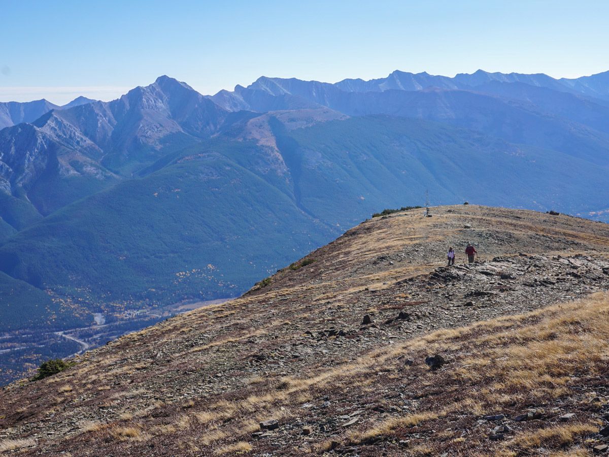
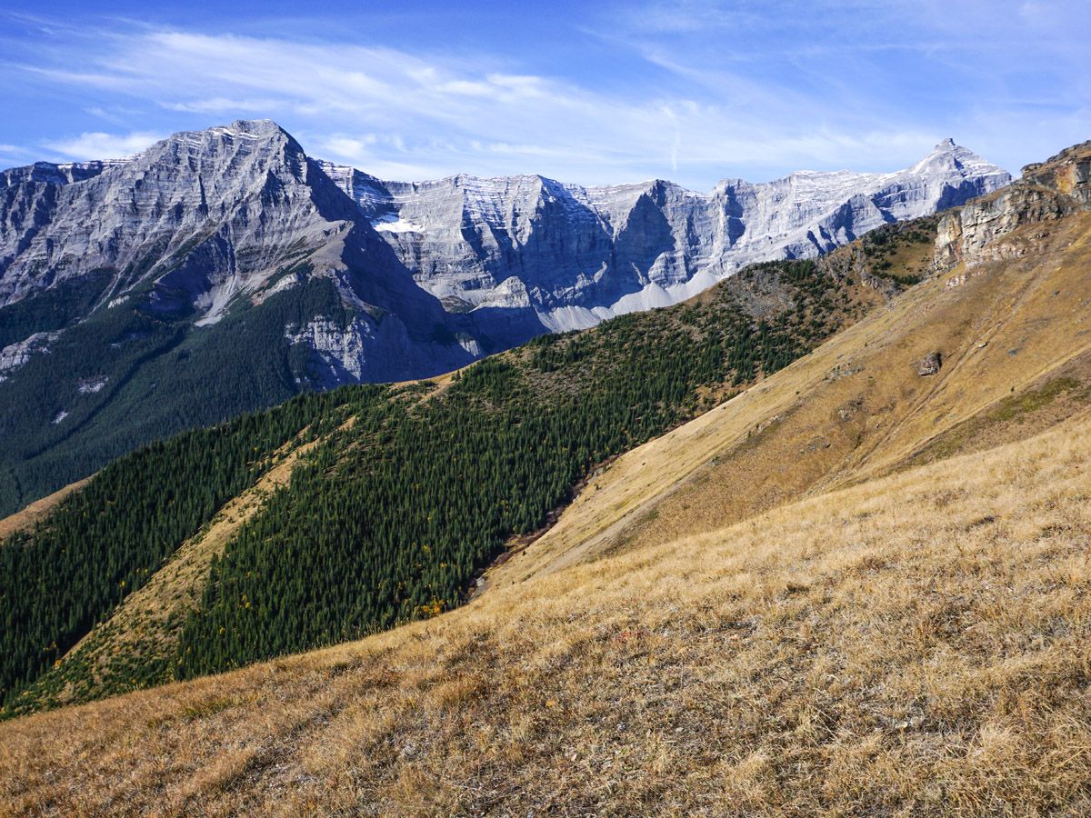
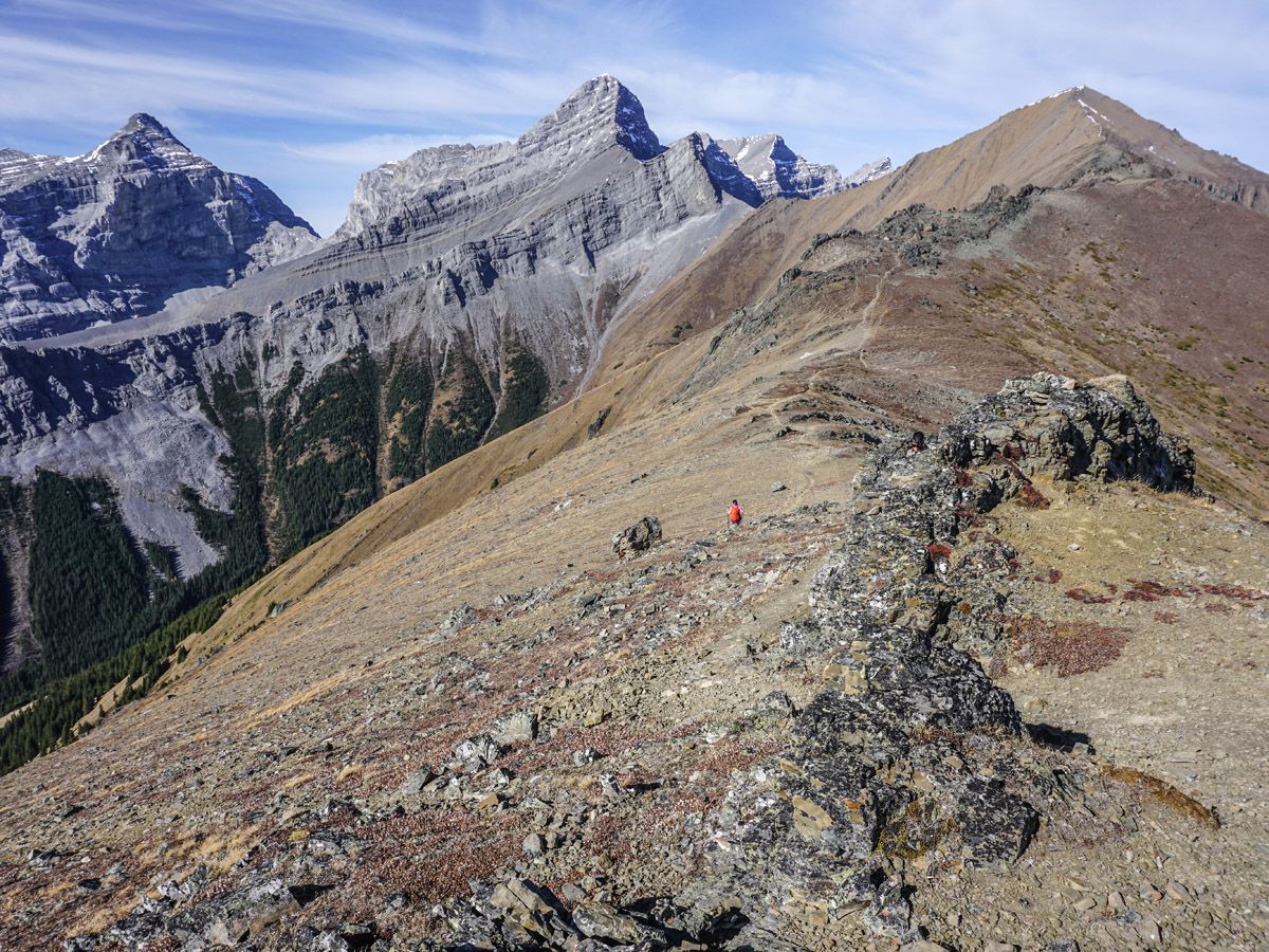
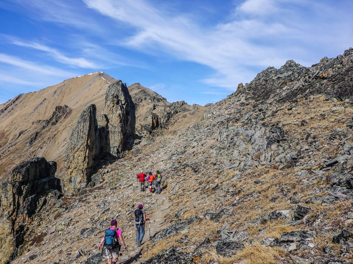
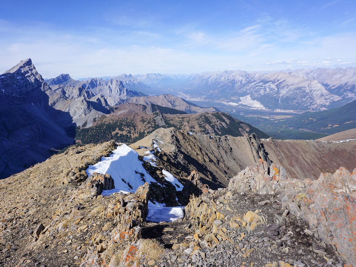
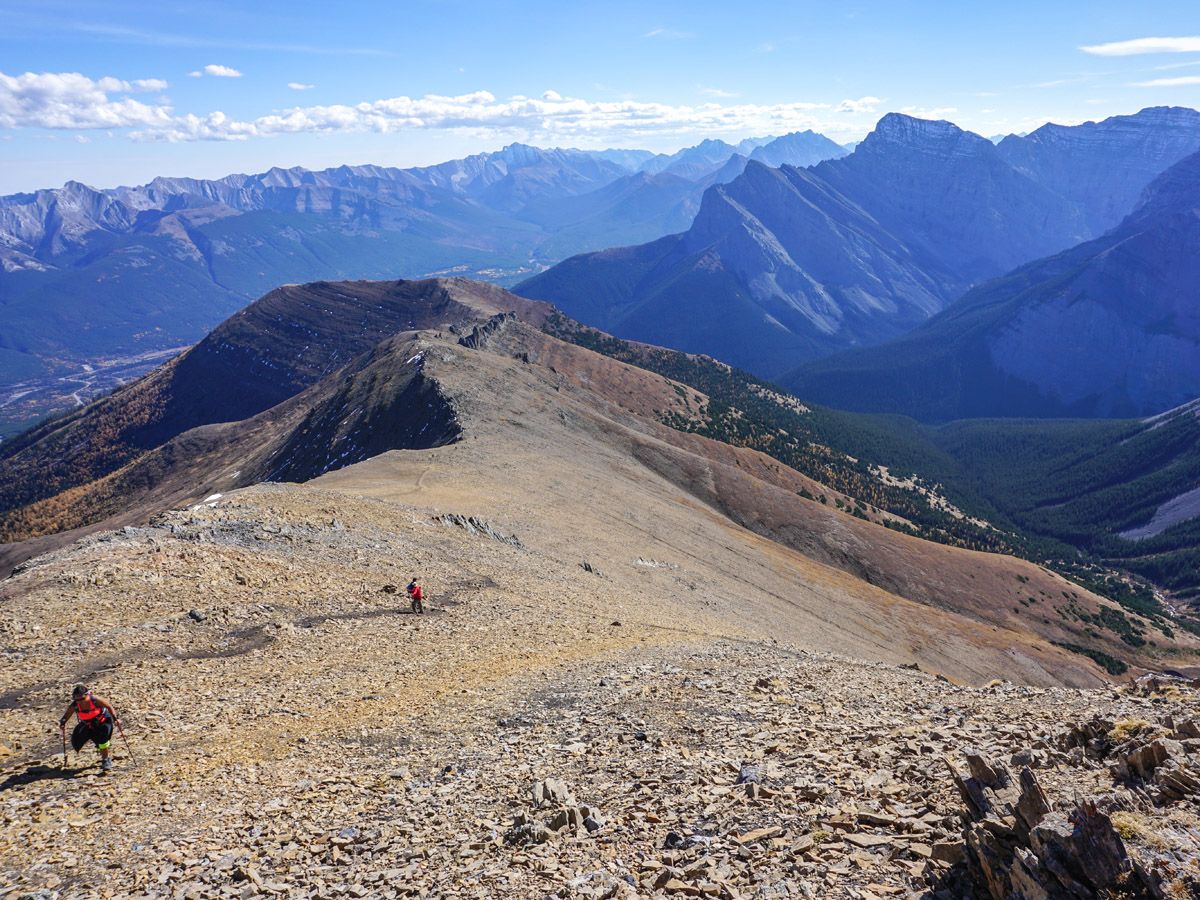
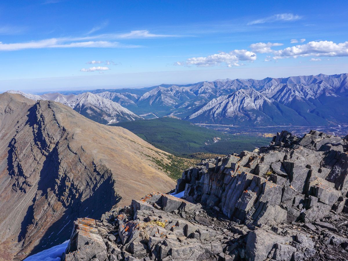
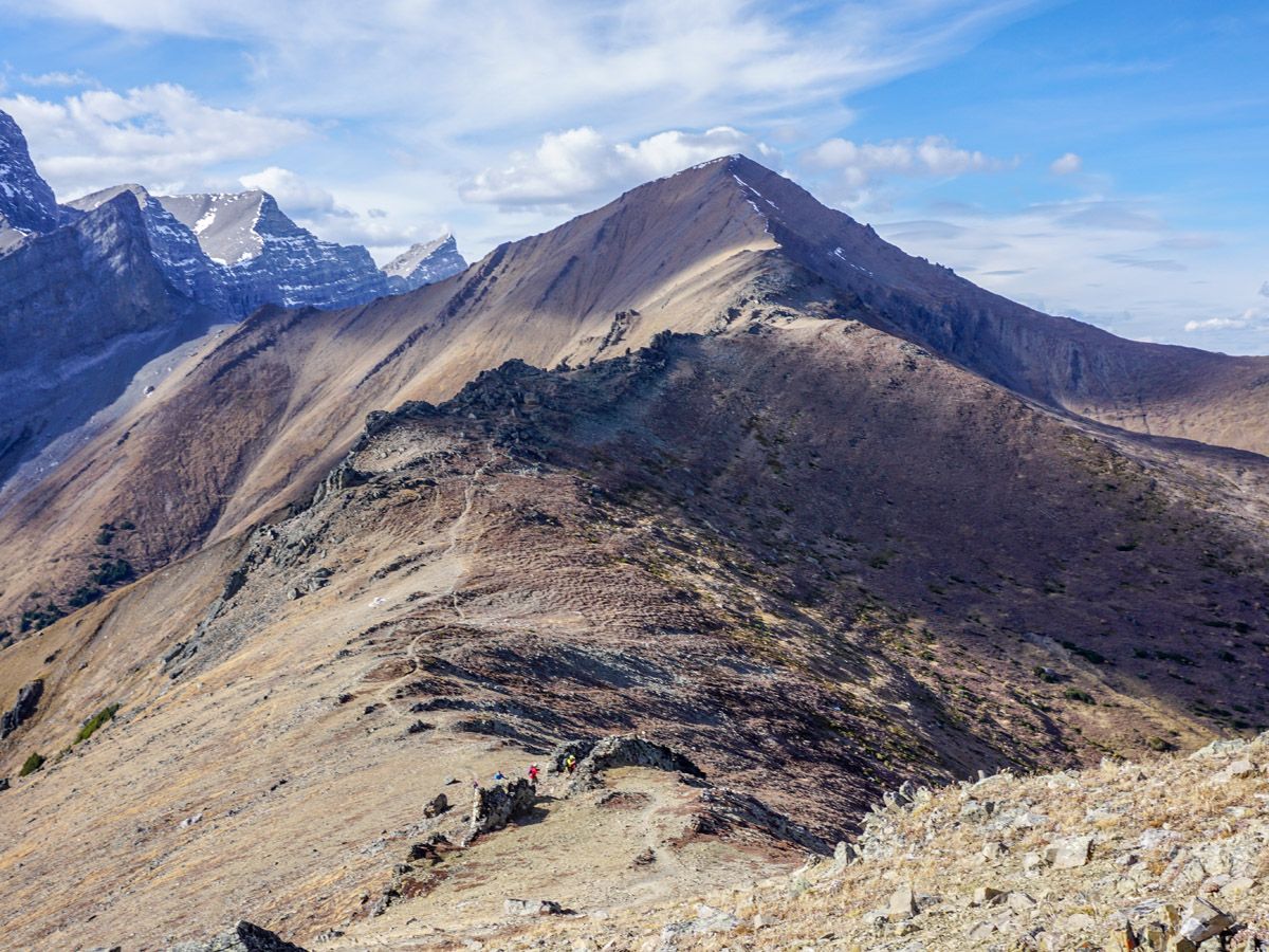
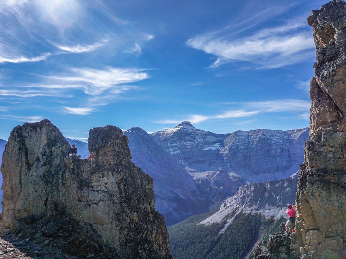
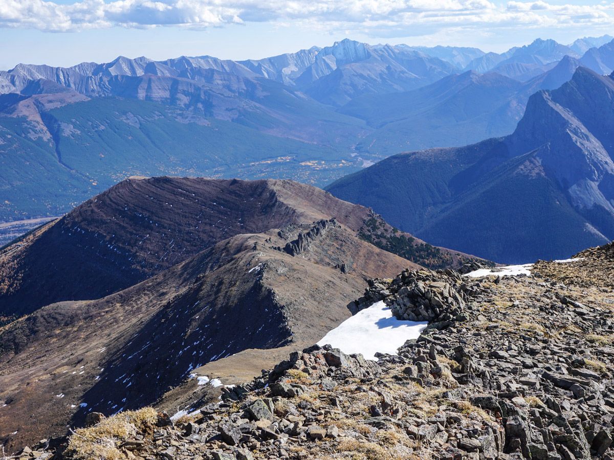
As you ascend the ridge, beautiful views unfold to your left. Eventually on the top you can look down at some of the slopes of Nakiska Ski Hill, home of the 1988 Olympic Alpine Ski events. The ridge walk continues, with new and magnificent sights as you ascend. A highlight of this route is the unique rock formations known as the Rock Garden roughly 3.7mi from the trailhead (8136ft). This is a wonderful place for a lunch, and some welcome shade.
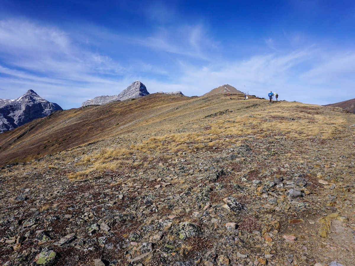
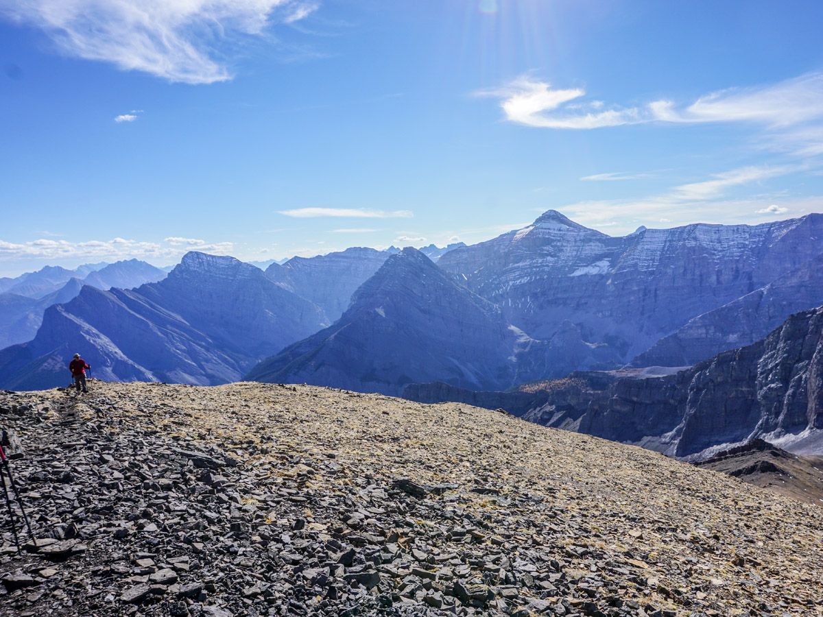
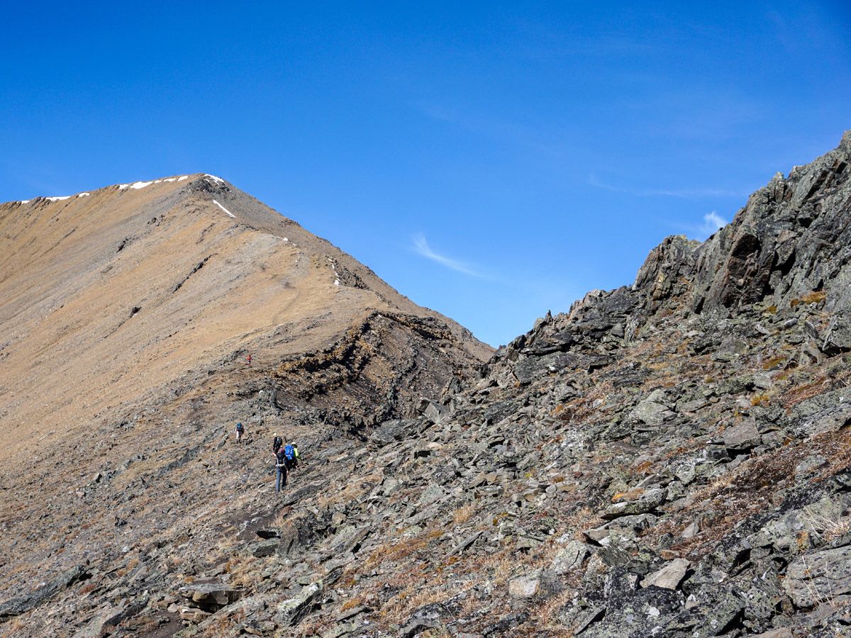
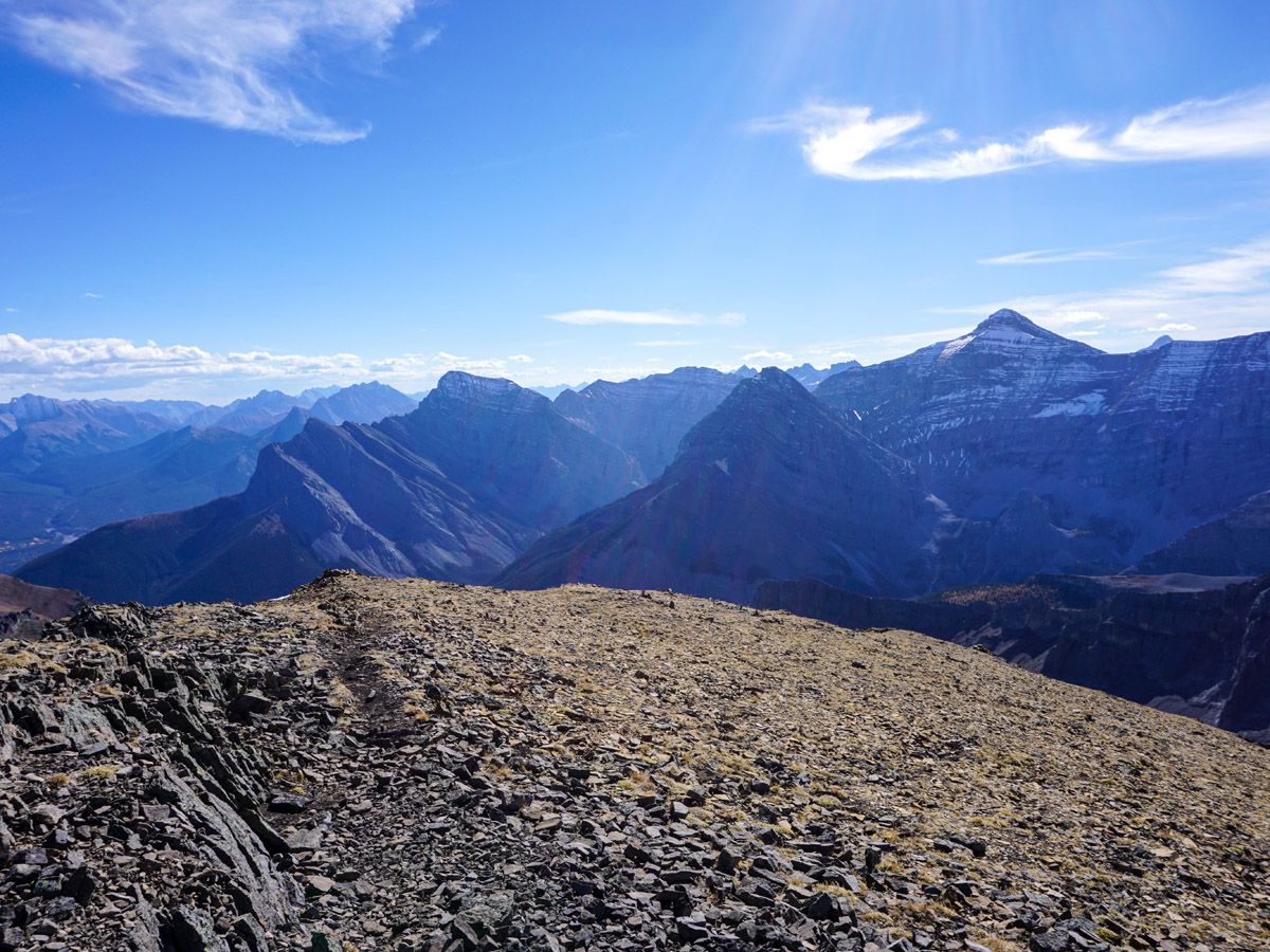
The route through the rock garden offers many alternatives and the occasional use of hands, though no true exposure. Coming out of the rock garden it is a 787ft gain to the summit. This is another great location for a break, with astounding views in all directions.
The descent is the same route you came up.
Insider Hints
This trial is closed annually from April 1st to June 21st for wildlife.
Bring a lot of water. You’re working hard and there is little shade. We typically take 6L of water per person on warm days.
Similar hikes to the Centennial Ridge and Mount Allan Summit hike
Lost Lake Hike
Hiking to Lost Lake begins on a very popular trail that leads to Lillian and Galatea Lakes. The trail becomes…
Terrace Trail
The Terrace Trail South is a great connecting trail that links Ribbon Creek with Galatea Creek. You can choose to…
Memorial Lakes Hike
The trail to Memorial Lakes begins in the central Kananaskis Village area, following the Ribbon Creek trail before branching off…


JulesFW 5 years ago
I am overweight, with my 66th birthday in 9 days. For the past 2 months I have been trying to get into shape again by hiking every Sunday. My wife (16 years younger) was freaked out by the steepness and concerned about having enough strength for the return so I left her behind about half way up on the first level ridge. This was followed by an extra steep section to a much longer ridge starting at the weather stations. A bit of up and down here and then a bit of a saddle which ends (on the top of the uphill) at the rock garden. With a weather system coming in several groups had decided to not tackle the top (a few other groups had long ago called it a day), but sheer will power and tenacity drew me slowly to the summit which I finally reached at 4:30. I started to eat a small bar but could hardly hold it down, due no doubt to the fact that I had been going non stop except multiple mini rests to catch my breath. About 4 minutes on the top taking pictures I started to hustle back down. I needed energy but found that I could not eat except for teeny nibbles of my sandwich...I would have needed a half hour rest at least to overcome this condition but it had started raining and combined with the strong wind, the time, and the fact that my wife was awaiting my return I could ill afford to rest. Fortunately I am not freaked out by steep slopes and am able to to go faster than most down in contrast to slower than a fit hiker going up. My wife followed me closely with baby steps (very hard on my muscles to be going down so slowly) but eventually she gained confidence and we were able to make better time. My total time on the mountain was 8 hours. I stretched afterwards and today my muscle soreness is not nearly as bad as I anticipated. This was a perfect hike for me given that I wanted to test my limits and build my endurance, and in fact I doubt that my heart rate ever dropped below an aerobic level for the entire trip. For this reason I give a high rating. I don't give it the highest because in my youth I could have done a more difficult hike without testing myself to my limits. My wife would likely give it a higher technical difficulty but she did not hike in her youth and really there is nothing especially difficult from a technical standpoint. I was a bit foolish in the sense that if one of us had, for example, sprained an ankle, we would have found ourselves hiking through the forest in the dark. Even if you don't make it all the way (a few groups didn't even make it half way) the fact that the views are good throughout combined with an excellent trail this is a hike worth taking. I would never have made the top 2 months ago so if you are out of shape you will need to work up to this one.
Soli Petravron 5 years ago
This is the highest maintained trail in the Canadian Rockies. It’s a true pinnacle with great views and a nice alpine hike along the way. Bring lots of water because it'll be a long hike.
Sofia L. 5 years ago
The water from the canyon was so pure and clear. It was so refreshing too. Great hike in Denver!
WendyMag. 5 years ago
Trail is in great shape.A truly gorgeous hike. Unlike many trails there's not a lot of up and down until you hit the upper ridge areas. It's mostly just steadily increasing incline.
Heidon 5 years ago
I can easily say that this is one of the best hikes. After about an hour your are out of the trees to enjoy the wonderful views along the way to Mount Allan.
will-perry 5 years ago
It's best to start before breaking dawn to avoid the crowd and to get a more solemn experience.
Sidney A. 6 years ago
There is little shade on this trail. There are rugged and steep slopes along the way. Good hike for avid hikers!
Chris F. 6 years ago
Very unforgiving trails! There are rugged and steep ascends along the way. This hike requires determination!
Fanah L. 6 years ago
This a great hike to test your endurance and get a beautiful view from the summit. Make sure you have plenty of water because you're exposed most of the time.
Mike Kowalcyzk 6 years ago
Wonderful hike! It's a big one, though. Come prepared.