
Warren Peak hike
View Photos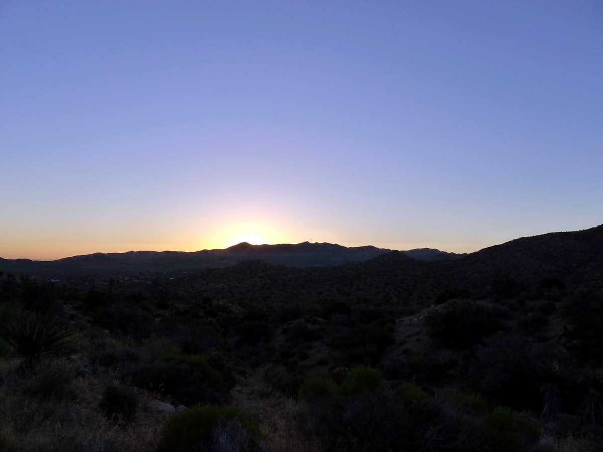
Warren Peak hike
Difficulty Rating:
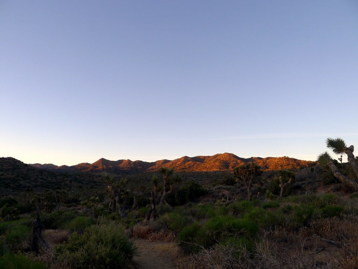
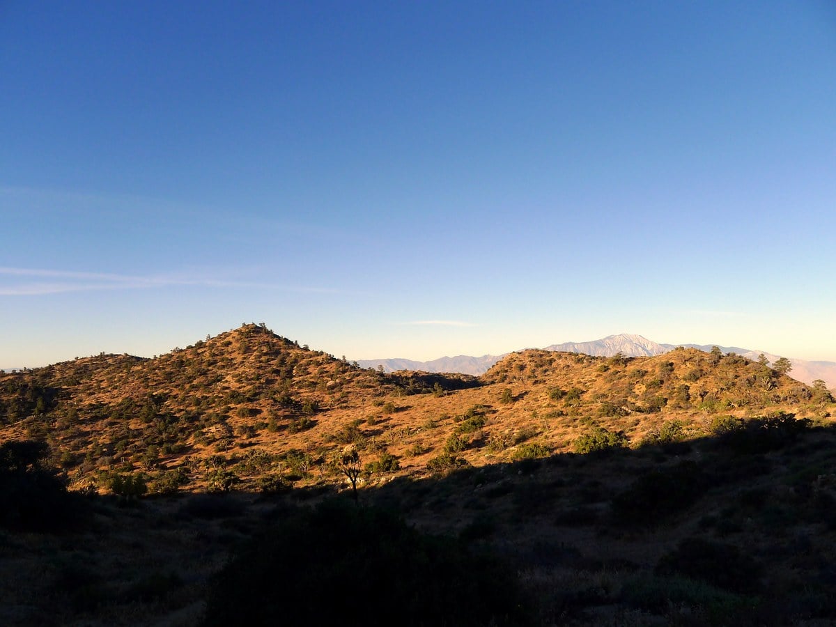
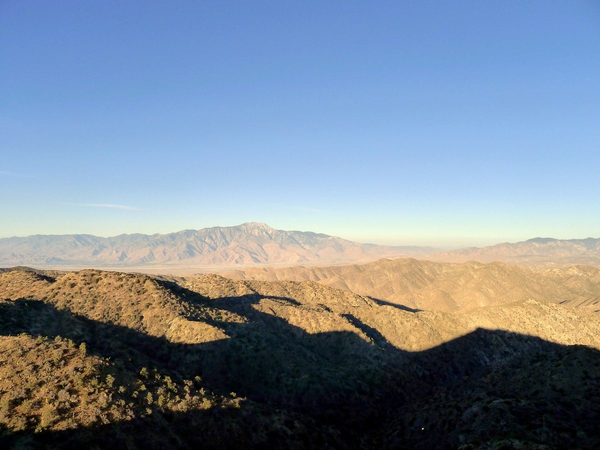
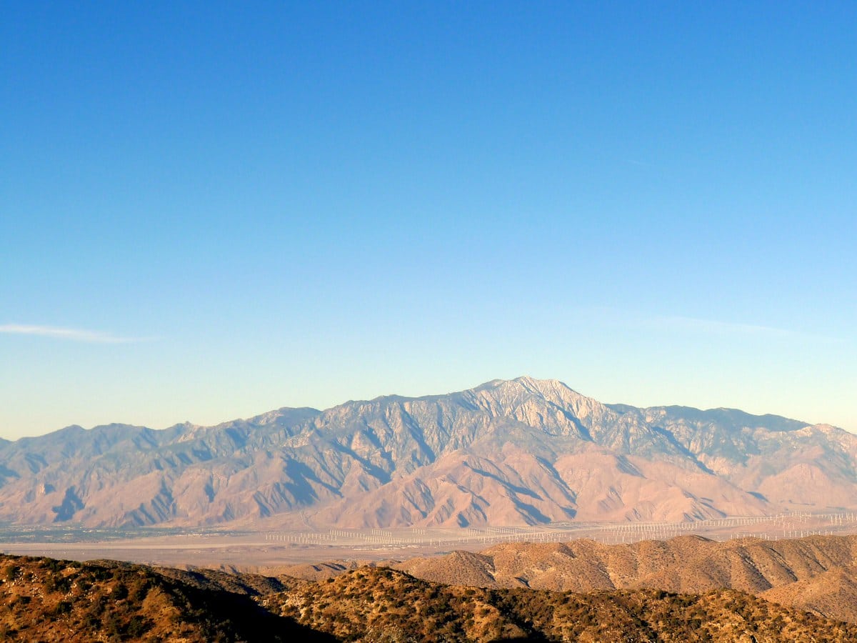
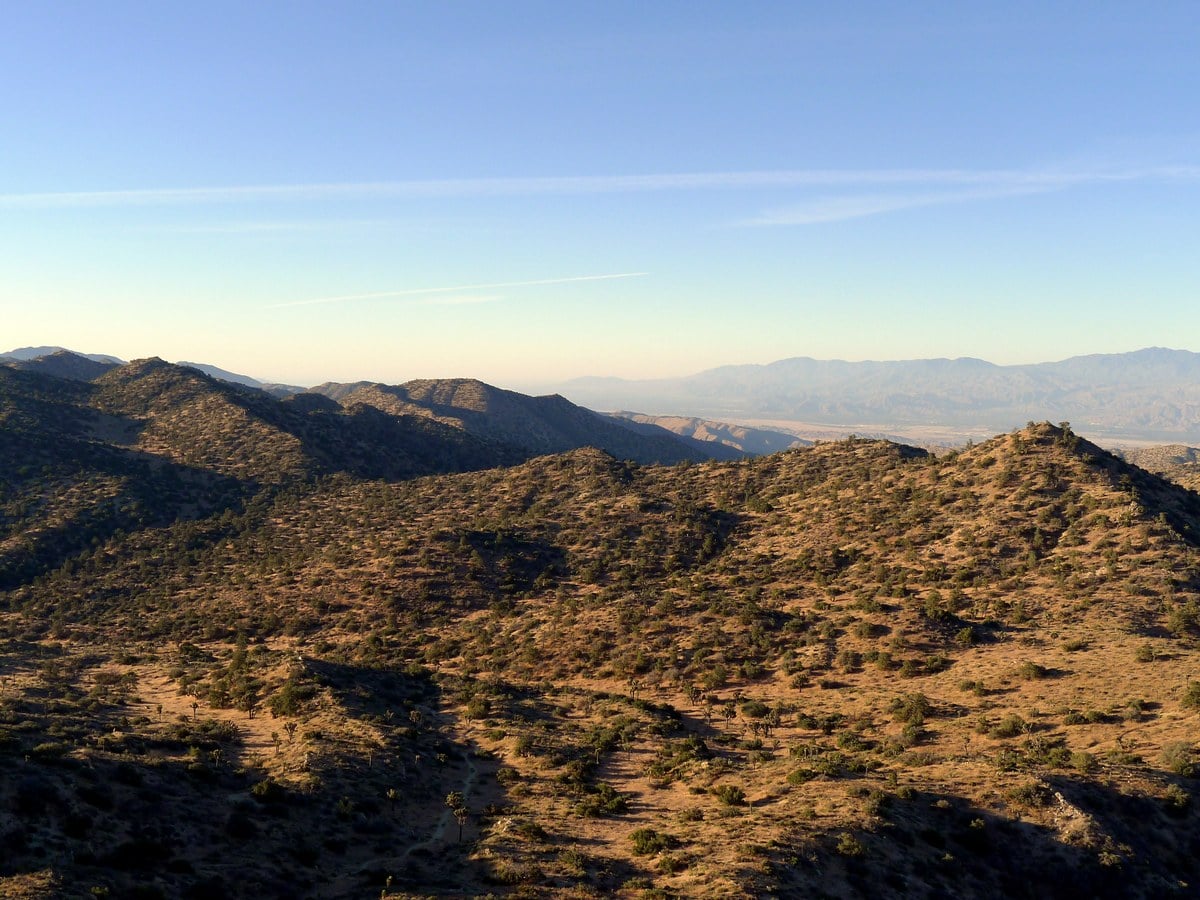
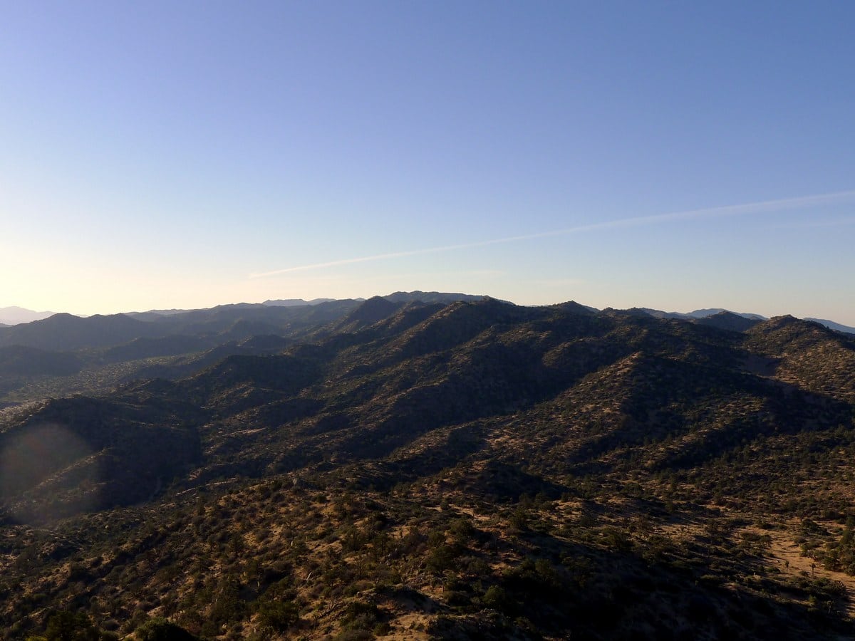
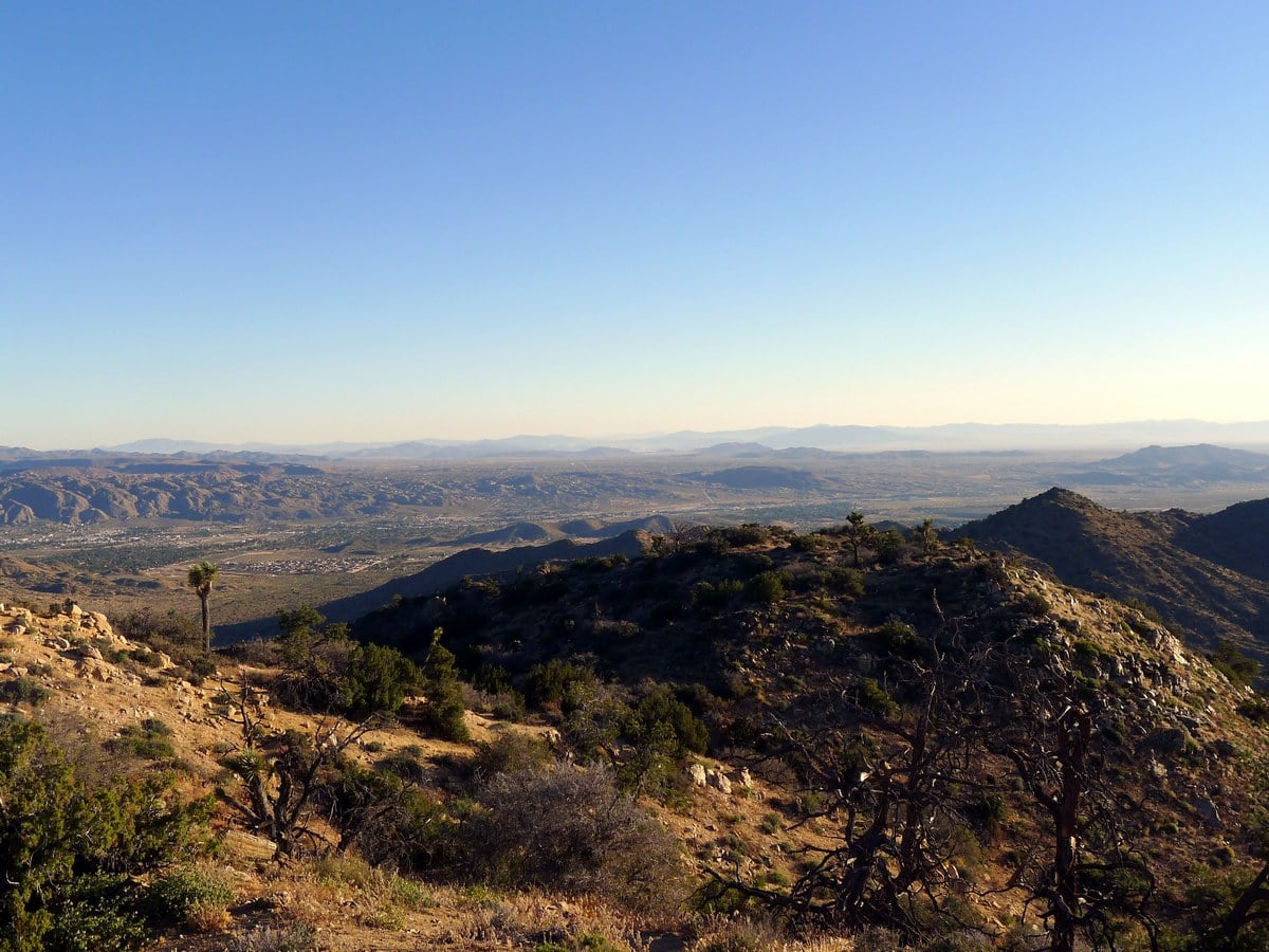
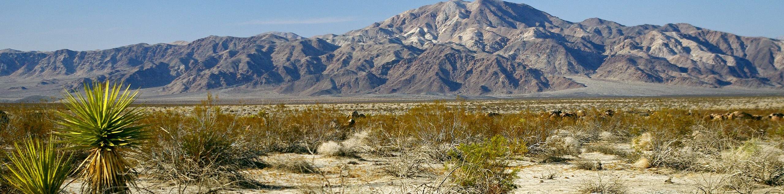
This stunning, (yet lesser known) hike traverses the planes in the quiet northwestern section of Joshua Tree National Park, then climbs to the rocky summit of Warren Peak. Be warned – stunning panoramic views await!
Getting there
From Joshua Tree town, head west along Highway 62 (also know as 29 Palms Highway) for 2.0mi. Turn left onto Avalon Avenue then continue as it turns into Palomar Avenue. After just over 2.0mi you will reach a junction with Joshua Lane, turn left here. At the end of the road turn right onto San Marino Dr. and follow this road all the way to the campground. Along most of the route there are signs leading towards Black Rock Campground.
Once at the campground you have two options: park right before the gates or try to find a spot within the campground and save hiking a boring half-mile. If you are camping in the campground this is a no brainer, but otherwise you may risk getting a citation. The route described below begins from the trailhead at the northern tip of the campground. However if you begin at the gate, there is an obvious trail leading around the campground and joining up with the described trail shortly.

About
| When to do | Spring and Fall, avoid summer heat |
| Backcountry Campsites | None |
| Toilets | At trailhead |
| Family friendly | Older Children only |
| Route Signage | Poor |
| Crowd Levels | Low |
| Route Type | Out and back |
Warren Peak
Elevation Graph
Weather
Route Description for Warren Peak
From the trailhead at the northern tip of the campground, follow signs towards Panorama Loop, Warren Peak, and the West Loop. You will hike and start to lose elevation, passing by a large water reservoir and joining up with a service road. After hiking along the service road for less than a hundred yards you will turn right towards signs for the West Loop.
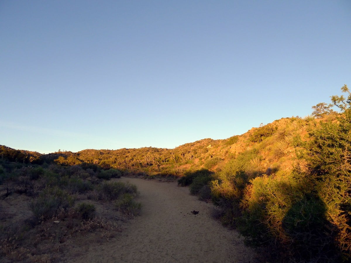
As you continue along the trail you will continue to lose a small amount of elevation and shortly enter a wash, essentially a dried up creek-bed that flows during the flash floods which occur irregularly in the region. It is typically the most efficient way to cross this type of terrain. The only downside is that you will be hiking in – typically – loose sand, which is not only somewhat challenging to walk in, but also gets in your shoes.
The wash will continue for a ways and start to steadily gain elevation. The grade is low, so this light climbing will feel very easy. Soon you will reach a junction that does not have the usual metal sign listing all possible destinations. Instead there will be a wooden post indicating PL (for Panorama Loop) and WP (for Warren Peak), with arrows pointing the respective ways. Turn right to continue in the direction of the WP arrow. From here the trail will steepen.
A short ways after the first fork you will reach a second, where the Panorama Loop rejoins the main trail. Continue right here again towards WP. Soon the rocky peak will come into view, and the grade of the trail will steepen. You will exit the wash and veer right, gaining the ridge. After a few steeper sections you will contour around the right side of the peak, then switchback to the summit. This last part of the climb, which is quite steep and in direct sunlight, can be extremely challenging.
Insider Hints
Add on the Panorama Loop to extend the hike.
This is arguably the best sunrise hike in the park. Leave early to get fantastic views of the stunning northwestern ranges of the park.

Similar hikes to the Warren Peak hike
Keys View Road to Pinto Basin Road Trail
The Keys View Road to Pinto Basin Road Trail is a moderately difficult one-way route in Joshua Tree National Park.…
Willow Hole Trail
The Willow Hole Trail is a picturesque route that provides lots of opportunities for wildlife viewing throughout its duration. The…
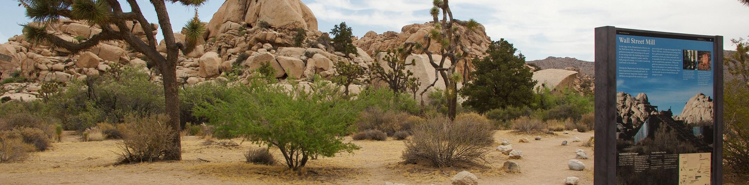
Wall Street Mill Trail
Short in length, but packed with things to see, the Wall Street Mill Trail is an ideal route for families…
Francine Robertson 4 years ago
Nice views from the top of Warren Peak. It was very interesting.
YashKumar 4 years ago
Absolute gorgeous desert sights and wonderful hiking opportunities.
yanagichan 4 years ago
We had an awesome day hike! I would love to come at night as the clear night skies are excellent for viewing the constellations, my friend told me.
orlando f. 4 years ago
Hiking through the loose sand portion was somewhat demanding. Bring enough water to cool down your temple.
Nora T. 4 years ago
This is a fun hike that has great views. Scenic overlook is awesome!
Stumpyboots 4 years ago
The scenery was like nothing I've ever seen before. I LOVE THIS PLACE!
Kenny Walks 4 years ago
This hike fit perfectly for what I was looking for. Good hike!
analee 4 years ago
Perfect at night because it's too hot in the morning. We captured the milky way on photos!
Stevie M 4 years ago
The last part of the mile is steep but this trail has amazing views from the top.
Raphael I. 4 years ago
Nice area, but beware of tumbleweeds as they are very itchy when touched.