
Lost Horse Loop Trail hike
View Photos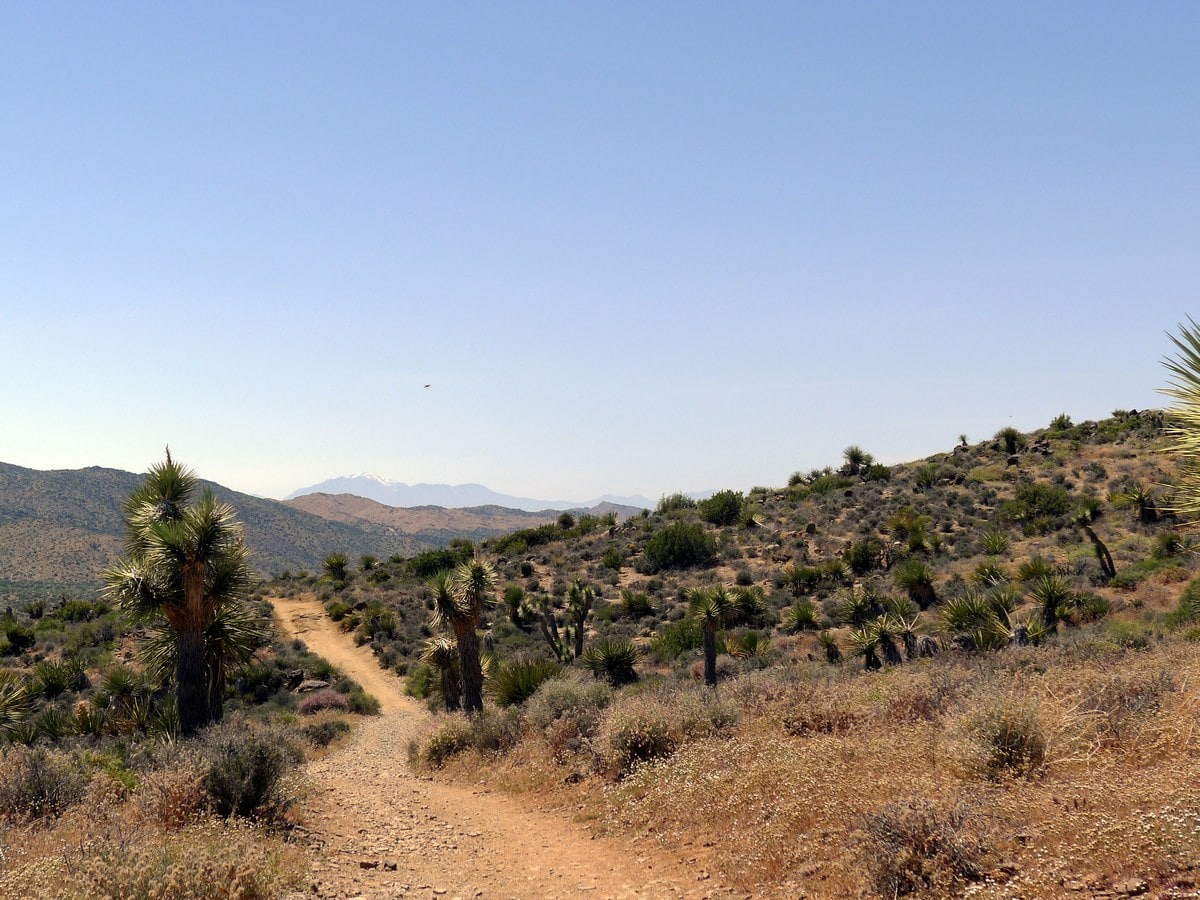
Lost Horse Loop Trail hike
Difficulty Rating:
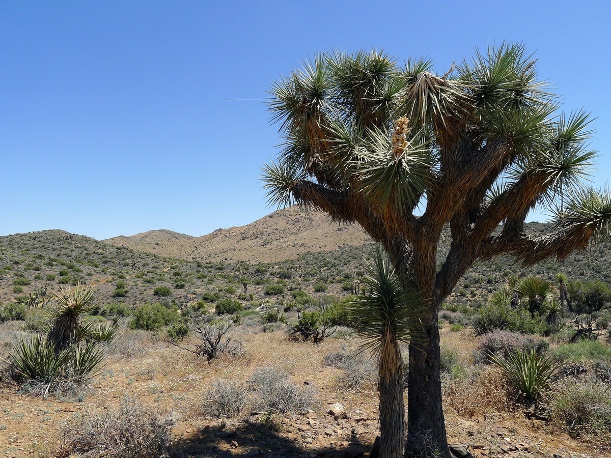
Passing by a historic Gold Mine then gaining a scenic ridge, the Lost Horse Loop Trail is truly a treat. Moderate elevation gain and stunning views make this hike a fantastic way to spend most of a day.
Getting there
Enter the park from the West Entrance Station below Joshua Tree Town. Continue down Park Boulevard until you see the well-indicated turnoff for Keys View. Turn right here and follow this narrow paved road until you see the small signs for Lost Horse Mine and Trail pointing to the left. Follow this dirt road to its end, where you will find a small dirt parking lot (which typically fills quickly).

About
| When to do | Spring and Fall, avoid summer heat |
| Backcountry Campsites | None |
| Toilets | At trailhead |
| Family friendly | No |
| Route Signage | Average |
| Crowd Levels | Moderate |
| Route Type | Circuit |
Lost Horse Loop Trail
Elevation Graph
Weather
Route Description for Lost Horse Loop Trail
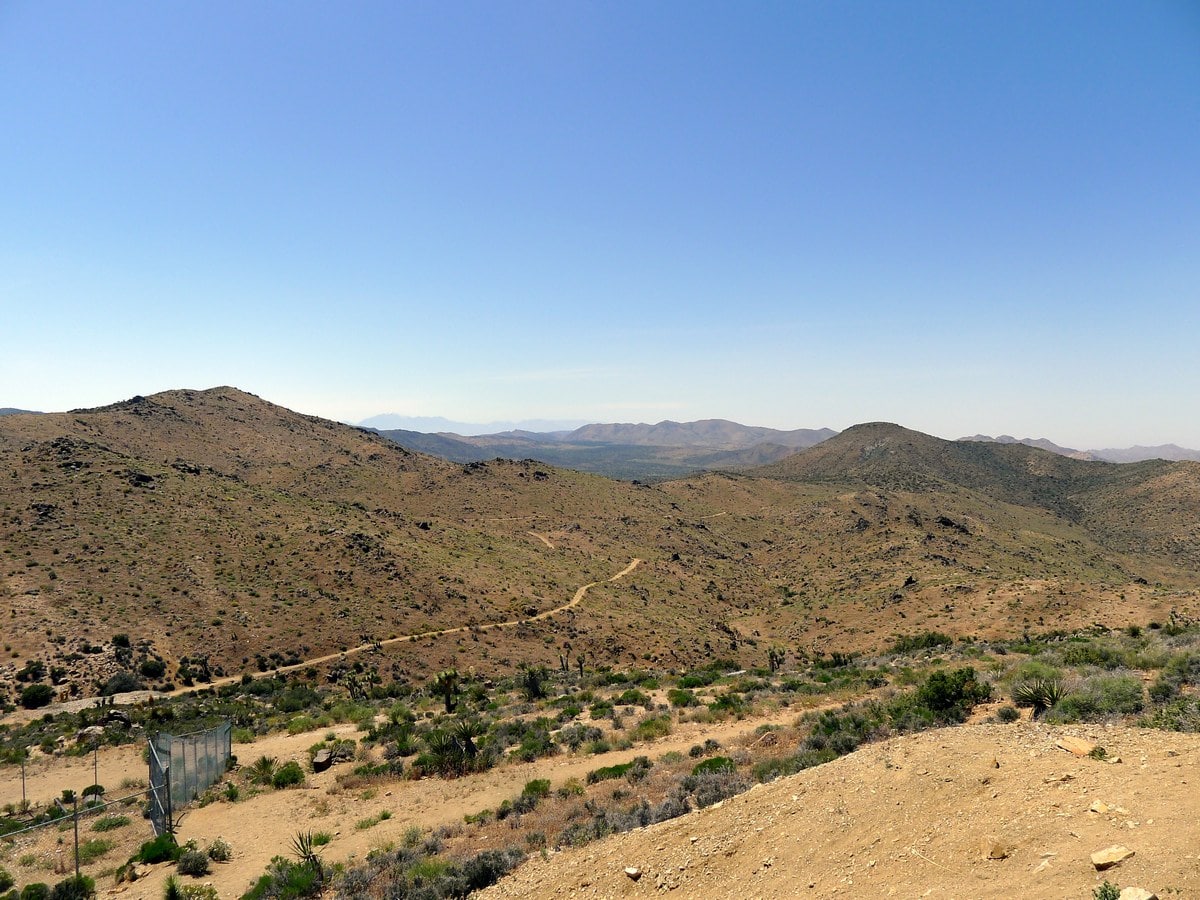
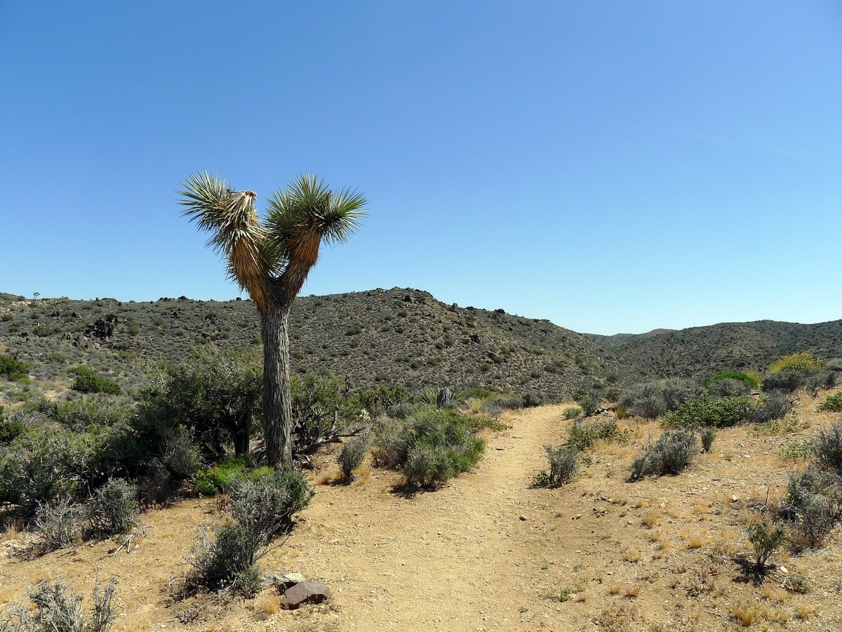
Find the trailhead at the far side of the parking lot, and start hiking on the wide double track trail. The path will ascend slightly and gain a small pass, where you will get your first fantastic views looking back the way you came. You will be able to see many of the stunning small mountain ranges of the park, as well as the small plateau you drove in on.
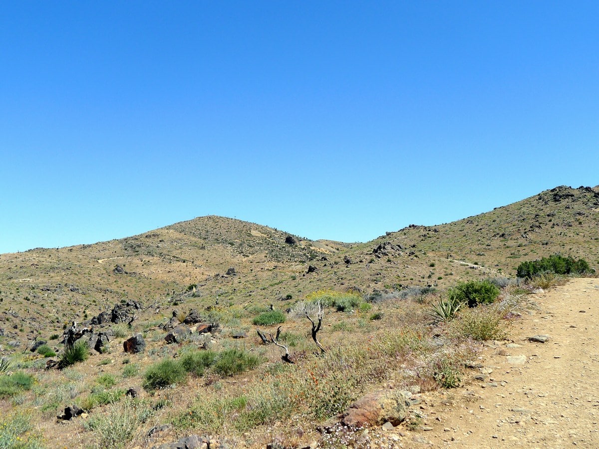
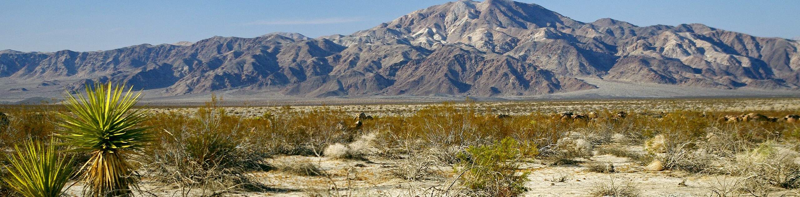
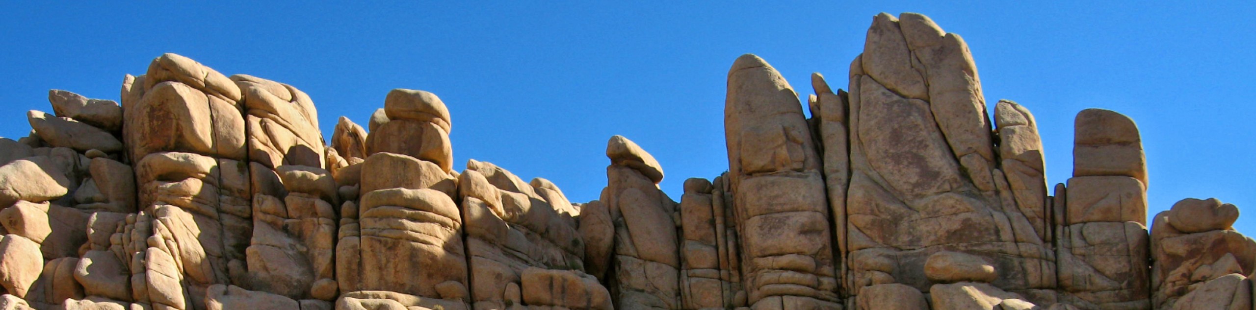
The trail will ungulate up and down along the side of the hill as it heads towards the old mine. Along this ridgeline you will start to have fantastic views down to the left, of Pleasant Valley. A couple of rock formations will dot the plane.
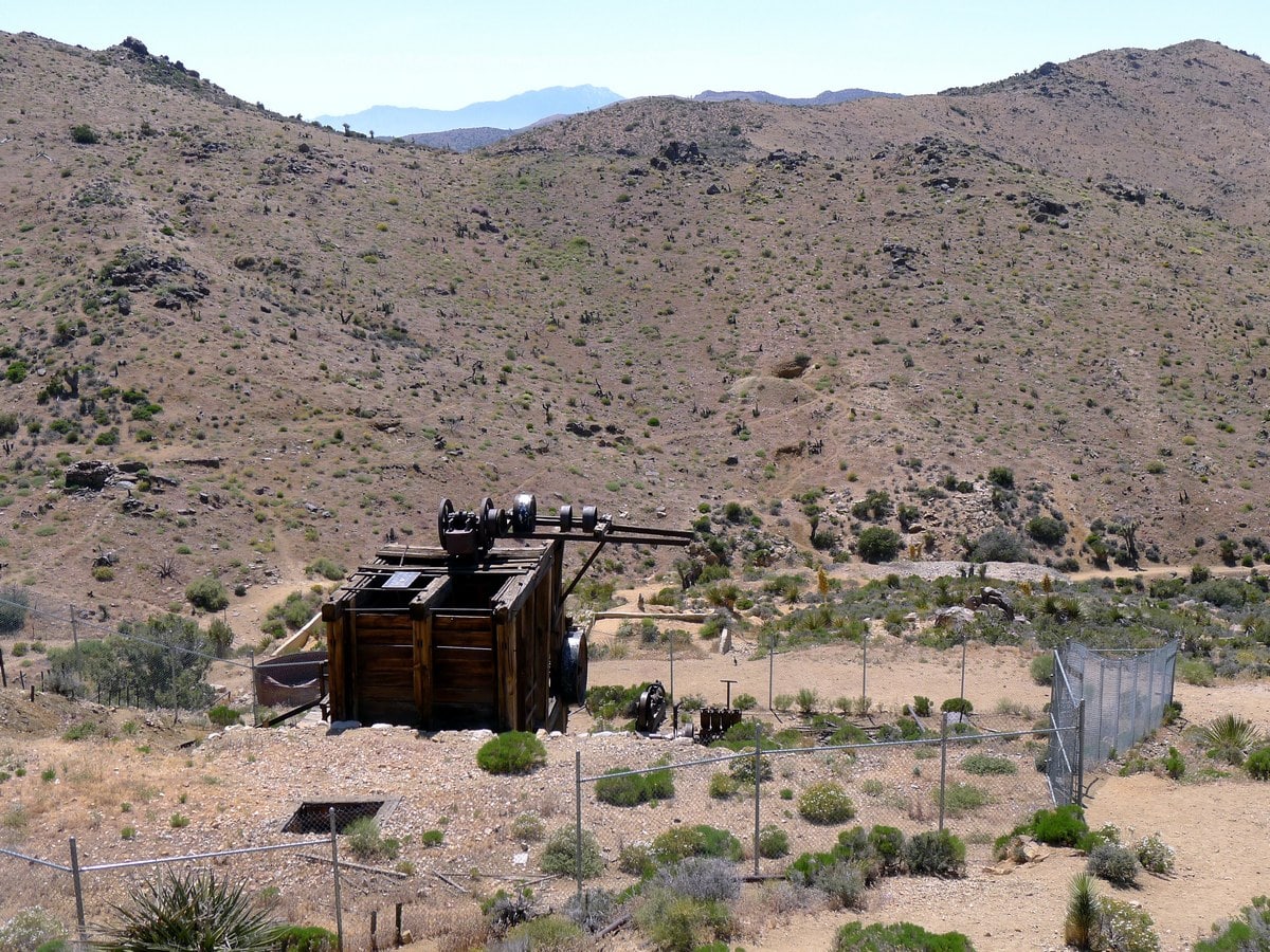
After going around several bends you will have your first view of the Lost Horse Mine. The mine produced roughly $5 million (in today’s dollars) worth of gold and silver when in operation, before shutting down in 1931, and was one of the few successful desert gold mines in the area.
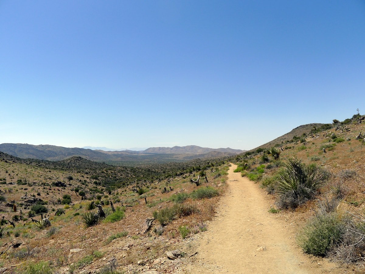
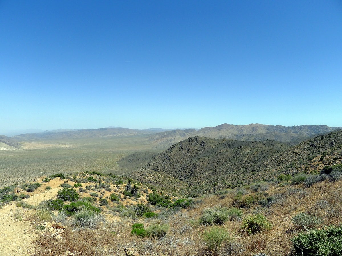
The trail passes somewhat closely by the fenced off mine, however we recommend turning left onto one of the plentiful unofficial trails and heading up to get a closer look. After admiring the old timber mine, head back to the trail and climb up a steeper trail to another small notch. From here you will traverse along a stunning ridge, gaining and losing elevation steeply. You will have some of the best views down to the left towards Pleasant Valley along this 3/4-mile section.
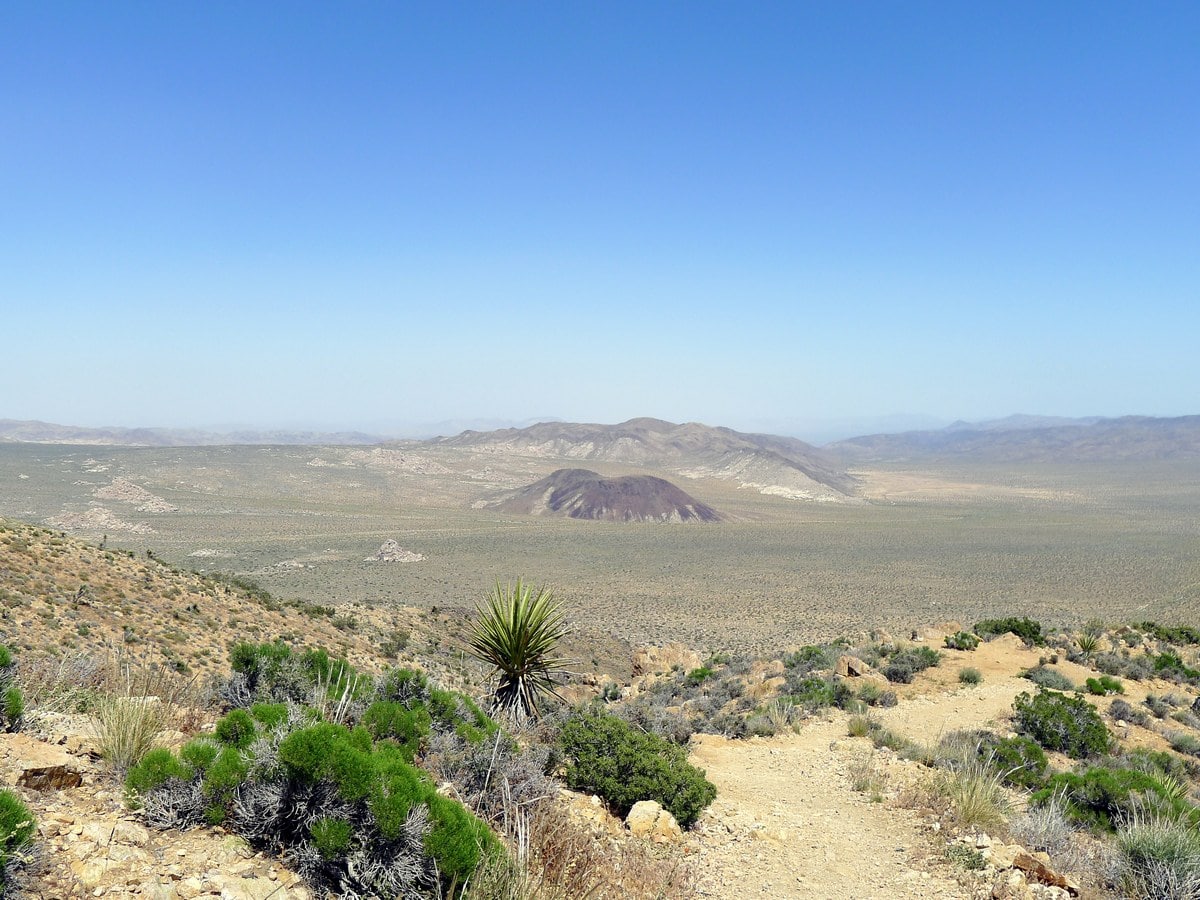
Finally the trail will veer right and start to slowly drop down into the valley on the other side of the small mountains you contoured around. The trail will join up with a wash (a dried up creek-bed which flows during the flash floods which occur irregularly in the region) and follow it almost all the way back to the parking lot. This is typically the most efficient way to cross terrain of this nature. The only downside is that you will be hiking in (typically) loose sand, which is not only somewhat challenging to walk in, but also gets in your shoes.
Finally arrive at the parking lot near its entrance as the trail turns harder right. Find your car and head out!
Insider Hints
The way described is the clockwise loop of the trail. We recommend completing the hike this way, as it provides a more gradual climb to the scenic ridge.

Similar hikes to the Lost Horse Loop Trail hike
Keys View Road to Pinto Basin Road Trail
The Keys View Road to Pinto Basin Road Trail is a moderately difficult one-way route in Joshua Tree National Park.…
Willow Hole Trail
The Willow Hole Trail is a picturesque route that provides lots of opportunities for wildlife viewing throughout its duration. The…
Wall Street Mill Trail
Short in length, but packed with things to see, the Wall Street Mill Trail is an ideal route for families…
Betty K. 4 years ago
Easy hike. Superb views. Bring lots of water.
Francine Robertson 4 years ago
The hike itself is beautiful, but it is quite strenuous.
yanagichan 4 years ago
The scenery and different types of desert plants/animals were very cool to see!
MichaelShulman 4 years ago
Scenic hike with picturesque views!
orlando f. 4 years ago
There are plenty of unofficial trails to try. But I wasn't feeling adventurous. Please try them.
Yael M. 4 years ago
I highly commend the old timber mine.
Nora T. 4 years ago
The trail weaves through many different rock formations and scenes of flora, which keeps it super exciting. Recommended if you are looking for some solitude.
Stumpyboots 4 years ago
Super views and great hike. Wonderful park
Kenny Walks 4 years ago
Super views and great hike. It is a peaceful hike
Teri Scott 4 years ago
I can say that this is a magnificent hike, so I’m giving it a perfect rating for accessibility, the quality of trails, and the scenery.