
High View Trail hike
View Photos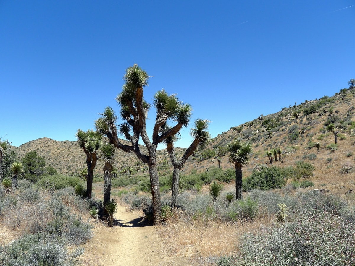
High View Trail hike
Difficulty Rating:
The scenic High View Trail loop climbs a small hill in the northwest corner of the park. With beautiful views and typically few people, this hike is a treat for anyone willing to find it!
Getting there
From Joshua Tree town, head west along Highway 62 (also know as 29 Palms Highway) for 2.0mi. Turn left onto Avalon Avenue then continue as it turns into Palomar Avenue. After just over 2.0mi you will reach a junction with Joshua Lane, turn left here. At the end of the road turn right onto San Marino Dr. and follow this road all the way to the campground. Along most of the route there are signs leading towards Black Rock Campground. Just before you reach the campground turn right onto the dirt road leading towards the horse campground. Follow this road past some park service buildings to its end, where you will find the small dirt parking lot.

About
| When to do | Spring and Fall, avoid summer heat |
| Backcountry Campsites | None |
| Toilets | At campground shortly before trailhead |
| Family friendly | Yes |
| Route Signage | Average |
| Crowd Levels | Moderate |
| Route Type | Circuit |
High View Trail
Elevation Graph
Weather
Route Description for High View Trail
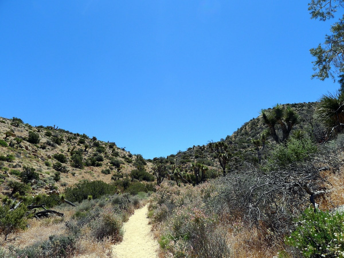
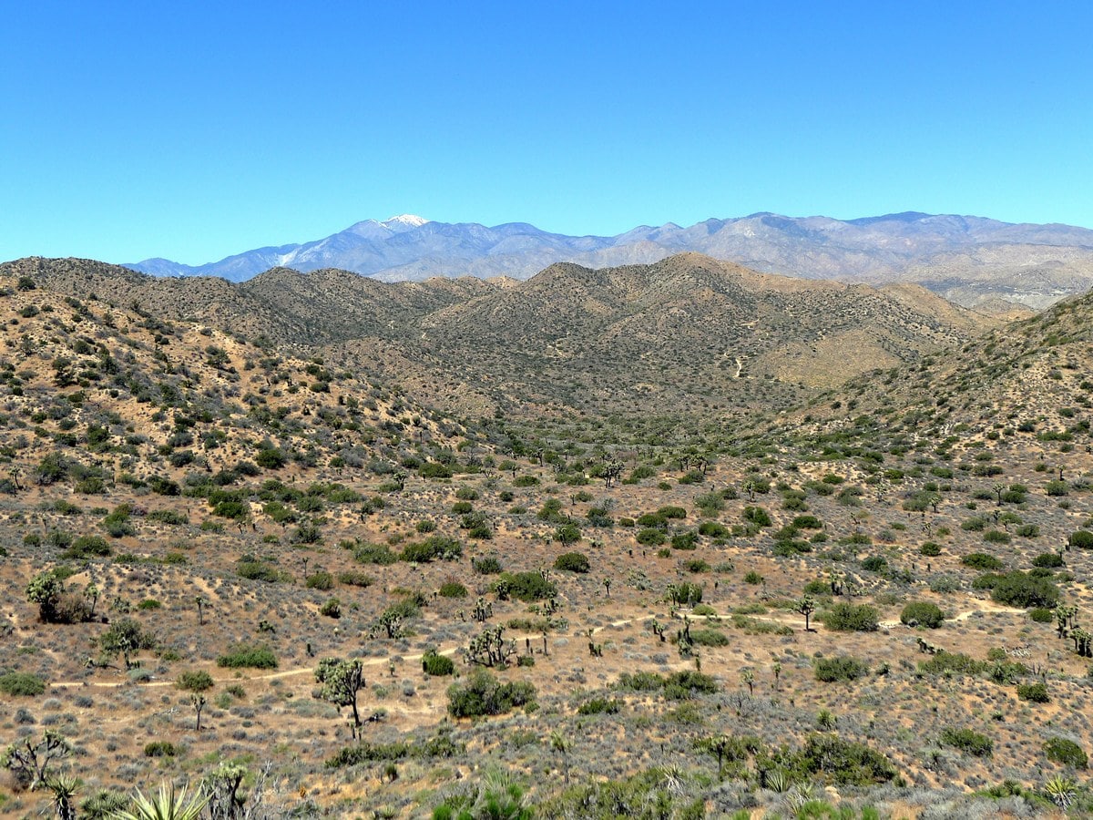
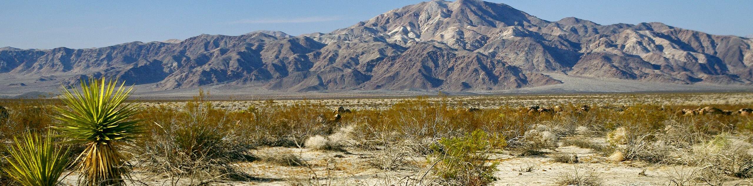
Find the trailhead on the far left side of the parking lot. The path will head out into the plane, and then veer slightly left as it climbs up a gully. Here, you will pass by plenty of desert shrubs as well as several large Joshua Trees.
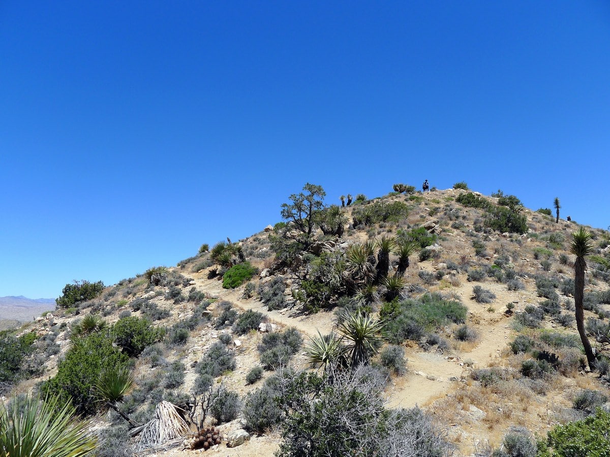
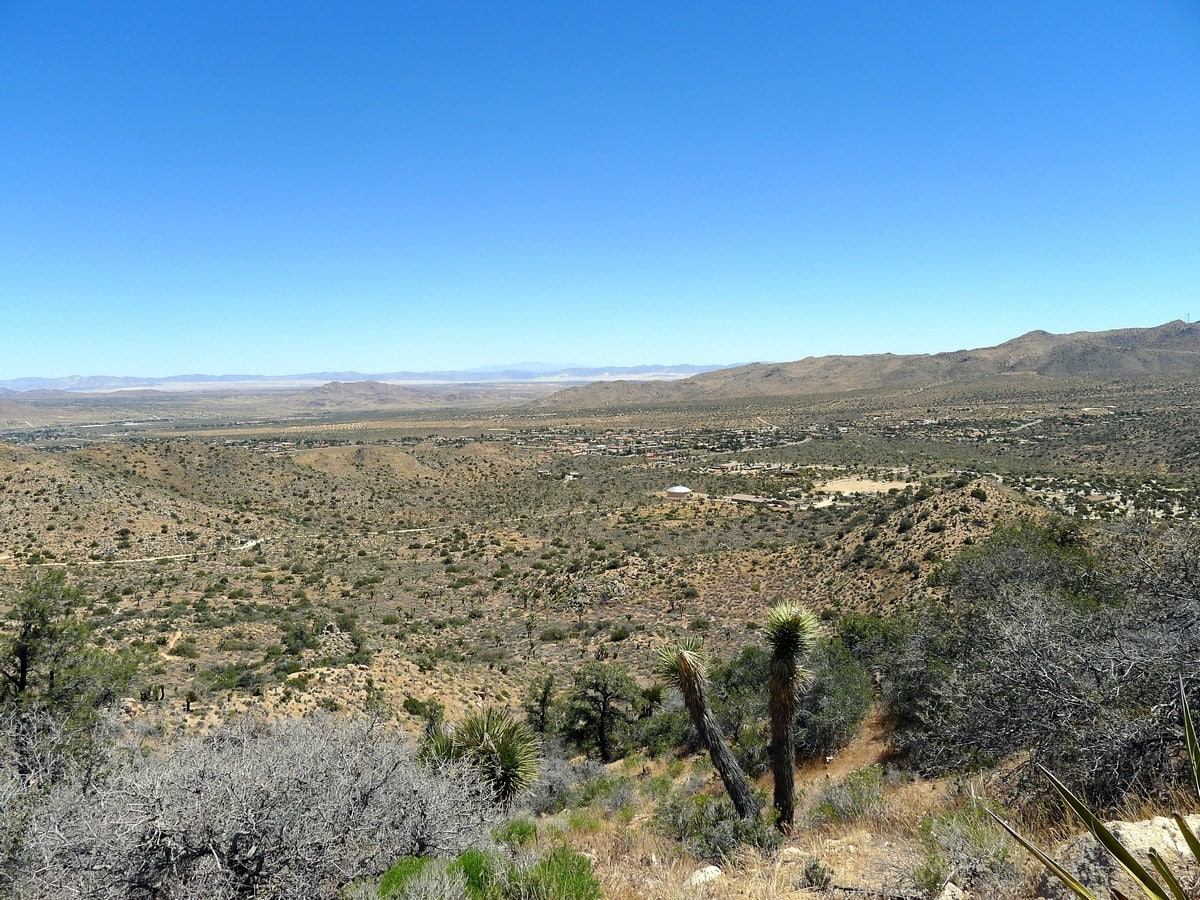
As you ascend the gully the grade never gets too steep. Looking back you will have incredible views of the western hills of Joshua Tree National Park. Finally you will wind around to the left and start climbing the ridgeline to get to the summit. At the top of this small knoll you will have truly panoramic views of this quiet section of the park. Looking directly across the valley, towards where you parked, you will be able to see the South Park Peak.
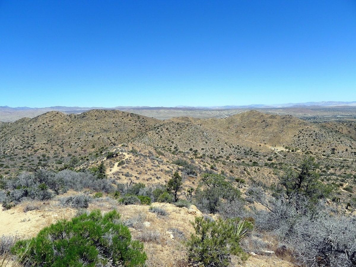
Further in distance you will be able to see plenty of rolling mountains, and even the city of Joshua Tree. This hike has high ‘bang for buck,’ as the climb is relatively easy but has absolutely incredible views! Remember to sign the small summit register before starting your descent.
The descent continues along the trail, heading more directly back towards your parked car.
Insider Hints
There is little wind in this section of the park, so the heat can be stifling. Leave early to enjoy the cooler mornings!
The dirt road is easily passable by sedans, however take care to go around the blind corners slowly.

Similar hikes to the High View Trail hike
Keys View Road to Pinto Basin Road Trail
The Keys View Road to Pinto Basin Road Trail is a moderately difficult one-way route in Joshua Tree National Park.…
Willow Hole Trail
The Willow Hole Trail is a picturesque route that provides lots of opportunities for wildlife viewing throughout its duration. The…
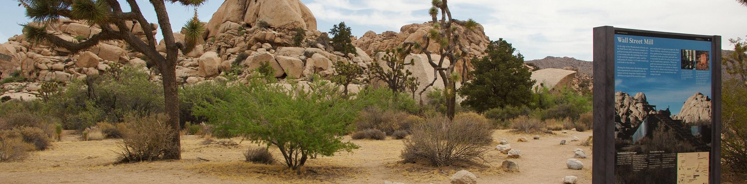
Wall Street Mill Trail
Short in length, but packed with things to see, the Wall Street Mill Trail is an ideal route for families…
Francine Robertson 4 years ago
Once at the top of this mountain, we had a beautiful view. Wow amazing!
cindychu 4 years ago
Some of the trails are not well marked so be sure to be finished before sundown.
Stevie M 4 years ago
Excellent, short hike with beautiful scenery. This is definitely a nice trail.
Charles W. 4 years ago
I was lucky enough to capture some nice sunset photos from here. It might be the best time to visit!
angelwest 4 years ago
This experience was marvelous, great hiking trails, not to be missed!
noahcyprus 4 years ago
It is desert so bring plenty of water, especially if hiking. I recommend going early.
maya konataka 5 years ago
It was so hot when I went here. There are very few shades so better use spf.
lemontree 5 years ago
Darn easy but the heat is somehow unbearable.
Siobhan Ringston 5 years ago
It is noticeable how there are more desert shrubs and Joshua trees in this hike compared to others.
Houston Jackson 5 years ago
The panoramic views were satisfying.